Bowgreen

Settlement in Cheshire

England

Bowgreen

Dunham Park This shot was taken at the eastern end of the deer park - you can even see some of the deer grazing.
Dunham Park Credit: Dave Smethurst

Bowgreen is a small village located in the county of Cheshire in England. Situated approximately 2 miles east of the town of Warrington, it falls within the borough of Halton. The village is part of a larger urban area, surrounded by residential neighborhoods.

Historically, Bowgreen was an agricultural community, with farming being the primary occupation of its inhabitants. Over the years, however, it has evolved into a more residential area, with a mix of detached houses, semi-detached houses, and some terraced properties. The village retains a charming rural atmosphere, characterized by tree-lined streets and open green spaces.

Bowgreen benefits from its proximity to Warrington, which offers a wide range of amenities and services. Residents have convenient access to schools, healthcare facilities, shopping centers, and recreational areas. The village is also well-connected, with several bus routes passing through, providing links to nearby towns and cities.

For outdoor enthusiasts, the nearby Mersey River offers opportunities for scenic walks and picnics. Additionally, the village is close to the expansive green spaces of Victoria Park, which provides ample recreational facilities including sports fields, playgrounds, and a leisure center.

In summary, Bowgreen is a peaceful and picturesque village in Cheshire, offering a tranquil residential environment with easy access to nearby urban amenities. Its rural charm, combined with its convenient location, makes it an attractive place to live for those seeking a balance between countryside living and urban convenience.

If you have any feedback on the listing, please let us know in the comments section below.
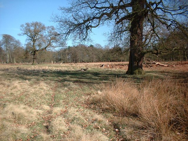
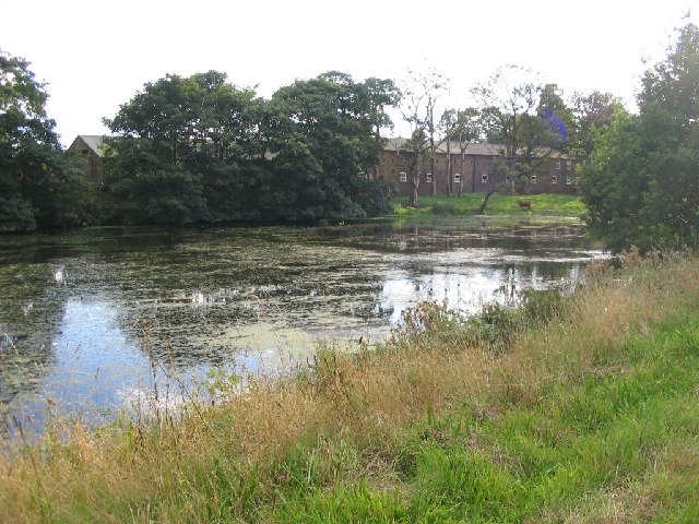
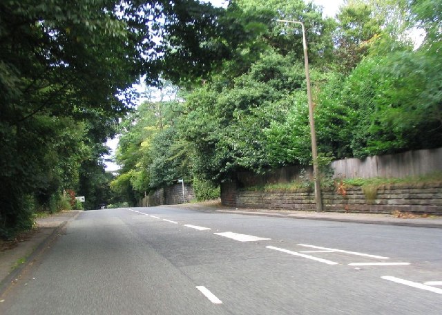
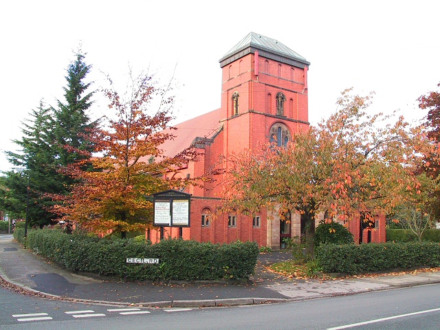
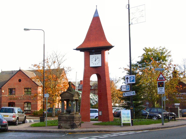
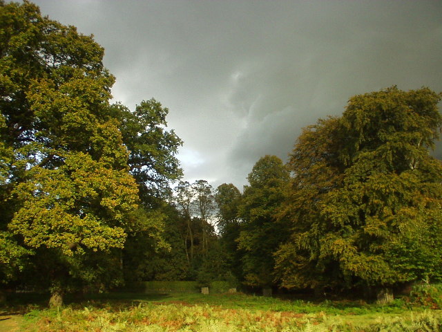
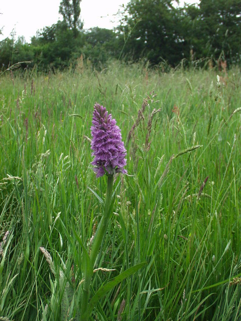
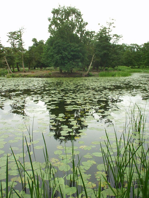
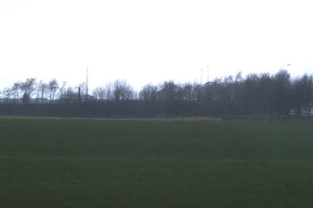
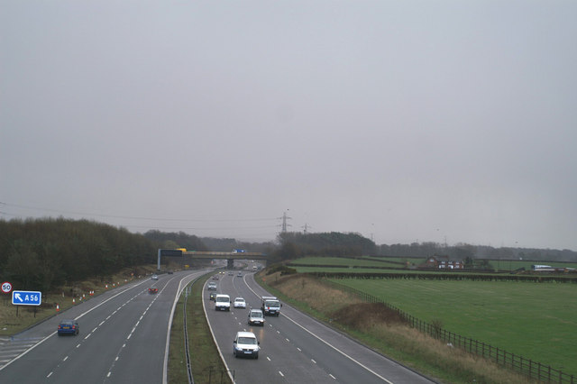
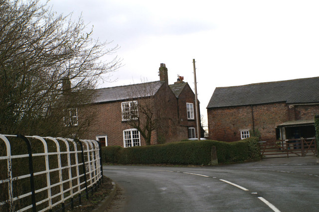
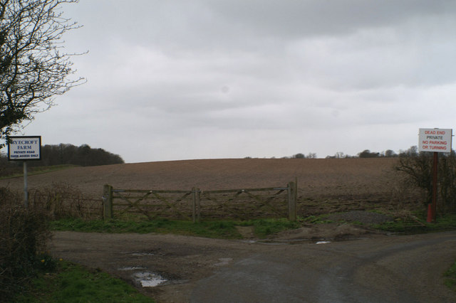
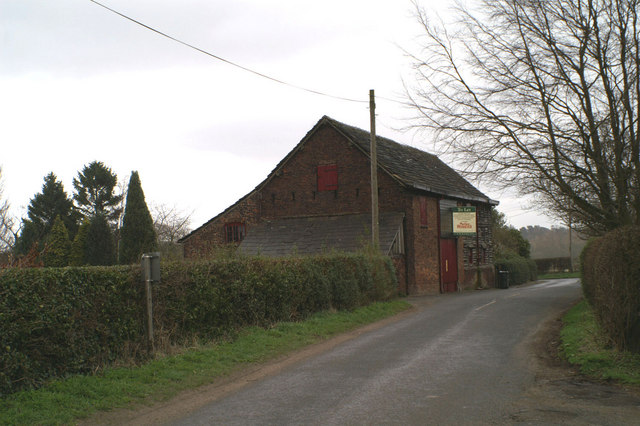
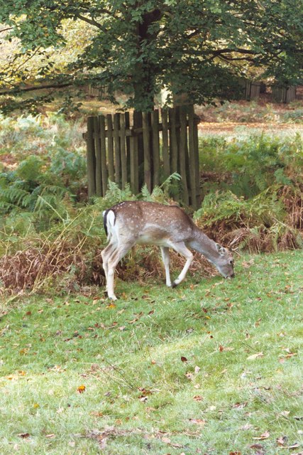
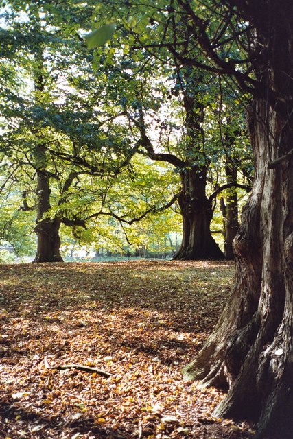
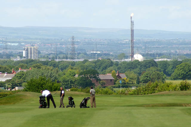
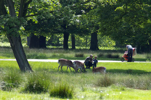
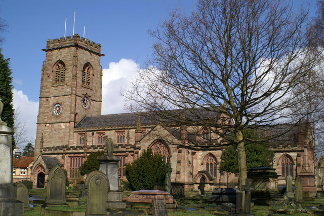
Bowgreen Images

Images are sourced within 2km of 53.371622/-2.371661 or Grid Reference SJ7586. Thanks to Geograph Open Source API. All images are credited.

Dunham Park This shot was taken at the eastern end of the deer park - you can even see some of the deer grazing.
Dunham Park
This shot was taken at the eastern end of the deer park - you can even see some of the deer grazing.
Home Farm This picture was taken from SJ744864 looking SW across the pond to Home Farm, this farm has been previously known as Dunham Farm.
Home Farm
This picture was taken from SJ744864 looking SW across the pond to Home Farm, this farm has been previously known as Dunham Farm.
A556 This is the view from SJ752872 looking NE along the A556 heading towards Altrincham.
A556
This is the view from SJ752872 looking NE along the A556 heading towards Altrincham.
Hale United Reformed Church On the corner of Cecil Road, Hale, this church is circa 1904.
Hale United Reformed Church
On the corner of Cecil Road, Hale, this church is circa 1904.
Old and New The fountain is of 1908 vintage, the clock quite a bit more recent. They stand in the square near Hale station and level crossing.
Old and New
The fountain is of 1908 vintage, the clock quite a bit more recent. They stand in the square near Hale station and level crossing.
Beech Trees at Dunham Park In the north east corner of the deep park at Dunham Massey.
Beech Trees at Dunham Park
In the north east corner of the deep park at Dunham Massey.
Meadow at The Devisdale The Devisdale is an area of open fields near Bowdon, surrounded on all sides by housing. Can any one identify the species of this orchid?
Meadow at The Devisdale
The Devisdale is an area of open fields near Bowdon, surrounded on all sides by housing. Can any one identify the species of this orchid?
Island Pool, Dunham Massey A small lake with the deer park. National Trust property.
Island Pool, Dunham Massey
A small lake with the deer park. National Trust property.
If the Romans could see it now The A560, Watling Street, raised on an embankment to clear the M56
If the Romans could see it now
The A560, Watling Street, raised on an embankment to clear the M56
Headlight code Wet and gloomy view eastwards on the M56
Headlight code
Wet and gloomy view eastwards on the M56
Bowdon Parish Church Well worth a visit just for its extensive and spectacular graveyard
Bowdon Parish Church
Well worth a visit just for its extensive and spectacular graveyard
Bowgreen Farm, Bow Lane, Bowdon
The natives may be friendly... ...if only you could meet them.
The natives may be friendly...
...if only you could meet them.
The barn at Coppice Farm, Ashley
Dunhan Massey Deer park
Amongst the beech trees, Dunham Massey
Hole 7, Dunham Forest Golf and Country Club This telephoto shot makes the chemical works at Carrington appear to loom over the golf course - in reality it is several kilometres away.
Hole 7, Dunham Forest Golf and Country Club
This telephoto shot makes the chemical works at Carrington appear to loom over the golf course - in reality it is several kilometres away.
Watching the deer in Dunham Park (National Trust) The fallow deer in Dunham Park are very approachable. The bucks will let you get within a few metres, although the does are more wary and tend to keep further away from the visitors
Watching the deer in Dunham Park (National Trust)
The fallow deer in Dunham Park are very approachable. The bucks will let you get within a few metres, although the does are more wary and tend to keep further away from the visitors
Show me another place!

Bowgreen is located at Grid Ref: SJ7586 (Lat: 53.371622, Lng: -2.371661)

Unitary Authority: Trafford

Police Authority: Greater Manchester

What 3 Words

///animal.curve.casual. Near Bowdon, Manchester

Nearby Locations

Bowdon Bowgreen

Related Wikis

Bowdon Urban District

Bowdon Urban District is a former Urban District in Cheshire, based in the village of Bowdon. It was created in 1894 and abolished in 1974 when it was...

Bowdon, Greater Manchester

Bowdon is a suburb of Altrincham and electoral ward in the Metropolitan Borough of Trafford, Greater Manchester, England. == History == Within the boundaries...

Watch Hill Castle

Watch Hill Castle (also known as Yarwood Castle, Castle Hill, and Bowdon Watch) is a medieval motte-and-bailey on the boundary of Bowdon and Dunham Massey...

Church of St Mary the Virgin, Bowdon

The Church of St Mary the Virgin is in the village of Bowdon near Altrincham, Greater Manchester, England. It is recorded in the National Heritage List...

Nearby Amenities

Located within 500m of 53.371622,-2.371661
Post Box
Operator: Royal Mail
Operator Wikidata: Q638098
Post Box Type: wall
Ref: WA14 111
Royal Cypher: yes
Lat/Long: 53.3687908/-2.3675746
Barrier: cycle_barrier
Lat/Long: 53.3759265/-2.3705145
Bus Stop
Bowdon Vale, southbound Bow Lane
Bus: yes
Network: TfGM
Operator: TfGM
Public Transport: platform
Lat/Long: 53.3707543/-2.370689
Bench
Lat/Long: 53.3739106/-2.3748537
Bench
Lat/Long: 53.3737595/-2.374796
Entrance: main
Lat/Long: 53.3728172/-2.3655577
Post Box
Operator: Royal Mail
Operator Wikidata: Q638098
Post Box Design: type_b
Post Box Type: pillar
Ref: WA14 101
Royal Cypher: GR
Lat/Long: 53.3754926/-2.3694228
The data included in this document is from www.openstreetmap.org. The data is made available under ODbL.

Have you been to Bowgreen?

Leave your review of Bowgreen below (or comments, questions and feedback).