Upper Hyde

Settlement in Hampshire

England

Upper Hyde

Sandown Bay As viewed from Shanklin Down. Shanklin is in the foreground, Sandown in the centre near the pier and Culver Cliff bringing up the furthest point of the cliffs.
Sandown Bay Credit: Simon Carey

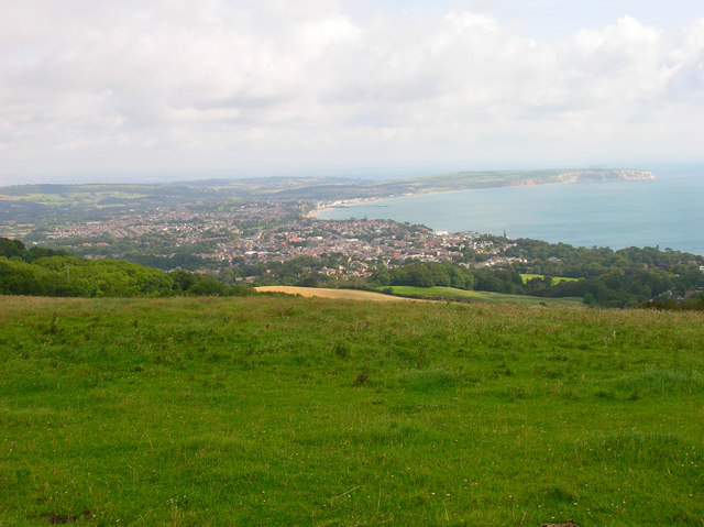
Upper Hyde is a small village located in the county of Hampshire, in southern England. Situated within the New Forest National Park, it is surrounded by picturesque countryside and offers a tranquil setting for residents and visitors alike. The village is part of the civil parish of Hyde, which also includes the neighboring village of Lower Hyde.

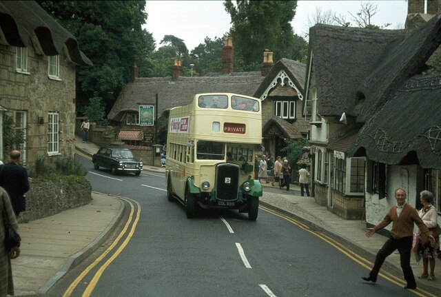
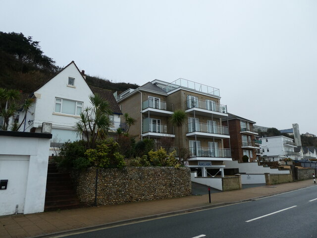
Upper Hyde is primarily a residential area with a close-knit community. It features a mix of traditional cottages, modern houses, and a few local businesses. The village is known for its charming character, with many buildings retaining their original architectural style. The area is well-maintained, with clean streets and well-kept gardens.

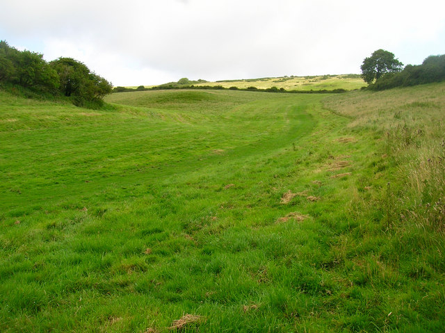
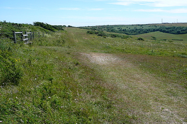
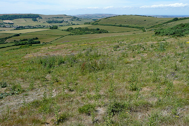
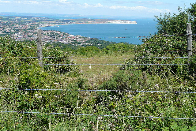
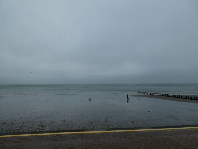
Nature enthusiasts are attracted to Upper Hyde due to its proximity to the New Forest. The national park provides ample opportunities for hiking, cycling, and wildlife spotting. The village is also close to several nature reserves and woodlands, making it an ideal base for outdoor activities.

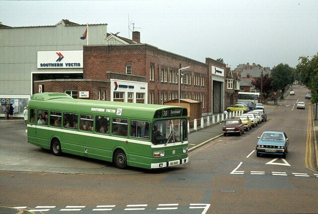
Despite its rural location, Upper Hyde benefits from good transport links. The nearby A35 road connects the village to larger towns and cities in the region, including Southampton and Bournemouth. The nearest train station is Ashurst, approximately five miles away, providing further accessibility to other parts of Hampshire and beyond.

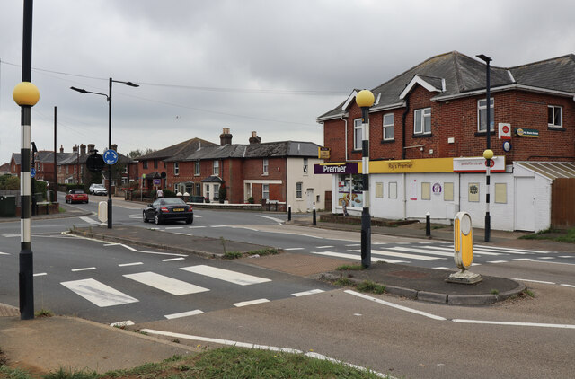
In terms of amenities, Upper Hyde has limited facilities within the village itself. However, the nearby towns of Lyndhurst and Brockenhurst offer a wider range of shops, restaurants, and services. Additionally, the village is within a short drive of several primary and secondary schools, making it an attractive place for families.

Overall, Upper Hyde is a charming and peaceful village, offering a rural lifestyle within easy reach of urban amenities.

If you have any feedback on the listing, please let us know in the comments section below.
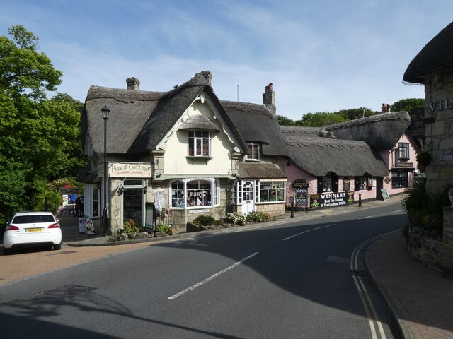
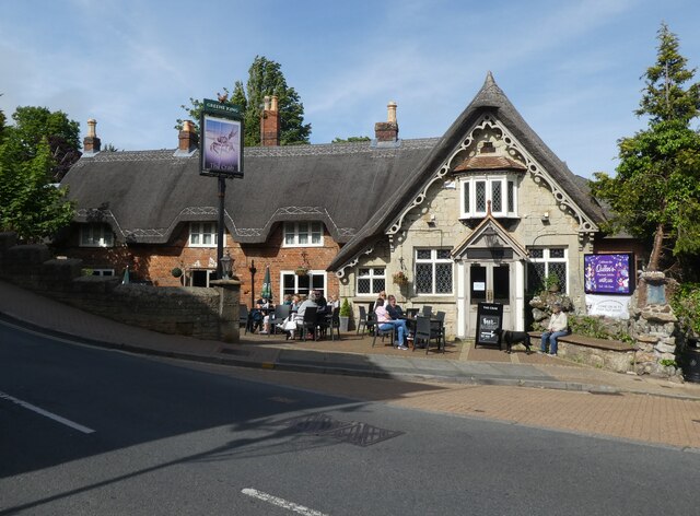
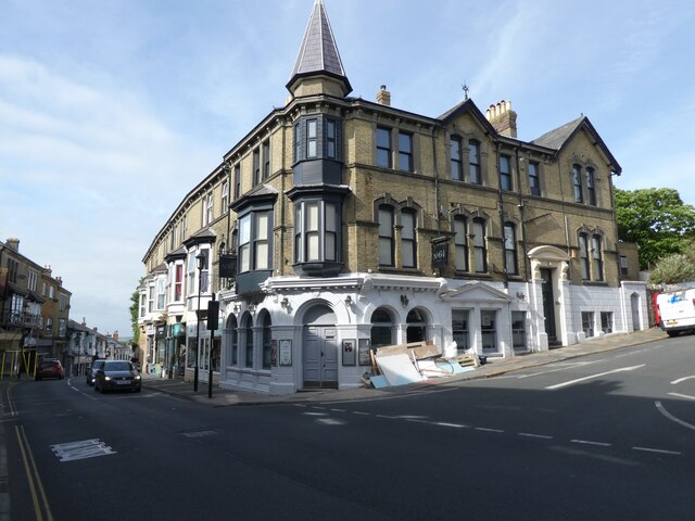
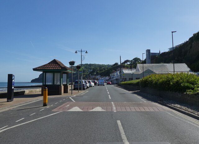
Upper Hyde Images

Images are sourced within 2km of 50.630943/-1.1930493 or Grid Reference SZ5781. Thanks to Geograph Open Source API. All images are credited.

Sandown Bay As viewed from Shanklin Down. Shanklin is in the foreground, Sandown in the centre near the pier and Culver Cliff bringing up the furthest point of the cliffs.
Sandown Bay
As viewed from Shanklin Down. Shanklin is in the foreground, Sandown in the centre near the pier and Culver Cliff bringing up the furthest point of the cliffs.
Shanklin Down Looking up the combe from the bridleway that links Shanklin Down with Middle Barn,
Shanklin Down
Looking up the combe from the bridleway that links Shanklin Down with Middle Barn,
Shanklin Down This is a good bridleway on broad downland towards the radar and radio masts at St. Boniface Down <a href="https://www.geograph.org.uk/gridref/SZ5678">SZ5678</a>.  It is usually much more popular with walkers.
Shanklin Down
This is a good bridleway on broad downland towards the radar and radio masts at St. Boniface Down SZ5678. It is usually much more popular with walkers.
From Shanklin Down Looking north-west from the wide downland with St. Martin's Down <a href="https://www.geograph.org.uk/gridref/SZ5680">SZ5680</a> to the right and Wroxall <a href="https://www.geograph.org.uk/gridref/SZ5579">SZ5579</a> in the valley to the left.
From Shanklin Down
Looking north-west from the wide downland with St. Martin's Down SZ5680 to the right and Wroxall SZ5579 in the valley to the left.
View from Shanklin Down There is not much interest in the scrubby downland in the foreground.  The interest lies in the view, towards Shanklin <a href="https://www.geograph.org.uk/gridref/SZ5881">SZ5881</a> and round Sandown Bay to Culver Down <a href="https://www.geograph.org.uk/gridref/SZ6385">SZ6385</a> the eastern end of the island.
View from Shanklin Down
There is not much interest in the scrubby downland in the foreground. The interest lies in the view, towards Shanklin SZ5881 and round Sandown Bay to Culver Down SZ6385 the eastern end of the island.
High Street, Shanklin – 1978 Providing an 'olde-tyme' backdrop to a venerable bus.

Southern Vectis 702 is a Bristol K with ECW bodywork, new to the company in 1939 and converted for open top services in 1959. When this view was taken she was already approaching her 40th year of service with the company, and although seen here on a private charter, was still regularly used on normal services. In 2021, now affectionately called 'The Old Girl', she is still in service, although now only used for special private charter work. As such, she holds the UK, and possibly world, record for a bus in continuous service with the same operator.

This is one of a series of views featuring buses in the 60s, 70s, and 80s. <a title="https://www.geograph.org.uk/search.php?i=137652761" href="https://www.geograph.org.uk/search.php?i=137652761">Link</a>
High Street, Shanklin – 1978
Providing an 'olde-tyme' backdrop to a venerable bus. Southern Vectis 702 is a Bristol K with ECW bodywork, new to the company in 1939 and converted for open top services in 1959. When this view was taken she was already approaching her 40th year of service with the company, and although seen here on a private charter, was still regularly used on normal services. In 2021, now affectionately called 'The Old Girl', she is still in service, although now only used for special private charter work. As such, she holds the UK, and possibly world, record for a bus in continuous service with the same operator. This is one of a series of views featuring buses in the 60s, 70s, and 80s. Link
Crossroads at Apse Heath Showing the single local store at the intersection of the A3056 Newport Road, with Alverstone Road to the north and Ventnor Road to the south.
Crossroads at Apse Heath
Showing the single local store at the intersection of the A3056 Newport Road, with Alverstone Road to the north and Ventnor Road to the south.
Bus station and garage, Shanklin – 1978 Many major bus companies between the 1930s and 1950s combined garaging of buses with passenger terminals, and Southern Vectis was no exception. This view shows the scene when Southern Vectis was part of the National Bus Company. The bus is a Leyland National, no.883. This was the standard single deck bus developed for the NBC in the early 1970s and was found throughout the UK, with over 7000 being built.

The site is now occupied by a supermarket <a title="https://www.geograph.org.uk/photo/6585151" href="https://www.geograph.org.uk/photo/6585151">Link</a> with bus services now loading at the kerbside on Landguard Road.

This is one of a series of views featuring buses in the 60s, 70s, and 80s. <a title="https://www.geograph.org.uk/search.php?i=137652761" href="https://www.geograph.org.uk/search.php?i=137652761">Link</a>
Bus station and garage, Shanklin – 1978
Many major bus companies between the 1930s and 1950s combined garaging of buses with passenger terminals, and Southern Vectis was no exception. This view shows the scene when Southern Vectis was part of the National Bus Company. The bus is a Leyland National, no.883. This was the standard single deck bus developed for the NBC in the early 1970s and was found throughout the UK, with over 7000 being built. The site is now occupied by a supermarket Link with bus services now loading at the kerbside on Landguard Road. This is one of a series of views featuring buses in the 60s, 70s, and 80s. Link
The Adelaide, Esplanade
Walking the dog at Shanklin (taken from Esplanade)
Walking the dog at Shanklin
(taken from Esplanade)
Shanklin Pier (1)
Shanklin Pier (1)
Shanklin Pier (2)
Shanklin Pier (2)
Old Milestone, Shanklin, IoW By the east side of the drive to 26 Church Road  on the SE verge.

Inscription (was): 9 miles to Ryde

Grade II listed see <span class="nowrap"><a title="https://historicengland.org.uk/listing/the-list/list-entry/1212473" rel="nofollow ugc noopener" href="https://historicengland.org.uk/listing/the-list/list-entry/1212473">Link</a><img style="margin-left:2px;" alt="External link" title="External link - shift click to open in new window" src="https://s1.geograph.org.uk/img/external.png" width="10" height="10"/></span>

Milestone Society National ID: HA_RYVN09
Old Milestone, Shanklin, IoW
By the east side of the drive to 26 Church Road on the SE verge. Inscription (was): 9 miles to Ryde Grade II listed see LinkExternal link Milestone Society National ID: HA_RYVN09
Pencil Cottage, Shanklin
'The Crab', Shanklin
No 64, Shanklin Undergoing refurbishment, in May 2022.
No 64, Shanklin
Undergoing refurbishment, in May 2022.
The Esplanade, Shanklin
Taking orders at the Fisherman's Cottage Inn
Show me another place!

Upper Hyde is located at Grid Ref: SZ5781 (Lat: 50.630943, Lng: -1.1930493)

Unitary Authority: Isle of Wight

Police Authority: Hampshire

What 3 Words

///climate.pasting.glassware. Near Shanklin, Isle of Wight

Related Wikis

America Wood

America Wood (grid reference SZ567820) is a 21.4 hectare biological Site of Special Scientific Interest on the Isle of Wight, notified in 1986. Legend...

Shanklin railway station

Shanklin railway station is a Grade II listed railway station serving Shanklin on the Isle of Wight. It is the present terminus of the Island Line from...

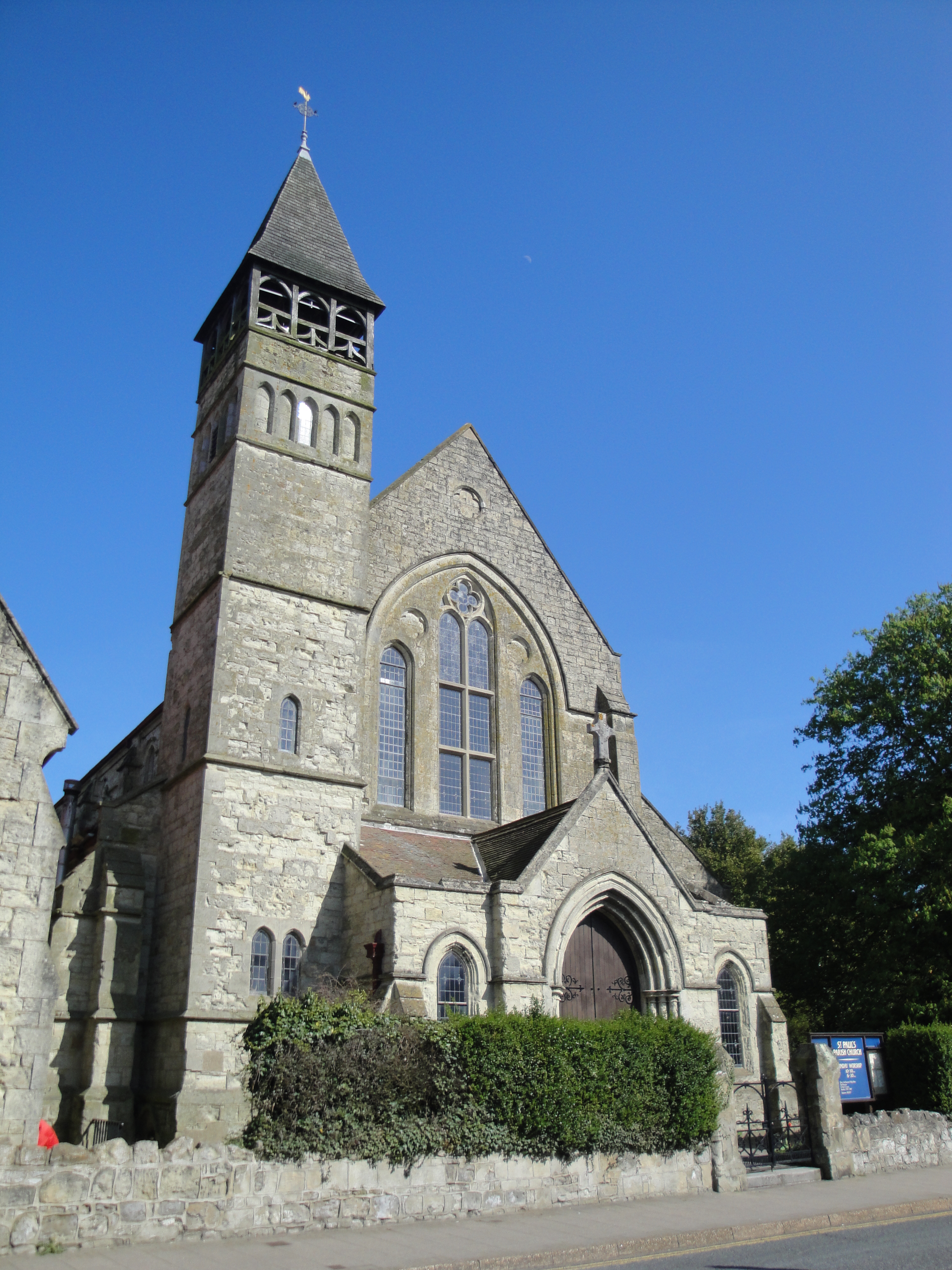
St Paul's Church, Gatten, Shanklin

St. Paul's Church, Gatten, Shanklin is a parish church in the Church of England located in Shanklin, Isle of Wight. == History == It is an ecclesiastical...

Ninham

Ninham is a hamlet on the Isle of Wight in the parish of Shanklin, and about 2 miles (3.3 km) away from Shanklin, the nearest tourist town. It is about...

Landguard Manor

Landguard Manor (or Languard) is a manor house in Shanklin on the Isle of Wight, England. Mentioned in the Domesday Book, over the centuries it was home...

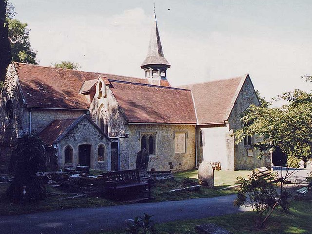
St Blasius Church, Shanklin

St. Blasius Church, Shanklin is a parish church in the Church of England located in Shanklin, Isle of Wight. The church is medieval but was largely rebuilt...
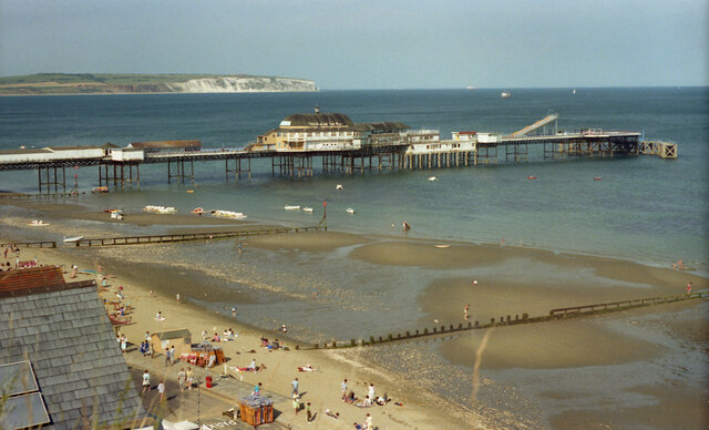
Shanklin

Shanklin () is a seaside resort town and civil parish on the Isle of Wight, England, located on Sandown Bay. Shanklin is the southernmost of three settlements...

Church of St Saviour-on-the-Cliff, Shanklin

The Church of St. Saviour-on-the-Cliff, Shanklin is a Grade II Listed parish church in the Church of England located in Shanklin, Isle of Wight. ��2�...

Nearby Amenities

Located within 500m of 50.630943,-1.1930493
Turning Circle
Lat/Long: 50.6271294/-1.1933467
Carter Avenue
Note: OJW reference 92
Source: GPS waypoint
Lat/Long: 50.6315184/-1.1866241
Source: landsat photo
Lat/Long: 50.6319661/-1.1990203
Source: landsat photo
Lat/Long: 50.6325378/-1.1993834
Source: landsat photo
Lat/Long: 50.6350807/-1.1956995
Source: landsat photo
Lat/Long: 50.6350603/-1.194783
Source: landsat photo
Lat/Long: 50.633408/-1.1956835
Source: landsat photo
Lat/Long: 50.6331424/-1.1966466
Source: landsat photo
Lat/Long: 50.6338843/-1.1976081
Source: landsat photo
Lat/Long: 50.6336878/-1.1976796
Source: landsat photo
Lat/Long: 50.6330959/-1.1977607
Source: landsat photo
Lat/Long: 50.6322517/-1.1974579
Source: landsat photo
Lat/Long: 50.6313917/-1.1978706
Barrier: stile
Lat/Long: 50.6286075/-1.1983936
Source: Locally rectified NPE map
Lat/Long: 50.6287726/-1.1988338
Bus Stop
Cliff Bridge
Bench: no
Bin: no
Bus: yes
Contact Website: https://www.islandbuses.info/stops/230000003820
Naptan AtcoCode: 230000003820
Naptan Bearing: NW
Naptan CommonName: Cliff Bridge
Naptan Indicator: towards Newport
Naptan NaptanCode: iowdgjw
Naptan Street: Victoria Avenue
Public Transport: platform
Shelter: no
Source: naptan_import
Survey Date: 2020-01-25
Tactile Paving: no
Lat/Long: 50.6277702/-1.1958111
Bus Stop
Cliff Bridge
Bench: yes
Bus: yes
Contact Website: https://www.islandbuses.info/stops/230000003870
Naptan AtcoCode: 230000003870
Naptan Bearing: SE
Naptan CommonName: Cliff Bridge
Naptan Indicator: towards Shanklin
Naptan NaptanCode: iowdgmp
Naptan Street: Victoria Avenue
Public Transport: platform
Shelter: yes
Source: naptan_import
Survey Date: 2020-01-25
Tactile Paving: no
Lat/Long: 50.6290624/-1.197094
Barrier: stile
Lat/Long: 50.6287662/-1.1988132
Barrier: stile
Lat/Long: 50.6281961/-1.1969547
Bus Stop
Westhill Road
Bench: yes
Bin: no
Bus: yes
Contact Website: https://www.islandbuses.info/stops/230000003480
Naptan AtcoCode: 230000003480
Naptan Bearing: NW
Naptan CommonName: Westhill Road
Naptan Indicator: adj
Naptan NaptanCode: iowdata
Naptan Street: Victoria Avenue
Public Transport: platform
Ref GB Uprn: 10025670767
Shelter: yes
Source: naptan_import
Survey Date: 2020-01-25
Tactile Paving: no
Lat/Long: 50.6272172/-1.1893232
Bus Stop
Carter Avenue
Bench: no
Bin: no
Bus: yes
Contact Website: https://www.islandbuses.info/stops/230000003490
Naptan AtcoCode: 230000003490
Naptan Bearing: W
Naptan CommonName: Carter Avenue
Naptan Indicator: Outside no 84
Naptan NaptanCode: iowdatd
Naptan Street: Carter Avenue
Public Transport: platform
Shelter: no
Source: naptan_import
Tactile Paving: no
Lat/Long: 50.6313745/-1.1874667
Bus Stop
Carter Avenue
Bench: no
Bin: no
Bus: yes
Contact Website: https://www.islandbuses.info/stops/230000003590
Naptan AtcoCode: 230000003590
Naptan Bearing: E
Naptan CommonName: Carter Avenue
Naptan Indicator: Outside no 113
Naptan NaptanCode: iowdawm
Naptan Street: Carter Avenue
Public Transport: platform
Shelter: no
Source: naptan_import
Tactile Paving: no
Lat/Long: 50.6315184/-1.1889192
Bus Stop
Blythe Way
Bench: no
Bin: no
Bus: yes
Contact Website: https://www.islandbuses.info/stops/230000003660
Naptan AtcoCode: 230000003660
Naptan Bearing: NE
Naptan CommonName: Blythe Way
Naptan Indicator: Outside no 19
Naptan NaptanCode: iowdgap
Naptan Street: Blythe Way
Public Transport: platform
Shelter: no
Source: naptan_import
Tactile Paving: no
Lat/Long: 50.6310066/-1.1904278
Bus Stop
Blythe Way
Bench: no
Bin: no
Bus: yes
Contact Website: https://www.islandbuses.info/stops/230000003670
Naptan AtcoCode: 230000003670
Naptan Bearing: SW
Naptan CommonName: Blythe Way
Naptan Indicator: Outside no 32
Naptan NaptanCode: iowdgat
Naptan Street: Blythe Way
Public Transport: platform
Shelter: no
Source: naptan_import
Tactile Paving: no
Lat/Long: 50.6305294/-1.1907075
Bus Stop
Silver Trees East
Bench: no
Bin: no
Bus: yes
Contact Website: https://www.islandbuses.info/stops/230000003730
Naptan AtcoCode: 230000003730
Naptan Bearing: S
Naptan CommonName: Silver Trees layby
Naptan Indicator: Adj
Naptan NaptanCode: iowdgdp
Naptan Street: Silver Trees
Public Transport: platform
Shelter: yes
Source: naptan_import
Tactile Paving: no
Lat/Long: 50.6295648/-1.1912284
Bus Stop
Silver Trees West
Bench: no
Bin: no
Bus: yes
Contact Website: https://www.islandbuses.info/stops/230000003750
Naptan AtcoCode: 230000003750
Naptan Bearing: N
Naptan CommonName: Silver Trees
Naptan Indicator: outside number 74
Naptan NaptanCode: iowdgdw
Naptan Street: Silver Trees
Public Transport: platform
Shelter: no
Source: naptan_import
Tactile Paving: no
Lat/Long: 50.6290587/-1.1921842
Bus Stop
Sibden Hill
Bench: yes
Bin: no
Bus: yes
Contact Website: https://www.islandbuses.info/stops/230000003760
Naptan AtcoCode: 230000003760
Naptan Bearing: NE
Naptan CommonName: Blythe Way
Naptan Indicator: Outside no 51
Naptan NaptanCode: iowdgja
Naptan Street: Blythe Way
Public Transport: platform
Ref GB Uprn: 10025736481
Shelter: yes
Source: naptan_import
Tactile Paving: no
Lat/Long: 50.6302704/-1.1924983
Post Box
Check Date Collection Times: 2019-05-21
Collection Times: Mo-Fr 16:30; Sa 11:30; Su off
Operator: Royal Mail
Operator Wikidata: Q638098
Ref: PO37 16
Ref GB Uprn: 10015336390
Royal Cypher: EIIR
Royal Cypher Wikidata: Q33102113
Website: https://www.royalmail.com/services-near-you/postbox/blythe-way-po38-3es/0000PO3716
Lat/Long: 50.6301703/-1.1926524
Post Box
Check Date Collection Times: 2021-03-15
Collection Times: Mo-Fr 09:00; Sa 07:00; Su off
Operator: Royal Mail
Operator Wikidata: Q638098
Ref: PO37 146
Royal Cypher: EIIR
Royal Cypher Wikidata: Q33102113
Website: https://www.royalmail.com/services-near-you/postbox/josephs-way-po38-3es/000PO37146
Lat/Long: 50.6314205/-1.1866392
Turning Circle
Lat/Long: 50.6285133/-1.1949323
Post Box
Check Date Collection Times: 2016-05-08
Collection Times: Mo-Fr 16:30; Sa 11:15; Su off
Operator: Royal Mail
Operator Wikidata: Q638098
Post Box Type: wall
Ref: PO37 109
Ref GB Uprn: 10015475374
Royal Cypher: GR
Royal Cypher Wikidata: Q33102273
Website: https://www.royalmail.com/services-near-you/postbox/cliff-bridge-po38-3es/000PO37109
Lat/Long: 50.6284944/-1.1969584
Barrier: kissing_gate
Foot: yes
Lat/Long: 50.6296634/-1.186629
Barrier: stile
Foot: yes
Lat/Long: 50.6293193/-1.1886719
Source: landsat photo
Lat/Long: 50.6299998/-1.1983418
Barrier: kerb
Kerb: raised
Tactile Paving: no
Lat/Long: 50.6273505/-1.1926895
Barrier: kerb
Kerb: lowered
Tactile Paving: no
Lat/Long: 50.6273288/-1.1888238
Crossing
Check Date Crossing: 2021-03-15
Crossing: unmarked
Crossing Island: no
Tactile Paving: no
Lat/Long: 50.6273583/-1.192722
Upper Hyde
Place: neighbourhood
Source Name: OS_OpenData_StreetView
Lat/Long: 50.6317093/-1.1935944
Traffic Calming: choker
Lat/Long: 50.629089/-1.194244
Turning Circle
Lat/Long: 50.6286972/-1.1919555
Crossing
Crossing: unmarked
Crossing Island: no
Crossing Markings: no
Kerb: lowered
Tactile Paving: no
Lat/Long: 50.6314227/-1.1867727
Sibden Hill
Ele: 80
Natural: peak
Lat/Long: 50.6288721/-1.1900267
Noexit: yes
Lat/Long: 50.6283072/-1.1960611
Noexit: yes
Lat/Long: 50.6281497/-1.1962971
Noexit: yes
Lat/Long: 50.6282242/-1.1960517
Bench
Lat/Long: 50.6294949/-1.1900117
Hiking: yes
Information: guidepost
Tourism: information
Lat/Long: 50.6322157/-1.1863538
Hiking: yes
Information: guidepost
Tourism: information
Lat/Long: 50.6330272/-1.1875722
Hiking: yes
Information: guidepost
Tourism: information
Lat/Long: 50.6327843/-1.1945292
Hiking: yes
Information: guidepost
Source: GPS survey
Tourism: information
Lat/Long: 50.6293808/-1.1986135
Hiking: yes
Information: guidepost
Tourism: information
Lat/Long: 50.6299882/-1.1991533
Dovetailed Design
Addr City: Shanklin
Addr Country: GB
Addr Housenumber: 2
Addr Street: Upper Hyde Lane
Contact Facebook: dovetaileddesignisleofwight
Contact Instagram: dovetailed.design
Contact Phone: +44 7789 887753
Contact Website: https://www.dovetaileddesign.com/
Shop: gift
Lat/Long: 50.6299104/-1.1968385
Power: substation
Ref GB Uprn: 10025282472
Lat/Long: 50.6297013/-1.1971791
Power: substation
Lat/Long: 50.6271222/-1.1903503
BLYTHE WAY RESERVE (U/D)
Operator: SSE
Operator Wikidata: Q493854
Power: substation
Ref: 3517051
Ref GB Uprn: 10025670735
Lat/Long: 50.6301026/-1.1930047
Blythe Way
Operator: Scottish and Southern Electricity Networks
Operator Wikidata: Q43080530
Power: substation
Ref: 3510926
Ref GB Uprn: 10024899517
Lat/Long: 50.6314033/-1.1896086
Power: substation
Lat/Long: 50.6323876/-1.1869707
Generator Solar Modules: 16
Generator Source: solar
Location: roof
Power: generator
Lat/Long: 50.6319143/-1.1876133
Generator Solar Modules: 6
Generator Source: solar
Location: roof
Power: generator
Lat/Long: 50.630389/-1.1870143
Generator Solar Modules: 8
Generator Source: solar
Location: roof
Power: generator
Lat/Long: 50.631568/-1.1920038
Generator Solar Modules: 6
Generator Source: solar
Location: roof
Power: generator
Lat/Long: 50.6305485/-1.195643
Generator Solar Modules: 4
Generator Source: solar
Location: roof
Power: generator
Lat/Long: 50.6305989/-1.1951466
Generator Solar Modules: 4
Generator Source: solar
Location: roof
Power: generator
Lat/Long: 50.6306056/-1.1952022
Barrier: kerb
Kerb: flush
Tactile Paving: no
Lat/Long: 50.6322084/-1.1863212
Street Lamp
Lat/Long: 50.6330766/-1.187481
Waste Basket
Waste: dog_excrement
Lat/Long: 50.6330732/-1.1874783
Crossing
Crossing Island: no
Lat/Long: 50.6271577/-1.1905271
Crossing
Crossing Island: no
Lat/Long: 50.6271984/-1.1904751
Generator Source: solar
Location: roof
Power: generator
Lat/Long: 50.6267576/-1.190756
Barrier: cycle_barrier
Lat/Long: 50.6315031/-1.1910047
The data included in this document is from www.openstreetmap.org. The data is made available under ODbL.

Have you been to Upper Hyde?

Leave your review of Upper Hyde below (or comments, questions and feedback).