Haugh, Upper
Settlement in Yorkshire
England
Haugh, Upper
The requested URL returned error: 429 Too Many Requests
If you have any feedback on the listing, please let us know in the comments section below.
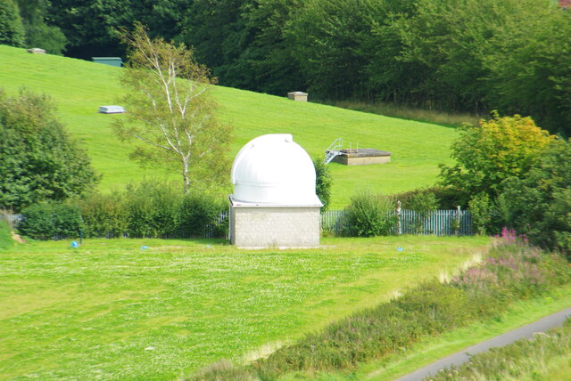
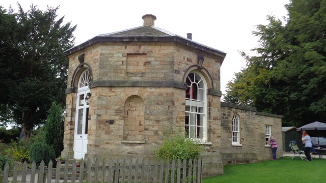
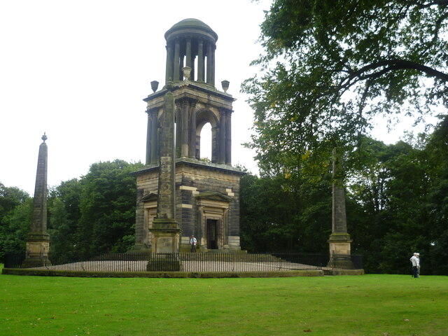
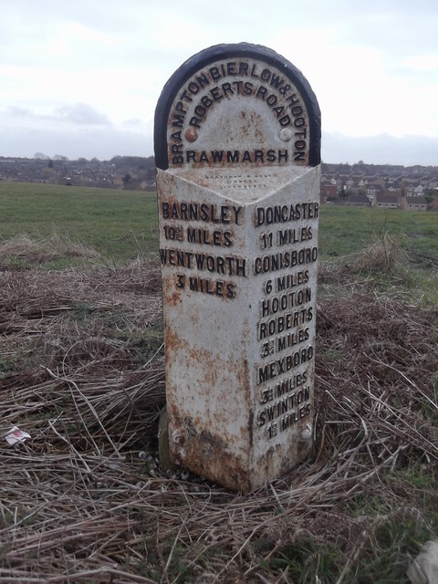
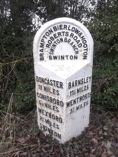
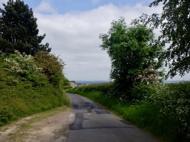
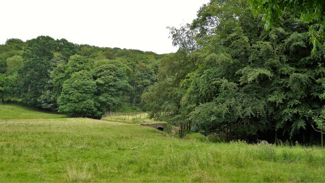
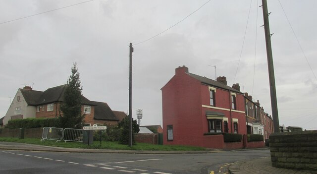
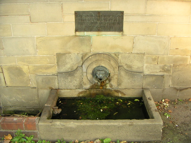
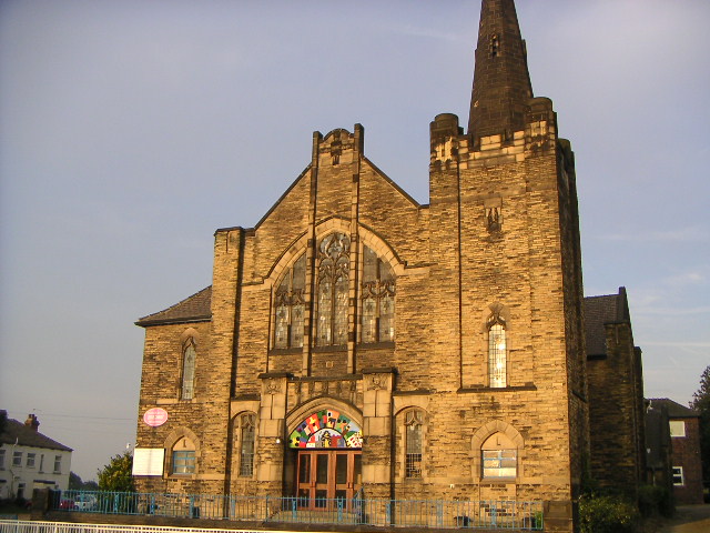
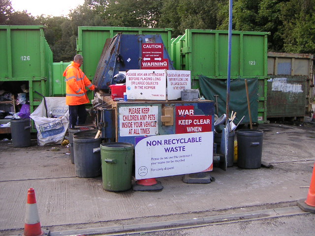
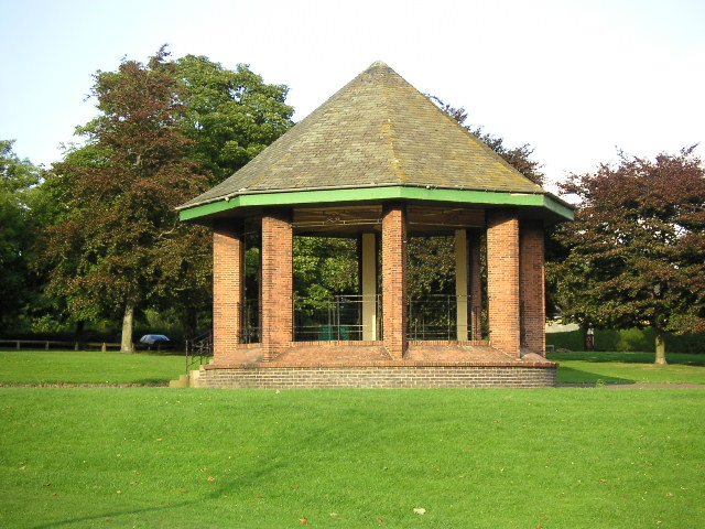
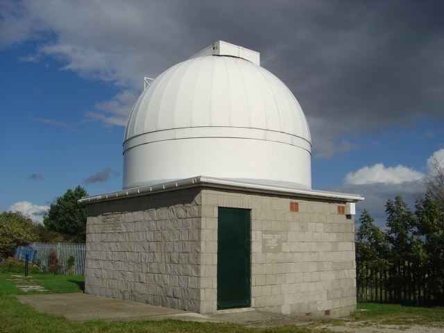
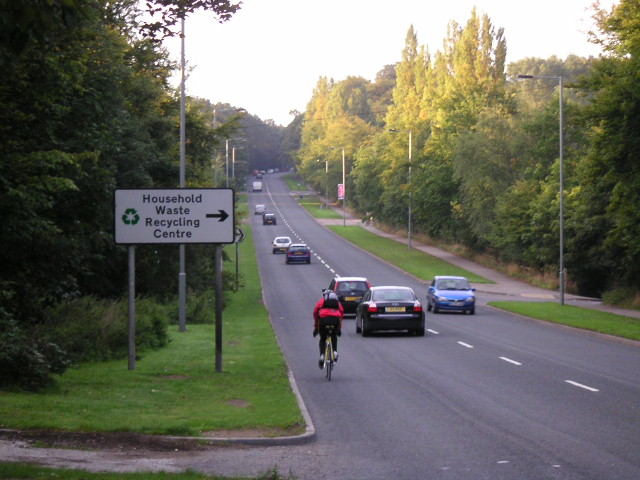
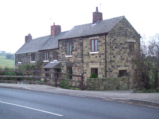
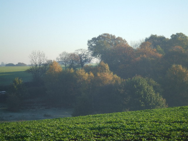
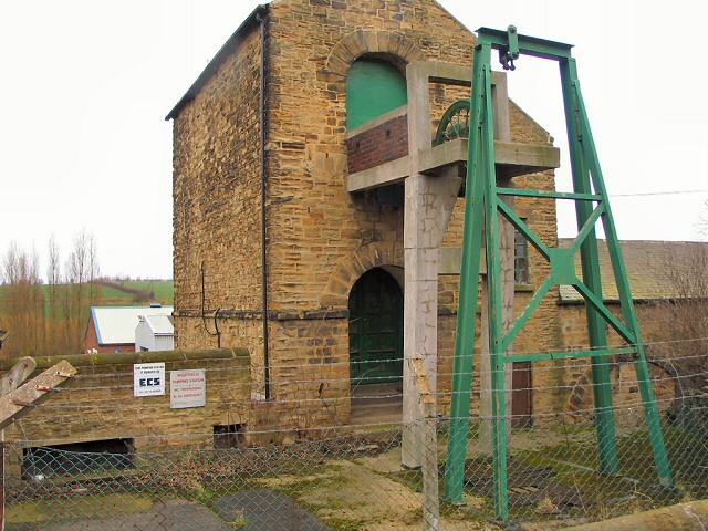
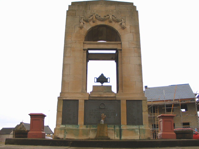
Haugh, Upper Images
Images are sourced within 2km of 53.47117/-1.361951 or Grid Reference SK4297. Thanks to Geograph Open Source API. All images are credited.
Haugh, Upper is located at Grid Ref: SK4297 (Lat: 53.47117, Lng: -1.361951)
Division: West Riding
Unitary Authority: Rotherham
Police Authority: South Yorkshire
What 3 Words
///mice.pitch.adjust. Near Rawmarsh, South Yorkshire
Nearby Locations
Related Wikis

New Stubbin Colliery
New Stubbin Colliery was a coal mine situated in the township of Rawmarsh near Rotherham, South Yorkshire, England. The colliery was situated in a deep...
Warren House Colliery
Warren House Colliery was a coal mine situated to the north of Rawmarsh, near Rotherham, South Yorkshire, England. The colliery within lands owned by Earl...

Wentworth (UK Parliament constituency)
Wentworth was a parliamentary constituency in South Yorkshire. Originally created in 1918 and was abolished in 1950, the name was revived when a new constituency...
Rawmarsh Community School
Rawmarsh Community School is a coeducational secondary school with academy status located in Rotherham, South Yorkshire, England. == Ofsted inspections... ==
Nearby Amenities
Located within 500m of 53.47117,-1.361951Have you been to Haugh, Upper?
Leave your review of Haugh, Upper below (or comments, questions and feedback).