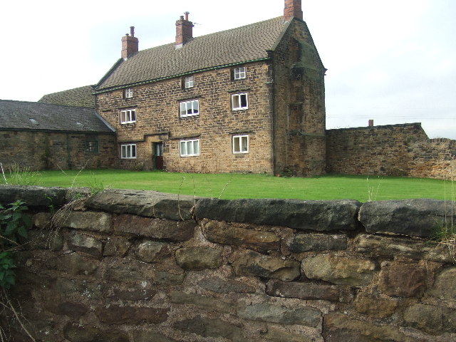
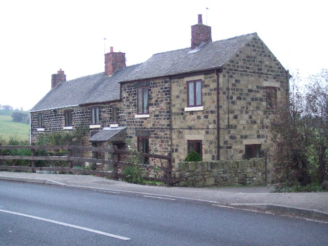
Low Stubbin
Settlement in Yorkshire
England
Low Stubbin
Low Stubbin is a small village located in the county of Yorkshire, England. Situated in the metropolitan borough of Barnsley, it lies approximately 10 miles north of the city center. With a population of around 500 residents, Low Stubbin is characterized by its peaceful and rural atmosphere.
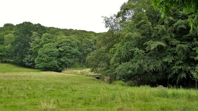
The village is surrounded by picturesque countryside, offering stunning views of rolling hills and lush green fields. It is nestled within the heart of the Dearne Valley, providing ample opportunities for outdoor activities such as hiking, cycling, and birdwatching. The nearby River Dearne adds to the village's charm, attracting anglers and nature enthusiasts alike.
Low Stubbin boasts a rich history, with evidence of settlement dating back to the Roman period. In more recent times, it has become known for its close-knit community and friendly locals. The village features a traditional parish church, St. Mary's, which serves as a focal point for religious and community gatherings.
Despite its small size, Low Stubbin benefits from good transportation links. The A6195 road runs close by, connecting the village to neighboring towns and cities. The nearby train station of Barnsley provides further access to the wider region.
In terms of amenities, Low Stubbin has a primary school, providing education for local children. However, for more extensive shopping and entertainment options, residents often travel to nearby towns.
Overall, Low Stubbin offers a tranquil and idyllic setting, making it an attractive place to live for those seeking a peaceful rural lifestyle in the beautiful Yorkshire countryside.
If you have any feedback on the listing, please let us know in the comments section below.
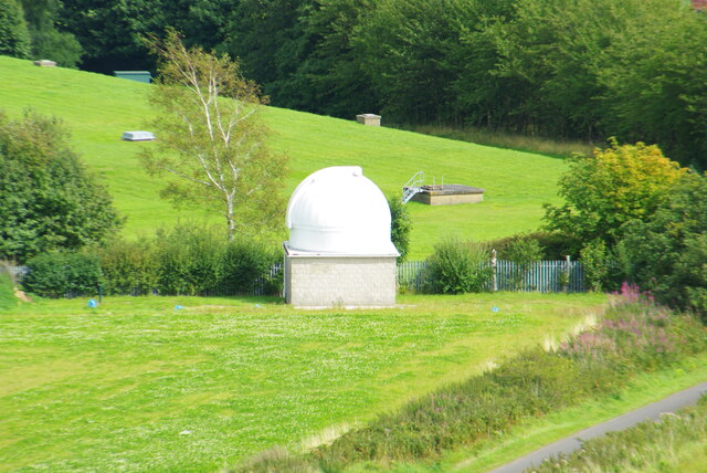
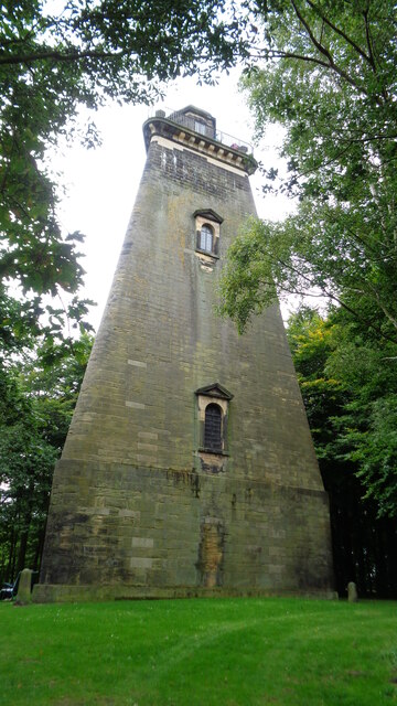
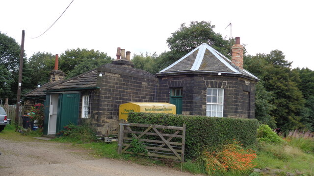
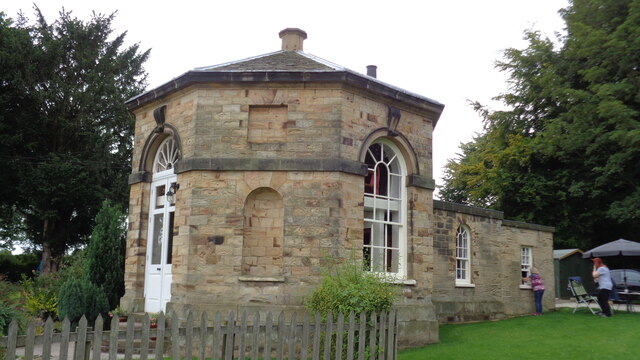
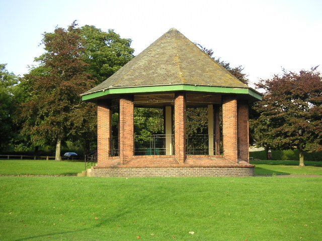
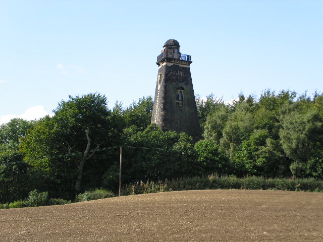
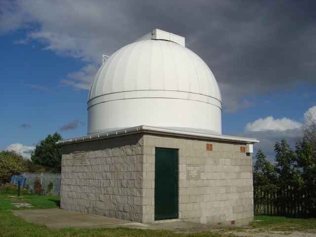
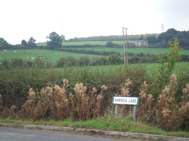
Low Stubbin Images
Images are sourced within 2km of 53.475084/-1.3675653 or Grid Reference SK4297. Thanks to Geograph Open Source API. All images are credited.
Low Stubbin is located at Grid Ref: SK4297 (Lat: 53.475084, Lng: -1.3675653)
Division: West Riding
Unitary Authority: Rotherham
Police Authority: South Yorkshire
What 3 Words
///silly.chip.across. Near Rawmarsh, South Yorkshire
Nearby Locations
Related Wikis

Wentworth (UK Parliament constituency)
Wentworth was a parliamentary constituency in South Yorkshire. Originally created in 1918 and was abolished in 1950, the name was revived when a new constituency...

Warren House Colliery
Warren House Colliery was a coal mine situated to the north of Rawmarsh, near Rotherham, South Yorkshire, England. The colliery within lands owned by Earl...

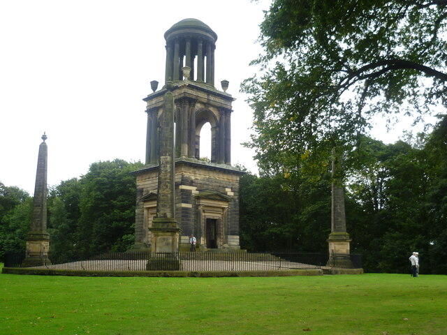
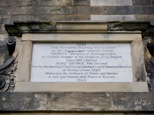
The Rockingham Mausoleum
The Rockingham Mausoleum, Wentworth, near Rotherham, South Yorkshire, England is a cenotaph commemorating Charles Watson-Wentworth, 2nd Marquess of Rockingham...
New Stubbin Colliery
New Stubbin Colliery was a coal mine situated in the township of Rawmarsh near Rotherham, South Yorkshire, England. The colliery was situated in a deep...

Abdy
Abdy is a hamlet in South Yorkshire, England. Abdy is located about 2 miles (3.2 km) west of Swinton. The earliest reference to Abdy is in the 13th century...
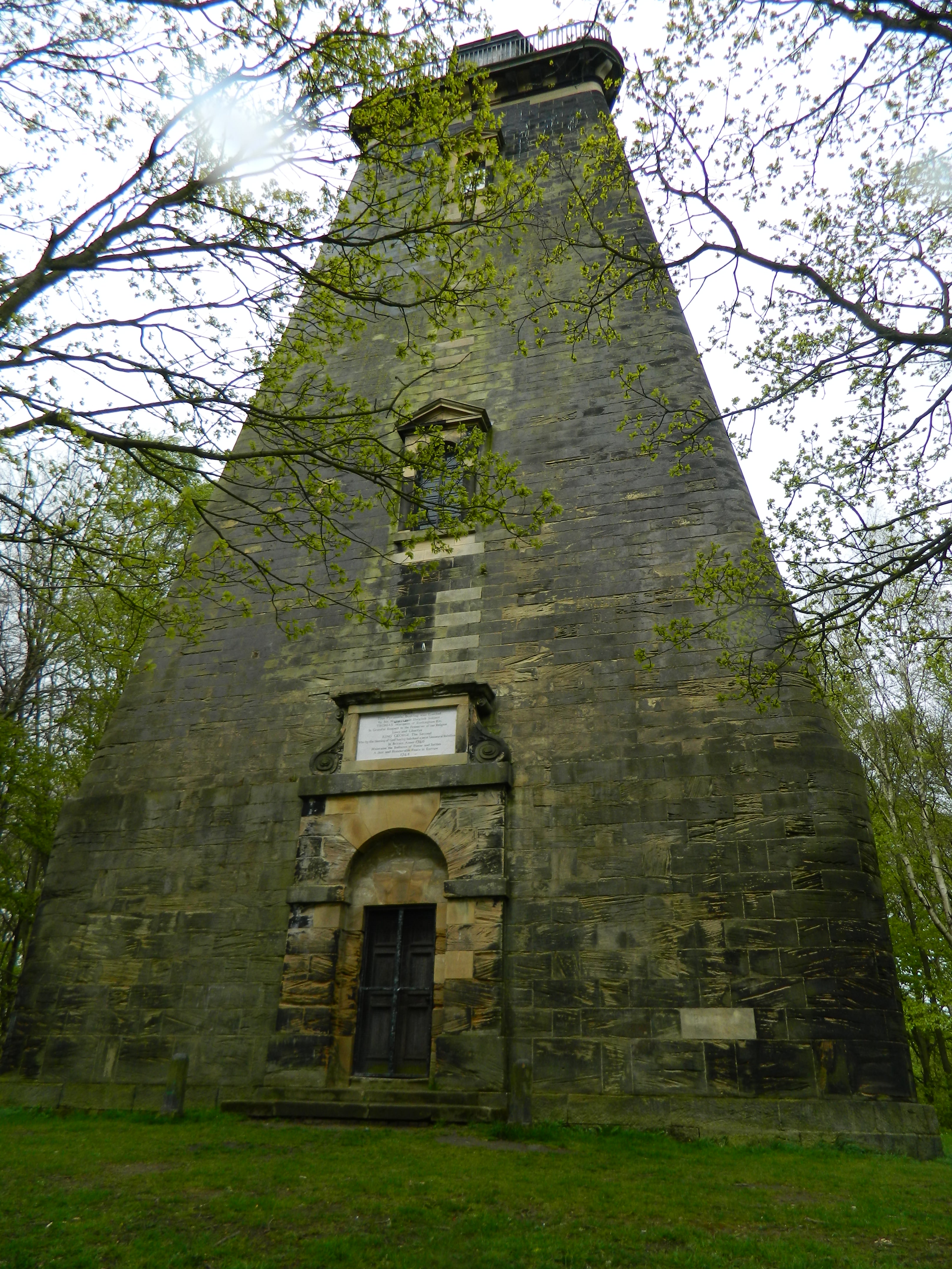
Hoober Stand
Hoober Stand is a 30-metre-high (98 ft) tower and Grade II* listed building on a ridge in Wentworth, South Yorkshire in northern England. It was designed...
Rawmarsh Community School
Rawmarsh Community School is a coeducational secondary school with academy status located in Rotherham, South Yorkshire, England. == Ofsted inspections... ==
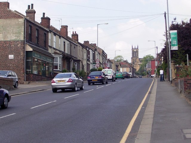
Rawmarsh
Rawmarsh (locally ) is a large village in the Metropolitan Borough of Rotherham, in South Yorkshire, England. Historically within the West Riding of Yorkshire...
Related Videos

Beyond the Boundaries - #11 - "One Thousand Men are Walking": Armistice Day
Beyond the Boundaries "One Thousand Men are Walking" (Joshua Dyer, 2019) Parkgate and Rawmarsh War Memorial ...

Farrars Bank holiday Fair | Rotherham Wath 28/04/2023
what a fantastic evening I had today at Farrars Bank holiday Funfair at Wath Rotherham Barnsley Road. There was a really great ...

William Percivals Waltzer onride (Walkingthewaltzer) @ Farrars Bank holiday Fair 28/04/2023
Onride Footage of William Percivals Waltzer Walking the waltzer and a thank you to William Percival and the gaff lad for the onride ...

Popcanto - Easter Holiday Club 2022
Join this Easter on our Popcanto themed holiday club packed with fun and engaging outdoor activities! PLUS - Fully funded ...
Nearby Amenities
Located within 500m of 53.475084,-1.3675653Have you been to Low Stubbin?
Leave your review of Low Stubbin below (or comments, questions and feedback).