Bowers Gifford

Settlement in Essex Basildon

England

Bowers Gifford

Church Road towards Bowers Hall
Church Road towards Bowers Hall Credit: JThomas

Bowers Gifford is a village located in the county of Essex, England. Situated approximately 30 miles east of London, it falls within the borough of Basildon. The village is bordered by Pitsea to the west and Basildon to the north.

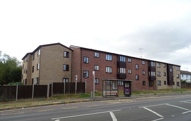
With a population of around 5,000 residents, Bowers Gifford maintains a close-knit community atmosphere. The village is primarily residential, featuring a mix of modern housing developments and historic properties. The architecture in Bowers Gifford is diverse, ranging from traditional cottages to more contemporary designs.

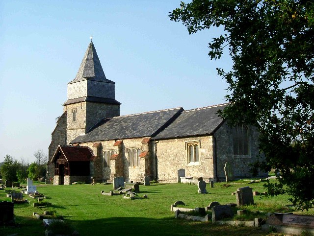
The village is known for its picturesque surroundings, with scenic views of the nearby Thames Estuary. The area offers a range of outdoor recreational opportunities, including nature walks and cycling routes. Bowers Marsh, a nearby nature reserve, attracts birdwatchers and wildlife enthusiasts.

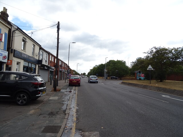
Although Bowers Gifford is a relatively small village, it benefits from a range of local amenities. These include a primary school, a village hall, and a few local shops and pubs. For more extensive shopping and entertainment options, residents can easily access the nearby towns of Basildon and Southend-on-Sea.

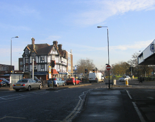
Transport links in Bowers Gifford are convenient, with easy access to major road networks such as the A13 and A127. The village is also served by regular bus services, connecting residents to surrounding areas.

Overall, Bowers Gifford offers a tranquil village lifestyle with convenient access to nearby urban centers, making it an attractive place to live for those seeking a balance between rural and urban living.

If you have any feedback on the listing, please let us know in the comments section below.

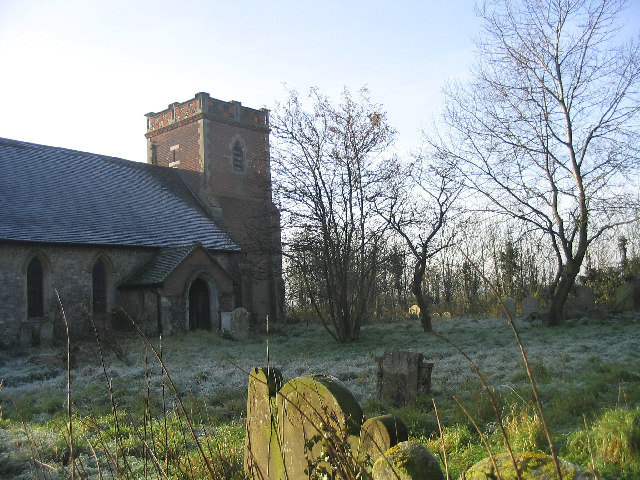
Bowers Gifford Images

Images are sourced within 2km of 51.56686/0.521434 or Grid Reference TQ7488. Thanks to Geograph Open Source API. All images are credited.

Church Road towards Bowers Hall
Grazing near Basildon
Chestnut Court Flats, Basildon.
Chestnut Court
Flats, Basildon.
Railway bridge over High Road (B1464)
TSB Bank, Pitsea
TSB Bank, Pitsea
Aldi supermarket, Pitsea, Basildon
B1464, Pitsea, Basildon
Post Office and shop, Pitsea, Basildon
Houses on London Road, Basildon
London Road (B1464), Basildon Towards Southend.
London Road (B1464), Basildon
Towards Southend.
The Gun Pub, Bowers Gifford On London Road.
The Gun Pub, Bowers Gifford
On London Road.
Grassland, Bowers Gifford Off the B1464.
Grassland, Bowers Gifford
Off the B1464.
London Road, Bowers Gifford B1464 towards Southend.
London Road, Bowers Gifford
B1464 towards Southend.
Houses on London Road, South Benfleet
Bus stop and shelter on London Road, South Benfleet
A13, Bowers Gifford From the bridge on London Road.
A13, Bowers Gifford
From the bridge on London Road.
Siding at Pitsea Railway Station
Bowers Gifford, St Margaret
Show me another place!

Bowers Gifford is located at Grid Ref: TQ7488 (Lat: 51.56686, Lng: 0.521434)

Administrative County: Essex

District: Basildon

Police Authority: Essex

What 3 Words

///rates.rocket.goal. Near Pitsea, Essex

Nearby Locations

Bowers Gifford Eversley

Related Wikis

Bowers Gifford

Bowers Gifford is a small village and former civil parish, now in the parish of Bowers Gifford and North Benfleet, in the Basildon district, in Essex,...

Bowers & Pitsea F.C.

Bowers & Pitsea Football Club is a football club based in Pitsea, Essex, England. The club are currently members of the Isthmian League North Division...

Hashtag United F.C.

Hashtag United Football Club is a semi-professional football club based in Essex, England. They are currently members of the Isthmian League Premier Division...

Bowers Gifford and North Benfleet

Bowers Gifford and North Benfleet is a civil parish in the Basildon district, located within the county of Essex, England. The parish includes the villages...

Chalvedon School

Chalvedon School and 6th Form College was a Specialist Technology College in Pitsea, Essex, England. It was a comprehensive school educating pupils aged...

Pitsea

Pitsea is a town and former civil parish in the Borough of Basildon in south Essex, England. It comprises five sub-districts: Eversley, Northlands Park...

North Benfleet

North Benfleet is a village and former civil parish, now in the parish of Bowers Gifford and North Benfleet, in the Basildon district of Essex, England...

Pitsea railway station

Pitsea railway station is on the London, Tilbury and Southend line, serving the small town of Pitsea in the borough of Basildon, Essex. It is situated...

Nearby Amenities

Located within 500m of 51.56686,0.521434
Mini Roundabout
Direction: clockwise
Lat/Long: 51.5660696/0.5223031
Bus Stop
Elham Drive
Naptan AtcoCode: 150036034012
Naptan Bearing: SW
Naptan CommonName: Elham Drive
Naptan Crossing: Elham Drive
Naptan Indicator: Adj
Naptan Landmark: Elham Drive
Naptan NaptanCode: esxdpawd
Naptan Street: Halstow Way
Naptan Verified: no
Public Transport: platform
Source: naptan_import
Lat/Long: 51.5678892/0.5143926
Bus Stop
Bowers Close
Bus: yes
Naptan AtcoCode: 1500PITS1
Naptan Bearing: W
Naptan CommonName: The Bull
Naptan Crossing: Eversley Road
Naptan Indicator: Opp
Naptan Landmark: The Bull
Naptan NaptanCode: esxgwdjt
Naptan Street: London Road
Naptan Verified: no
Public Transport: platform
Source: naptan_import
Lat/Long: 51.5658994/0.5181948
Bus Stop
Bowers Close
Bus: yes
Naptan AtcoCode: 1500PITS2
Naptan Bearing: E
Naptan CommonName: The Bull
Naptan Crossing: Eversley Road
Naptan Indicator: o/s
Naptan Landmark: The Bull
Naptan NaptanCode: esxgwdjw
Naptan Street: London Road
Naptan Verified: no
Public Transport: platform
Source: naptan_import
Lat/Long: 51.5660699/0.518873
Bus Stop
Church Road
Bus: yes
Naptan AtcoCode: 1500PITS3
Naptan Bearing: E
Naptan CommonName: Church Road
Naptan Crossing: Church Road
Naptan Indicator: Opp
Naptan Landmark: Church Road
Naptan NaptanCode: esxgwdma
Naptan Street: Ilfracombe Avenue
Naptan Verified: no
Public Transport: platform
Source: naptan_import
Lat/Long: 51.5661011/0.523948
Bus Stop
Church Road
Bus: yes
Naptan AtcoCode: 1500PITS4
Naptan Bearing: W
Naptan CommonName: Church Road
Naptan Crossing: Church Road
Naptan Indicator: Adj
Naptan Landmark: Church Road
Naptan NaptanCode: esxgwdmd
Naptan Street: London Road
Naptan Verified: no
Public Transport: platform
Source: naptan_import
Lat/Long: 51.5659784/0.5233784
Bus Stop
St Margaret's School
Bus: yes
Naptan AtcoCode: 1500PITS5
Naptan Bearing: E
Naptan CommonName: School
Naptan Indicator: Opp
Naptan Landmark: School
Naptan NaptanCode: esxgwdmg
Naptan Street: London Road
Naptan Verified: no
Public Transport: platform
Source: naptan_import
Lat/Long: 51.5660198/0.5268873
Bus Stop
St Margaret's School
Bus: yes
Naptan AtcoCode: 1500PITS6
Naptan Bearing: W
Naptan CommonName: School
Naptan Indicator: o/s
Naptan Landmark: School
Naptan NaptanCode: esxgwdmj
Naptan Street: London Road
Naptan Verified: no
Public Transport: platform
Source: naptan_import
Lat/Long: 51.5659804/0.5274624
Crematorium
Pitsea Crematorium
Wikidata: Q64416379
Lat/Long: 51.5627334/0.5235827
Crossing
Crossing: unmarked
Crossing Markings: no
Lat/Long: 51.5660085/0.5167322
Generator Method: photovoltaic
Generator Output Electricity: yes
Generator Source: solar
Generator Type: solar_photovoltaic_panel
Location: roof
Power: generator
Lat/Long: 51.5685559/0.5149788
Generator Method: photovoltaic
Generator Output Electricity: yes
Generator Source: solar
Generator Type: solar_photovoltaic_panel
Location: roof
Power: generator
Lat/Long: 51.5685526/0.5150405
Generator Method: photovoltaic
Generator Output Electricity: yes
Generator Source: solar
Generator Type: solar_photovoltaic_panel
Location: roof
Power: generator
Lat/Long: 51.5672238/0.5160007
Generator Method: photovoltaic
Generator Output Electricity: yes
Generator Source: solar
Generator Type: solar_photovoltaic_panel
Location: roof
Power: generator
Lat/Long: 51.5672263/0.5160369
Generator Method: photovoltaic
Generator Output Electricity: yes
Generator Source: solar
Generator Type: solar_photovoltaic_panel
Location: roof
Power: generator
Lat/Long: 51.567318/0.5165693
Generator Method: photovoltaic
Generator Output Electricity: yes
Generator Source: solar
Generator Type: solar_photovoltaic_panel
Location: roof
Power: generator
Lat/Long: 51.5673155/0.5166605
Generator Method: photovoltaic
Generator Output Electricity: yes
Generator Source: solar
Generator Type: solar_photovoltaic_panel
Location: roof
Power: generator
Lat/Long: 51.5672322/0.5162877
Generator Method: photovoltaic
Generator Output Electricity: yes
Generator Source: solar
Generator Type: solar_photovoltaic_panel
Location: roof
Power: generator
Lat/Long: 51.5672563/0.5163306
Crossing
Lat/Long: 51.5630075/0.5224774
Crossing
Crossing: unmarked
Crossing Markings: no
Lat/Long: 51.5660317/0.5202561
Generator Method: photovoltaic
Generator Output Electricity: yes
Generator Source: solar
Generator Type: solar_photovoltaic_panel
Location: roof
Power: generator
Lat/Long: 51.5678115/0.5164231
Generator Method: photovoltaic
Generator Output Electricity: yes
Generator Source: solar
Generator Type: solar_photovoltaic_panel
Location: roof
Power: generator
Lat/Long: 51.5678082/0.5164661
Generator Method: photovoltaic
Generator Output Electricity: yes
Generator Source: solar
Generator Type: solar_photovoltaic_panel
Location: roof
Power: generator
Lat/Long: 51.5681241/0.5155139
Generator Method: photovoltaic
Generator Output Electricity: yes
Generator Source: solar
Generator Type: solar_photovoltaic_panel
Location: roof
Power: generator
Lat/Long: 51.5681341/0.5154468
Generator Method: photovoltaic
Generator Output Electricity: yes
Generator Source: solar
Generator Type: solar_photovoltaic_panel
Location: roof
Power: generator
Lat/Long: 51.5678674/0.5145966
Generator Method: photovoltaic
Generator Output Electricity: yes
Generator Source: solar
Generator Type: solar_photovoltaic_panel
Location: roof
Power: generator
Lat/Long: 51.5678699/0.5145603
Generator Method: photovoltaic
Generator Output Electricity: yes
Generator Source: solar
Generator Type: solar_photovoltaic_panel
Location: roof
Power: generator
Lat/Long: 51.5678274/0.5153972
Generator Method: photovoltaic
Generator Output Electricity: yes
Generator Source: solar
Generator Type: solar_photovoltaic_panel
Location: roof
Power: generator
Lat/Long: 51.5679282/0.5160396
Generator Method: photovoltaic
Generator Output Electricity: yes
Generator Source: solar
Generator Type: solar_photovoltaic_panel
Location: roof
Power: generator
Lat/Long: 51.5679282/0.5159739
Generator Method: photovoltaic
Generator Output Electricity: yes
Generator Source: solar
Generator Type: solar_photovoltaic_panel
Location: roof
Power: generator
Lat/Long: 51.5679791/0.5157298
Generator Method: photovoltaic
Generator Output Electricity: yes
Generator Source: solar
Generator Type: solar_photovoltaic_panel
Location: roof
Power: generator
Lat/Long: 51.5680724/0.5148634
Generator Method: photovoltaic
Generator Output Electricity: yes
Generator Source: solar
Generator Type: solar_photovoltaic_panel
Location: roof
Power: generator
Lat/Long: 51.5683009/0.5150995
Generator Method: photovoltaic
Generator Output Electricity: yes
Generator Source: solar
Generator Type: solar_photovoltaic_panel
Location: roof
Power: generator
Lat/Long: 51.5686743/0.5155581
Generator Method: photovoltaic
Generator Output Electricity: yes
Generator Source: solar
Generator Type: solar_photovoltaic_panel
Location: roof
Power: generator
Lat/Long: 51.5683392/0.5166632
Generator Method: photovoltaic
Generator Output Electricity: yes
Generator Source: solar
Generator Type: solar_photovoltaic_panel
Location: roof
Power: generator
Lat/Long: 51.5688994/0.5166391
Crossing
Crossing: unmarked
Crossing Island: yes
Crossing Markings: no
Tactile Paving: yes
Lat/Long: 51.5659195/0.5165089
Crossing
Crossing: unmarked
Crossing Markings: no
Lat/Long: 51.5660855/0.5185841
Crossing
Crossing: unmarked
Crossing Markings: no
Lat/Long: 51.565922/0.5244804
Crossing
Crossing: traffic_signals
Lat/Long: 51.5659432/0.5263211
Traffic Signals
Traffic Signals: signal
Traffic Signals Direction: forward
Lat/Long: 51.5659406/0.5262678
Traffic Signals
Traffic Signals: signal
Traffic Signals Direction: backward
Lat/Long: 51.565946/0.5263764
Fixme: entrance to meadow?
Lat/Long: 51.5682168/0.523569
Crossing
Crossing: unmarked
Crossing Markings: no
Lat/Long: 51.5682361/0.5148271
Crossing
Crossing: unmarked
Crossing Markings: no
Lat/Long: 51.5671513/0.5169507
The data included in this document is from www.openstreetmap.org. The data is made available under ODbL.

Have you been to Bowers Gifford?

Leave your review of Bowers Gifford below (or comments, questions and feedback).