Bower Hinton

Settlement in Somerset South Somerset

England

Bower Hinton

Garage, Stapleton Road £1.46/l for diesel. April 2011.
Garage, Stapleton Road Credit: Richard Webb

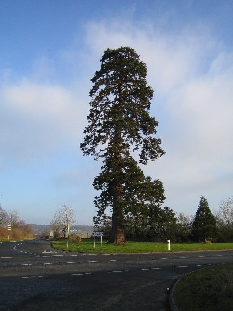
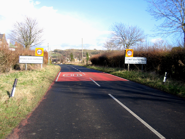
Bower Hinton is a small village located in the Somerset County of England. It lies approximately 4 miles to the west of the town of Martock and is situated in a rural and picturesque area. The village is surrounded by rolling hills and fields, offering stunning views of the countryside.

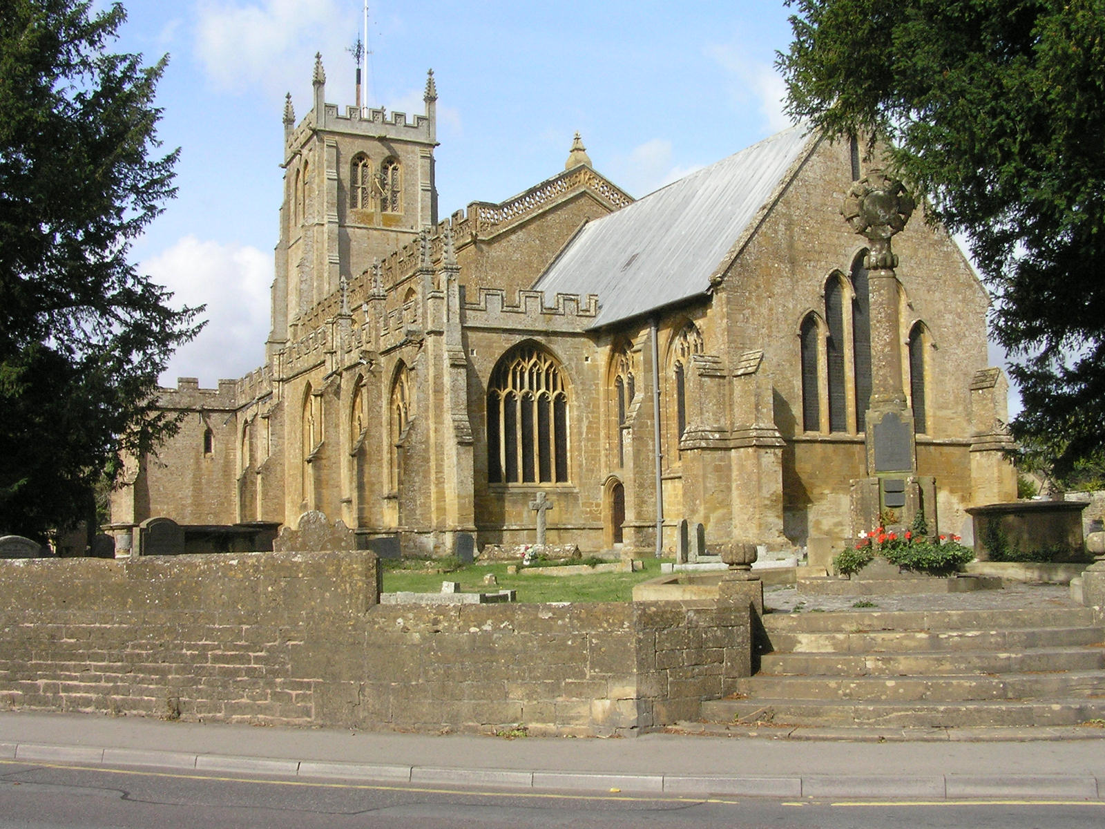
Bower Hinton has a long history, with evidence of human settlement dating back to the Bronze Age. The village itself is known for its charming thatched cottages and traditional architecture, which adds to its quaint and idyllic atmosphere. The local church, St. Peter and St. Paul, is a prominent feature in the village, showcasing beautiful medieval stonework and stained glass windows.

Despite its small size, Bower Hinton has a strong sense of community. The village has a local pub, The Cat Head Inn, which serves as a gathering place for residents and visitors alike. It provides a warm and friendly atmosphere, offering traditional pub food and a selection of beverages.

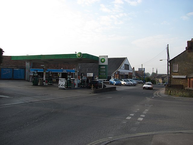
The surrounding area offers plenty of opportunities for outdoor activities, with numerous footpaths and bridleways that allow residents and visitors to explore the stunning Somerset countryside. The village is also conveniently located near several larger towns, such as Yeovil and Taunton, providing easy access to a range of amenities and services.

Overall, Bower Hinton is a charming and peaceful village that offers a tranquil escape from the hustle and bustle of city life. Its rich history, beautiful surroundings, and strong community spirit make it an appealing place to live or visit.

If you have any feedback on the listing, please let us know in the comments section below.

Bower Hinton Images

Images are sourced within 2km of 50.959349/-2.772419 or Grid Reference ST4518. Thanks to Geograph Open Source API. All images are credited.

Garage, Stapleton Road £1.46/l for diesel. April 2011.
Garage, Stapleton Road
£1.46/l for diesel. April 2011.
The Railway Public house undergoing renovation, it is situated opposite the site of Martock railway station.
The Railway
Public house undergoing renovation, it is situated opposite the site of Martock railway station.
Martock fire station Martock fire station, Coat Road, Martock, Somerset.
Martock fire station
Martock fire station, Coat Road, Martock, Somerset.
Firefighters Training At Martock fire station on Coat Road.
Firefighters Training
At Martock fire station on Coat Road.
Martock The village of Martock showing the Market House built in the 1750's, the White Hart hotel, Martock Pinnacle and All Saints Church in the background.
Martock
The village of Martock showing the Market House built in the 1750's, the White Hart hotel, Martock Pinnacle and All Saints Church in the background.
Gawbridge The bridge over the River Parrett at Gawbridge, between Coat and East Lambrook.
Gawbridge
The bridge over the River Parrett at Gawbridge, between Coat and East Lambrook.
Stoke-sub-Hamdon An evening view of Ham Hill from North St in Stoke sub Hamdon - note the old sign with alternative name for the village
Stoke-sub-Hamdon
An evening view of Ham Hill from North St in Stoke sub Hamdon - note the old sign with alternative name for the village
Martock Brooks Garage, on the outskirts of Martock.
Martock
Brooks Garage, on the outskirts of Martock.
Martock: All Saints church The present structure is largely 15th century although the site is older. There is evidence for 13th century work and the church is thought to stand on or near the site of a Saxon minster
Martock: All Saints church
The present structure is largely 15th century although the site is older. There is evidence for 13th century work and the church is thought to stand on or near the site of a Saxon minster
Martock: Parrett Works A mid-19th century development on an old snuff mill site, probably encouraged by the opening of the nearby branch railway from Taunton to Yeovil in October 1853. The works were originally water-powered – on a short leat from the river Parrett –  and two waterwheels survived here in 1996. Steam engines, water wheels and threshing machines were manufactured in the period 1857-1868. There were also rope walks and flax mills. From 1875 or earlier millwrights and brassfounders occupied part of the site with a rope and twine manufacturer utilising the rest of the facilities
Martock: Parrett Works
A mid-19th century development on an old snuff mill site, probably encouraged by the opening of the nearby branch railway from Taunton to Yeovil in October 1853. The works were originally water-powered – on a short leat from the river Parrett – and two waterwheels survived here in 1996. Steam engines, water wheels and threshing machines were manufactured in the period 1857-1868. There were also rope walks and flax mills. From 1875 or earlier millwrights and brassfounders occupied part of the site with a rope and twine manufacturer utilising the rest of the facilities
Holy Tree Cross The Holy Tree stands at the cross roads on the old main road just outside Stoke-Sub-Hamdon, now bypassed by the A303. Branches on the far side of trunk probably fall within adjacent grid square.
Holy Tree Cross
The Holy Tree stands at the cross roads on the old main road just outside Stoke-Sub-Hamdon, now bypassed by the A303. Branches on the far side of trunk probably fall within adjacent grid square.
Entrance to Stoke-sub-Hamdon village, Somerset – view E towards West End.
Entrance to Stoke-sub-Hamdon village, Somerset
– view E towards West End.
Blackcurrant fields in winter, Stoke-sub-Hamdon, Somerset – view N over the Small Moor Brook valley.
Blackcurrant fields in winter, Stoke-sub-Hamdon, Somerset
– view N over the Small Moor Brook valley.
Castle Reclamation, Parrett Works This company will supply furniture, fireplaces and flagstones for your castle. The yard stands near to the old Parrett Works Mill, a water mill on the River Parrett on part of a very rural industrial estate.
Castle Reclamation, Parrett Works
This company will supply furniture, fireplaces and flagstones for your castle. The yard stands near to the old Parrett Works Mill, a water mill on the River Parrett on part of a very rural industrial estate.
Parrett Works near Martock The plaque on the building reads "Historic Martock. Parrett Works 19th C. Built in 1854 on the site of old Cary's Mill, mentioned in the Doomsday [sic] Book, this was originally a flour mill, then a flax mill and canvas and rope makers, later manufacturing engineering products. More than 300 persons were employed here at its prime. Martock Parish Council"
Picture taken from Carey's Mill Bridge (spelling as on OS map) showing mill leat rejoining the main stream of the River Parrett having run underground for perhaps 200 metres. From the noise coming from the tunnel (at 8.51 pm) some power may still be taken from the stream.
Parrett Works near Martock
The plaque on the building reads "Historic Martock. Parrett Works 19th C. Built in 1854 on the site of old Cary's Mill, mentioned in the Doomsday [sic] Book, this was originally a flour mill, then a flax mill and canvas and rope makers, later manufacturing engineering products. More than 300 persons were employed here at its prime. Martock Parish Council" Picture taken from Carey's Mill Bridge (spelling as on OS map) showing mill leat rejoining the main stream of the River Parrett having run underground for perhaps 200 metres. From the noise coming from the tunnel (at 8.51 pm) some power may still be taken from the stream.
Stone Squeeze by Carey's Mill Bridge Looking west along the bank of the River Parrett, <a href="https://www.geograph.org.uk/photo/195212">ST4418 : Parrett Works near Martock</a> is behind the photographer.
Stone Squeeze by Carey's Mill Bridge
Looking west along the bank of the River Parrett, ST4418 : Parrett Works near Martock is behind the photographer.
Young cattle at Parrett Works Seen from Southfork camp site.
Young cattle at Parrett Works
Seen from Southfork camp site.
Decorative plaque, Parrett Works This is on the bridge wall next to <a href="https://www.geograph.org.uk/photo/195935">ST4418 : Stone Squeeze by Carey's Mill Bridge</a> and, I think, illustrates the history of the mills on this site. Clockwise from the top it shows flax, an apple (not sure how that relates to the mill - perhaps there was a water-powered cider press), wheat, electricity(?), hemp (rope making) and tobacco (snuff). All surrounded by an internal ring gear.
Decorative plaque, Parrett Works
This is on the bridge wall next to ST4418 : Stone Squeeze by Carey's Mill Bridge and, I think, illustrates the history of the mills on this site. Clockwise from the top it shows flax, an apple (not sure how that relates to the mill - perhaps there was a water-powered cider press), wheat, electricity(?), hemp (rope making) and tobacco (snuff). All surrounded by an internal ring gear.
Show me another place!

Bower Hinton is located at Grid Ref: ST4518 (Lat: 50.959349, Lng: -2.772419)

Administrative County: Somerset

District: South Somerset

Police Authority: Avon and Somerset

What 3 Words

///outpost.node.universal. Near Martock, Somerset

Related Wikis

Treasurer's House, Martock

The Treasurer's House is a National Trust-owned property in Martock, in the English county of Somerset. It has been designated as a Grade I listed building...

Church of All Saints, Martock

The Church of All Saints in Martock, Somerset, England dates from the 13th century and has been designated as a Grade I listed building. The church was...

Market House, Martock

The Market House, also known as Martock Town Hall, is a municipal building in Church Street in Martock, Somerset, England. The building, which is the meeting...

Martock

Martock is a large village and civil parish in Somerset, England, situated on the edge of the Somerset Levels 7 miles (11.3 km) north west of Yeovil in...

Nearby Amenities

Located within 500m of 50.959349,-2.772419
Bower Hinton
Place: hamlet
Lat/Long: 50.958943/-2.7747614
Barrier: kissing_gate
Lat/Long: 50.9619082/-2.7723094
Barrier: stile
Lat/Long: 50.9577968/-2.7657333
Barrier: kissing_gate
Lat/Long: 50.9613801/-2.7703186
Barrier: kissing_gate
Lat/Long: 50.9616537/-2.770429
Barrier: stile
Lat/Long: 50.962099/-2.7723966
Power: pole
Lat/Long: 50.9569415/-2.7670546
Power: pole
Lat/Long: 50.9567834/-2.7683391
Power: pole
Lat/Long: 50.9566138/-2.7697363
Power: pole
Lat/Long: 50.9563662/-2.771734
Power: pole
Lat/Long: 50.956231/-2.7727928
Power: pole
Lat/Long: 50.9559949/-2.7746486
Power: pole
Lat/Long: 50.9559422/-2.7754855
Parking
Lat/Long: 50.962771/-2.7736077
Power: pole
Lat/Long: 50.9584808/-2.7789255
Bus Stop
Bus: yes
Departures Board: timetable
Naptan AtcoCode: 3600SOB20501
Naptan NaptanCode: sotawdmw
Public Transport: platform
Lat/Long: 50.9589487/-2.7746205
Auto Crash Repairs LTD
Addr City: Martock
Addr Housename: Sparrow Works
Addr Housenumber: 19
Addr Postcode: TA12 6LG
Addr Street: Bower Hinton
Opening Hours: Mo-Fr 09:00-17:00
Operator: Glenn Higgins
Payment Cash: yes
Payment Coins: yes
Payment Credit Cards: yes
Payment Debit Cards: yes
Payment Visa: yes
Phone: +44 7923 209986
Service Vehicle Body Repair: yes
Service Vehicle Car Parts: yes
Service Vehicle Car Repair: yes
Service Vehicle Painting: yes
Shop: car_repair
Lat/Long: 50.9580606/-2.773928
The data included in this document is from www.openstreetmap.org. The data is made available under ODbL.

Have you been to Bower Hinton?

Leave your review of Bower Hinton below (or comments, questions and feedback).