Bower Heath

Settlement in Hertfordshire St. Albans

England

Bower Heath

Dalkeith Road c.1930s housing.
Dalkeith Road Credit: Ian Capper

Bower Heath is a small village located in the county of Hertfordshire, England. Situated in the eastern part of the county, it is about 30 miles north of London. Bower Heath falls under the administrative jurisdiction of the local government district of East Hertfordshire.

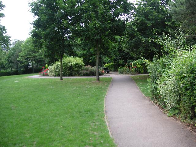
The village is known for its picturesque countryside setting, with rolling hills, lush green fields, and charming rural landscapes. Bower Heath is surrounded by several other small villages and hamlets, creating a close-knit rural community.

The village itself is relatively small, with a population of approximately 500 residents. It retains a traditional atmosphere, with a mix of old cottages and more modern houses. The village also features a local pub, providing a social hub for its residents.

Despite its rural location, Bower Heath benefits from good transportation links. The nearby A10 road provides easy access to London and other major towns in the region. The village is also served by regular bus services, connecting it to nearby towns and villages.

Bower Heath offers a range of recreational activities for its residents and visitors. The surrounding countryside provides opportunities for hiking, cycling, and exploring nature. Nearby attractions include country parks, historical sites, and stately homes.

Overall, Bower Heath offers a peaceful and idyllic setting for those looking to escape the hustle and bustle of city life, while still being within close proximity to urban amenities.

If you have any feedback on the listing, please let us know in the comments section below.
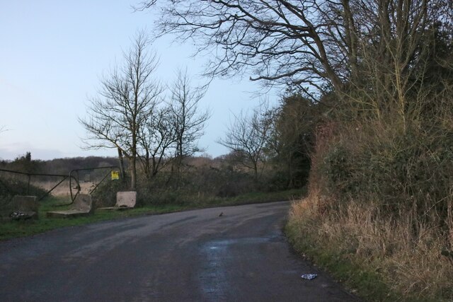
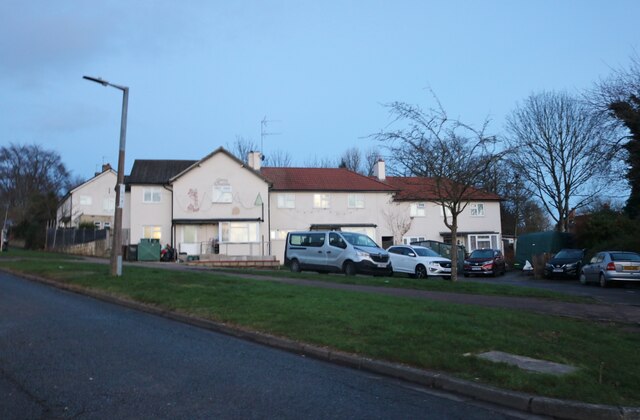
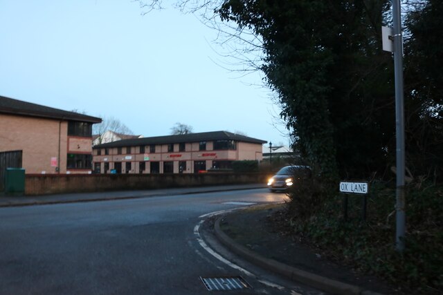
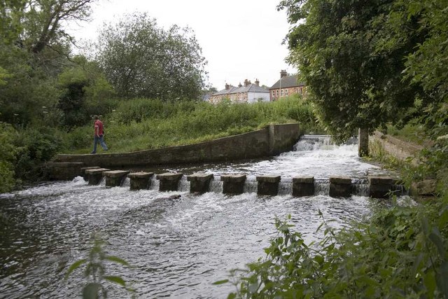
Bower Heath Images

Images are sourced within 2km of 51.830991/-0.3470377 or Grid Reference TL1416. Thanks to Geograph Open Source API. All images are credited.

Dalkeith Road c.1930s housing.
Dalkeith Road
c.1930s housing.
Connaught Road c.1930s housing.
Connaught Road
c.1930s housing.
Junction on Common Lane, Batford
Field in Batford
Field in Batford
Common Lane, Bower Heath
Coldharbour Lane, Harpenden
Batford Road at the junction of Lower Luton Road
Houses on Pickford Hill, Batford
Pickford Hill, Batford
Traffic island on Pickford Hill, Batford
Pickford Hill, Batford
Houses on Finley Road, Batford
Westfield Avenue, Harpenden
Westfield Road, Harpenden The railway is behind the barrier
Westfield Road, Harpenden
The railway is behind the barrier
House on Ox Lane, Harpenden
Coldharbour Lane at the end of Ox Lane
Show me another place!

Bower Heath is located at Grid Ref: TL1416 (Lat: 51.830991, Lng: -0.3470377)

Administrative County: Hertfordshire

District: St. Albans

Police Authority: Hertfordshire

What 3 Words

///spun.jobs.slurs. Near Harpenden, Hertfordshire

Related Wikis

Bower Heath

Bower Heath is a hamlet in Hertfordshire, England. It is in the civil parish of Harpenden

Sir John Lawes School

Sir John Lawes School (also known as SJL) is a mixed state secondary school with academy status in Harpenden, United Kingdom. The school has close links...

Harpenden East railway station

Harpenden East was one of two stations serving the town of Harpenden, the other station which remains open being Harpenden Central. Originally named Harpenden...

St George's School, Harpenden

St George's School, Harpenden (also known as St George's) is a non-selective state day and boarding school in Harpenden, Hertfordshire, England, educating...

Batford Springs

Batford Springs is a 3.5-hectare (8.6-acre) Local Nature Reserve in Harpenden in Hertfordshire. It is owned and managed by Harpenden Town Council, and...

The King's School (Harpenden)

The King's School, Harpenden is a co-educational independent school for pupils aged four to sixteen, located to the north of Harpenden in Hertfordshire...

Batford

Batford is a village in Hertfordshire, England, located on the River Lea on the outskirts of Harpenden. Batford Springs is a local nature reserve alongside...

Lydekker Park

Lydekker Park is a 3-acre (1.2 ha) park in Harpenden, Hertfordshire. The land was formerly part of the garden of Harpenden Lodge, built in 1803, home...

Nearby Amenities

Located within 500m of 51.830991,-0.3470377
Mini Roundabout
Direction: clockwise
Lat/Long: 51.8303212/-0.3479785
Direction: backward
Traffic Calming: chicane
Lat/Long: 51.8288618/-0.3510334
Turning Circle
Lat/Long: 51.8300364/-0.3407579
Crossing
Crossing: unmarked
Lat/Long: 51.8297792/-0.3487775
Traffic Calming: choker
Lat/Long: 51.8297435/-0.3488577
Turning Circle
Lat/Long: 51.8286299/-0.3498119
Bus Stop
Porters Hill
Bench: no
Bin: no
Bus: yes
Naptan AtcoCode: 210021501130
Naptan Bearing: SE
Naptan CommonName: Porters Hill
Naptan Indicator: nr
Naptan NaptanCode: hrtdajdw
Naptan PlusbusZoneRef: HRPNDN
Naptan Street: Lower Luton Road
Naptan Verified: no
Public Transport: platform
Shelter: no
Lat/Long: 51.8272944/-0.3436968
Speed Camera
Lat/Long: 51.8275553/-0.343882
Post Box
Collection Times: Mo-Fr 09:00, Sa 07:00
Post Box Mounting: brick_pillar
Post Box Type: wall
Ref: AL5 45D
Royal Cypher: EIIR
Royal Cypher Wikidata: Q33102113
Lat/Long: 51.8285775/-0.3515456
Bus Stop
The Red Cow PH
Bench: no
Bus: yes
Departures Board: timetable
Naptan AtcoCode: 210021500110
Naptan Bearing: SW
Naptan CommonName: The Red Cow PH
Naptan Crossing: Cold Harbour Lane
Naptan Indicator: opp
Naptan Landmark: Cold Harbour Lane
Naptan NaptanCode: hrtdampa
Naptan PlusbusZoneRef: HRPNDN
Naptan ShortCommonName: NA
Naptan Street: Westfield Road
Naptan Verified: no
Public Transport: platform
Shelter: no
Source: naptan_import
Lat/Long: 51.8305193/-0.347709
Bus Stop
Beeching Close
Bus: yes
Naptan AtcoCode: 210021500120
Naptan Bearing: SW
Naptan CommonName: Beeching Close
Naptan Crossing: Westfield Place
Naptan Indicator: adj
Naptan Landmark: Westfield Place
Naptan NaptanCode: hrtdampd
Naptan PlusbusZoneRef: HRPNDN
Naptan ShortCommonName: NA
Naptan Street: Westfield Road
Naptan Verified: no
Public Transport: platform
Source: naptan_import
Lat/Long: 51.8293946/-0.3495837
Bus Stop
Hyde View Road
Bus: yes
Naptan AtcoCode: 210021500130
Naptan Bearing: SE
Naptan BusStopType: CUS
Naptan CommonName: Hyde View Road
Naptan Indicator: SE-bound
Naptan Landmark: Unknown
Naptan NaptanCode: hrtdampg
Naptan PlusbusZoneRef: HRPNDN
Naptan ShortCommonName: NA
Naptan Street: Hyde View Road
Naptan Verified: no
Public Transport: platform
Shelter: no
Source: naptan_import
Lat/Long: 51.828215/-0.3512178
Bus Stop
Westfield Road
Bench: no
Bin: no
Bus: yes
Naptan AtcoCode: 210021501120
Naptan Bearing: SE
Naptan CommonName: Westfield Road
Naptan Crossing: Bower Heath Lane
Naptan Indicator: opp
Naptan Landmark: Bower Heath Lane
Naptan NaptanCode: hrtdajdt
Naptan PlusbusZoneRef: HRPNDN
Naptan ShortCommonName: NA
Naptan Street: Lower Luton Road
Naptan Verified: no
Public Transport: platform
Shelter: no
Source: naptan_import
Lat/Long: 51.8308942/-0.3467382
Bus Stop
Porters Hill
Bus: yes
Naptan AtcoCode: 210021510600
Naptan Bearing: NW
Naptan CommonName: Porters Hill
Naptan Crossing: opp Lea Industrial Estate
Naptan Indicator: opp
Naptan Landmark: opp Lea Industrial Estate
Naptan NaptanCode: hrtatmad
Naptan PlusbusZoneRef: HRPNDN
Naptan ShortCommonName: NA
Naptan Street: Lower Luton Road
Naptan Verified: no
Public Transport: platform
Source: naptan_import
Lat/Long: 51.8270983/-0.3436834
Bus Stop
Westfield Road
Bus: yes
Naptan AtcoCode: 210021510620
Naptan Bearing: NW
Naptan CommonName: Westfield Road
Naptan Crossing: opp Bower Heath Lane
Naptan Indicator: adj
Naptan Landmark: opp Bower Heath Lane
Naptan NaptanCode: hrtatmag
Naptan PlusbusZoneRef: HRPNDN
Naptan ShortCommonName: NA
Naptan Street: Lower Luton Road
Naptan Verified: no
Public Transport: platform
Source: naptan_import
Lat/Long: 51.8308797/-0.346981
Bus Stop
Beeching Close
Bus: yes
Naptan AtcoCode: 210021511615
Naptan Bearing: NE
Naptan BusStopType: CUS
Naptan CommonName: Beeching Close
Naptan Crossing: Riverford Close
Naptan Indicator: opp
Naptan Landmark: Riverford Close
Naptan NaptanCode: hrtgtgdp
Naptan PlusbusZoneRef: HRPNDN
Naptan ShortCommonName: NA
Naptan Street: Westfield Road
Naptan Verified: no
Public Transport: platform
Shelter: no
Source: naptan_import
Lat/Long: 51.8294813/-0.3496076
Bus Stop
The Red Cow PH
Bus: yes
Departures Board: timetable
Naptan AtcoCode: 210021511620
Naptan Bearing: NE
Naptan CommonName: The Red Cow PH
Naptan Crossing: Lower Luton Road
Naptan Indicator: adj
Naptan Landmark: Lower Luton Road
Naptan NaptanCode: hrtgtgdt
Naptan PlusbusZoneRef: HRPNDN
Naptan ShortCommonName: NA
Naptan Street: Westfield Road
Naptan Verified: no
Public Transport: platform
Source: naptan_import
Lat/Long: 51.8307342/-0.3476126
Entrance: main
Lat/Long: 51.8295626/-0.3535416
Entrance: yes
Lat/Long: 51.8294899/-0.3534056
Barrier: kissing_gate
Lat/Long: 51.8316501/-0.344081
Barrier: kissing_gate
Lat/Long: 51.8316882/-0.3440902
Give Way
Direction: backward
Lat/Long: 51.8295941/-0.3493286
Give Way
Direction: backward
Lat/Long: 51.8299186/-0.3484071
Give Way
Direction: backward
Lat/Long: 51.8296542/-0.3490666
Direction: 150
Generator Method: photovoltaic
Generator Output Electricity: yes
Generator Solar Modules: 6
Generator Source: solar
Generator Type: solar_photovoltaic_panel
Location: roof
Power: generator
Lat/Long: 51.829141/-0.3459433
Traffic Calming: island
Lat/Long: 51.8308721/-0.3468232
Direction: 150
Generator Method: photovoltaic
Generator Output Electricity: yes
Generator Solar Modules: 8
Generator Source: solar
Generator Type: solar_photovoltaic_panel
Location: roof
Power: generator
Lat/Long: 51.8290592/-0.3435972
Direction: 195
Generator Method: photovoltaic
Generator Output Electricity: yes
Generator Solar Modules: 8
Generator Source: solar
Generator Type: solar_photovoltaic_panel
Location: roof
Power: generator
Lat/Long: 51.8289209/-0.3503881
Direction: 145
Generator Method: photovoltaic
Generator Output Electricity: yes
Generator Solar Modules: 8
Generator Source: solar
Generator Type: solar_photovoltaic_panel
Location: roof
Power: generator
Lat/Long: 51.8294238/-0.3491615
Direction: 325
Generator Method: photovoltaic
Generator Output Electricity: yes
Generator Solar Modules: 6
Generator Source: solar
Generator Type: solar_photovoltaic_panel
Location: roof
Power: generator
Lat/Long: 51.8294527/-0.3491982
Direction: 150
Generator Method: photovoltaic
Generator Output Electricity: yes
Generator Solar Modules: 8
Generator Source: solar
Generator Type: solar_photovoltaic_panel
Location: roof
Power: generator
Lat/Long: 51.8273583/-0.3487858
Direction: 140
Generator Method: photovoltaic
Generator Output Electricity: yes
Generator Solar Modules: 8
Generator Source: solar
Generator Type: solar_photovoltaic_panel
Location: roof
Power: generator
Lat/Long: 51.8298035/-0.3528415
Direction: 190
Generator Method: photovoltaic
Generator Output Electricity: yes
Generator Solar Modules: 11
Generator Source: solar
Generator Type: solar_photovoltaic_panel
Location: roof
Power: generator
Lat/Long: 51.831418/-0.3533985
Direction: 150
Generator Method: photovoltaic
Generator Output Electricity: yes
Generator Solar Modules: 8
Generator Source: solar
Generator Type: solar_photovoltaic_panel
Location: roof
Power: generator
Lat/Long: 51.8306502/-0.3530758
Direction: 240
Generator Method: photovoltaic
Generator Output Electricity: yes
Generator Solar Modules: 8
Generator Source: solar
Generator Type: solar_photovoltaic_panel
Location: roof
Power: generator
Lat/Long: 51.8306572/-0.3531512
Direction: 150
Generator Method: photovoltaic
Generator Output Electricity: yes
Generator Solar Modules: 12
Generator Source: solar
Generator Type: solar_photovoltaic_panel
Location: roof
Power: generator
Lat/Long: 51.8306024/-0.3532564
Grit Bin
Lat/Long: 51.8284563/-0.3517576
Man Made: street_cabinet
Lat/Long: 51.8284601/-0.3517837
Give Way
Direction: backward
Lat/Long: 51.8310027/-0.3471771
Addr Housenumber: 33
Addr Street: Coldharbour Lane
Building: house
Building Levels: 2
Building Material: brick
Lat/Long: 51.8287841/-0.3468151
The data included in this document is from www.openstreetmap.org. The data is made available under ODbL.

Have you been to Bower Heath?

Leave your review of Bower Heath below (or comments, questions and feedback).