Bower

Settlement in Caithness

Scotland

Bower

Bower Kirk
Bower Kirk Credit: Peter Moore

Bower is a small village located in the Caithness region of Scotland. Situated approximately 10 miles south of the town of Wick, Bower is nestled within the picturesque countryside of the Scottish Highlands. The village is known for its peaceful and rural setting, offering residents and visitors a tranquil escape from the hustle and bustle of city life.

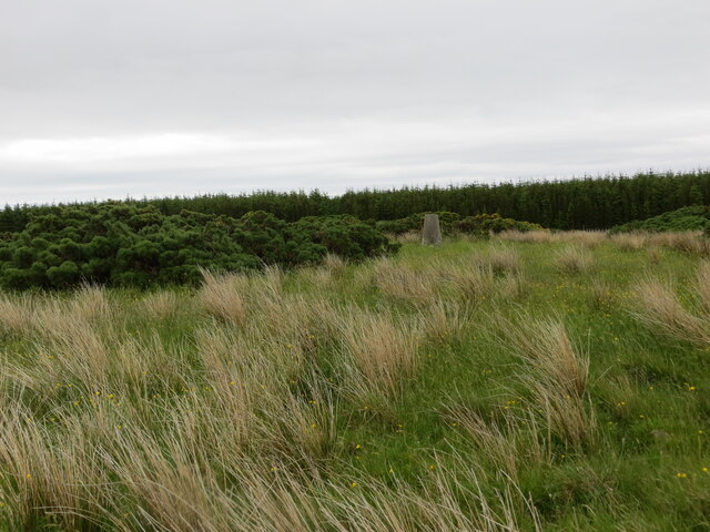
The landscape surrounding Bower is characterized by rolling hills, lush green fields, and scattered farmsteads. The area is renowned for its natural beauty, with stunning views of the nearby Morven Hills and the North Sea coastline. This makes Bower an ideal destination for outdoor enthusiasts, with ample opportunities for hiking, cycling, and wildlife spotting.

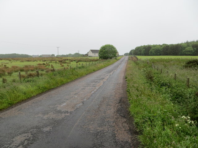
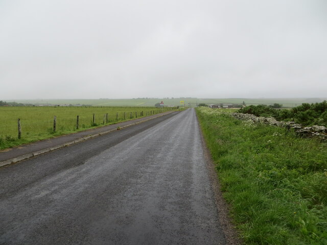
Despite its small size, Bower is well-connected to nearby towns and cities. The A99 road runs through the village, providing convenient access to Wick and other neighboring areas. Additionally, Bower benefits from a regular bus service, ensuring easy transportation options for residents and visitors alike.

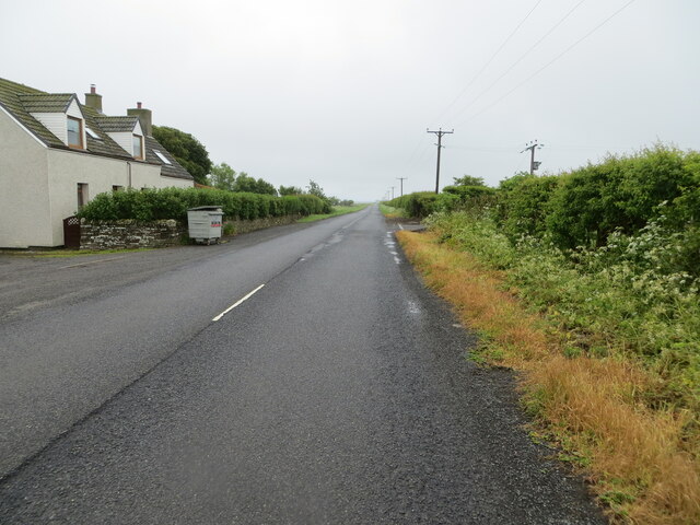
Within the village itself, there are a few amenities to cater to the needs of the local community. These include a primary school, a village hall, and a post office. While Bower may not offer extensive shopping or dining options, the nearby town of Wick provides a wider range of services and facilities for those seeking more variety.

In summary, Bower is a charming and idyllic village in the Caithness region of Scotland. With its stunning natural surroundings and close proximity to larger towns, it is a delightful place to live or visit for those seeking a peaceful and rural Scottish experience.

If you have any feedback on the listing, please let us know in the comments section below.
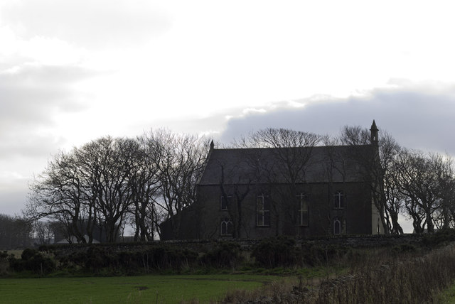
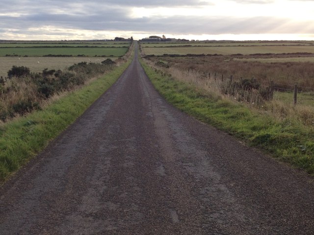
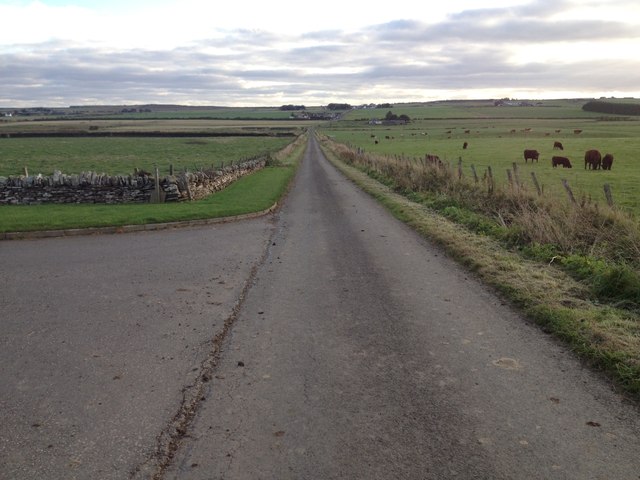
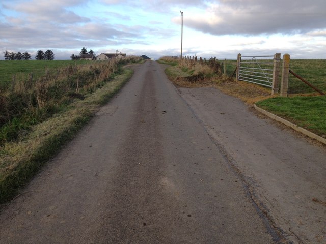
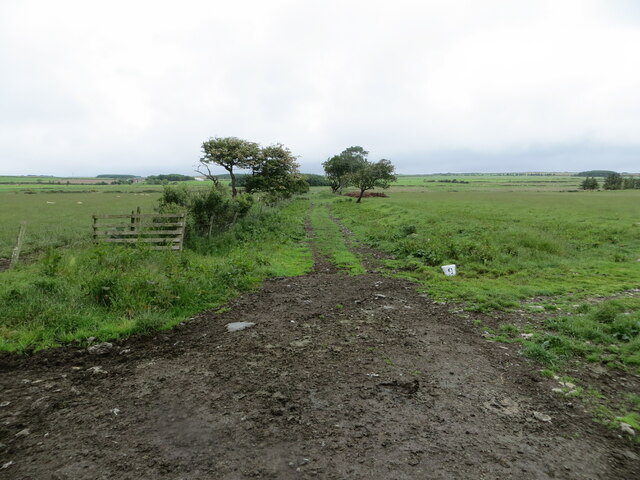
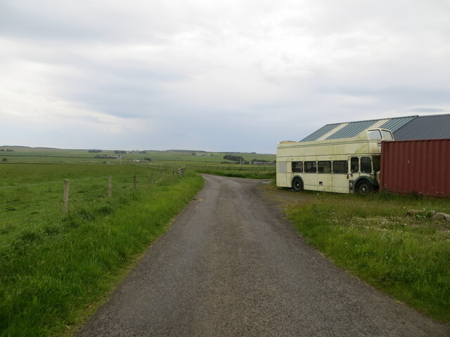
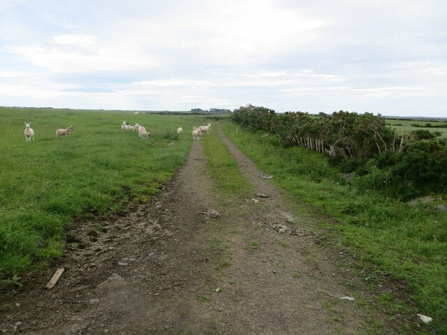
Bower Images

Images are sourced within 2km of 58.544379/-3.308329 or Grid Reference ND2362. Thanks to Geograph Open Source API. All images are credited.

Bower Kirk
Bower Kirk
Bower Mains
Bower Mains
Tree and Graveyard
Tree and Graveyard
Minor road near Bowermadden
Rough moorland at Bowertower Triangulation Pillar, Brabsterdorran Looking south-eastward.
Rough moorland at Bowertower Triangulation Pillar, Brabsterdorran
Looking south-eastward.
Minor road between Halcro and Brabsterdorran Looking south-westward.
Minor road between Halcro and Brabsterdorran
Looking south-westward.
Minor road beside derelict buildings near Halcro Looking north-eastward.
Minor road beside derelict buildings near Halcro
Looking north-eastward.
The derelict buildings of Lower Bowertower Viewed from the minor road to the south.
The derelict buildings of Lower Bowertower
Viewed from the minor road to the south.
Minor road heading towards Bower Looking north-eastward from Bower Church.
Minor road heading towards Bower
Looking north-eastward from Bower Church.
Road (B876) at Lower Thura Looking south-eastward.
Road (B876) at Lower Thura
Looking south-eastward.
Minor road to Seater Looking south-westward. Public access to the landfill site is no longer allowed.
Minor road to Seater
Looking south-westward. Public access to the landfill site is no longer allowed.
Minor road from Seater approaching Whitegar Looking north-eastward.
Minor road from Seater approaching Whitegar
Looking north-eastward.
Field edge track giving access to Leans of Thura Looking north-eastward from the B876 road.
Field edge track giving access to Leans of Thura
Looking north-eastward from the B876 road.
Seater Landfill Site public closure notice
Minor road and off-route sight seeing bus near Ha' of Bowermadden Looking south-westward. The bus would appear to be a long way from home. Its destination panel is showing that it is bound for The Needles Old Battery (on the Isle of Wight).
Minor road and off-route sight seeing bus near Ha' of Bowermadden
Looking south-westward. The bus would appear to be a long way from home. Its destination panel is showing that it is bound for The Needles Old Battery (on the Isle of Wight).
Field edge farm track and grazing sheep near Bowermadden Looking north-eastward.
Field edge farm track and grazing sheep near Bowermadden
Looking north-eastward.
Show me another place!

Bower is located at Grid Ref: ND2362 (Lat: 58.544379, Lng: -3.308329)

Unitary Authority: Highland

Police Authority: Highlands and Islands

What 3 Words

///face.blurs.string. Near Halkirk, Highland

Nearby Locations

Bower

Related Wikis

Bower, Highland

Bower (Scottish Gaelic: Bàgair) is a village and civil parish in Highland, Scotland It is 10 miles from Thurso and around 11 miles from Wick. Bower is...
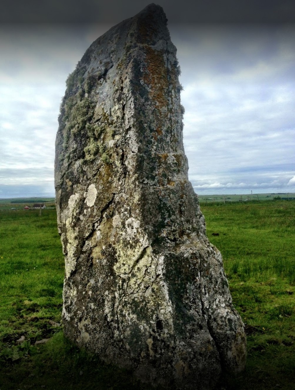
Stone Lud

The Stone Lud is a standing stone in the parish of Bower in Caithness, in the Highland area of Scotland. It is located and about 7 kilometres (4.3 mi)...

Brabsterdorran

Brabsterdorran is an area of the civil parish of Bower in Highland, Scotland. Buildings include Bower Community Hall and the Old Free Church Manse, previously...

Reaster

Reaster is a small village in Bower parish, Caithness Highland, Scotland.

Nearby Amenities

Located within 500m of 58.544379,-3.308329
Bus Stop
Bus Shelter
Naptan AtcoCode: 6700712455A
Naptan Bearing: SE
Naptan CommonName: Bus Shelter
Naptan Indicator: opp
Naptan Landmark: Bus Shelter
Naptan NaptanCode: 45326879
Naptan Street: B876
Naptan Verified: no
Source: naptan_import
Lat/Long: 58.5452405/-3.3072579
Generator Source: wind
Generator Type: horizontal_axis
Power: generator
Lat/Long: 58.5429043/-3.3086892
Post Box
Post Box Type: lamp
Ref: KW1 79
Royal Cypher: scottish_crown
Lat/Long: 58.5472093/-3.3127992
Booth: K6
Covered: booth
Removed Amenity: telephone
Lat/Long: 58.5472218/-3.312818
Power: pole
Lat/Long: 58.54736/-3.3025739
Power: pole
Lat/Long: 58.5466629/-3.3025911
Power: pole
Lat/Long: 58.5460992/-3.3028855
Power: pole
Lat/Long: 58.5455557/-3.3031718
Power: pole
Lat/Long: 58.5448363/-3.3035525
Power: pole
Lat/Long: 58.5439971/-3.304251
Power: pole
Lat/Long: 58.5433434/-3.3045657
Power: pole
Lat/Long: 58.5427034/-3.3048804
Power: pole
Lat/Long: 58.5420518/-3.3052053
Power: pole
Lat/Long: 58.5414213/-3.305524
Power: pole
Lat/Long: 58.5407749/-3.3058327
Power: pole
Lat/Long: 58.5401179/-3.3061494
Power: pole
Lat/Long: 58.546924/-3.3153522
Power: pole
Lat/Long: 58.5465214/-3.3147227
Power: pole
Lat/Long: 58.546407/-3.3135918
Power: pole
Lat/Long: 58.546283/-3.3124731
Power: pole
Lat/Long: 58.5461676/-3.3113909
Power: pole
Lat/Long: 58.5460712/-3.3105401
Power: pole
Lat/Long: 58.5456972/-3.3092447
Power: pole
Lat/Long: 58.5452861/-3.3078702
Power: pole
Lat/Long: 58.5448411/-3.306593
Power: pole
Lat/Long: 58.5443897/-3.3053525
Power: pole
Lat/Long: 58.5458624/-3.311135
Power: pole
Lat/Long: 58.5451854/-3.3115492
Power: pole
Lat/Long: 58.5445116/-3.3119472
Power: pole
Lat/Long: 58.5439701/-3.3122639
Power: pole
Lat/Long: 58.5434467/-3.3125888
Power: pole
Lat/Long: 58.5427845/-3.3129908
Power: pole
Lat/Long: 58.540154/-3.309996
Power: pole
Lat/Long: 58.5406303/-3.3096884
Bower
Name Gd: Bàgair
Place: village
Wikidata: Q2181270
Wikipedia: en:Bower, Highland
Lat/Long: 58.5468844/-3.3125223
The data included in this document is from www.openstreetmap.org. The data is made available under ODbL.

Have you been to Bower?

Leave your review of Bower below (or comments, questions and feedback).