Bowdens

Settlement in Somerset South Somerset

England

Bowdens

Flats fields, and a railway line out there somewhere
Flats fields, and a railway line out there somewhere Credit: Rob Purvis

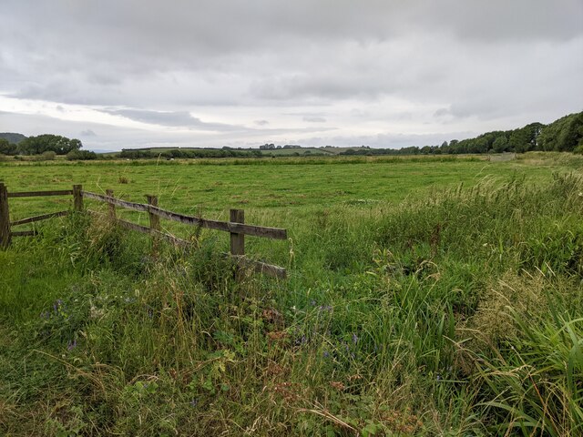
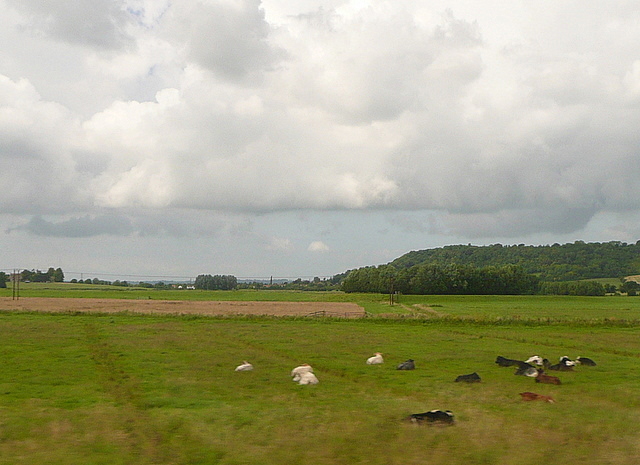
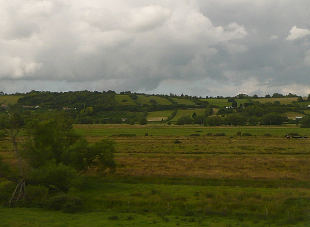
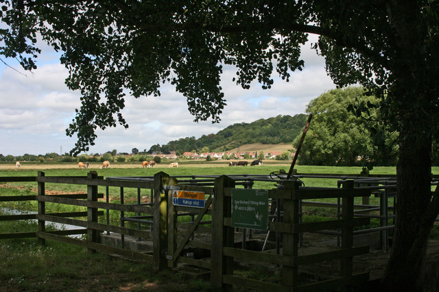
Bowdens is a small village located in the county of Somerset, England. Situated in the district of South Somerset, it is nestled amidst the picturesque countryside and is surrounded by rolling hills and lush green fields. The village is set approximately 3 miles south-east of the town of Langport and 8 miles west of Yeovil.

Steeped in history, Bowdens is believed to have been settled during the Roman era, as evidenced by the discovery of ancient remains in the vicinity. The village is also known for its connection to the Monmouth Rebellion of 1685 when James Scott, Duke of Monmouth, made his ill-fated attempt to overthrow King James II.

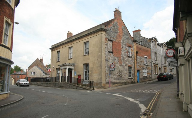
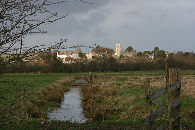
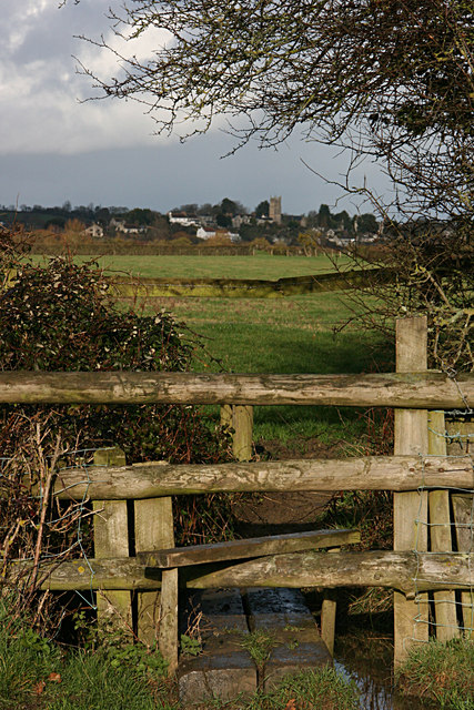
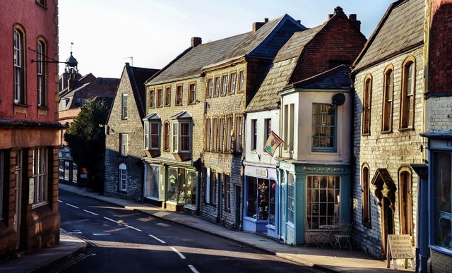
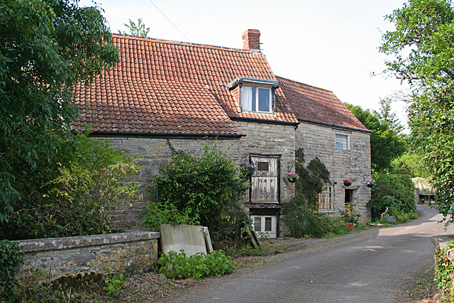
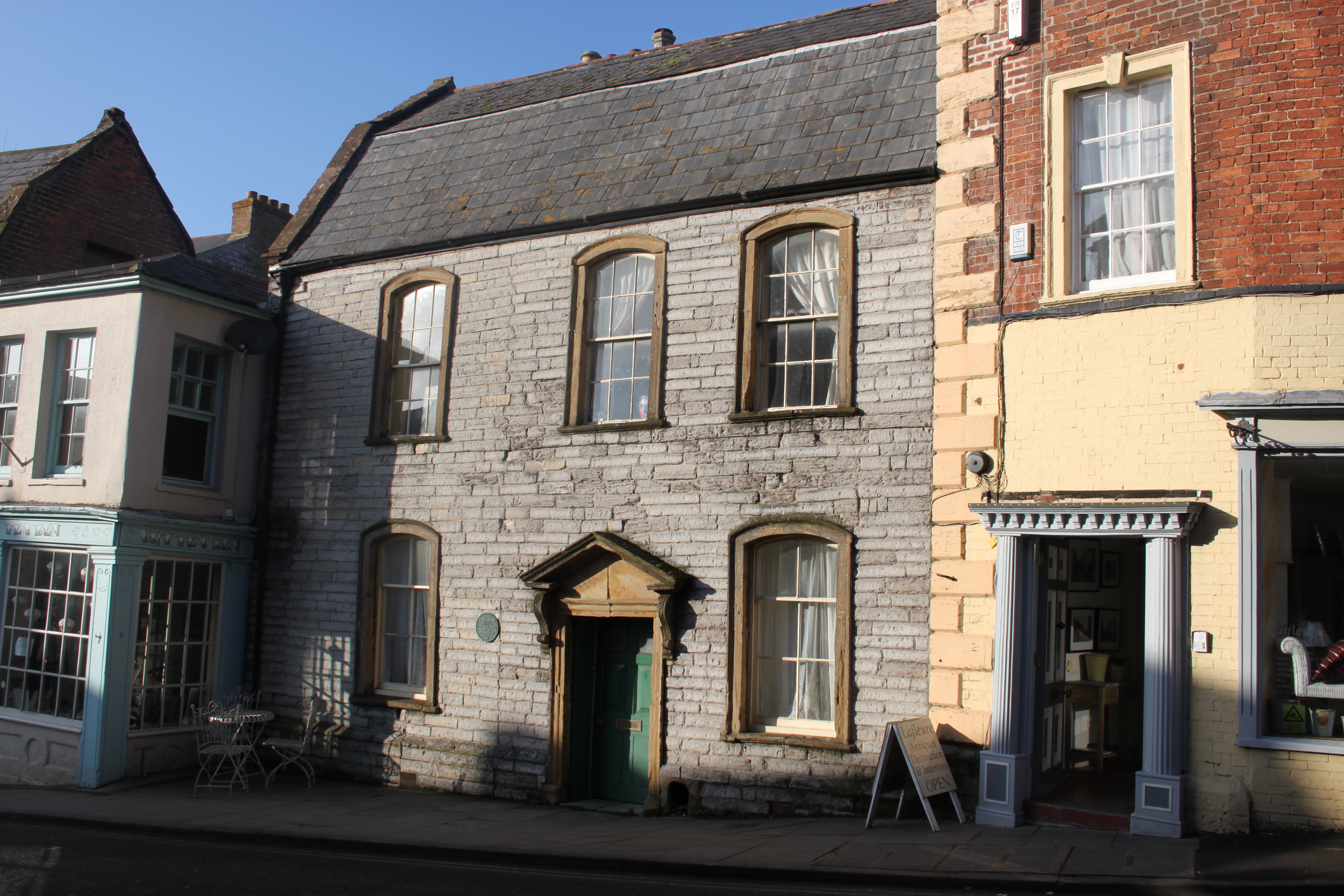
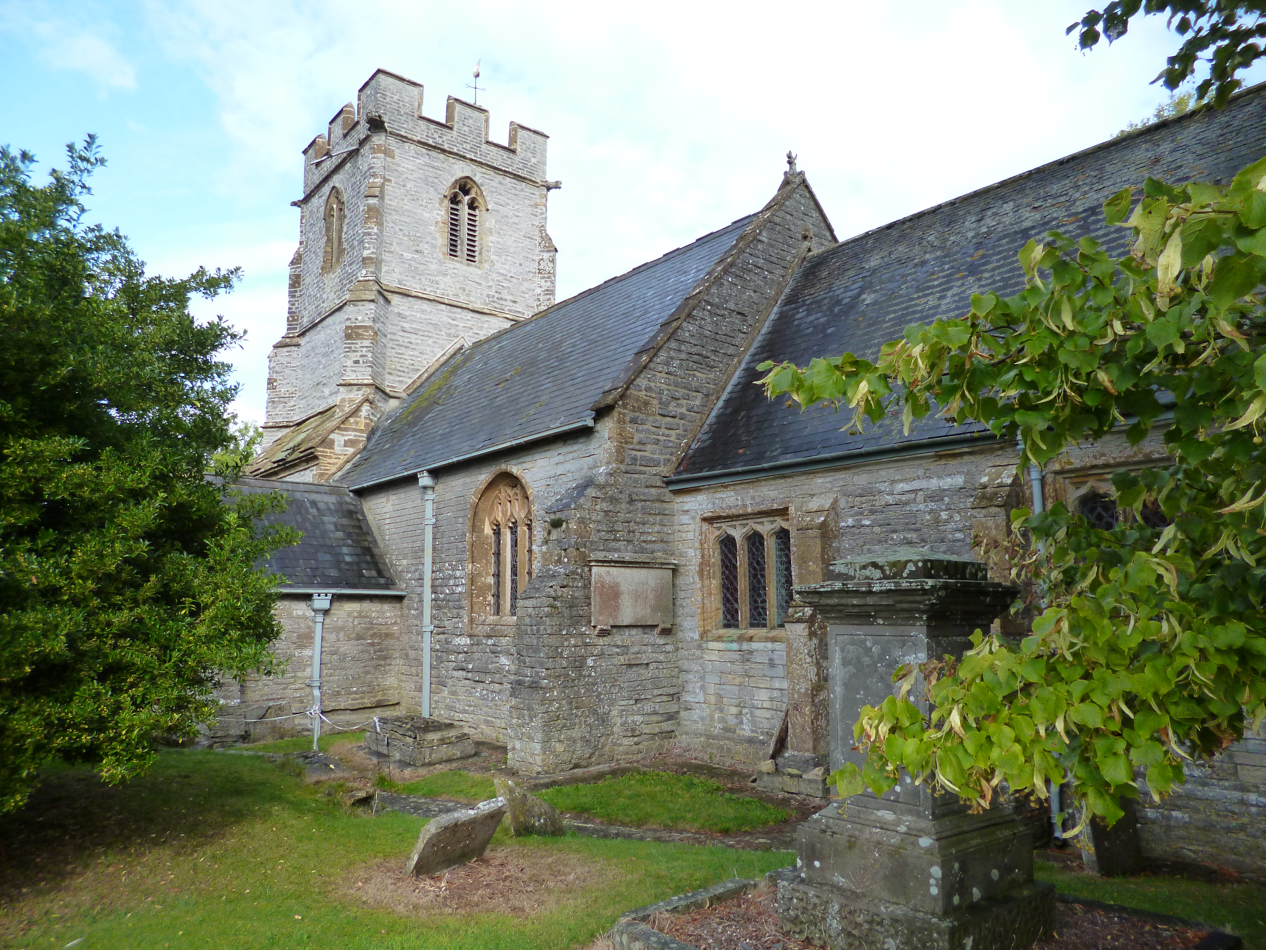
Despite its small size, Bowdens boasts a close-knit community and a peaceful ambiance. The village is characterized by a mix of traditional stone-built houses and charming thatched cottages, lending it a quintessentially English countryside charm. The local parish church, St. Bartholomew's, is a prominent feature and dates back to the 12th century, displaying beautiful architectural details.

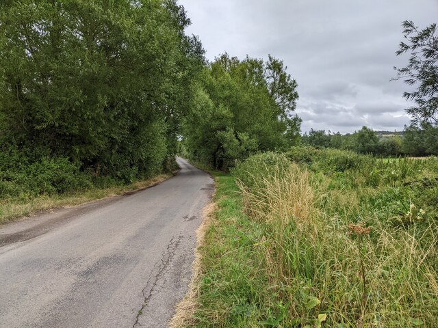
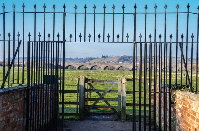
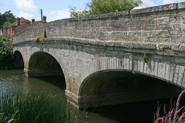
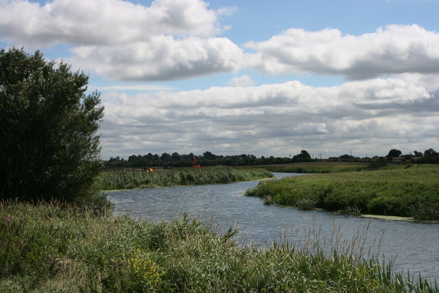
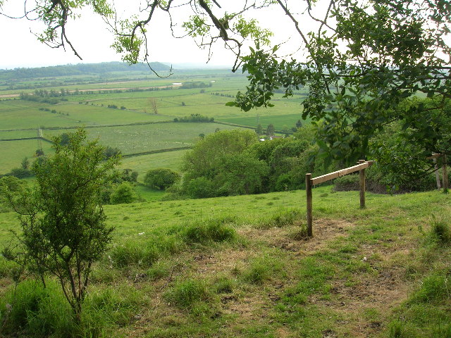
Bowdens is an ideal location for nature enthusiasts and outdoor lovers. The surrounding countryside offers ample opportunities for walking, hiking, and cycling, with scenic trails and footpaths crisscrossing the area. Additionally, the nearby River Parrett provides a serene setting for boating and fishing.

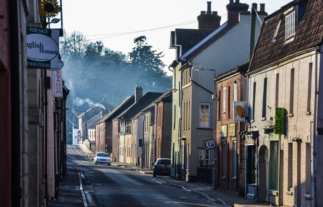
While Bowdens does not have many amenities within its boundaries, it benefits from its proximity to neighboring towns and villages, offering a range of services including shops, schools, and healthcare facilities.

If you have any feedback on the listing, please let us know in the comments section below.

Bowdens Images

Images are sourced within 2km of 51.048304/-2.8430518 or Grid Reference ST4128. Thanks to Geograph Open Source API. All images are credited.

Flats fields, and a railway line out there somewhere
Lane heading towards Wick
The Post Office at Langport
Port Moor Part of the Somerset Levels, where all the lines you see are one sort of ditch or another.  Looking north towards Aller Hill <a href="https://www.geograph.org.uk/gridref/ST4029">ST4029</a>
This photo was taken from the 1158 Penzance to London Paddington train, having left Taunton at 1529.
Port Moor
Part of the Somerset Levels, where all the lines you see are one sort of ditch or another. Looking north towards Aller Hill ST4029 This photo was taken from the 1158 Penzance to London Paddington train, having left Taunton at 1529.
Poolmead An area of what looks like particularly wet and poor quality pasture to the north-west of Langport, despite the many drainage ditches.  On the map this has almost a paddy field quality.
This photo was taken from the 1158 Penzance to London Paddington train, having left Taunton at 1529.
Poolmead
An area of what looks like particularly wet and poor quality pasture to the north-west of Langport, despite the many drainage ditches. On the map this has almost a paddy field quality. This photo was taken from the 1158 Penzance to London Paddington train, having left Taunton at 1529.
Langport across Huish Level
Langport from the footpath to Drayton
Langport: Bow Street
Langport: View across Little Moor towards the Viaduct
Langport: Bow Street
Langport Telephone Exchange Situated in Old Market Square off the A378 North Street, this modern TE would have replaced a smaller building from the GPO era during the early 1970s. Besides Langport, this TE also serves Aller, Bramwell, Curry Rivel, Drayton, Henley, High Ham, Huish Episcopi, Low Ham, Muchelney, Pibsbury, Pitney and Wearne nearby. This TE has (01458) 25xxxx numbers, the (01458) referring to the Glastonbury group of TEs, and its postcode is TA10 9RP.
Langport Telephone Exchange
Situated in Old Market Square off the A378 North Street, this modern TE would have replaced a smaller building from the GPO era during the early 1970s. Besides Langport, this TE also serves Aller, Bramwell, Curry Rivel, Drayton, Henley, High Ham, Huish Episcopi, Low Ham, Muchelney, Pibsbury, Pitney and Wearne nearby. This TE has (01458) 25xxxx numbers, the (01458) referring to the Glastonbury group of TEs, and its postcode is TA10 9RP.
High Ham: Paradise Mill Watermill, disused, in a parish which in earlier centuries had several windmills. With miller's cottage attached. Paradise Mill may have served the villagers of nearby Wearne
High Ham: Paradise Mill
Watermill, disused, in a parish which in earlier centuries had several windmills. With miller's cottage attached. Paradise Mill may have served the villagers of nearby Wearne
The Town Hall, Langport
Langport West station, with the final train to Yeovil Langport West station on the day that the Yeovil Town - Durston line closed. The final train for Yeovil awaits departure at dusk.
Langport West station, with the final train to Yeovil
Langport West station on the day that the Yeovil Town - Durston line closed. The final train for Yeovil awaits departure at dusk.
Langport church from the river
Langport bridge
Langport bridge
Coy Orchard Tilting Weir
River Parrett near Aller
Show me another place!

Bowdens is located at Grid Ref: ST4128 (Lat: 51.048304, Lng: -2.8430518)

Administrative County: Somerset

District: South Somerset

Police Authority: Avon and Somerset

What 3 Words

///remainder.plotted.loom. Near Langport, Somerset

Nearby Locations

Combe Bowdens

Related Wikis

Aller, Somerset

Aller is a village and parish in Somerset, England, situated 5 miles (8.0 km) west of Somerton on the A372 road towards Bridgwater. The village has a population...

Aller Hill

Aller Hill (grid reference ST408291) is an 18.4 hectare (45.4 acre) biological Site of Special Scientific Interest near Aller in Somerset, notified in...

Warehouse, Langport

The Warehouse in Great Bow Yard Langport, Somerset, England is an example of Victorian industrial architecture. The Warehouse was built in the late 18th...

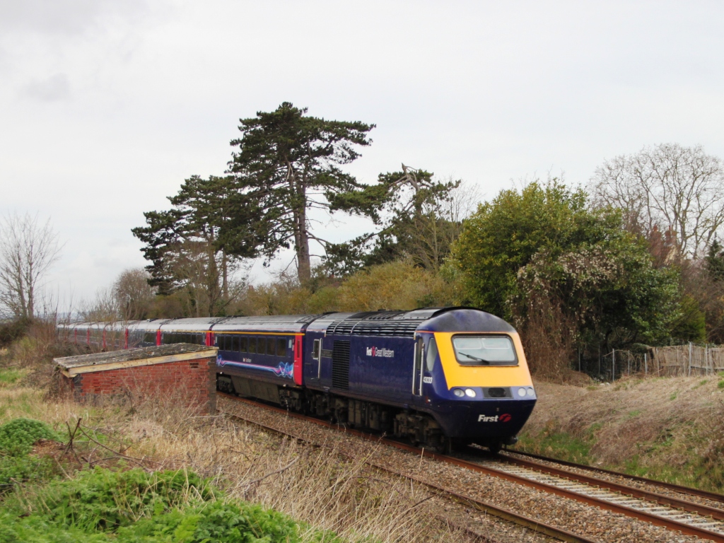
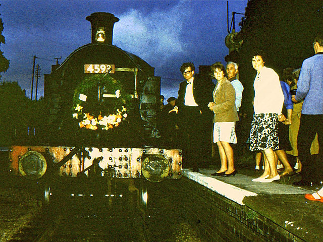
Langport East railway station

Langport East was a railway station situated in Langport in Somerset. The station also served Huish Episcopi. The station was on the Langport and Castle...
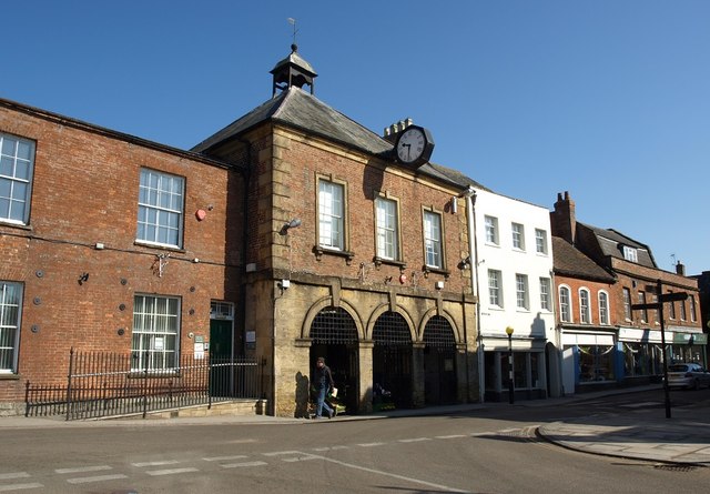
Langport Town Hall

Langport Town Hall is a municipal building in Bow Street in Langport, Somerset, England. The building, which is the meeting place of Langport Town Council...

Tudor House, Langport

The Tudor House is an 18th-century house in Langport, Somerset, England. It was built in 1776 but had fallen into disrepair until it was bought and restored...

Langport

Langport is a town and civil parish in Somerset, England, 5 miles (8 km) west of Somerton. The parish, which covers only part of the town, has a population...

Church of St Andrew, Aller

The Anglican Church of St Andrew in Aller, Somerset, England, was built in the 11th century. It is a Grade II* listed building. == History == The Church...

Nearby Amenities

Located within 500m of 51.048304,-2.8430518
Power: tower
Lat/Long: 51.0521159/-2.8407425
Monk's Leaze Clyse
Man Made: monitoring_station
Monitoring Water Level: yes
Operator: Environment Agency
Recording Automated: yes
Recording Remote: yes
Lat/Long: 51.0446843/-2.8438002
Power: tower
Lat/Long: 51.0513063/-2.8378625
Power: pole
Lat/Long: 51.0442829/-2.8440283
Power: pole
Lat/Long: 51.0446766/-2.8430708
Power: pole
Lat/Long: 51.0451801/-2.8418708
Power: pole
Lat/Long: 51.0456837/-2.840642
Power: pole
Lat/Long: 51.0461938/-2.8394132
Power: pole
Lat/Long: 51.046694/-2.8382131
Power: pole
Lat/Long: 51.0471779/-2.837047
Power: pole
Lat/Long: 51.0442608/-2.8431295
Power: pole
Lat/Long: 51.0446126/-2.8429904
The data included in this document is from www.openstreetmap.org. The data is made available under ODbL.

Have you been to Bowdens?

Leave your review of Bowdens below (or comments, questions and feedback).