Blacknuck, Upper

Settlement in Pembrokeshire

Wales

Blacknuck, Upper

Road and Bridge crossing Afon Syfynwy Looking eastward from beside Rhyd Fawr Water Works.
Road and Bridge crossing Afon Syfynwy Credit: Peter Wood

Blacknuck, Upper, Pembrokeshire is a small village located in the county of Pembrokeshire, Wales. Situated in the southwestern part of the country, Blacknuck is nestled amidst the beautiful countryside, offering picturesque views and a tranquil atmosphere.

With a population of around 200 residents, Blacknuck is a close-knit community that thrives on its rural charm and friendly ambiance. The village is primarily residential, with a scattering of small businesses catering to the local needs. The architecture of the houses in Blacknuck is predominantly traditional, reflecting the village's rich history and heritage.

The surrounding countryside provides ample opportunities for outdoor activities, making Blacknuck an ideal location for nature enthusiasts. The village is bordered by rolling hills and lush green fields, perfect for leisurely walks, hiking, and cycling. The nearby coastal areas, such as Fishguard Bay and Newport Sands, offer stunning beaches and coastal paths to explore.

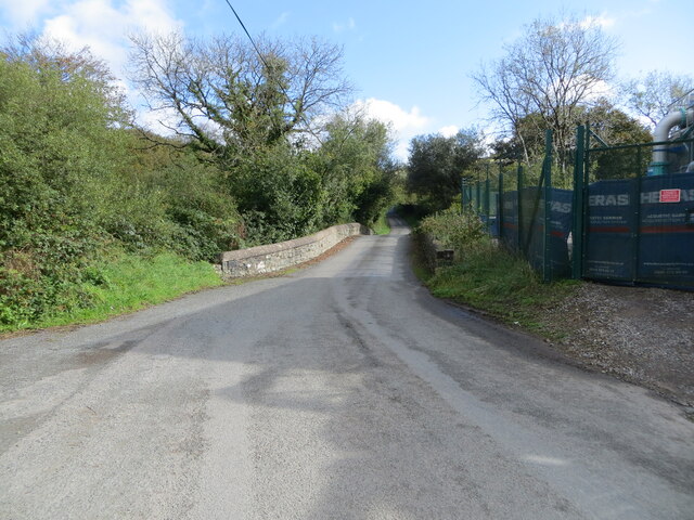
Blacknuck is well-connected to the rest of Pembrokeshire through a network of roads, ensuring convenient access to nearby towns and amenities. The village also benefits from good public transportation links, with regular bus services connecting it to larger towns like Haverfordwest and Cardigan.

In terms of facilities, Blacknuck has a small primary school, a village hall, and a local pub where residents can gather and socialize. For further amenities, residents can easily access the nearby towns, which offer a wider range of shops, supermarkets, and healthcare services.

Overall, Blacknuck, Upper, Pembrokeshire is a charming village that offers a peaceful and idyllic lifestyle amidst the natural beauty of the Welsh countryside.

If you have any feedback on the listing, please let us know in the comments section below.

Blacknuck, Upper Images

Images are sourced within 2km of 51.908012/-4.8071848 or Grid Reference SN0727. Thanks to Geograph Open Source API. All images are credited.

Road and Bridge crossing Afon Syfynwy Looking eastward from beside Rhyd Fawr Water Works.
Road and Bridge crossing Afon Syfynwy
Looking eastward from beside Rhyd Fawr Water Works.
Capel Horeb and part of its burial ground at Trebengych Looking south-eastward.
Capel Horeb and part of its burial ground at Trebengych
Looking south-eastward.
Approaching the village centre at Maenclochog The prominent building was once the Castle Inn, now totally decrepit, with two rotting vehicles in front of it - you have to wonder why this eyesore is tolerated, as it detracts from what is otherwise an attractive set of buildings around the village green.
Approaching the village centre at Maenclochog
The prominent building was once the Castle Inn, now totally decrepit, with two rotting vehicles in front of it - you have to wonder why this eyesore is tolerated, as it detracts from what is otherwise an attractive set of buildings around the village green.
General stores in Maenclochog
Ordnance Survey Cut Mark This OS cut mark can be found on the SE angle of St Mary's Church. It marks a point 211.196m above mean sea level.
Ordnance Survey Cut Mark
This OS cut mark can be found on the SE angle of St Mary's Church. It marks a point 211.196m above mean sea level.
Ordnance Survey Cut Mark This OS cut mark can be found on the west angle of the school. It marks a point 214.479m above mean sea level.
Ordnance Survey Cut Mark
This OS cut mark can be found on the west angle of the school. It marks a point 214.479m above mean sea level.
Ordnance Survey Cut Mark This OS cut mark can be found on the gatepost south of the road. It marks a point 232.971m above mean sea level.
Ordnance Survey Cut Mark
This OS cut mark can be found on the gatepost south of the road. It marks a point 232.971m above mean sea level.
Ordnance Survey Cut Mark This OS cut mark can be found on the SE face of the Baptist Chapel. It marks a point 229.947m above mean sea level.
Ordnance Survey Cut Mark
This OS cut mark can be found on the SE face of the Baptist Chapel. It marks a point 229.947m above mean sea level.
Ordnance Survey Cut Mark This OS cut mark can be found on the gatepost to the SW of the road. It marks a point 247.458m above mean sea level.
Ordnance Survey Cut Mark
This OS cut mark can be found on the gatepost to the SW of the road. It marks a point 247.458m above mean sea level.
Boundary Stone West side of road on railway bridge.
Boundary Stone
West side of road on railway bridge.
Information Board - Maenclochog carpark
Maenclochog picnic area
Tabernacl Chapel - Maenclochog
Old Building Maenclochog
Castle Hotel Maenclochog - seen better days
Maenclochog - Siop Y Sgwar
Show me another place!

Blacknuck, Upper is located at Grid Ref: SN0727 (Lat: 51.908012, Lng: -4.8071848)

Unitary Authority: Pembrokeshire

Police Authority: Dyfed Powys

What 3 Words

///mondays.december.blemishes. Near Ambleston, Pembrokeshire

Related Wikis

Maenclochog railway station

Maenclochog railway station served the village of Maenclochog, Pembrokeshire, Wales, from 1876 to 1949 on the Narberth Road and Maenclochog Railway....

Maenclochog

Maenclochog () is a village, parish and community in Pembrokeshire, south-west Wales. It is also the name of an electoral ward comprising a wider area...

New Moat

New Moat (Welsh: Y Mot) is a village, parish and community in Pembrokeshire, Wales. It extends from the southern edges of Mynydd Preseli to the Pembrokeshire...

Rosebush, Pembrokeshire

Rosebush (Welsh: Rhos-y-bwlch) is a small village in the community of Maenclochog, Pembrokeshire, southwest Wales, UK. It lies in the southern slopes of...

Nearby Amenities

Located within 500m of 51.908012,-4.8071848
Twmpath Cross
Junction: yes
Lat/Long: 51.9078689/-4.8061514
Twmpath
Source: Survey
Tourism: guest_house
Lat/Long: 51.9077345/-4.8059695
Give Way
Direction: backward
Lat/Long: 51.9079958/-4.8050406
The data included in this document is from www.openstreetmap.org. The data is made available under ODbL.

Have you been to Blacknuck, Upper?

Leave your review of Blacknuck, Upper below (or comments, questions and feedback).