Blacknuck, Lower
Settlement in Pembrokeshire
Wales
Blacknuck, Lower
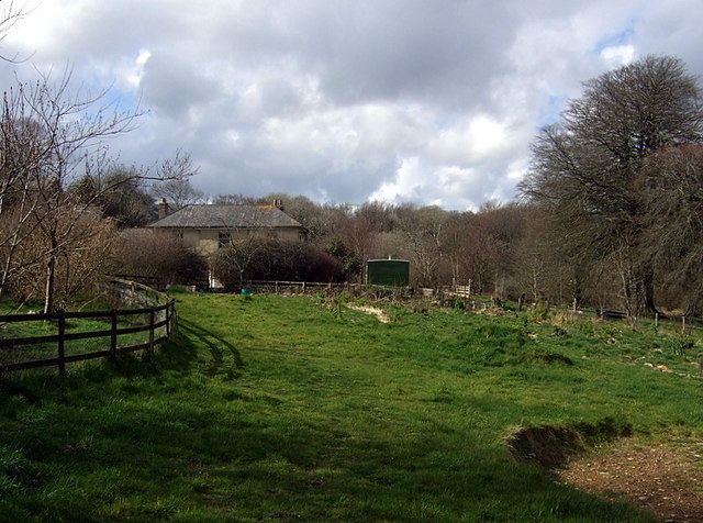
Blacknuck is a small village located in the county of Pembrokeshire, Wales. It is situated in the rural area of Lower Pembrokeshire, surrounded by picturesque landscapes and rolling hills. With a population of around 200 residents, it offers a close-knit community atmosphere.
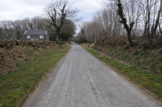
The village itself is characterized by its quaint and charming appearance, with traditional stone houses lining the streets. The architecture reflects the historical roots of the area, with some buildings dating back several centuries. Blacknuck is known for its well-preserved heritage, and many of the structures have been carefully maintained to retain their original character.
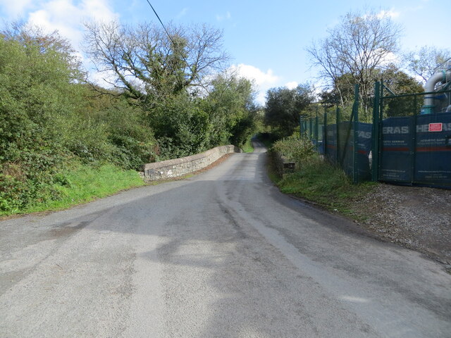
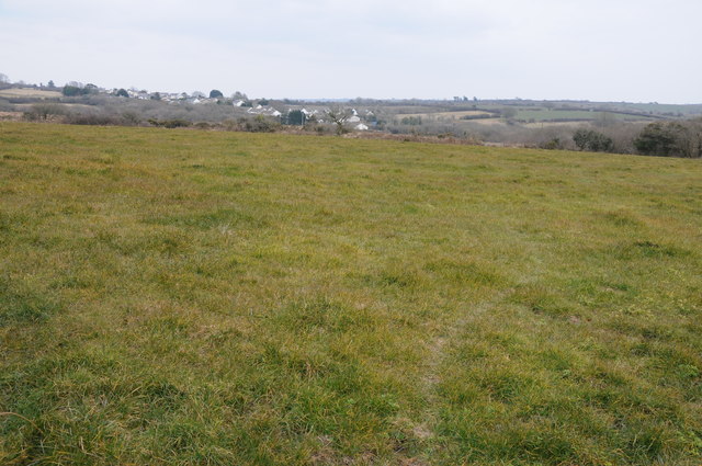
The village is surrounded by lush green fields and meadows, with a gentle river flowing through the outskirts. The natural beauty of the landscape provides ample opportunities for outdoor activities such as hiking, cycling, and fishing. The nearby Pembrokeshire Coast National Park is a popular attraction, offering stunning coastal vistas and diverse wildlife.
While Blacknuck is primarily a residential area, there are a few local amenities to cater to the needs of its residents. These include a small convenience store, a post office, and a village hall that hosts various community events throughout the year. For additional services and amenities, residents can easily access the nearby town of Lower Pembrokeshire, which is just a short drive away.
In summary, Blacknuck is a peaceful and idyllic village in Lower Pembrokeshire, Wales. With its stunning natural surroundings and rich heritage, it offers a tranquil retreat for those seeking a slower pace of life in a close-knit community.
If you have any feedback on the listing, please let us know in the comments section below.
Blacknuck, Lower Images
Images are sourced within 2km of 51.908012/-4.8071848 or Grid Reference SN0727. Thanks to Geograph Open Source API. All images are credited.


Blacknuck, Lower is located at Grid Ref: SN0727 (Lat: 51.908012, Lng: -4.8071848)
Unitary Authority: Pembrokeshire
Police Authority: Dyfed Powys
What 3 Words
///mondays.december.blemishes. Near Ambleston, Pembrokeshire
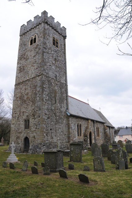
Related Wikis

Maenclochog railway station
Maenclochog railway station served the village of Maenclochog, Pembrokeshire, Wales, from 1876 to 1949 on the Narberth Road and Maenclochog Railway....
Maenclochog
Maenclochog () is a village, parish and community in Pembrokeshire, south-west Wales. It is also the name of an electoral ward comprising a wider area...

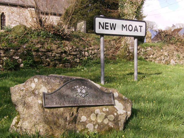
New Moat
New Moat (Welsh: Y Mot) is a village, parish and community in Pembrokeshire, Wales. It extends from the southern edges of Mynydd Preseli to the Pembrokeshire...

Rosebush, Pembrokeshire
Rosebush (Welsh: Rhos-y-bwlch) is a small village in the community of Maenclochog, Pembrokeshire, southwest Wales, UK. It lies in the southern slopes of...

Tafarn Sinc
Tafarn Sinc (English: Zinc Tavern) is a pub located in Rosebush, Pembrokeshire, Wales.The building is constructed of corrugated metal, which was commonly...
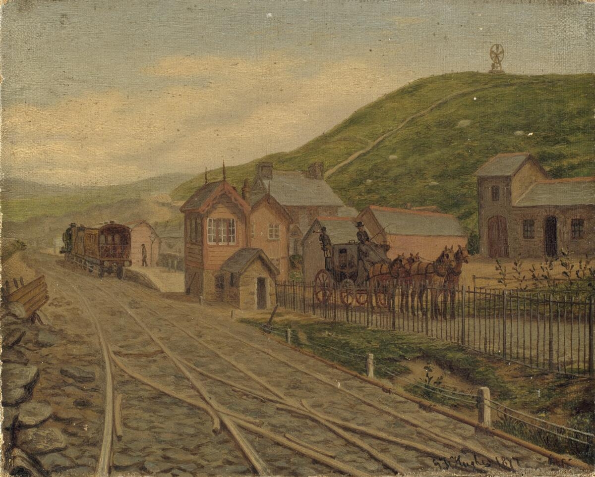
Rosebush railway station
Rosebush railway station served the village of Rosebush, Pembrokeshire, Wales, from 1876 to 1949 on the Narberth Road and Maenclochog Railway. == History... ==

Greenway, Pembrokeshire
Greenway, also referred to as New Inn, is a hamlet on the southern slopes of the Preseli Mountains in Pembrokeshire, Wales. It sits on the crossroads between...
Temple Druid
Temple Druid is a grade II listed John Nash house in west Wales, Pembrokeshire, Great Britain. Temple Druid, named after a series of standing stones and...
Nearby Amenities
Located within 500m of 51.908012,-4.8071848Have you been to Blacknuck, Lower?
Leave your review of Blacknuck, Lower below (or comments, questions and feedback).