Upgate

Settlement in Norfolk Broadland

England

Upgate

Attlebridge, St. Andrews Church: Southern aspect
Attlebridge, St. Andrews Church: Southern aspect Credit: Michael Garlick

Upgate is a small rural village located in the county of Norfolk, England. It is situated approximately 5 miles north of the town of Aylsham and 15 miles northwest of the city of Norwich. With a population of around 200 residents, Upgate is known for its peaceful and picturesque setting, surrounded by the beautiful Norfolk countryside.

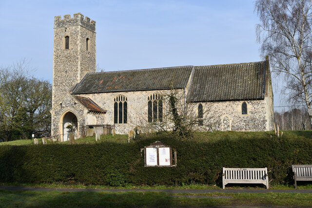
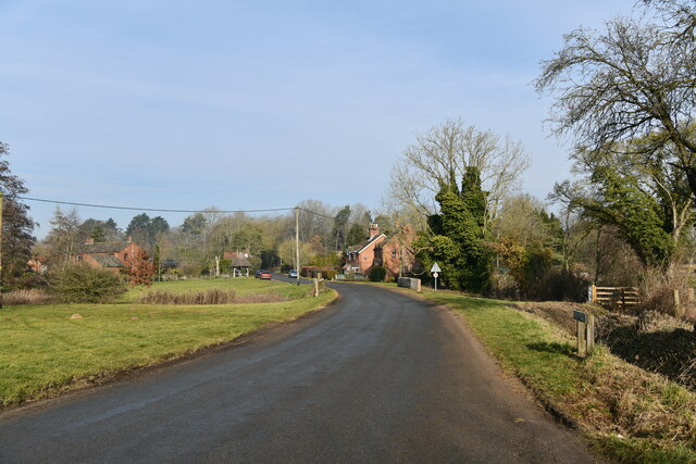
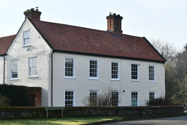
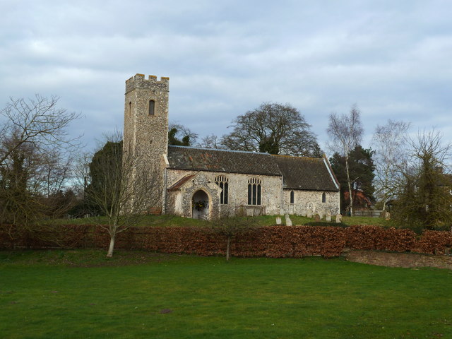
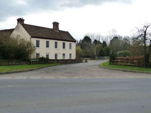
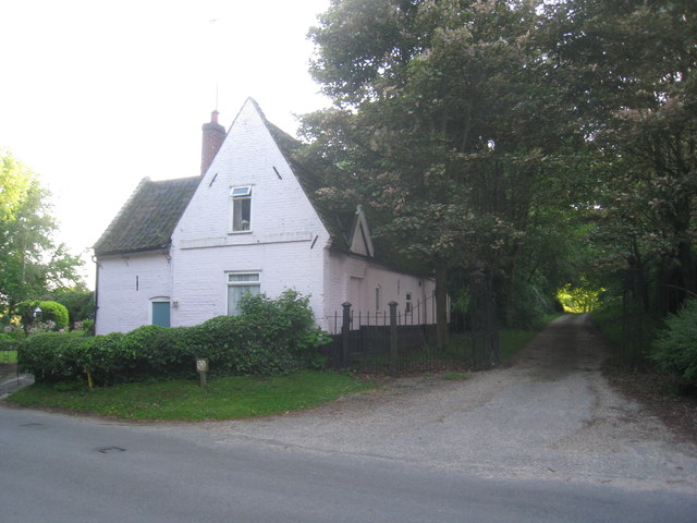
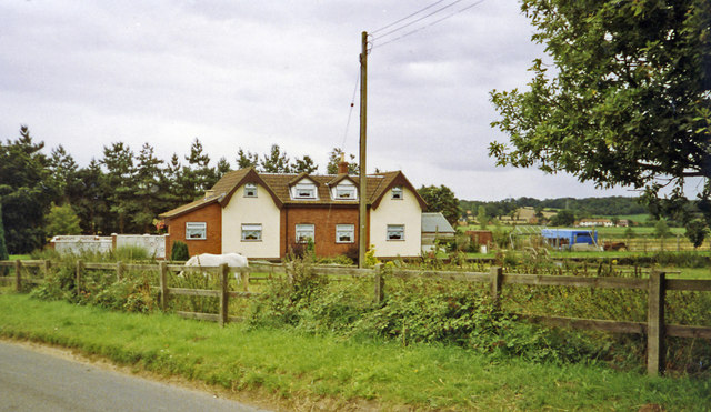
The village itself is characterized by its traditional English architecture, with many charming cottages and historic buildings lining its streets. The center of Upgate features a small village green, providing a gathering place for locals and visitors alike. The green is often used for community events and fairs throughout the year, enhancing the village's sense of community.

Although Upgate is primarily a residential area, there are a few amenities available to its residents. These include a local pub, serving traditional British cuisine, and a village hall that hosts various activities and events. For more extensive amenities, residents often travel to nearby Aylsham, where they can find a wider range of shops, schools, and healthcare facilities.

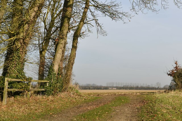
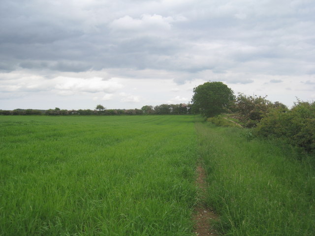
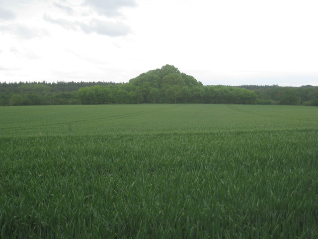
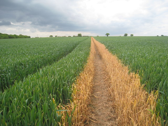
Nature enthusiasts will appreciate the surrounding countryside, which offers opportunities for walking, cycling, and exploring the nearby Norfolk Broads. The area is also known for its wildlife and birdwatching opportunities, attracting nature lovers from near and far.

Overall, Upgate is a tranquil and idyllic village, providing a peaceful retreat for its residents and attracting visitors who seek a taste of the Norfolk countryside.

If you have any feedback on the listing, please let us know in the comments section below.
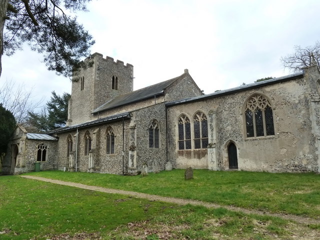
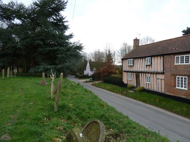
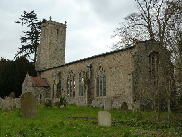
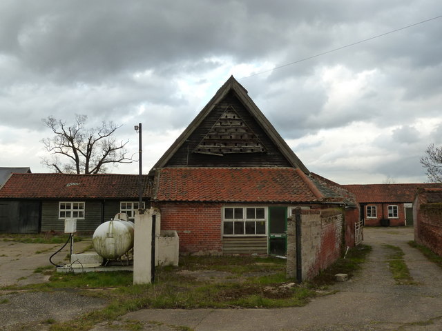
Upgate Images

Images are sourced within 2km of 52.718877/1.171188 or Grid Reference TG1418. Thanks to Geograph Open Source API. All images are credited.

Attlebridge, St. Andrews Church: Southern aspect
Swannington: School Road
Attlebridge: The Old Barn
Swannington: Village sign
Attlebridge Village Sign
Swannington: Farm track
St. Andrew's church, Attlebridge
Old Fakenham Road - leading to the footbridge
St. Margaret's church, Swannington
Houses as seen from the churchyard, Swannington
St, John the Baptist's church, Alderford
Dovecote at Church Farm, Alderford
Cottages by the entrance to Manor Farm. Swannington Now just one cottage.
Cottages by the entrance to Manor Farm. Swannington
Now just one cottage.
Footpath to Haveringland Follows the edge of the field.
Footpath to Haveringland
Follows the edge of the field.
Nissen hut at the Woodlands Still in use for storage though getting rather dilapidated.
Nissen hut at the Woodlands
Still in use for storage though getting rather dilapidated.
View towards Brickkiln Covert Strange pyramidal shape.
View towards Brickkiln Covert
Strange pyramidal shape.
Footpath to Swannington Someone has been sloshing the weedkiller around.
Footpath to Swannington
Someone has been sloshing the weedkiller around.
Site -?remains - of Attlebridge station, 1993 View SW on A1067 road. The station had been on the ex-M&GN Joint line, Melton Constable (to right) - Norwich (City) line, which closed for passengers with the rest of the system from 2/3/59, but the section to Norwich City was retained for goods by means of a connection off the ex-GER Wroxham - County School line by the Themelthorpe Loop from 12/9/60 and lasted until 13/7/64. It is not obvious whether the houses had been connected with the railway.
Site -?remains - of Attlebridge station, 1993
View SW on A1067 road. The station had been on the ex-M&GN Joint line, Melton Constable (to right) - Norwich (City) line, which closed for passengers with the rest of the system from 2/3/59, but the section to Norwich City was retained for goods by means of a connection off the ex-GER Wroxham - County School line by the Themelthorpe Loop from 12/9/60 and lasted until 13/7/64. It is not obvious whether the houses had been connected with the railway.
Show me another place!

Upgate is located at Grid Ref: TG1418 (Lat: 52.718877, Lng: 1.171188)

Administrative County: Norfolk

District: Broadland

Police Authority: Norfolk

What 3 Words

///plod.daring.workbook. Near Horsford, Norfolk

Nearby Locations

Upgate

Related Wikis

Swannington Upgate Common

Swannington Upgate Common is a 20.5-hectare (51-acre) biological Site of Special Scientific Interest north-west of Norwich in Norfolk.This site has varied...

Broadland (UK Parliament constituency)

Broadland is a Norfolk constituency, which has been represented in the House of Commons of the UK Parliament since the 2019 general election by Jerome...

Swannington, Norfolk

Swannington is a village and civil parish in the English county of Norfolk, United Kingdom. The villages name means 'Farm/settlement connected with Swan...

Alderford Common

Alderford Common is a 17.5-hectare (43-acre) biological Site of Special Scientific Interest north-west of Norwich in Norfolk.The common has a thin layer...

Nearby Amenities

Located within 500m of 52.718877,1.171188
Post Box, opp
Naptan AtcoCode: 2900S643
Naptan Bearing: SE
Naptan BusStopType: CUS
Naptan CommonName: Post Box
Naptan Indicator: opp
Naptan Landmark: Holly Cottage
Naptan Locality: Swannington
Naptan NaptanCode: nfodwdtw
Naptan Street: Upgate
Naptan Verified: no
Source: naptan_import
Lat/Long: 52.7203395/1.168857
Post Box, adj
Naptan AtcoCode: 2900S644
Naptan Bearing: NW
Naptan BusStopType: CUS
Naptan CommonName: Post Box
Naptan Indicator: adj
Naptan Landmark: Holly Cottage
Naptan Locality: Swannington
Naptan NaptanCode: nfodwdwa
Naptan Street: Upgate
Naptan Verified: no
Source: naptan_import
Lat/Long: 52.7202599/1.1688068
Upgate
Place: hamlet
Lat/Long: 52.7189995/1.1706725
Ford: yes
Lat/Long: 52.7187937/1.1781711
The data included in this document is from www.openstreetmap.org. The data is made available under ODbL.

Have you been to Upgate?

Leave your review of Upgate below (or comments, questions and feedback).