Upcott

Settlement in Devon Torridge
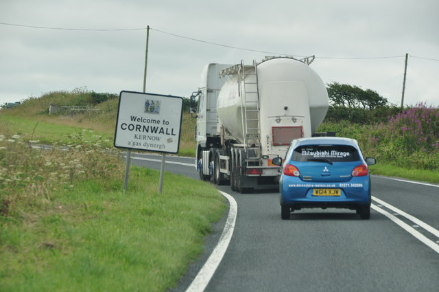
England

Upcott

St Nectan's Well, Welcombe
St Nectan's Well, Welcombe Credit: thejackrustles

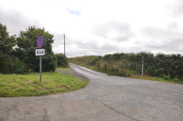
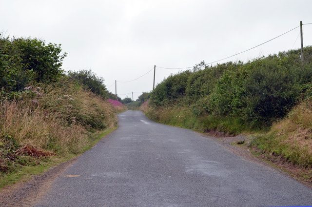
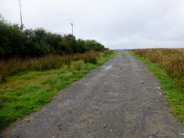
Upcott is a small village located in Devon, England. Situated in the southwestern part of the country, it is nestled within the picturesque countryside of the region. The village is part of the Torridge district, known for its rolling hills, green pastures, and tranquil atmosphere.

Upcott is a quintessential English village, with a population of around 200 residents. It is characterized by its charming thatched-roof cottages, some dating back to the 17th century, which add to the village's traditional and timeless appeal. The village is surrounded by lush fields and meadows, providing a peaceful and idyllic setting for residents and visitors alike.

Despite its small size, Upcott offers a sense of community and a range of amenities for its residents. These include a village hall, a local pub, and a small primary school. The village hall serves as a hub for social gatherings, events, and activities, fostering a strong sense of community spirit.

The surrounding countryside provides ample opportunities for outdoor activities, such as walking, hiking, and cycling. Upcott's proximity to the stunning North Devon coastline also makes it an ideal base for exploring the beautiful beaches and coastal trails of the region.

Overall, Upcott offers a tranquil and charming escape from the hustle and bustle of city life. Its traditional architecture, scenic surroundings, and sense of community make it a beloved destination for those seeking a peaceful and authentic English village experience.

If you have any feedback on the listing, please let us know in the comments section below.
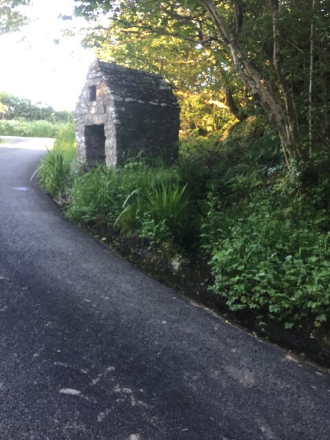
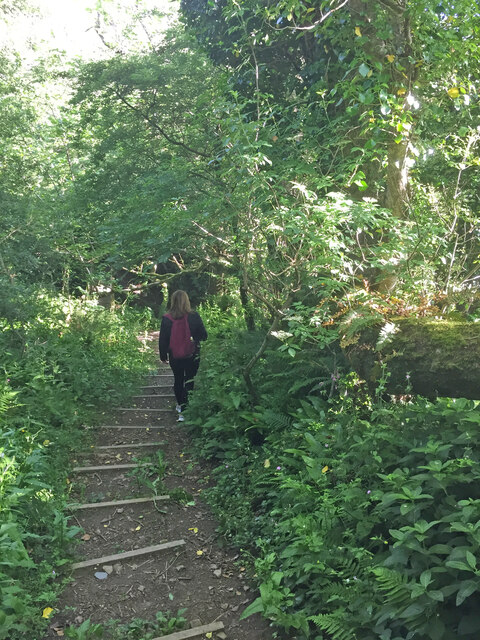
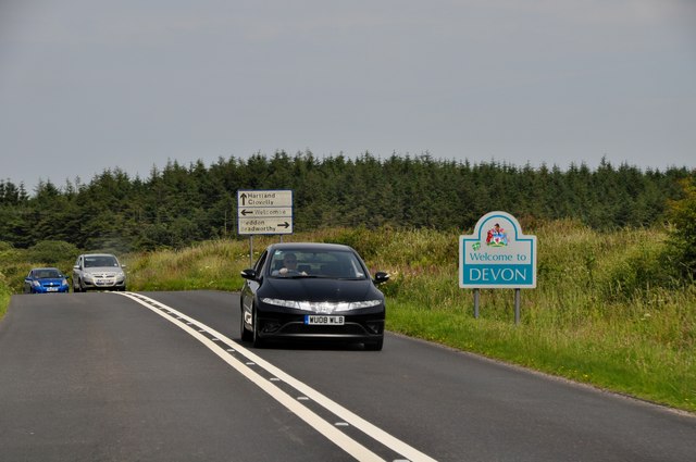
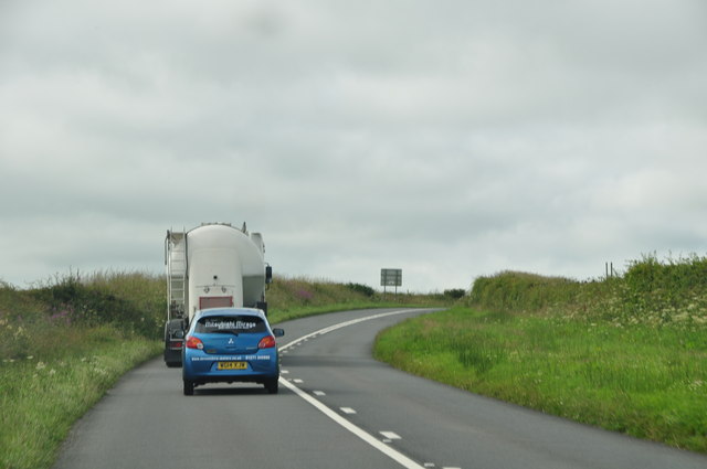
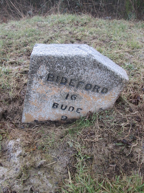
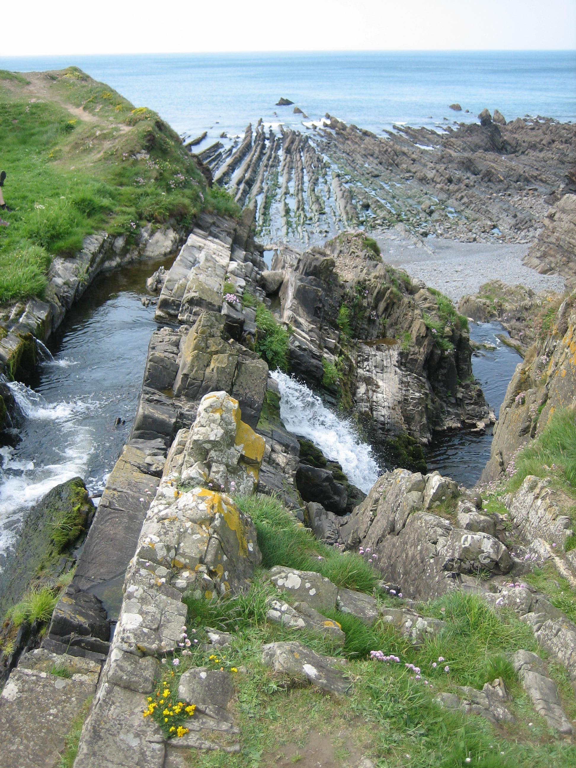
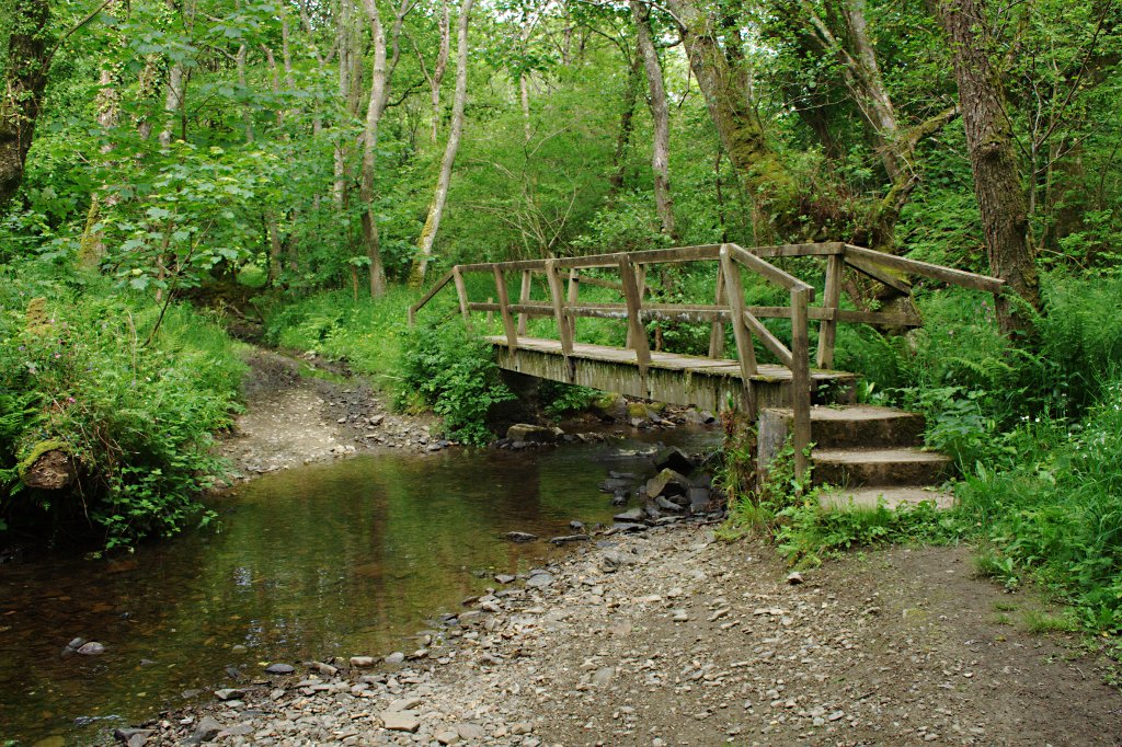
Upcott Images

Images are sourced within 2km of 50.933789/-4.495789 or Grid Reference SS2417. Thanks to Geograph Open Source API. All images are credited.

St Nectan's Well, Welcombe
Footpath, Welcombe
Footpath, Welcombe
The Old Smithy Inn at Darracott
The new Village Hall at Welcombe
Junction at Tredown
Junction at Tredown
North Cornwall : Devon Sign & A39 Road The A39 crosses back into civilisation as we know it here as it enters Devon from Cornwall.
North Cornwall : Devon Sign & A39 Road
The A39 crosses back into civilisation as we know it here as it enters Devon from Cornwall.
Entrance to Well Lane This track is marked on the 1:25K OS map with green dots indicating "Other Public Access".
Entrance to Well Lane
This track is marked on the 1:25K OS map with green dots indicating "Other Public Access".
Footbridge over stream, Welcombe A footbridge over a small stream flowing in a deeply incised, shady valley.
Footbridge over stream, Welcombe
A footbridge over a small stream flowing in a deeply incised, shady valley.
Torridge : The A39 Looking along the A39 as it heads through Torridge.
Torridge : The A39
Looking along the A39 as it heads through Torridge.
Cornwall : The A39 & Cornwall Sign A sign welcomes you to Cornwall on the A39.
Cornwall : The A39 & Cornwall Sign
A sign welcomes you to Cornwall on the A39.
Cornwall : Country Lane A small lane heading off from the A39.
Cornwall : Country Lane
A small lane heading off from the A39.
Lane towards Welcombe Cross The junction is with the A39.
Lane towards Welcombe Cross
The junction is with the A39.
Hendon Moor Trig Point Gate gives easy access to the moor and trig between cottage and farm.
Hendon Moor Trig Point
Gate gives easy access to the moor and trig between cottage and farm.
Hendon Moor Trig and then TuMP probably top of track rather than covered reservoir on other side of hedge. Easy access to moorland by gate between cottage and farm. Track to reservoir goes through private land belonging to cottage. Bagged with Ian Brown while eating blackberries from the hedges.
Name: Hendon Moor
Hill number: 17569
Height: 233m / 764ft
Parent (Ma/M): 2877  High Willhays
Area: 40: Cornwall & Devon
Class: Tump (200-299m)
Grid ref: SS260182 (est)
Drop: 87m
Col: 146m
Hendon Moor
Trig and then TuMP probably top of track rather than covered reservoir on other side of hedge. Easy access to moorland by gate between cottage and farm. Track to reservoir goes through private land belonging to cottage. Bagged with Ian Brown while eating blackberries from the hedges. Name: Hendon Moor Hill number: 17569 Height: 233m / 764ft Parent (Ma/M): 2877 High Willhays Area: 40: Cornwall & Devon Class: Tump (200-299m) Grid ref: SS260182 (est) Drop: 87m Col: 146m
Milestone - Bideford 16 There is an Ordnance Survey pivot on the top. <a title="https://www.geograph.org.uk/photo/4346579" href="https://www.geograph.org.uk/photo/4346579">Link</a>
Milestone - Bideford 16
There is an Ordnance Survey pivot on the top. Link
Ordnance Survey Pivot This OS pivot can be found on the milestone. It marks a point 215m above mean sea level.  <a title="https://www.geograph.org.uk/photo/4346576" href="https://www.geograph.org.uk/photo/4346576">Link</a>
Ordnance Survey Pivot
This OS pivot can be found on the milestone. It marks a point 215m above mean sea level. Link
Well Lane near Darracott, Devon This unsurfaced byway leads to better lanes on the way to Welcombe Cross.
Well Lane near Darracott, Devon
This unsurfaced byway leads to better lanes on the way to Welcombe Cross.
Farmland and woodland east of Welcombe, Devon This was the hottest July day on record ... in other parts of England (36.7 deg C at Heathrow/London). Not here though, (14:15 BST), because the edge of a cloud from a thunderstorm covering a large area was down to ground level, and it was still drizzling. I estimate we were experiencing about 22 deg C.
Farmland and woodland east of Welcombe, Devon
This was the hottest July day on record ... in other parts of England (36.7 deg C at Heathrow/London). Not here though, (14:15 BST), because the edge of a cloud from a thunderstorm covering a large area was down to ground level, and it was still drizzling. I estimate we were experiencing about 22 deg C.
Show me another place!

Upcott is located at Grid Ref: SS2417 (Lat: 50.933789, Lng: -4.495789)

Administrative County: Devon

District: Torridge

Police Authority: Devon and Cornwall

What 3 Words

///pigment.tripling.avoid. Near Flexbury, Cornwall

Related Wikis

Gooseham Mill

Gooseham Mill is a hamlet in the parish of Morwenstow, Cornwall, England.The hamlet lies below Gooseham hamlet, in the Marsland valley. The county border...

Welcombe

Welcombe is a village and civil parish on the coast of north Devon, England, just north of the border with Cornwall. It is part of the district of Torridge...

Marsland Valley

Marsland Valley is a nature reserve situated in two large valleys which straddle the northern end of the Devon-Cornwall border. It is a designated nature...

Bursdon

Bursdon is a village in north west Devon, England. It is located very close to the border with Cornwall.

St Nectan's Church, Welcombe

St Nectan's Church is the parish church of Welcombe, on the border of Devon and Cornwall. W. G. Hoskins writes "St Nectan's Chapel was one of the many...

Eastcott, Cornwall

Eastcott (Cornish: Bosest) is a hamlet 6 miles (9.7 km) north-east of Bude in Cornwall, England. The hamlet is 1 mile (1.6 km) east of Gooseham in the...

Gooseham

Gooseham (Cornish: Pras an Woodh) is a hamlet in northeast Cornwall, England, United Kingdom. It is situated six miles (11 km) north of Bude and is approximately...

Meddon Moor

Meddon Moor is a Site of Special Scientific Interest (SSSI) in Cornwall, England. The moor is located in the very north-eastern corner of Cornwall, on...

Related Videos

Welcombe Mouth, North Devon UK

A wonder around Welcombe Mouth, North Devon UK. Was hoping to stay and watch the sunset but unfortunately the weather had ...

Tag along on this mystery tour when we follow a sign to Welcombe Mouth in Devon.

Welcome to our channel! We are Trevor and Donna, a married couple in our 50's who love to get out and explore beautiful places ...

1998 08 01 AS Somerset & North Devon Coast Tour Day 7

The seventh and final day of South Dartmoor CTC's cycle tour of Somerset and the North Devon Coast started at Elmscott youth ...

No Roads To Marsland Mouth - Unknown Coves Exposed

No Roads To Marsland Mouth - Unknown Coves Exposed **Time stamps below** Okay, I admit "Unknown" is pushing it a bit.

Nearby Amenities

Located within 500m of 50.933789,-4.495789
Barrier: stile
Lat/Long: 50.9347369/-4.5003547
Direction: SSE
Generator Method: photovoltaic
Generator Output Electricity: yes
Generator Solar Modules: 8
Generator Source: solar
Generator Type: solar_photovoltaic_panel
Location: roof
Power: generator
Lat/Long: 50.9331266/-4.4974235
Direction: SSE
Generator Method: photovoltaic
Generator Output Electricity: yes
Generator Solar Modules: 4
Generator Source: solar
Generator Type: solar_photovoltaic_panel
Location: roof
Power: generator
Lat/Long: 50.9331123/-4.497516
Direction: SSE
Generator Method: photovoltaic
Generator Output Electricity: yes
Generator Solar Modules: 15
Generator Source: solar
Generator Type: solar_photovoltaic_panel
Location: roof
Power: generator
Lat/Long: 50.9308031/-4.498727
Power: pole
Source: bing
Lat/Long: 50.9346006/-4.4889075
Power: pole
Source: bing
Lat/Long: 50.9343352/-4.4905195
Power: pole
Source: bing
Lat/Long: 50.933583/-4.4974034
Power: pole
Source: bing
Lat/Long: 50.933747/-4.4950913
Power: pole
Source: bing
Lat/Long: 50.9336388/-4.4966577
Power: pole
Source: bing
Lat/Long: 50.9341518/-4.4916607
Power: pole
Source: bing
Lat/Long: 50.9338704/-4.493372
Power: pole
Source: bing
Lat/Long: 50.9345913/-4.4931507
Power: pole
Source: bing
Lat/Long: 50.9352066/-4.4933935
Power: pole
Source: bing
Transformer: distribution
Lat/Long: 50.9358092/-4.4936483
Power: pole
Source: bing
Lat/Long: 50.9339076/-4.5009533
Power: pole
Source: bing
Lat/Long: 50.9336926/-4.4995941
Power: pole
Source: bing
Lat/Long: 50.9335112/-4.4983958
Power: pole
Source: bing
Lat/Long: 50.9341662/-4.5025291
Post Box
Collection Times: Mo-Fr 09:00, Sa 07:00
Operator: Royal Mail
Operator Wikidata: Q638098
Post Box Mounting: pier
Post Box Type: lamp
Ref: EX39 143D
Royal Cypher: EIIR
Survey Date: 2024-03-23
Lat/Long: 50.9365292/-4.4968878
The data included in this document is from www.openstreetmap.org. The data is made available under ODbL.

Have you been to Upcott?

Leave your review of Upcott below (or comments, questions and feedback).