Ty'r fran

Settlement in Carmarthenshire

Wales

Ty'r fran

Rolling Mill, Llanelli
Rolling Mill, Llanelli Credit: Ronald John Saunders

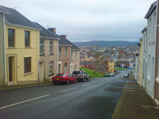
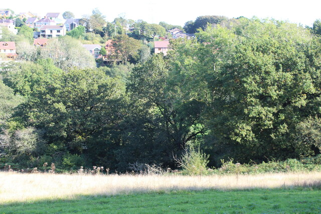
Ty'r Fran is a small village situated in the county of Carmarthenshire, Wales. Nestled in the picturesque countryside, it is surrounded by rolling green hills and offers stunning views of the surrounding landscape. The village is located approximately 10 miles northeast of Carmarthen, the county town.

Ty'r Fran has a rich history dating back centuries. The name of the village translates to "House of the Crow" in English, reflecting the area's connection to nature and wildlife. The village is known for its traditional Welsh charm, with many quaint cottages and stone buildings that have stood the test of time.

Despite its small size, Ty'r Fran has a strong sense of community. The village is home to a close-knit population who take pride in their surroundings and their Welsh heritage. The local community organizes various events throughout the year, including festivals and fairs, to celebrate the village's culture and traditions.

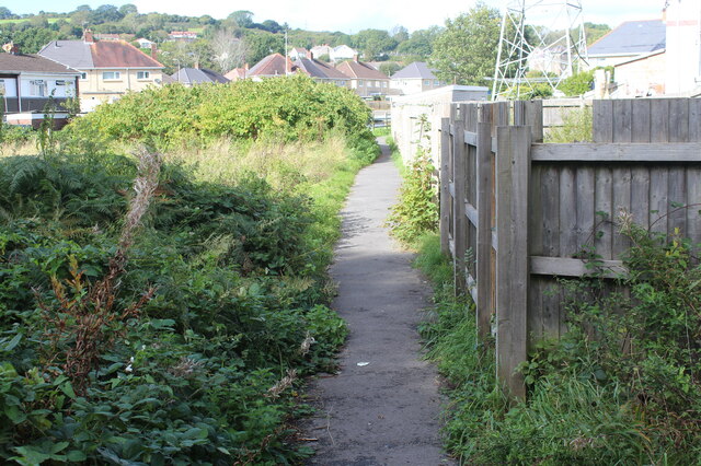
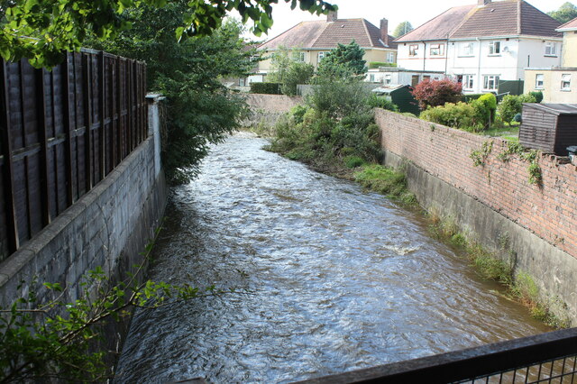
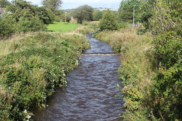
The surrounding area offers a range of outdoor activities for nature enthusiasts. The nearby Brechfa Forest is a popular destination for hiking, cycling, and horse riding, with its extensive network of trails. Additionally, the River Tywi flows nearby, providing opportunities for fishing and boating.

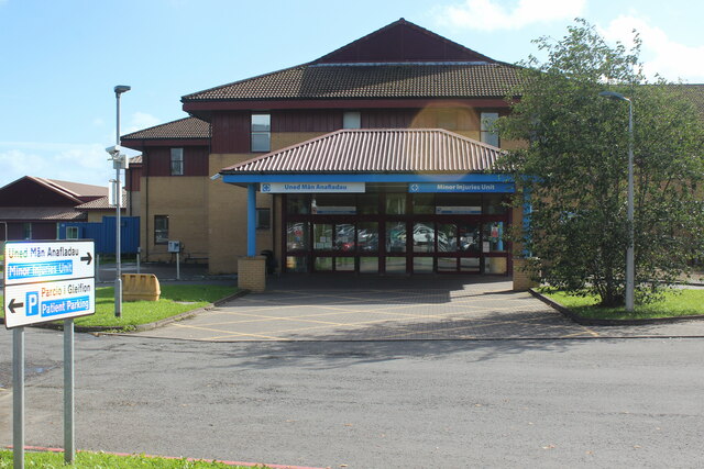
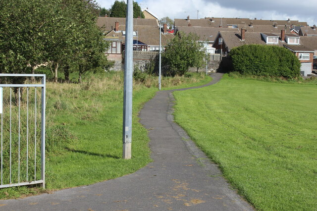
While Ty'r Fran may not have many amenities within the village itself, its proximity to larger towns and cities ensures that residents have access to essential services and facilities. The village's peaceful and idyllic setting makes it an attractive place for those seeking a tranquil rural lifestyle in the heart of Wales.

If you have any feedback on the listing, please let us know in the comments section below.
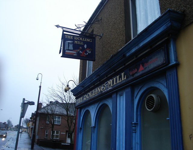
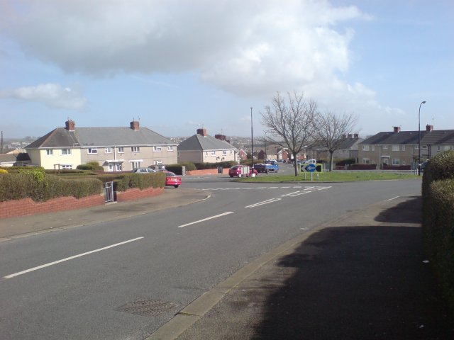
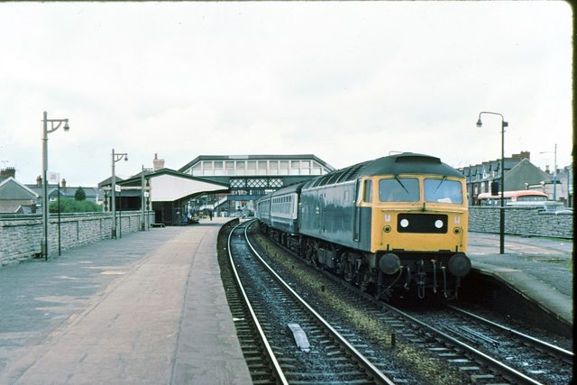
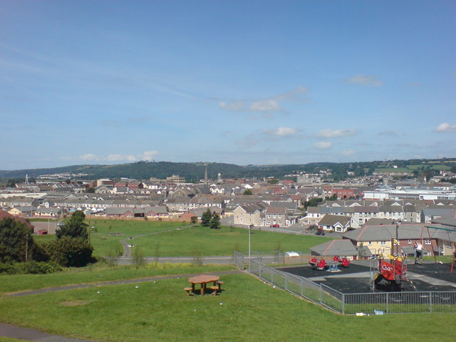
Ty'r fran Images

Images are sourced within 2km of 51.691522/-4.154971 or Grid Reference SN5101. Thanks to Geograph Open Source API. All images are credited.

Rolling Mill, Llanelli
Pen-Y-Fan, Llanelli The area of Pen-Y-Fan used to be a large estate of council houses, however most of the houses are today owned by their occupiers.
Pen-Y-Fan, Llanelli
The area of Pen-Y-Fan used to be a large estate of council houses, however most of the houses are today owned by their occupiers.
Llanelli station 1979
Park near Bigyn School Superb views over Llanelli. My mother was a pupil at the old Victorian Bigyn school in the late 40's early 50's and remembers the landscape below being very different. Everywhere you looked there were industrial chimney stacks to remind you of what an industrial town looked like. Times change.
Park near Bigyn School
Superb views over Llanelli. My mother was a pupil at the old Victorian Bigyn school in the late 40's early 50's and remembers the landscape below being very different. Everywhere you looked there were industrial chimney stacks to remind you of what an industrial town looked like. Times change.
Down Prendergast Street Running parallel with Bigyn Hill. Numbers 8 to 14 visible on the left. Stradey Woods visible in the far distance.
The name Prendergast is Flemish in origin and is believed to come from the 'lost' Norman/Flemish village of Brontegeest. It came to Britain with a follower of Duke William after the conquest who was given lands near Haverfordwest.
Down Prendergast Street
Running parallel with Bigyn Hill. Numbers 8 to 14 visible on the left. Stradey Woods visible in the far distance. The name Prendergast is Flemish in origin and is believed to come from the 'lost' Norman/Flemish village of Brontegeest. It came to Britain with a follower of Duke William after the conquest who was given lands near Haverfordwest.
New development at Parc Trostre M+S - one of many big names that have followed the national trend of vacating the town centres without a backward glance. Parc Trostre is the new Llanelli. Luckily the 'old' Llanelli seems to be holding strong, but has definitely acquired a slightly different feel since the exodus took hold.
New development at Parc Trostre
M+S - one of many big names that have followed the national trend of vacating the town centres without a backward glance. Parc Trostre is the new Llanelli. Luckily the 'old' Llanelli seems to be holding strong, but has definitely acquired a slightly different feel since the exodus took hold.
Minor Injuries Unit, Prince Philip Hospital
Track opposite Ysgol y Felin, Llanelli A public footpath runs on the gravel track opposite the school.
Track opposite Ysgol y Felin, Llanelli
A public footpath runs on the gravel track opposite the school.
Footpath to Heol Daniel, Llanelli Path between Afon Lliedi and gardens.
Footpath to Heol Daniel, Llanelli
Path between Afon Lliedi and gardens.
Afon Lliedi behind Maeswerdd River in spate downstream from footbridge.
Afon Lliedi behind Maeswerdd
River in spate downstream from footbridge.
Public footpath to Brynsiriol Path on the edge of Llanerch & Penygaer Playing Field; viewed from end of footbridge.
Public footpath to Brynsiriol
Path on the edge of Llanerch & Penygaer Playing Field; viewed from end of footbridge.
Afon Lliedi above road bridge, Heol Goffa Urban river between grassland by Rhydyrafon and Llanerch & Penygaer Playing Field, right.
Afon Lliedi above road bridge, Heol Goffa
Urban river between grassland by Rhydyrafon and Llanerch & Penygaer Playing Field, right.
Afon Lleidi near Andrew Street Looking upstream from footpath at the northern end of Andrew Street.
Afon Lleidi near Andrew Street
Looking upstream from footpath at the northern end of Andrew Street.
Long Row, Felinfoel Minor road below former railway bridge.
Long Row, Felinfoel
Minor road below former railway bridge.
View across Swiss Valley, Felinfoel View from Swiss Valley Trail cycle track.
View across Swiss Valley, Felinfoel
View from Swiss Valley Trail cycle track.
Swiss Valley Trail cycle track, Felinfoel Cycle track on former Llanelli & Mynydd Mawr Mineral Railway.
Swiss Valley Trail cycle track, Felinfoel
Cycle track on former Llanelli & Mynydd Mawr Mineral Railway.
Tower and dam, Cwm Lleidi Reservoir
Cycle track and former tramroad The route of the former Carmarthenshire Tramroad left the cycle track (former railway trackbed) to veer right at the concrete posts. The horse tramroad operated from 1803 to 1830 and was the earliest operating public railway. The concrete posts mark where a footpath crossed from one side of the former railway to the other.
Cycle track and former tramroad
The route of the former Carmarthenshire Tramroad left the cycle track (former railway trackbed) to veer right at the concrete posts. The horse tramroad operated from 1803 to 1830 and was the earliest operating public railway. The concrete posts mark where a footpath crossed from one side of the former railway to the other.
Show me another place!

Ty'r fran is located at Grid Ref: SN5101 (Lat: 51.691522, Lng: -4.154971)

Unitary Authority: Carmarthenshire

Police Authority: Dyfed Powys

What 3 Words

///booth.that.scarf. Near Llanelli, Carmarthenshire

Nearby Locations

Llanerch Ty'r fran Tyrfran

Related Wikis

Lliedi (electoral ward)

Lliedi is an electoral ward for Llanelli Town Council and Carmarthenshire County Council in Llanelli, Wales. The ward is in the far north of Llanelli...
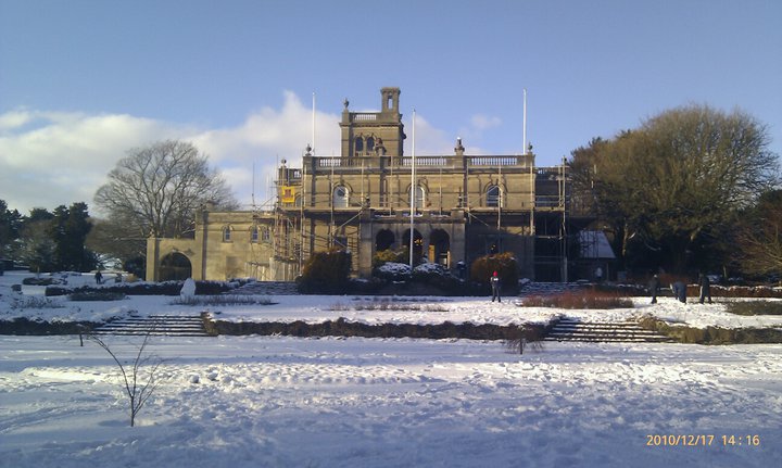
Parc Howard Museum

Parc Howard Museum & Art Gallery is a museum in a 19th-century Italianate country house, situated in 24 acres (9.7 ha) of parkland, north of the town centre...

Furnace, Carmarthenshire

Furnace (Welsh: Ffwrnes) is a village near the town of Llanelli in the county of Carmarthenshire, Wales. Furnace is named after the furnace built by Alexander...

Zion Baptist Chapel, Llanelli

Zion or Seion Baptist Chapel is a Baptist chapel in the town of Llanelli, Carmarthenshire, Wales. It was built in 1857 and is located at Island Place,...

Related Videos

Nearby Amenities

Located within 500m of 51.691522,-4.154971
Mini Roundabout
Direction: clockwise
Lat/Long: 51.6885727/-4.1498108
Power: tower
Lat/Long: 51.6943578/-4.1494392
Power: tower
Lat/Long: 51.6943999/-4.1522912
Power: tower
Lat/Long: 51.6944437/-4.156315
Power: tower
Lat/Long: 51.6945132/-4.1596129
Turning Circle
Lat/Long: 51.6909727/-4.151383
Turning Circle
Lat/Long: 51.6899635/-4.1540958
Turning Circle
Lat/Long: 51.6912739/-4.1597058
Llanerch
Place: locality
Lat/Long: 51.6889466/-4.1527016
Tyrfran
Place: suburb
Lat/Long: 51.6919562/-4.1529803
Turning Circle
Lat/Long: 51.6945029/-4.1499519
Turning Circle
Lat/Long: 51.6893363/-4.1547421
Turning Circle
Lat/Long: 51.6891427/-4.1567643
Turning Circle
Lat/Long: 51.6928176/-4.1564502
Barrier: cycle_barrier
Lat/Long: 51.6928996/-4.1562428
Crossing
Crossing: uncontrolled
Crossing Markings: yes
Lat/Long: 51.6920306/-4.1557623
Waste Basket
Lat/Long: 51.6928189/-4.1593711
Leisure: picnic_table
Lat/Long: 51.689136/-4.1609733
Direction: 145
Generator Method: photovoltaic
Generator Output Electricity: yes
Generator Solar Modules: 14
Generator Source: solar
Generator Type: solar_photovoltaic_panel
Location: roof
Power: generator
Lat/Long: 51.6955333/-4.1536538
Direction: 145
Generator Method: photovoltaic
Generator Output Electricity: yes
Generator Solar Modules: 14
Generator Source: solar
Generator Type: solar_photovoltaic_panel
Location: roof
Power: generator
Lat/Long: 51.6954706/-4.155415
Direction: 125
Generator Method: photovoltaic
Generator Output Electricity: yes
Generator Solar Modules: 8
Generator Source: solar
Generator Type: solar_photovoltaic_panel
Location: roof
Power: generator
Lat/Long: 51.689492/-4.1502165
Direction: SW
Generator Method: photovoltaic
Generator Output Electricity: yes
Generator Solar Modules: 9
Generator Source: solar
Generator Type: solar_photovoltaic_panel
Location: roof
Power: generator
Lat/Long: 51.6897462/-4.153489
Direction: SE
Generator Method: photovoltaic
Generator Output Electricity: yes
Generator Solar Modules: 3
Generator Source: solar
Generator Type: solar_photovoltaic_panel
Location: roof
Power: generator
Lat/Long: 51.6897337/-4.1534334
Direction: SW
Generator Method: photovoltaic
Generator Output Electricity: yes
Generator Solar Modules: 6
Generator Source: solar
Generator Type: solar_photovoltaic_panel
Location: roof
Power: generator
Lat/Long: 51.6900602/-4.1537707
Direction: SE
Generator Method: photovoltaic
Generator Output Electricity: yes
Generator Solar Modules: 6
Generator Source: solar
Generator Type: solar_photovoltaic_panel
Location: roof
Power: generator
Lat/Long: 51.6900312/-4.1537169
Direction: 150
Generator Method: photovoltaic
Generator Output Electricity: yes
Generator Solar Modules: 14
Generator Source: solar
Generator Type: solar_photovoltaic_panel
Location: roof
Power: generator
Lat/Long: 51.6928985/-4.1517181
Direction: SE
Generator Method: photovoltaic
Generator Output Electricity: yes
Generator Solar Modules: 12
Generator Source: solar
Generator Type: solar_photovoltaic_panel
Location: roof
Power: generator
Lat/Long: 51.6925081/-4.1499626
Direction: SSE
Generator Method: photovoltaic
Generator Output Electricity: yes
Generator Solar Modules: 12
Generator Source: solar
Generator Type: solar_photovoltaic_panel
Location: roof
Power: generator
Lat/Long: 51.6943817/-4.1505962
Direction: 265
Generator Method: photovoltaic
Generator Output Electricity: yes
Generator Solar Modules: 2
Generator Source: solar
Generator Type: solar_photovoltaic_panel
Location: roof
Power: generator
Lat/Long: 51.690964/-4.1583519
Direction: 175
Generator Method: photovoltaic
Generator Output Electricity: yes
Generator Solar Modules: 7
Generator Source: solar
Generator Type: solar_photovoltaic_panel
Location: roof
Power: generator
Lat/Long: 51.6909859/-4.1583829
Direction: WSW
Generator Method: photovoltaic
Generator Output Electricity: yes
Generator Solar Modules: 3
Generator Source: solar
Generator Type: solar_photovoltaic_panel
Location: roof
Power: generator
Lat/Long: 51.690921/-4.159103
Direction: WSW
Generator Method: photovoltaic
Generator Output Electricity: yes
Generator Solar Modules: 4
Generator Source: solar
Generator Type: solar_photovoltaic_panel
Location: roof
Power: generator
Lat/Long: 51.6908311/-4.1590338
Direction: SSE
Generator Method: photovoltaic
Generator Output Electricity: yes
Generator Solar Modules: 7
Generator Source: solar
Generator Type: solar_photovoltaic_panel
Location: roof
Power: generator
Lat/Long: 51.6908833/-4.1590113
Direction: SSE
Generator Method: photovoltaic
Generator Output Electricity: yes
Generator Solar Modules: 8
Generator Source: solar
Generator Type: solar_photovoltaic_panel
Location: roof
Power: generator
Lat/Long: 51.6908258/-4.1592727
Direction: 35
Generator Method: photovoltaic
Generator Output Electricity: yes
Generator Solar Modules: 4
Generator Source: solar
Generator Type: solar_photovoltaic_panel
Location: roof
Power: generator
Lat/Long: 51.6895346/-4.1502142
Speed Camera
Direction: 45
Maxspeed: 30 mph
Lat/Long: 51.6946815/-4.1515666
Direction: WSW
Generator Method: photovoltaic
Generator Output Electricity: yes
Generator Source: solar
Generator Type: solar_photovoltaic_panel
Location: roof
Power: generator
Lat/Long: 51.6919758/-4.1492639
Direction: SW
Generator Method: photovoltaic
Generator Output Electricity: yes
Generator Solar Modules: 9
Generator Source: solar
Generator Type: solar_photovoltaic_panel
Location: roof
Power: generator
Lat/Long: 51.6905803/-4.1539016
Street Lamp
Lat/Long: 51.6882692/-4.1515507
Street Lamp
Lat/Long: 51.688188/-4.1519189
Street Lamp
Lat/Long: 51.6883548/-4.1511355
Street Lamp
Lat/Long: 51.6884352/-4.1507257
Street Lamp
Lat/Long: 51.6885047/-4.150379
Street Lamp
Lat/Long: 51.6881036/-4.1523223
Street Lamp
Lat/Long: 51.6881905/-4.1524486
Street Lamp
Lat/Long: 51.6885644/-4.1522289
Street Lamp
Lat/Long: 51.6884146/-4.1500679
Street Lamp
Lat/Long: 51.6872068/-4.1533742
Street Lamp
Lat/Long: 51.6873899/-4.1526072
Street Lamp
Lat/Long: 51.6875087/-4.1530531
Street Lamp
Lat/Long: 51.6888784/-4.1502629
Street Lamp
Lat/Long: 51.6896333/-4.1489202
Direction: SE
Generator Method: photovoltaic
Generator Output Electricity: yes
Generator Source: solar
Generator Type: solar_photovoltaic_panel
Location: roof
Power: generator
Lat/Long: 51.6937254/-4.1539421
Post Box
Royal Cypher: GR
Lat/Long: 51.689928/-4.15735
Post Box
Post Box Type: lamp
Royal Cypher: EIIR
Lat/Long: 51.692545/-4.155542
Bus Stop
Warner Place
Bus: yes
Naptan AtcoCode: 5220CMX16897
Naptan NaptanCode: crmdjat
Public Transport: platform
Lat/Long: 51.6917608/-4.1506358
Bus Stop
Warner Place
Bus: yes
Naptan AtcoCode: 5220AWG60499
Naptan NaptanCode: crmdjmg
Public Transport: platform
Lat/Long: 51.6918776/-4.1504404
Turning Circle
Lat/Long: 51.68957/-4.1534773
The data included in this document is from www.openstreetmap.org. The data is made available under ODbL.

Have you been to Ty'r fran?

Leave your review of Ty'r fran below (or comments, questions and feedback).