Llanerch

Settlement in Carmarthenshire

Wales

Llanerch

New development Llanelli It's always nice to see new developments with character. 
This one is in Llanelli.
New development Llanelli Credit: Dara Jasumani

Llanerch is a small village located in the county of Carmarthenshire, Wales. It is situated in the scenic Tywi Valley, surrounded by rolling hills and lush countryside. The village is located about 5 miles north of the town of Ammanford and approximately 15 miles east of the county's administrative center, Carmarthen.

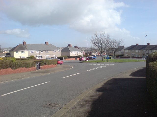
Llanerch is a quiet and close-knit community, known for its rural charm and peaceful atmosphere. The village is predominantly residential, with a few local amenities such as a church, a primary school, and a village hall. The village hall serves as a gathering place for various community events and activities.

The surrounding countryside offers plenty of opportunities for outdoor recreation, with numerous walking trails and nature reserves nearby. The village is also conveniently located for those who enjoy fishing, as the River Tywi flows close by.

Llanerch is well-connected to the rest of Carmarthenshire and the wider region. The A483 road runs through the village, providing easy access to nearby towns and cities. The village also benefits from regular bus services, connecting it to Ammanford, Carmarthen, and other nearby communities.

With its picturesque setting, peaceful ambiance, and convenient location, Llanerch offers a desirable place to live for those seeking a rural lifestyle within easy reach of essential amenities.

If you have any feedback on the listing, please let us know in the comments section below.
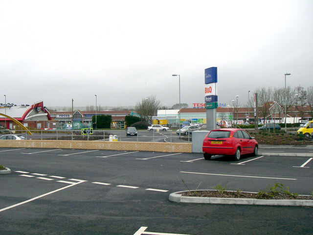
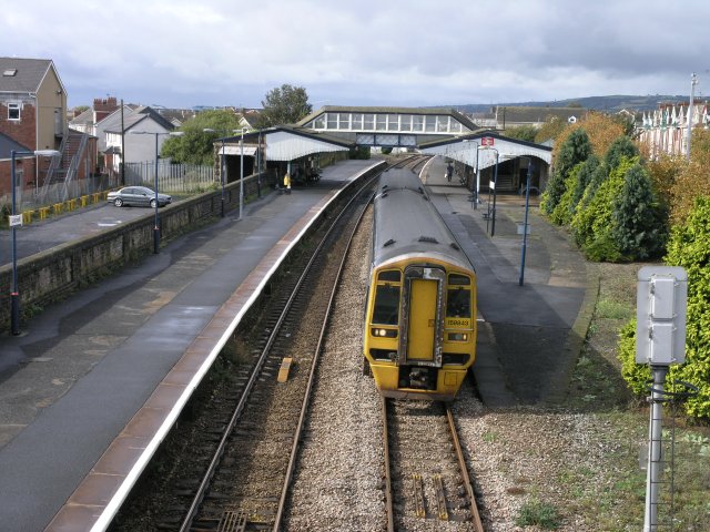
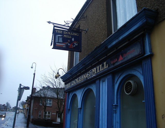
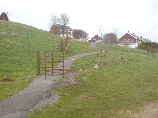
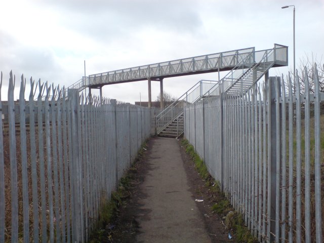
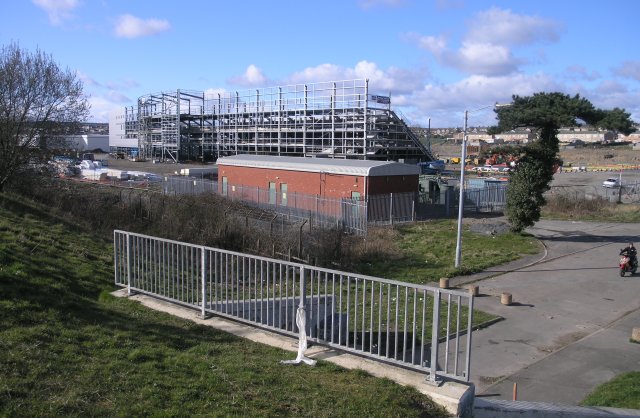
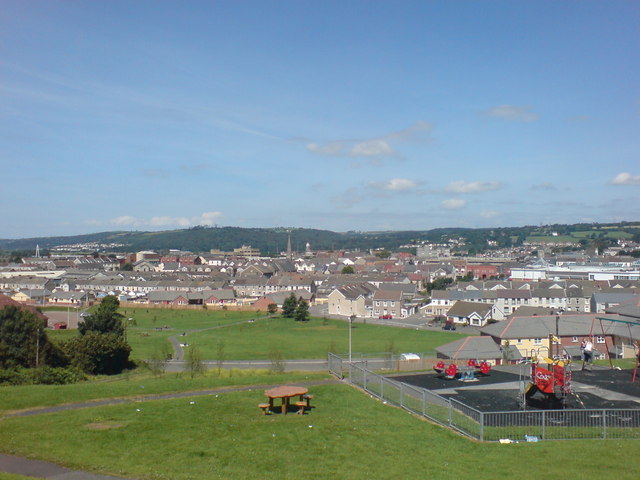
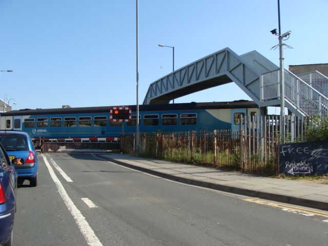
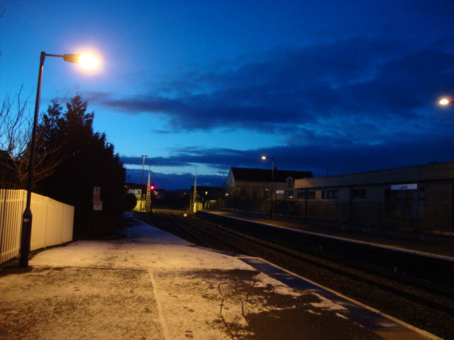
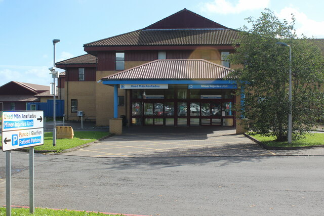
Llanerch Images

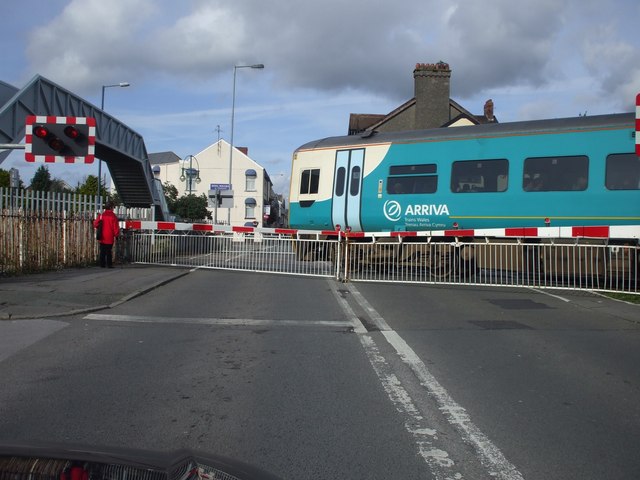
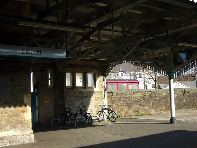
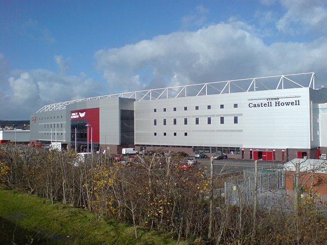
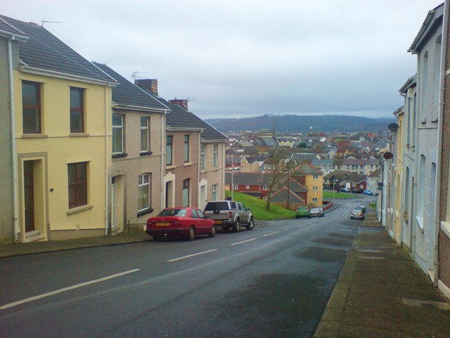
Images are sourced within 2km of 51.688955/-4.1505055 or Grid Reference SN5101. Thanks to Geograph Open Source API. All images are credited.

New development Llanelli It's always nice to see new developments with character. 
This one is in Llanelli.
New development Llanelli
It's always nice to see new developments with character. This one is in Llanelli.
Llanelli Station Llanelli station on the "South Wales" line, one of the only lines to have survived the cull of the railways in the 1950s.  This is the mainline to London (via Swansea) and is also part of the "Heart Of Wales" line to Shrewsbury, which also runs from Swansea.
Llanelli Station
Llanelli station on the "South Wales" line, one of the only lines to have survived the cull of the railways in the 1950s. This is the mainline to London (via Swansea) and is also part of the "Heart Of Wales" line to Shrewsbury, which also runs from Swansea.
Rolling Mill, Llanelli
Pen-Y-Fan, Llanelli The area of Pen-Y-Fan used to be a large estate of council houses, however most of the houses are today owned by their occupiers.
Pen-Y-Fan, Llanelli
The area of Pen-Y-Fan used to be a large estate of council houses, however most of the houses are today owned by their occupiers.
Pointless kissing gate There were three identical kissing kates is sequence along the main path here.  today, they seem utterly pointless, but there was some evidence of some form of boundary there at one time.

Years ago, I'm told that this area was known as Rocky Path - but these days the path is paved and a recognised cycle route.
Pointless kissing gate
There were three identical kissing kates is sequence along the main path here. today, they seem utterly pointless, but there was some evidence of some form of boundary there at one time. Years ago, I'm told that this area was known as Rocky Path - but these days the path is paved and a recognised cycle route.
Footbridge over the West Wales railway line With a children's park and several public footpaths converging nearby, you get the impression they REALLY don't want people trespassing on the railway line around here.
Footbridge over the West Wales railway line
With a children's park and several public footpaths converging nearby, you get the impression they REALLY don't want people trespassing on the railway line around here.
New stadium, under construction Currently being built, this is the construction site for the new rugby stadium in the Trostre area of Llanelli. Soon to be the new home for the Llanelli Scarlets.
New stadium, under construction
Currently being built, this is the construction site for the new rugby stadium in the Trostre area of Llanelli. Soon to be the new home for the Llanelli Scarlets.
Llanelli station 1979
Park near Bigyn School Superb views over Llanelli. My mother was a pupil at the old Victorian Bigyn school in the late 40's early 50's and remembers the landscape below being very different. Everywhere you looked there were industrial chimney stacks to remind you of what an industrial town looked like. Times change.
Park near Bigyn School
Superb views over Llanelli. My mother was a pupil at the old Victorian Bigyn school in the late 40's early 50's and remembers the landscape below being very different. Everywhere you looked there were industrial chimney stacks to remind you of what an industrial town looked like. Times change.
Level crossing, Llanelli
Bikes at the station Bicycle racks for Swansea commuters. The station is mostly unstaffed.
Bikes at the station
Bicycle racks for Swansea commuters. The station is mostly unstaffed.
Parc y Scarlets This is the brand new stadium, Parc Y Scarlets, the new home for The Scarlets rugby team and  Llanelli's Rugby Football Team.  Taken only 4 days before the first match is to be played there against Cardiff RFC.

Unlike most modern new stadiums, the management resisted corporate sponsorship in naming the stadium, electing to name the stadium after Llanelli RFC's nickname.

The Scarlets and Llanelli Rugby Football Club are now 2 distinct teams, though they both bear the same historic root.
Parc y Scarlets
This is the brand new stadium, Parc Y Scarlets, the new home for The Scarlets rugby team and Llanelli's Rugby Football Team. Taken only 4 days before the first match is to be played there against Cardiff RFC. Unlike most modern new stadiums, the management resisted corporate sponsorship in naming the stadium, electing to name the stadium after Llanelli RFC's nickname. The Scarlets and Llanelli Rugby Football Club are now 2 distinct teams, though they both bear the same historic root.
Down Prendergast Street Running parallel with Bigyn Hill. Numbers 8 to 14 visible on the left. Stradey Woods visible in the far distance.
The name Prendergast is Flemish in origin and is believed to come from the 'lost' Norman/Flemish village of Brontegeest. It came to Britain with a follower of Duke William after the conquest who was given lands near Haverfordwest.
Down Prendergast Street
Running parallel with Bigyn Hill. Numbers 8 to 14 visible on the left. Stradey Woods visible in the far distance. The name Prendergast is Flemish in origin and is believed to come from the 'lost' Norman/Flemish village of Brontegeest. It came to Britain with a follower of Duke William after the conquest who was given lands near Haverfordwest.
New development at Parc Trostre M+S - one of many big names that have followed the national trend of vacating the town centres without a backward glance. Parc Trostre is the new Llanelli. Luckily the 'old' Llanelli seems to be holding strong, but has definitely acquired a slightly different feel since the exodus took hold.
New development at Parc Trostre
M+S - one of many big names that have followed the national trend of vacating the town centres without a backward glance. Parc Trostre is the new Llanelli. Luckily the 'old' Llanelli seems to be holding strong, but has definitely acquired a slightly different feel since the exodus took hold.
Level crossing and footbridge
Parc-Y-Scarlets Stadium New Home of Llanelli Rugby Club
Parc-Y-Scarlets Stadium
New Home of Llanelli Rugby Club
A cold, snowy station The waiting rooms closed and the train late - oh joy!
A cold, snowy station
The waiting rooms closed and the train late - oh joy!
Minor Injuries Unit, Prince Philip Hospital
Show me another place!

Llanerch is located at Grid Ref: SN5101 (Lat: 51.688955, Lng: -4.1505055)

Unitary Authority: Carmarthenshire

Police Authority: Dyfed Powys

What 3 Words

///track.beam.code. Near Llanelli, Carmarthenshire

Nearby Locations

Tyrfran Ty'r fran Llanerch

Related Wikis

Lliedi (electoral ward)

Lliedi is an electoral ward for Llanelli Town Council and Carmarthenshire County Council in Llanelli, Wales. The ward is in the far north of Llanelli...

Stebonheath Park

Stebonheath Park (Welsh: Parc Stebonheath) is a multi-use stadium in Llanelli, West Wales with a capacity of 3,700. It is primarily used as a football...

St Alban's Church, Llanelli

St Alban's Church Was an Anglican church in the town of Llanelli, Carmarthenshire, Wales. It was built between 1911 and 1915 and is located prominently...
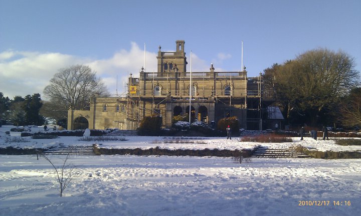
Parc Howard Museum

Parc Howard Museum & Art Gallery is a museum in a 19th-century Italianate country house, situated in 24 acres (9.7 ha) of parkland, north of the town centre...

Nearby Amenities

Located within 500m of 51.688955,-4.1505055
Mini Roundabout
Lat/Long: 51.6878193/-4.1486413
Mini Roundabout
Direction: clockwise
Lat/Long: 51.6885727/-4.1498108
Turning Circle
Lat/Long: 51.6909727/-4.151383
Turning Circle
Lat/Long: 51.6899635/-4.1540958
Llanerch
Place: locality
Lat/Long: 51.6889466/-4.1527016
Tyrfran
Place: suburb
Lat/Long: 51.6919562/-4.1529803
Turning Circle
Lat/Long: 51.6893363/-4.1547421
Turning Circle
Lat/Long: 51.6891427/-4.1567643
Crossing
Crossing: uncontrolled
Crossing Markings: yes
Lat/Long: 51.6920306/-4.1557623
Turning Circle
Lat/Long: 51.6857804/-4.1471028
Bus Stop
Brynamlwg
Bus: yes
Naptan AtcoCode: 5220AWG60444
Naptan NaptanCode: crmgjmj
Public Transport: platform
Lat/Long: 51.6858573/-4.1456569
Bus Stop
Bryntirion Hospital
Bus: yes
Naptan AtcoCode: 5220AWG60447
Naptan NaptanCode: crmgjaj
Operator: First Cymru
Public Transport: platform
Shelter: yes
Lat/Long: 51.6859281/-4.1508794
Bus Stop
Bryntirion Hospital
Bus: yes
Naptan AtcoCode: 5220AWG60446
Naptan NaptanCode: crmgjag
Public Transport: platform
Lat/Long: 51.6856264/-4.1500342
Barrier: bollard
Lat/Long: 51.6863206/-4.1475835
Barrier: bollard
Lat/Long: 51.6863206/-4.1475244
Bus Stop
Andrew Street
Bus: yes
Naptan AtcoCode: 5220AWG60448
Naptan NaptanCode: crmamja
Operator: First Cymru
Public Transport: platform
Shelter: yes
Lat/Long: 51.6854177/-4.1543668
Crossing
Lat/Long: 51.6885572/-4.147334
Crossing
Lat/Long: 51.6885569/-4.1472406
Restaurant
The Star
Lat/Long: 51.6864402/-4.1484699
Give Way
Source: Bing
Lat/Long: 51.6850451/-4.152594
Give Way
Lat/Long: 51.6848733/-4.1510418
Give Way
Source: Bing
Lat/Long: 51.6853627/-4.1515368
Give Way
Lat/Long: 51.6849847/-4.1511031
Traffic Calming: yes
Lat/Long: 51.6859966/-4.1464805
Crossing
Crossing: uncontrolled
Lat/Long: 51.6879652/-4.1488558
Waste Basket
Lat/Long: 51.6848679/-4.147654
Direction: 125
Generator Method: photovoltaic
Generator Output Electricity: yes
Generator Solar Modules: 8
Generator Source: solar
Generator Type: solar_photovoltaic_panel
Location: roof
Power: generator
Lat/Long: 51.689492/-4.1502165
Direction: SW
Generator Method: photovoltaic
Generator Output Electricity: yes
Generator Solar Modules: 9
Generator Source: solar
Generator Type: solar_photovoltaic_panel
Location: roof
Power: generator
Lat/Long: 51.6897462/-4.153489
Direction: SE
Generator Method: photovoltaic
Generator Output Electricity: yes
Generator Solar Modules: 3
Generator Source: solar
Generator Type: solar_photovoltaic_panel
Location: roof
Power: generator
Lat/Long: 51.6897337/-4.1534334
Direction: SW
Generator Method: photovoltaic
Generator Output Electricity: yes
Generator Solar Modules: 6
Generator Source: solar
Generator Type: solar_photovoltaic_panel
Location: roof
Power: generator
Lat/Long: 51.6900602/-4.1537707
Direction: SE
Generator Method: photovoltaic
Generator Output Electricity: yes
Generator Solar Modules: 6
Generator Source: solar
Generator Type: solar_photovoltaic_panel
Location: roof
Power: generator
Lat/Long: 51.6900312/-4.1537169
Direction: 150
Generator Method: photovoltaic
Generator Output Electricity: yes
Generator Solar Modules: 14
Generator Source: solar
Generator Type: solar_photovoltaic_panel
Location: roof
Power: generator
Lat/Long: 51.6928985/-4.1517181
Direction: SE
Generator Method: photovoltaic
Generator Output Electricity: yes
Generator Solar Modules: 12
Generator Source: solar
Generator Type: solar_photovoltaic_panel
Location: roof
Power: generator
Lat/Long: 51.6925081/-4.1499626
Direction: SSE
Generator Method: photovoltaic
Generator Output Electricity: yes
Generator Solar Modules: 8
Generator Source: solar
Generator Type: solar_photovoltaic_panel
Location: roof
Power: generator
Lat/Long: 51.6847282/-4.1481623
Direction: 235
Generator Method: photovoltaic
Generator Output Electricity: yes
Generator Solar Modules: 4
Generator Source: solar
Generator Type: solar_photovoltaic_panel
Location: roof
Power: generator
Lat/Long: 51.6847927/-4.1482379
Direction: 145
Generator Method: photovoltaic
Generator Output Electricity: yes
Generator Solar Modules: 10
Generator Source: solar
Generator Type: solar_photovoltaic_panel
Location: roof
Power: generator
Lat/Long: 51.6847799/-4.1515924
Direction: 125
Generator Method: photovoltaic
Generator Output Electricity: yes
Generator Solar Modules: 6
Generator Source: solar
Generator Type: solar_photovoltaic_panel
Location: roof
Power: generator
Lat/Long: 51.6873156/-4.1470553
Direction: 215
Generator Method: photovoltaic
Generator Output Electricity: yes
Generator Solar Modules: 6
Generator Source: solar
Generator Type: solar_photovoltaic_panel
Location: roof
Power: generator
Lat/Long: 51.687312/-4.1471186
Direction: 125
Generator Method: photovoltaic
Generator Output Electricity: yes
Generator Solar Modules: 8
Generator Source: solar
Generator Type: solar_photovoltaic_panel
Location: roof
Power: generator
Lat/Long: 51.6870706/-4.1473201
Direction: 35
Generator Method: photovoltaic
Generator Output Electricity: yes
Generator Solar Modules: 4
Generator Source: solar
Generator Type: solar_photovoltaic_panel
Location: roof
Power: generator
Lat/Long: 51.6895346/-4.1502142
Direction: 145
Generator Method: photovoltaic
Generator Output Electricity: yes
Generator Solar Modules: 7
Generator Source: solar
Generator Type: solar_photovoltaic_panel
Location: roof
Power: generator
Lat/Long: 51.6864414/-4.1559419
Direction: 145
Generator Method: photovoltaic
Generator Output Electricity: yes
Generator Solar Modules: 7
Generator Source: solar
Generator Type: solar_photovoltaic_panel
Location: roof
Power: generator
Lat/Long: 51.6864662/-4.1559673
Crossing
Bicycle: yes
Crossing: marked
Crossing Markings: yes
Lat/Long: 51.6864582/-4.1482684
Street Lamp
Lat/Long: 51.6844649/-4.1502221
Street Lamp
Lat/Long: 51.6856617/-4.1490267
Street Lamp
Lat/Long: 51.6857533/-4.1500311
Street Lamp
Lat/Long: 51.6858393/-4.1505148
Street Lamp
Lat/Long: 51.6859019/-4.1507433
Street Lamp
Lat/Long: 51.6859464/-4.1510993
Street Lamp
Lat/Long: 51.6859847/-4.1514406
Street Lamp
Lat/Long: 51.686015/-4.1518141
Street Lamp
Lat/Long: 51.6860312/-4.1521796
Street Lamp
Lat/Long: 51.6860133/-4.1525578
Street Lamp
Lat/Long: 51.6859786/-4.1529246
Street Lamp
Lat/Long: 51.6855411/-4.1542186
Street Lamp
Lat/Long: 51.6855698/-4.1538427
Street Lamp
Lat/Long: 51.6857751/-4.1536933
Street Lamp
Lat/Long: 51.6862782/-4.1524682
Street Lamp
Lat/Long: 51.6863376/-4.1473709
Street Lamp
Lat/Long: 51.6863535/-4.1489026
Street Lamp
Lat/Long: 51.6868443/-4.1497857
Street Lamp
Lat/Long: 51.6862676/-4.1493997
Street Lamp
Lat/Long: 51.6861472/-4.1499034
Street Lamp
Lat/Long: 51.6860088/-4.1503902
Direction: WSW
Generator Method: photovoltaic
Generator Output Electricity: yes
Generator Source: solar
Generator Type: solar_photovoltaic_panel
Location: roof
Power: generator
Lat/Long: 51.6919758/-4.1492639
Direction: SW
Generator Method: photovoltaic
Generator Output Electricity: yes
Generator Solar Modules: 9
Generator Source: solar
Generator Type: solar_photovoltaic_panel
Location: roof
Power: generator
Lat/Long: 51.6905803/-4.1539016
Street Lamp
Lat/Long: 51.6882692/-4.1515507
Street Lamp
Lat/Long: 51.688188/-4.1519189
Street Lamp
Lat/Long: 51.6883548/-4.1511355
Street Lamp
Lat/Long: 51.6884352/-4.1507257
Street Lamp
Lat/Long: 51.6885047/-4.150379
Street Lamp
Lat/Long: 51.6881036/-4.1523223
Street Lamp
Lat/Long: 51.6881905/-4.1524486
Street Lamp
Lat/Long: 51.6885644/-4.1522289
Street Lamp
Lat/Long: 51.6884146/-4.1500679
Street Lamp
Lat/Long: 51.6882778/-4.1494993
Street Lamp
Lat/Long: 51.688162/-4.1493149
Street Lamp
Lat/Long: 51.6872068/-4.1533742
Street Lamp
Lat/Long: 51.6873899/-4.1526072
Street Lamp
Lat/Long: 51.6875087/-4.1530531
Street Lamp
Lat/Long: 51.688187/-4.1480978
Street Lamp
Lat/Long: 51.6883853/-4.1477242
Street Lamp
Lat/Long: 51.6888784/-4.1502629
Street Lamp
Lat/Long: 51.6896333/-4.1489202
Street Lamp
Lat/Long: 51.6862405/-4.1543036
Street Lamp
Lat/Long: 51.6859104/-4.1532745
Street Lamp
Lat/Long: 51.6866434/-4.1541497
Street Lamp
Lat/Long: 51.6857068/-4.1549667
Street Lamp
Lat/Long: 51.6852422/-4.1543434
Street Lamp
Lat/Long: 51.6858481/-4.1513394
Andrew Street
Bus: yes
Public Transport: stop_position
Lat/Long: 51.6853671/-4.154313
Bryntirion Hospital
Bus: yes
Public Transport: stop_position
Lat/Long: 51.6858423/-4.1509176
Brynamlwg
Bus: yes
Public Transport: stop_position
Lat/Long: 51.6858104/-4.145706
Bryntirion Hospital
Bus: yes
Public Transport: stop_position
Lat/Long: 51.6856855/-4.149999
Post Box
Royal Cypher: GR
Lat/Long: 51.689928/-4.15735
Llanerch
Place: suburb
Lat/Long: 51.6878025/-4.1503627
Bus Stop
Warner Place
Bus: yes
Naptan AtcoCode: 5220CMX16897
Naptan NaptanCode: crmdjat
Public Transport: platform
Lat/Long: 51.6917608/-4.1506358
Bus Stop
Warner Place
Bus: yes
Naptan AtcoCode: 5220AWG60499
Naptan NaptanCode: crmdjmg
Public Transport: platform
Lat/Long: 51.6918776/-4.1504404
Bus Stop
Maestref
Bus: yes
Naptan AtcoCode: 5220AWG60525
Naptan NaptanCode: crmdjgt
Public Transport: platform
Lat/Long: 51.692479/-4.1472739
Bus Stop
Maestref
Bus: yes
Naptan AtcoCode: 5220AWG60524
Naptan NaptanCode: crmdjgp
Public Transport: platform
Lat/Long: 51.692867/-4.1474852
Turning Circle
Lat/Long: 51.68957/-4.1534773
The data included in this document is from www.openstreetmap.org. The data is made available under ODbL.

Have you been to Llanerch?

Leave your review of Llanerch below (or comments, questions and feedback).