Bouts

Settlement in Worcestershire Wychavon

England

Bouts

The Saltway The Saltway was built by the Romans to give them access to the deposits of salt at Droitwich Spa, salt being a very important commodity to them.
The Saltway Credit: Richard Dunn

Bouts is a small village located in the county of Worcestershire, England. It is situated approximately 6 miles northeast of the town of Redditch and 15 miles south of the city of Birmingham. The village is nestled amidst the picturesque countryside, surrounded by lush green fields and rolling hills.

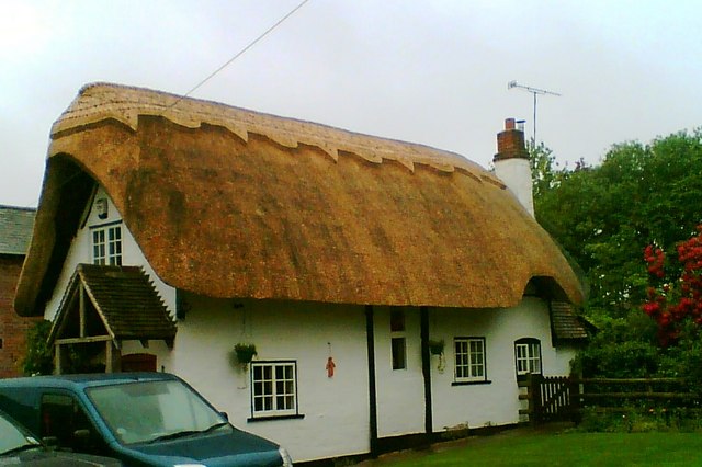
Bouts is a close-knit community with a population of around 500 residents. The village boasts a charming and peaceful atmosphere, making it an ideal place for those seeking a tranquil countryside lifestyle. The architecture in Bouts predominantly consists of traditional English cottages, showcasing the village's rich history and heritage.

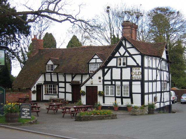
Despite its small size, Bouts has a few amenities to cater to the needs of its residents. The village is home to a local pub, which serves as a gathering place for locals and visitors alike. Additionally, there is a small convenience store providing essential groceries and daily necessities.

Nature enthusiasts can enjoy the beautiful surroundings of Bouts, as the village is situated near several walking trails and nature reserves. The nearby Arrow Valley Country Park offers a range of outdoor activities, including fishing, cycling, and birdwatching.

Bouts benefits from its proximity to larger towns and cities, making it convenient for residents to access a wider range of amenities and services. The village is well-connected with excellent transport links, including regular bus services and easy access to major road networks.

Overall, Bouts provides a peaceful and idyllic setting for those looking to escape the hustle and bustle of city life, while still having convenient access to nearby urban centers.

If you have any feedback on the listing, please let us know in the comments section below.
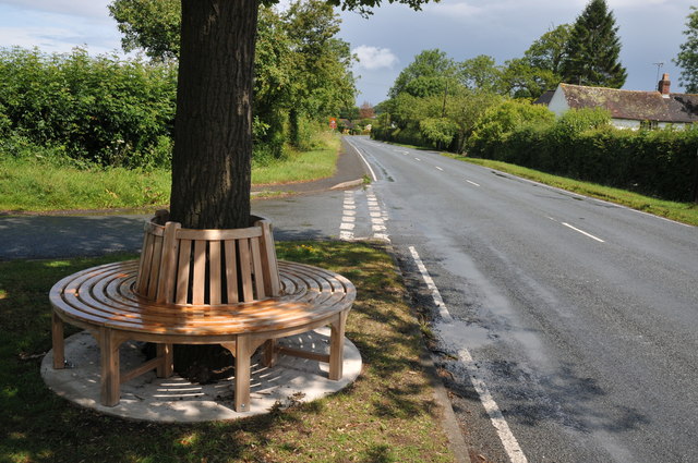
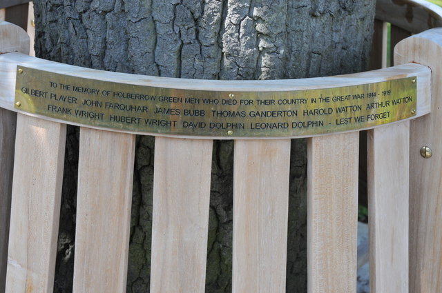
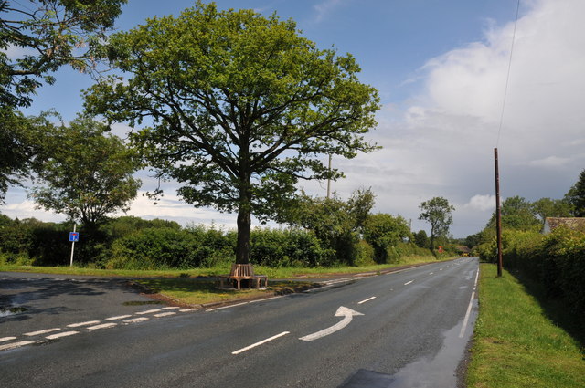
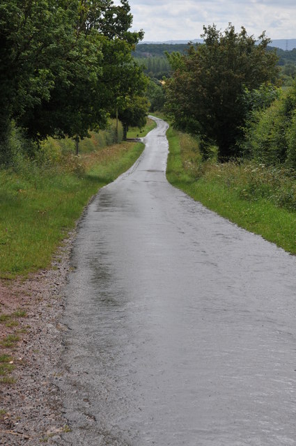
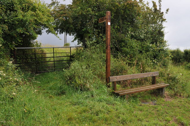
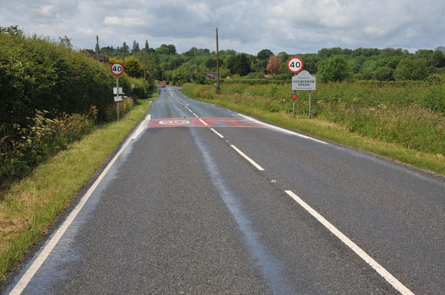
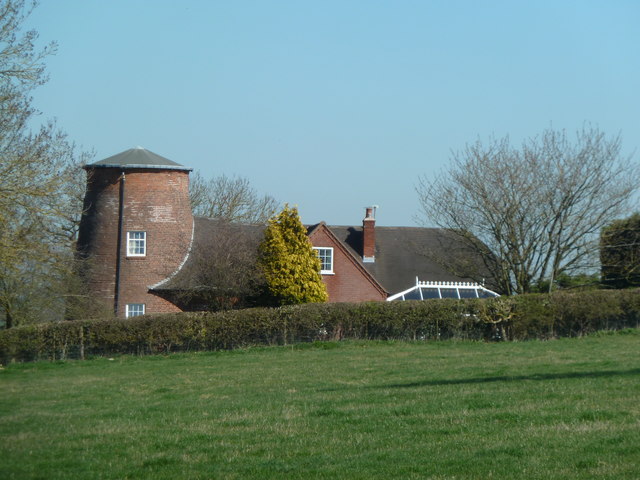
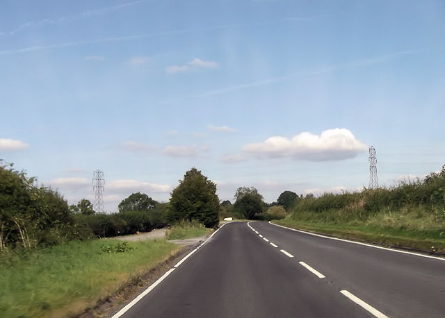
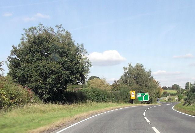
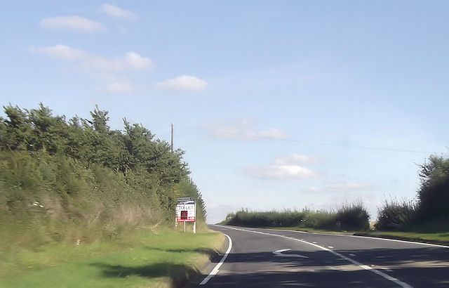
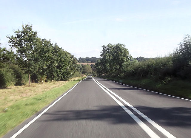
Bouts Images

Images are sourced within 2km of 52.227808/-1.955313 or Grid Reference SP0358. Thanks to Geograph Open Source API. All images are credited.

The Saltway The Saltway was built by the Romans to give them access to the deposits of salt at Droitwich Spa, salt being a very important commodity to them.
The Saltway
The Saltway was built by the Romans to give them access to the deposits of salt at Droitwich Spa, salt being a very important commodity to them.
Memorial seat, Holberrow Green A recently made memorial seat in memory of those from Holberrow Green who gave their lives in the First World War.  The seat is round the trunk of an oak tree on the junction of a no through road to Morton Hall with the B4092.
Memorial seat, Holberrow Green
A recently made memorial seat in memory of those from Holberrow Green who gave their lives in the First World War. The seat is round the trunk of an oak tree on the junction of a no through road to Morton Hall with the B4092.
Names on a memorial seat, Holberrow Green The names of the men of Holberrow Green who gave their lives in the First World War on a memorial seat.
Names on a memorial seat, Holberrow Green
The names of the men of Holberrow Green who gave their lives in the First World War on a memorial seat.
Memorial seat, Holberrow Green Memorial seat to the men of Holberrow Green who gave their lives in the First World War.
Memorial seat, Holberrow Green
Memorial seat to the men of Holberrow Green who gave their lives in the First World War.
Road past Lench Farm Country road past Lench Farm near Inkberrow.
Road past Lench Farm
Country road past Lench Farm near Inkberrow.
Footpath and seat, Inkberrow A footpath sign and convenient seat near Inkberrow.
Footpath and seat, Inkberrow
A footpath sign and convenient seat near Inkberrow.
Country road near Little Mearse Farm Country road near Little Mearse Farm near Inkberrow.
Country road near Little Mearse Farm
Country road near Little Mearse Farm near Inkberrow.
Fields of wheat Fields of wheat beside Mearse Lane near Inkberrow.
Fields of wheat
Fields of wheat beside Mearse Lane near Inkberrow.
Approaching Holberrow Green Approaching Holberrow Green on the B4092.
Approaching Holberrow Green
Approaching Holberrow Green on the B4092.
Former windmill - Holberrow Green The stump of a tower mill with attached house. There is another nearby at Inkberrow but I have yet to see that (next time perhaps).
Former windmill - Holberrow Green
The stump of a tower mill with attached house. There is another nearby at Inkberrow but I have yet to see that (next time perhaps).
A422 west of power lines The power lines can be seen. East of Inkberrow
A422 west of power lines
The power lines can be seen. East of Inkberrow
B4092 junction ahead
Priory Piece junction from A422
Long straight at Jump for Joy riding stables
Entering Inkberrow from the north
A422 just east of Little Mearse Farm entrance
A422 at Jump for Joy entrance
B4092 junction from A422
Show me another place!

Bouts is located at Grid Ref: SP0358 (Lat: 52.227808, Lng: -1.955313)

Administrative County: Worcestershire

District: Wychavon

Police Authority: West Mercia

What 3 Words

///revision.fulfilled.uplifting. Near Inkberrow, Worcestershire

Nearby Locations

Bouts

Related Wikis

Holberrow Green

Holberrow Green is a village in Worcestershire, England. == External links == Media related to Holberrow Green at Wikimedia Commons

Sporting Club Inkberrow F.C.

Sporting Club Inkberrow Football Club is a football club based in Inkberrow, England. They are currently members of the Hellenic League Division One and...

Cookhill

Cookhill is a village and civil parish in Worcestershire, England, on the county border near Alcester. It is close to a former Cistercian Priory of the...

Inkberrow Castle

Inkberrow Castle was situated in the village of Inkberrow in Worcestershire, some 10 km south of Redditch (grid reference SP017572). It was a castle built...

Inkberrow

Inkberrow is a village in Worcestershire, England, often thought to be the model for Ambridge, the setting of BBC Radio 4's long-running series The Archers...

Redditch (UK Parliament constituency)

Redditch is a constituency in Worcestershire, England, represented in the House of Commons of the UK Parliament since 2017 by Rachel Maclean of the Conservative...

Cookhill Priory

Cookhill Priory was a Cistercian nunnery near Cookhill in Worcestershire, England. == History == The Priory is believed to be founded by Isabel de Mauduit...

Little Inkberrow

Little Inkberrow is a village in Worcestershire, England. Ralph Ardern inherited the Worcestershire manor of Little Inkberrow between 1382 (the death...

Nearby Amenities

Located within 500m of 52.227808,-1.955313
NOTE - path goes through farmhouse back garden
Information: guidepost
Tourism: information
Lat/Long: 52.2265799/-1.9556667
Fixme: continues
Lat/Long: 52.2267504/-1.9590926
NOTE
Description: NOTE - path markers removed - path goes through gate to left of house
Information: guidepost
Tourism: information
Lat/Long: 52.2263718/-1.9568282
Power: pole
Lat/Long: 52.2294277/-1.9621032
Power: pole
Lat/Long: 52.2290192/-1.9612088
Power: pole
Lat/Long: 52.2286625/-1.960415
Power: pole
Lat/Long: 52.2254052/-1.9509146
Power: pole
Lat/Long: 52.224557/-1.950813
Power: pole
Lat/Long: 52.2294729/-1.9522261
Power: pole
Lat/Long: 52.227508/-1.957931
Power: pole
Lat/Long: 52.2279927/-1.9515896
Power: pole
Lat/Long: 52.2260285/-1.9509779
Power: pole
Lat/Long: 52.2275774/-1.9590728
Power: pole
Lat/Long: 52.2269064/-1.9595478
Power: pole
Lat/Long: 52.2273044/-1.9513028
Power: pole
Lat/Long: 52.2264115/-1.9598856
Power: pole
Lat/Long: 52.228619/-1.9518703
Power: pole
Lat/Long: 52.2266936/-1.9510453
Power: pole
Lat/Long: 52.2282693/-1.959565
Power: pole
Lat/Long: 52.2279296/-1.9588555
Little Bouts Farm
Power: pole
Transformer: distribution
Voltage Primary: 11000
Lat/Long: 52.2291778/-1.9572186
Power: pole
Lat/Long: 52.2291983/-1.9583452
Power: pole
Lat/Long: 52.2292246/-1.9597091
Power: pole
Lat/Long: 52.2252619/-1.9609684
Power: pole
Lat/Long: 52.2259848/-1.9601369
Power: pole
Lat/Long: 52.2275448/-1.9571798
Bouts
Power: pole
Transformer: distribution
Voltage Primary: 11000
Lat/Long: 52.2275719/-1.9564569
Power: pole
Lat/Long: 52.2278955/-1.9556965
Power: pole
Lat/Long: 52.2282512/-1.9548489
Power: pole
Lat/Long: 52.228372/-1.9538713
Power: pole
Lat/Long: 52.2284977/-1.9528587
Power: pole
Lat/Long: 52.2319989/-1.9533026
Power: pole
Lat/Long: 52.2312654/-1.9530029
Power: pole
Lat/Long: 52.230513/-1.9526837
Power: pole
Lat/Long: 52.2301249/-1.9525067
The data included in this document is from www.openstreetmap.org. The data is made available under ODbL.

Have you been to Bouts?

Leave your review of Bouts below (or comments, questions and feedback).