Tynehead
Settlement in Midlothian
Scotland
Tynehead
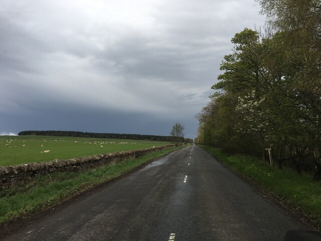
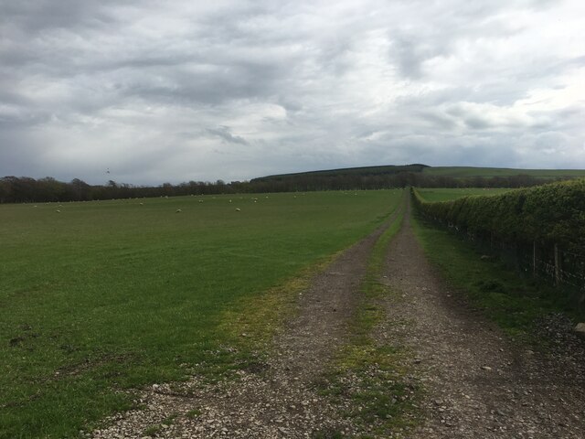
Tynehead is a small village located in the Midlothian region of Scotland. Situated approximately 10 miles south of the capital city, Edinburgh, Tynehead is nestled in a scenic area surrounded by lush green fields and rolling hills. The village is part of the wider community council area of Penicuik and enjoys a quiet and peaceful atmosphere.
The origins of Tynehead can be traced back to the 17th century when it was primarily an agricultural settlement. Over the years, the village has retained its rural charm and still showcases a few traditional cottages and farmhouses. However, it has also seen some modern development, with a number of newer houses being built on the outskirts.
Despite its small size, Tynehead has some amenities to offer its residents. There is a local village hall that hosts various community events and gatherings, providing a focal point for social activities. The village also benefits from a primary school, which serves the surrounding area.
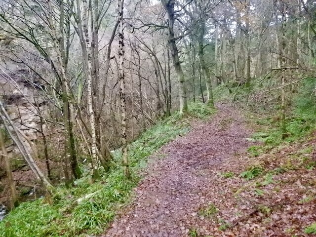
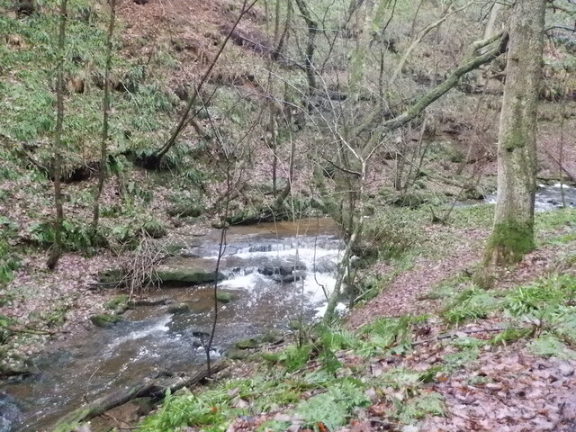
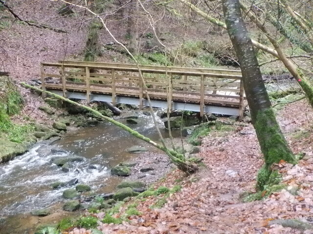
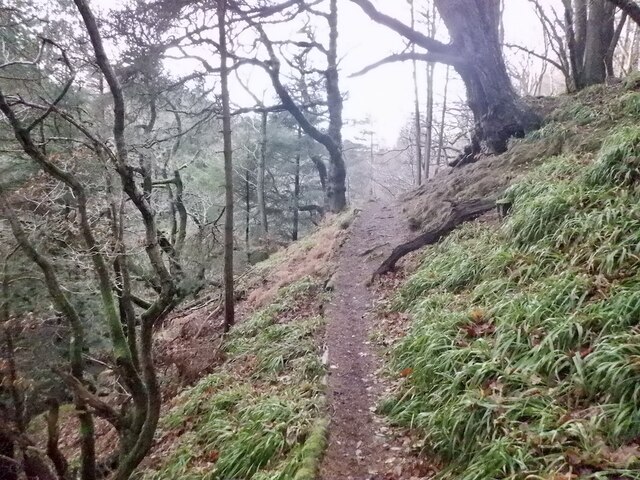
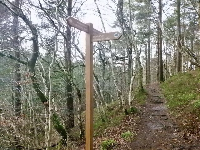
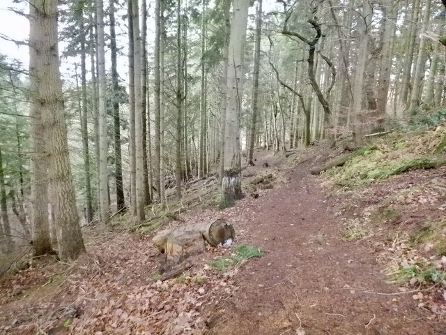
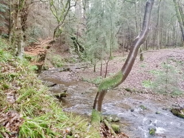
Nature lovers will appreciate the abundance of outdoor recreational opportunities in Tynehead. The nearby Pentland Hills Regional Park offers stunning scenic walks, cycling trails, and panoramic views of the surrounding countryside. The village is also close to the picturesque River North Esk, which is popular for fishing and wildlife spotting.
Overall, Tynehead is a charming village that provides a peaceful and idyllic setting for its residents. Its proximity to Edinburgh allows for easy access to city amenities while still enjoying a tranquil rural lifestyle.
If you have any feedback on the listing, please let us know in the comments section below.
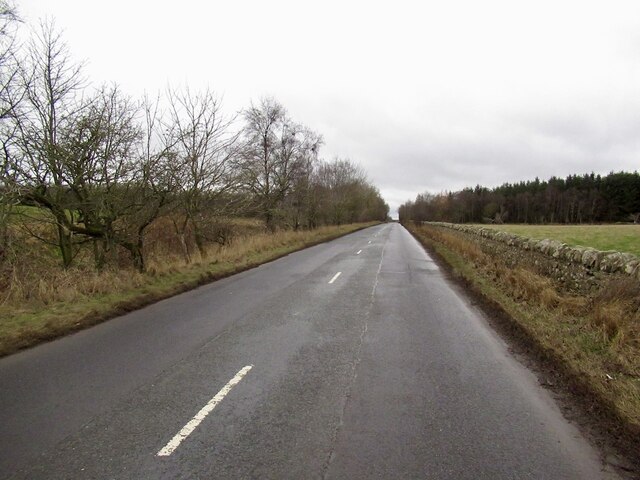
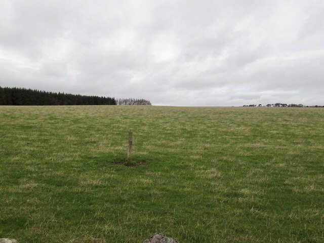
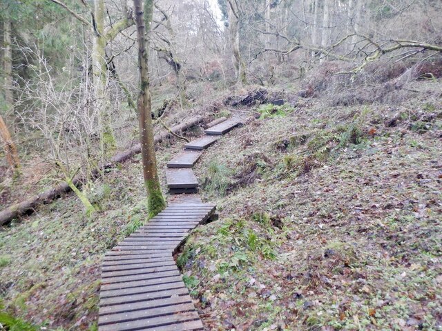
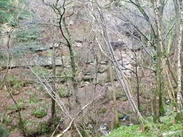
Tynehead Images
Images are sourced within 2km of 55.820381/-2.975117 or Grid Reference NT3959. Thanks to Geograph Open Source API. All images are credited.


Tynehead is located at Grid Ref: NT3959 (Lat: 55.820381, Lng: -2.975117)
Unitary Authority: Midlothian
Police Authority: The Lothians and Scottish Borders
What 3 Words
///degrading.hamster.bulletins. Near Gorebridge, Midlothian
Nearby Locations
Related Wikis

Tynehead railway station
Tynehead railway station served the village of Pathhead, Midlothian, Scotland from 1848 to 1969 on the Waverley Line. == History == The station opened...

Borthwick Castle
Borthwick Castle is one of the largest and best-preserved surviving medieval Scottish fortifications. It is located twelve miles (19 km) south-east of...

Cakemuir Castle
Cakemuir Castle is an historic house situated 4 miles (6.4 km) southeast of Pathhead, in the Lammermuir Hills, Midlothian, Scotland. The name may be connected...

Borthwick
Borthwick is a hamlet, parish and stream in Midlothian, Scotland. The parish includes the 15th century Borthwick Castle, which is to the east of the village...
Related Videos

Crichton Castle, 27/05/2021
Footage filmed on DJI Mini 2, 27/05/2021 Music by Bensound Thanks for watching!

Todd Various at Borthwick Castle
Just me walking around Borthwick Castle grounds.

Inside Scotland's most luxurious castle | Borthwick Castle
Roger, The Castle Man, takes a stroll around Borthwick Castle and talks us through one of the many legends surrounding this ...

Crichton Castle 1974
Continuing from our Hadrian's wall reel, this part of the film looks at Crichton Castle and one other tower not identified on the film ...
Nearby Amenities
Located within 500m of 55.820381,-2.975117Have you been to Tynehead?
Leave your review of Tynehead below (or comments, questions and feedback).