Tylers Causeway
Settlement in Hertfordshire East Hertfordshire
England
Tylers Causeway
Tyler's Causeway is a picturesque village located in Hertfordshire, England. Situated in the East Hertfordshire district, it is surrounded by stunning countryside and offers a peaceful and idyllic setting for residents and visitors alike.
The village is known for its quaint and charming atmosphere, with a population of approximately 500 residents. It is renowned for its historic buildings and traditional architecture, which adds to the village's overall character and charm. Many of the houses in Tyler's Causeway date back several centuries, showcasing stunning examples of Tudor and Georgian architecture.
The village is also home to a range of amenities, including a village hall, a local pub, and a small convenience store. These amenities cater to the needs of the residents and provide a sense of community within the village.
Surrounded by lush green fields and rolling hills, Tyler's Causeway is an ideal location for nature lovers and outdoor enthusiasts. The village is in close proximity to several nature reserves and parks, offering ample opportunities for walking, cycling, and exploring the beautiful countryside.
Despite its tranquil setting, Tyler's Causeway benefits from its close proximity to the nearby towns of Hertford and Ware. This allows residents to easily access a wider range of amenities, including shops, restaurants, and leisure facilities.
Overall, Tyler's Causeway offers a charming and peaceful escape from the hustle and bustle of city life, with its rich history, stunning architecture, and beautiful natural surroundings.
If you have any feedback on the listing, please let us know in the comments section below.
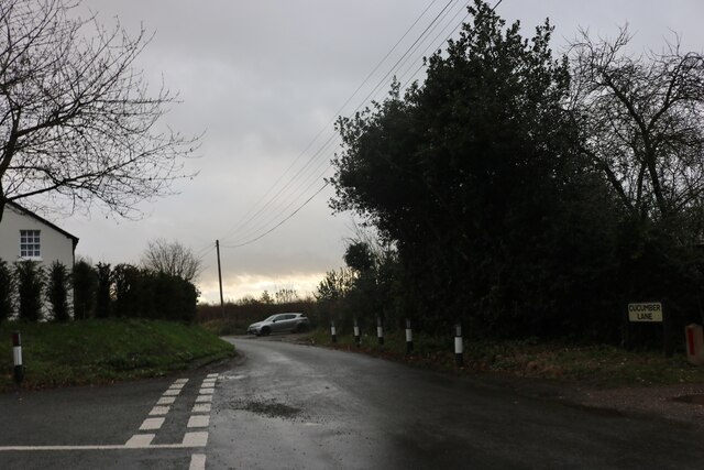
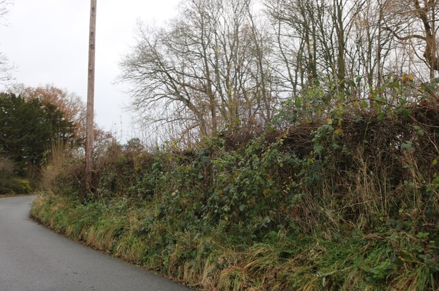
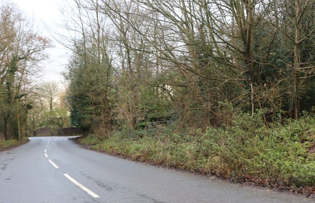
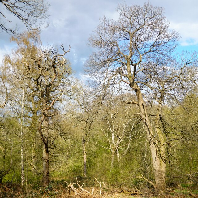
Tylers Causeway Images
Images are sourced within 2km of 51.737869/-0.1331891 or Grid Reference TL2906. Thanks to Geograph Open Source API. All images are credited.


Tylers Causeway is located at Grid Ref: TL2906 (Lat: 51.737869, Lng: -0.1331891)
Administrative County: Hertfordshire
District: East Hertfordshire
Police Authority: Hertfordshire
What 3 Words
///froth.snows.await. Near Cuffley, Hertfordshire
Nearby Locations
Related Wikis
Newgate Street, Hertfordshire
Newgate Street is a village near Cuffley, in Hatfield civil parish, in the Welwyn Hatfield district of Hertfordshire, England. It is approximately six...

Tolmers Park
Tolmers Park is a manor house in Newgate Street Village near Hatfield in Hertfordshire, England. == Early history == The early history of the manor is...
Little Berkhamsted
Little Berkhamsted is a village and civil parish in Hertfordshire, England, five miles south-west of the town of Hertford. The village is in a hilly location...

Northaw Great Wood
Northaw Great Wood is a 223.6-hectare (553-acre) biological Site of Special Scientific Interest (SSSI) near Cuffley in Hertfordshire, England. It covers...

Essendon, Hertfordshire
Essendon is a village and civil parish in Hertfordshire 6 miles (10 km), south-west of Hertford. The village is on the B158 road 330 feet (100 m) above...

Bayford, Hertfordshire
Bayford is a village and civil parish in the East Hertfordshire district of Hertfordshire, England. According to the 2001 census it had a population of...
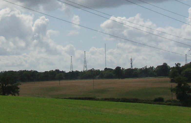
Brookmans Park transmitting station
The Brookmans Park transmitting station is a facility for medium wave (MW) broadcasting at Brookmans Park, Hertfordshire, north of London (grid reference...

Cuffley
Cuffley is a village in the civil parish of Northaw and Cuffley, in the Welwyn Hatfield district of south-east Hertfordshire located between Cheshunt and...
Nearby Amenities
Located within 500m of 51.737869,-0.1331891Have you been to Tylers Causeway?
Leave your review of Tylers Causeway below (or comments, questions and feedback).