Bournes Green
Settlement in Essex
England
Bournes Green
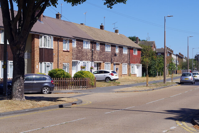
Bournes Green is a small village located in the Rochford district of Essex, England. Situated about 40 miles east of London, the village is nestled in the picturesque countryside, offering residents a peaceful and rural setting.
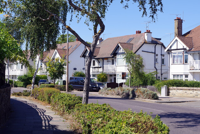
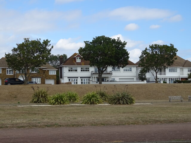
With a population of just over 400 residents, Bournes Green maintains a tight-knit community feel. The village is characterized by its charming cottages, many of which date back several centuries. These historic buildings add to the area's rustic charm and make Bournes Green a popular destination for those seeking a quintessentially English village experience.
The village is surrounded by lush green fields and rolling hills, providing ample opportunities for outdoor activities such as walking, cycling, and horseback riding. Bournes Green is also home to several nature reserves and woodland areas, making it a haven for wildlife enthusiasts and nature lovers.
Despite its rural setting, Bournes Green is conveniently located near major road and rail links. The nearby town of Rochford offers amenities such as shops, schools, and medical facilities, ensuring that residents have easy access to essential services.
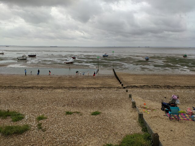
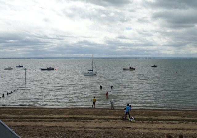
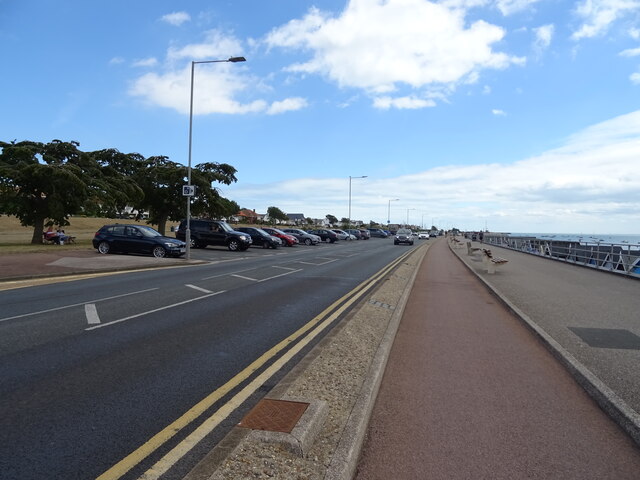
Bournes Green is also within close proximity to the popular seaside town of Southend-on-Sea, which boasts a vibrant pier, sandy beaches, and a range of entertainment options. This means that residents can enjoy the best of both worlds – the tranquility of village life and the excitement of coastal attractions.
In summary, Bournes Green is a charming and idyllic village in Essex, offering residents a peaceful and rural lifestyle within easy reach of both nature and urban amenities.
If you have any feedback on the listing, please let us know in the comments section below.
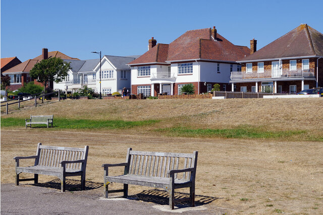
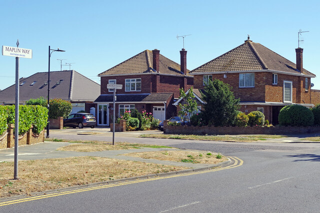
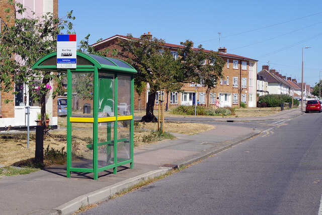
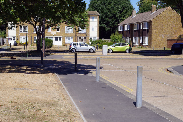
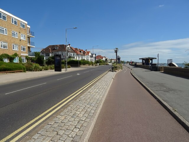
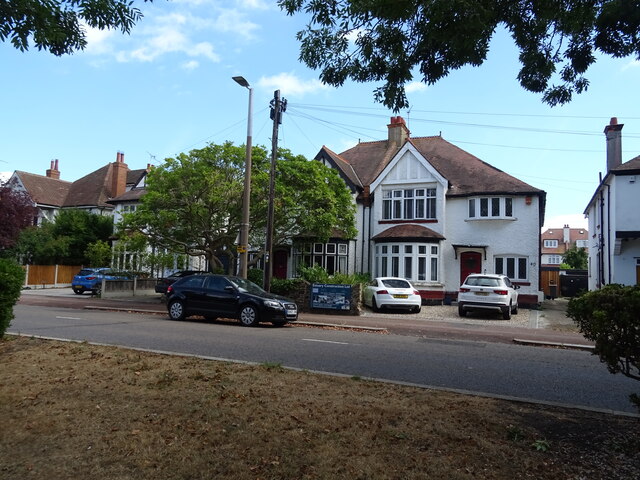
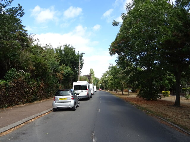
Bournes Green Images
Images are sourced within 2km of 51.544367/0.761358 or Grid Reference TQ9186. Thanks to Geograph Open Source API. All images are credited.
Bournes Green is located at Grid Ref: TQ9186 (Lat: 51.544367, Lng: 0.761358)
Unitary Authority: Southend-on-Sea
Police Authority: Essex
What 3 Words
///socket.mole.gazed. Near Southchurch Village, Essex
Nearby Locations
Related Wikis

Thorpe Hall School
Thorpe Hall School is a non-selective, coeducational independent school in Southend-on-Sea, Essex, England. The school is a member of the Independent Schools...
Alleyn Court Prep School
Alleyn Court Prep School is a co-educational day preparatory school in Westcliff-on-Sea, Essex for children up to age 11. == History == The school was...

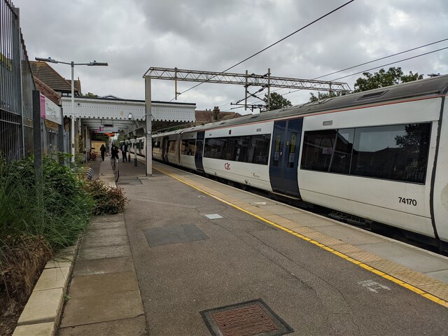
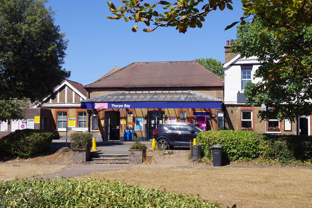
Thorpe Bay railway station
Thorpe Bay railway station is on the London, Tilbury and Southend line, serving the Thorpe Bay area to the east of Southend-on-Sea, Essex. It is 37 miles...
Southchurch High School
Southchurch High School is a coeducational secondary school located in Southend-on-Sea, Essex, England. It opened on 1 September 2016, replacing the former...
Related Videos


Nearby Amenities
Located within 500m of 51.544367,0.761358Have you been to Bournes Green?
Leave your review of Bournes Green below (or comments, questions and feedback).