Bourne End

Settlement in Bedfordshire

England

Bourne End

Crawley Road, Cranfield The road passes the end of the Cranfield airfield runway. The sign, on the wrong side of the road, has been reversed by wind or some other agency, as the runway centreline is behind the camera.
Crawley Road, Cranfield Credit: Robin Webster

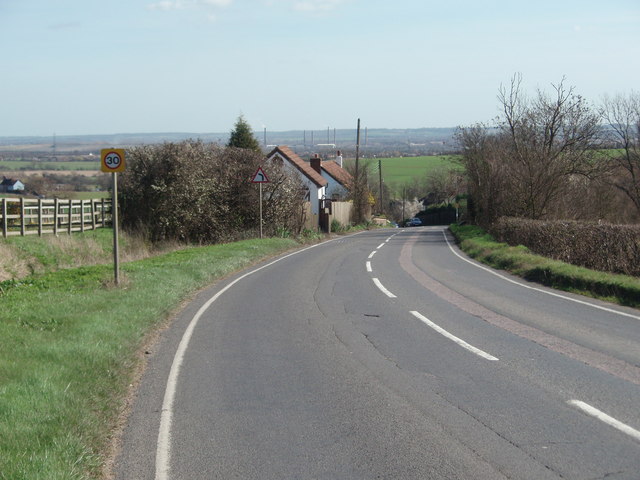
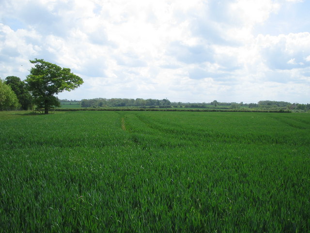
Bourne End is a small and picturesque village located in the county of Bedfordshire, England. Situated approximately 6 miles south of Bedford, Bourne End is surrounded by beautiful countryside and offers a tranquil and peaceful setting for its residents.

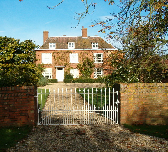
The village is known for its charming and traditional architecture, with many of its buildings dating back to the 17th and 18th centuries. The village center features a mix of thatched cottages, red-brick houses, and timber-framed buildings, giving it a quintessential English village feel.

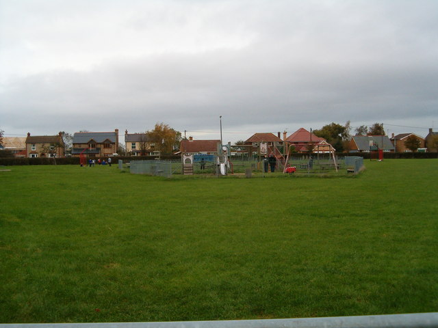
Bourne End is home to a tight-knit community and offers a range of amenities for its residents. These include a primary school, a village hall, a local pub, and several shops and services catering to everyday needs. The village also has a small playing field, providing recreational space for outdoor activities.

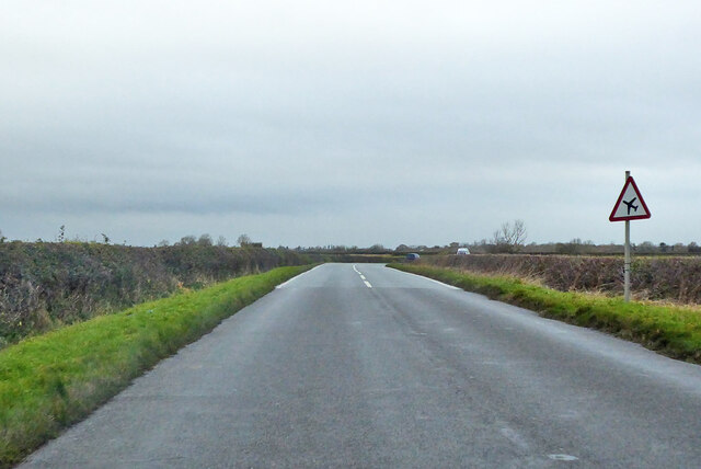
One of the main attractions in Bourne End is its close proximity to the River Great Ouse, which runs along the southern edge of the village. This tranquil river offers opportunities for boating, fishing, and leisurely walks along its banks. The surrounding countryside is also popular among hikers and nature enthusiasts, with numerous footpaths and trails leading through the scenic landscape.

Overall, Bourne End is a charming and idyllic village that offers a peaceful and rural lifestyle. Its historic architecture, friendly community, and natural beauty make it a desirable place to live for those seeking a slower pace of life in the Bedfordshire countryside.

If you have any feedback on the listing, please let us know in the comments section below.

Bourne End Images

Images are sourced within 2km of 52.091752/-0.592854 or Grid Reference SP9644. Thanks to Geograph Open Source API. All images are credited.

Crawley Road, Cranfield The road passes the end of the Cranfield airfield runway. The sign, on the wrong side of the road, has been reversed by wind or some other agency, as the runway centreline is behind the camera.
Crawley Road, Cranfield
The road passes the end of the Cranfield airfield runway. The sign, on the wrong side of the road, has been reversed by wind or some other agency, as the runway centreline is behind the camera.
Crawley Road towards North Crawley
Old Tractor An old tractor sat in the farmyard at the end of the road at East End.
Old Tractor
An old tractor sat in the farmyard at the end of the road at East End.
East End An impressive house in East End.
East End
An impressive house in East End.
Path to the woods A path across farmland on the Buckinghamshire/Bedfordshire border.
Path to the woods
A path across farmland on the Buckinghamshire/Bedfordshire border.
Broad Green, Cranfield A children's play area in the middle of the village green.
Broad Green, Cranfield
A children's play area in the middle of the village green.
Cranfield United Sportsground on the edge of Cranfield village.
Cranfield United
Sportsground on the edge of Cranfield village.
Village boundary Footpath on the edge of Cranfield village
Village boundary
Footpath on the edge of Cranfield village
Bourne End
Bourne End
The road to Astwood The road between Cranfield and Astwood, near Boxhedge Farm.
The road to Astwood
The road between Cranfield and Astwood, near Boxhedge Farm.
Green Valley Farm
Green Valley Farm
Bucks/Beds Border The road from North Crawley to Cranfield at the point where it crosses from Buckinghamshire into Bedfordshire.
Bucks/Beds Border
The road from North Crawley to Cranfield at the point where it crosses from Buckinghamshire into Bedfordshire.
Straight Road This road heading north from Wharley End, Cranfield, marks the boundary to Cranfield airfield.
Straight Road
This road heading north from Wharley End, Cranfield, marks the boundary to Cranfield airfield.
The End of the Road Pylons tower over this old and twisted sign that tell you this is the end of the road.
The End of the Road
Pylons tower over this old and twisted sign that tell you this is the end of the road.
East from Cranfield The road heading east from Cranfield to Wootton.  In the distance can be seen the chimneys of the Stewartby brickworks.
East from Cranfield
The road heading east from Cranfield to Wootton. In the distance can be seen the chimneys of the Stewartby brickworks.
The lane to Roxhill Manor Farm
Jacob's Wood from Dollar's Grove footpath Wheat field south of an extended 'spinney'(on left)
Jacob's Wood from Dollar's Grove footpath
Wheat field south of an extended 'spinney'(on left)
Frogs Hall From boundary footpath (follows stream) between East End and Stagsden West End.
Frogs Hall
From boundary footpath (follows stream) between East End and Stagsden West End.
Show me another place!

Bourne End is located at Grid Ref: SP9644 (Lat: 52.091752, Lng: -0.592854)

Unitary Authority: Central Bedfordshire

Police Authority: Bedfordshire

What 3 Words

///person.darkest.astounded. Near Astwood, Buckinghamshire

Nearby Locations

Bourne End

Related Wikis

Cranfield United F.C.

Cranfield United Football Club is a football club based in Cranfield, near Bedford, Bedfordshire, England. The club is affiliated to the Bedfordshire County...
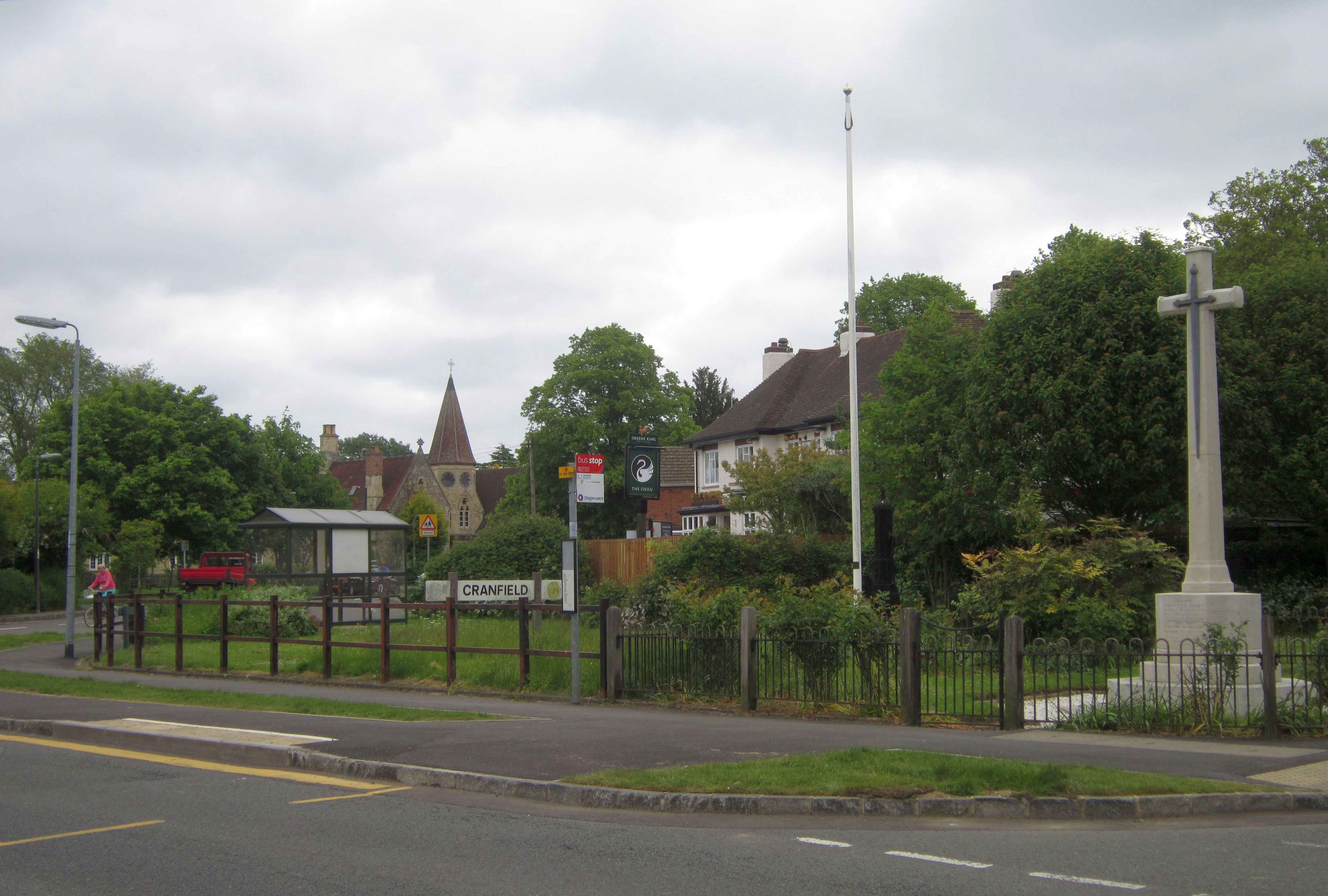
Cranfield

Cranfield is a village and civil parish in the west of Bedfordshire, England, situated between Bedford and Milton Keynes. It had a population of 4,909...

Cranfield Airport

Cranfield Airport (ICAO: EGTC) is an airfield just outside the village of Cranfield, in Bedfordshire, England. It is 7 NM (13 km; 8.1 mi) south-west of...

Church of St Peter & St Paul, Cranfield

Church of St Peter & St Paul is a Grade I listed church in Cranfield, Bedfordshire, England. It became a listed building on 23 January 1961. == See... ==

Nearby Amenities

Located within 500m of 52.091752,-0.592854
Bourne End
Place: hamlet
Source: OS_OpenData_StreetView
Lat/Long: 52.0917618/-0.5959748
Post Box
Operator: Royal Mail
Post Box Type: lamp
Ref: MK43 383
Royal Cypher: EIIR
Lat/Long: 52.0898553/-0.5987222
Cafe
BikeBus
Addr City: Cranfield
Addr Country: GB
Addr Housename: The Bus, Horseshoe Farm
Addr Postcode: MK43 0AU
Addr Street: Astwood Road, Bourne End
Cuisine: coffee_shop
Fhrs Authority: Central Bedfordshire
Fhrs Id: 852511
Fhrs Local Authority Id: 159059
Internet Access: no
Opening Hours: Sa,Su 09:00-16:30
Outdoor Seating: yes
Smoking: no
Source: Local Knowledge
Wifi: no
Lat/Long: 52.0917216/-0.5991527
Barrier: stile
Lat/Long: 52.09045/-0.5964807
Barrier: stile
Lat/Long: 52.0912246/-0.5933049
Barrier: stile
Lat/Long: 52.0903149/-0.596132
Barrier: stile
Lat/Long: 52.091719/-0.5927578
Barrier: stile
Lat/Long: 52.0912752/-0.5932489
Direction: 155
Generator Method: photovoltaic
Generator Output Electricity: yes
Generator Solar Modules: 8
Generator Source: solar
Generator Type: solar_photovoltaic_panel
Location: roof
Power: generator
Lat/Long: 52.0899678/-0.5989344
Direction: 245
Generator Method: photovoltaic
Generator Output Electricity: yes
Generator Solar Modules: 6
Generator Source: solar
Generator Type: solar_photovoltaic_panel
Location: roof
Power: generator
Lat/Long: 52.0899723/-0.5989989
Direction: 200
Generator Method: photovoltaic
Generator Output Electricity: yes
Generator Solar Modules: 32
Generator Source: solar
Generator Type: solar_photovoltaic_panel
Location: roof
Power: generator
Lat/Long: 52.0907184/-0.5970009
Direction: 210
Generator Method: photovoltaic
Generator Output Electricity: yes
Generator Solar Modules: 88
Generator Source: solar
Generator Type: solar_photovoltaic_panel
Location: roof
Power: generator
Lat/Long: 52.0908039/-0.5960204
The data included in this document is from www.openstreetmap.org. The data is made available under ODbL.

Have you been to Bourne End?

Leave your review of Bourne End below (or comments, questions and feedback).