Trub
Settlement in Lancashire
England
Trub
Trub is a small village located in the county of Lancashire, in the North West of England. Situated within the borough of Rossendale, Trub is nestled amidst the picturesque countryside, offering residents and visitors a serene and peaceful environment.
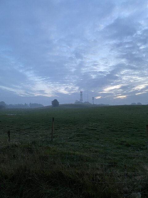
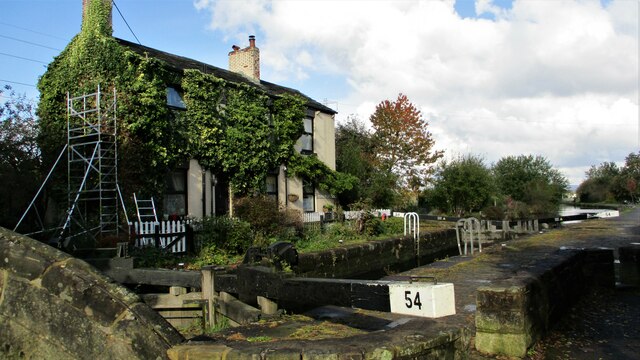
With a population of around 500 people, Trub is known for its tight-knit community and friendly atmosphere. The village is characterized by charming stone cottages and traditional architecture, which adds to its quaint appeal. Trub is surrounded by rolling hills and lush green fields, making it an ideal destination for nature enthusiasts and those seeking an escape from the hustle and bustle of city life.
Despite its small size, Trub offers a range of amenities to cater to the needs of its residents. The village boasts a local pub, where locals gather for drinks and socializing, along with a community center that hosts various events throughout the year. Additionally, there are several shops and services available, including a post office and a small convenience store.
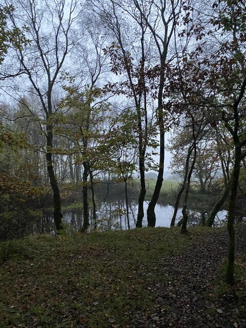
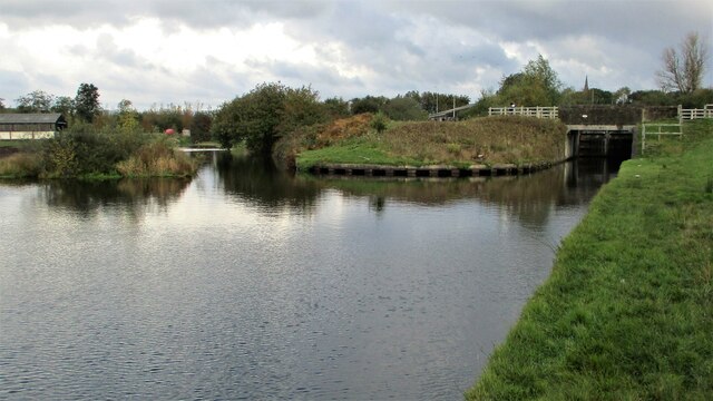
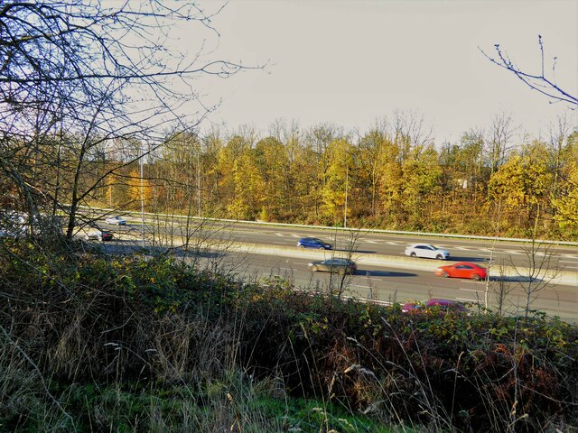
Trub is also known for its proximity to outdoor recreational opportunities. The village is located near the beautiful Irwell Sculpture Trail, a scenic path that stretches for miles along the River Irwell, offering stunning views and opportunities for walking, cycling, and picnicking.
Overall, Trub is a charming and idyllic village that exudes a sense of tranquility and community spirit. Its picturesque surroundings and range of amenities make it an attractive place to live or visit for those seeking a slower pace of life in the heart of Lancashire.
If you have any feedback on the listing, please let us know in the comments section below.
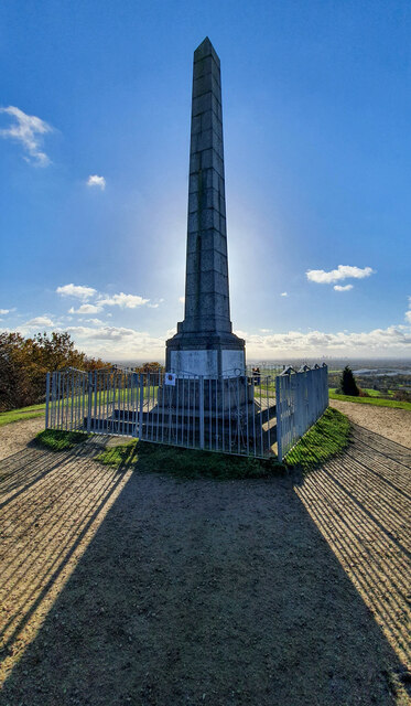
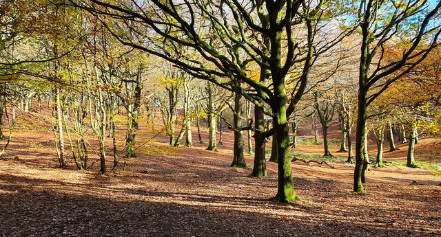
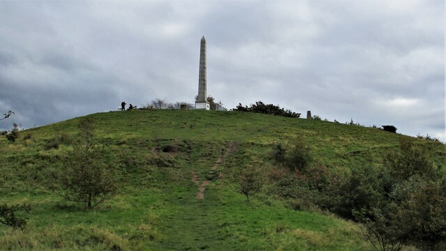
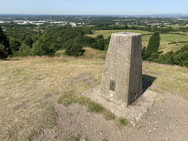
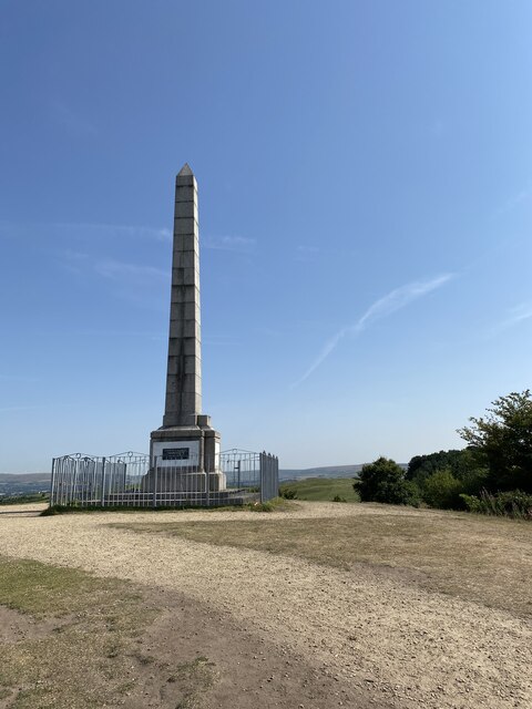
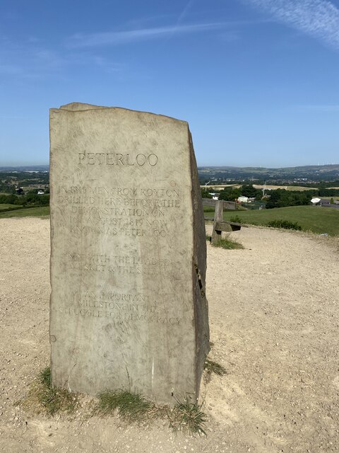
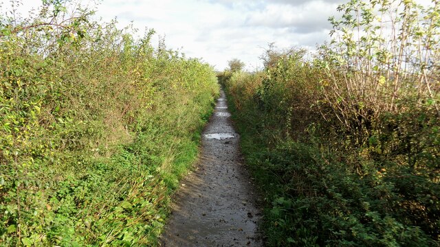
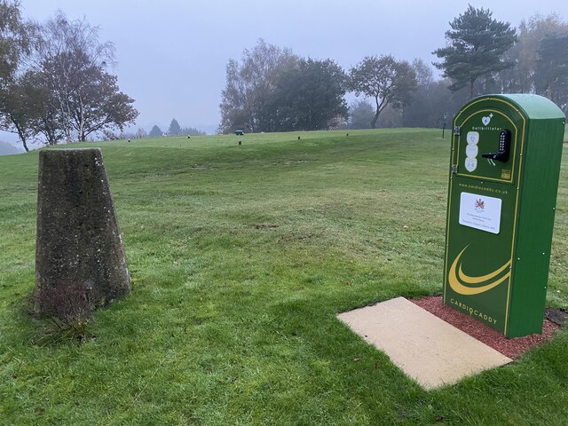
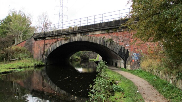
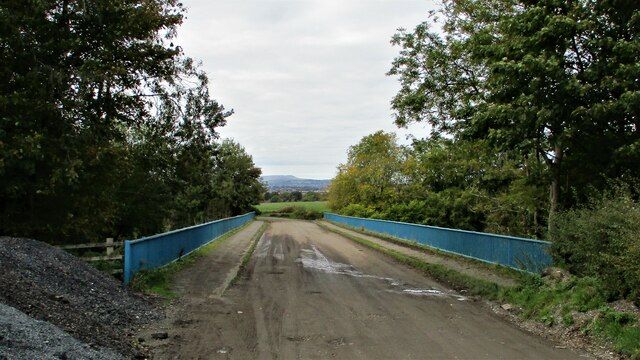
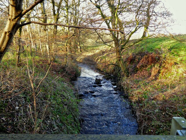
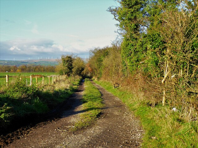
Trub Images
Images are sourced within 2km of 53.582136/-2.17503 or Grid Reference SD8809. Thanks to Geograph Open Source API. All images are credited.

Trub is located at Grid Ref: SD8809 (Lat: 53.582136, Lng: -2.17503)
Unitary Authority: Rochdale
Police Authority: Greater Manchester
What 3 Words
///float.cost.swan. Near Heywood, Manchester
Nearby Locations
Related Wikis
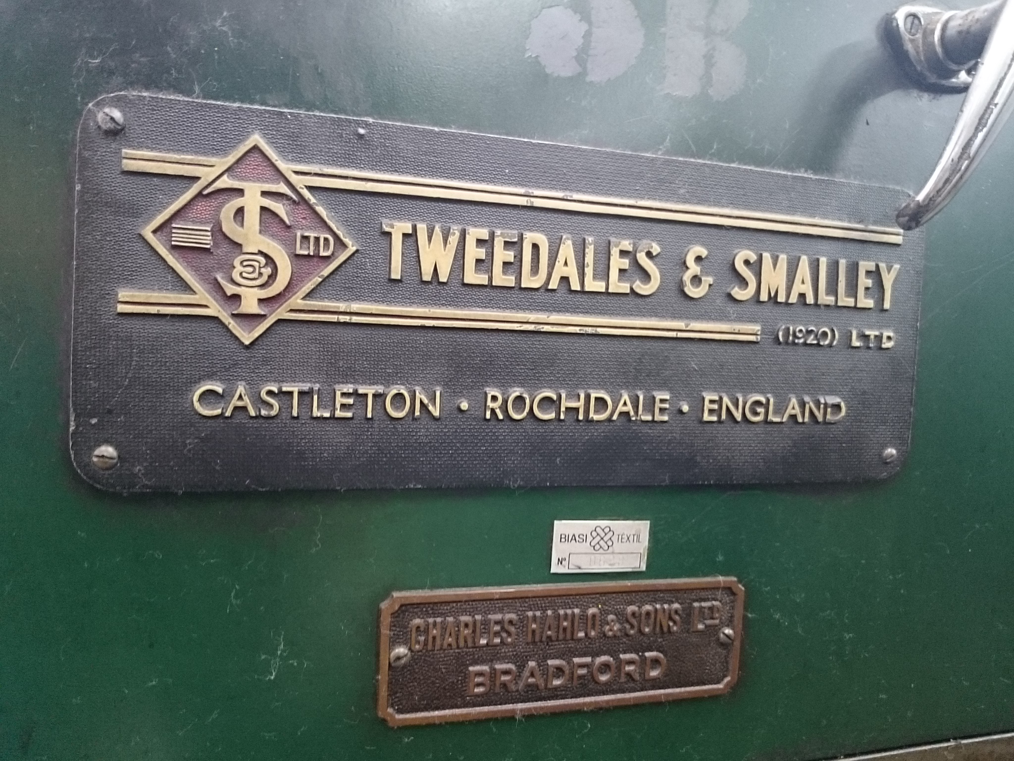
Tweedales & Smalley
Tweedales and Smalley was a manufacturer of textile machinery in Castleton, Rochdale, Greater Manchester, in England. It specialised in ring spinning frames...
Castleton, Greater Manchester
Castleton is an area of Rochdale, Greater Manchester, England, 1.2 miles (1.9 km) south-southwest of Rochdale town centre and 8 miles (13 km) north-northeast...

Manchester Golf Club
Manchester Golf Club, is a golf club in Middleton, Greater Manchester, England. The club was founded in 1882 as the Manchester St Andrews Golf Club, to...
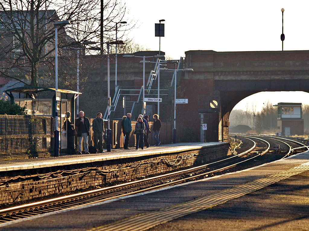
Castleton railway station
Castleton railway station serves Castleton in the Metropolitan Borough of Rochdale, Greater Manchester, England. It is 8¾ miles (14 km) north of Manchester...
Nearby Amenities
Located within 500m of 53.582136,-2.17503Have you been to Trub?
Leave your review of Trub below (or comments, questions and feedback).