Troydale

Settlement in Yorkshire

England

Troydale

Henconner Lane shops (3) Not counting the Leeds Bacon Company at left, as of 2021 the other shops comprise Jackson's Stores (formerly Premier), Curry Corner (formerly Lighthouse fish and chips <a href="https://www.geograph.org.uk/photo/4643176">SE2533 : Henconner Lane shops (2)</a>), and in the second block Canton Takeaway, TLC hair design, Local Barber (formerly Xerxes), Ewe Move (estate agent - formerly Antique garden <a href="https://www.geograph.org.uk/photo/4643169">SE2533 : Henconner Lane shops</a>), Pizza Corner and one other (not legible).
Henconner Lane shops (3) Credit: Stephen Craven

Troydale is a small village located in the metropolitan borough of Calderdale, West Yorkshire, England. Situated approximately 5 miles east of Halifax, it is nestled in the picturesque countryside of the Yorkshire Dales. With a population of around 1,500 residents, Troydale retains its rural charm and offers a peaceful and close-knit community atmosphere.

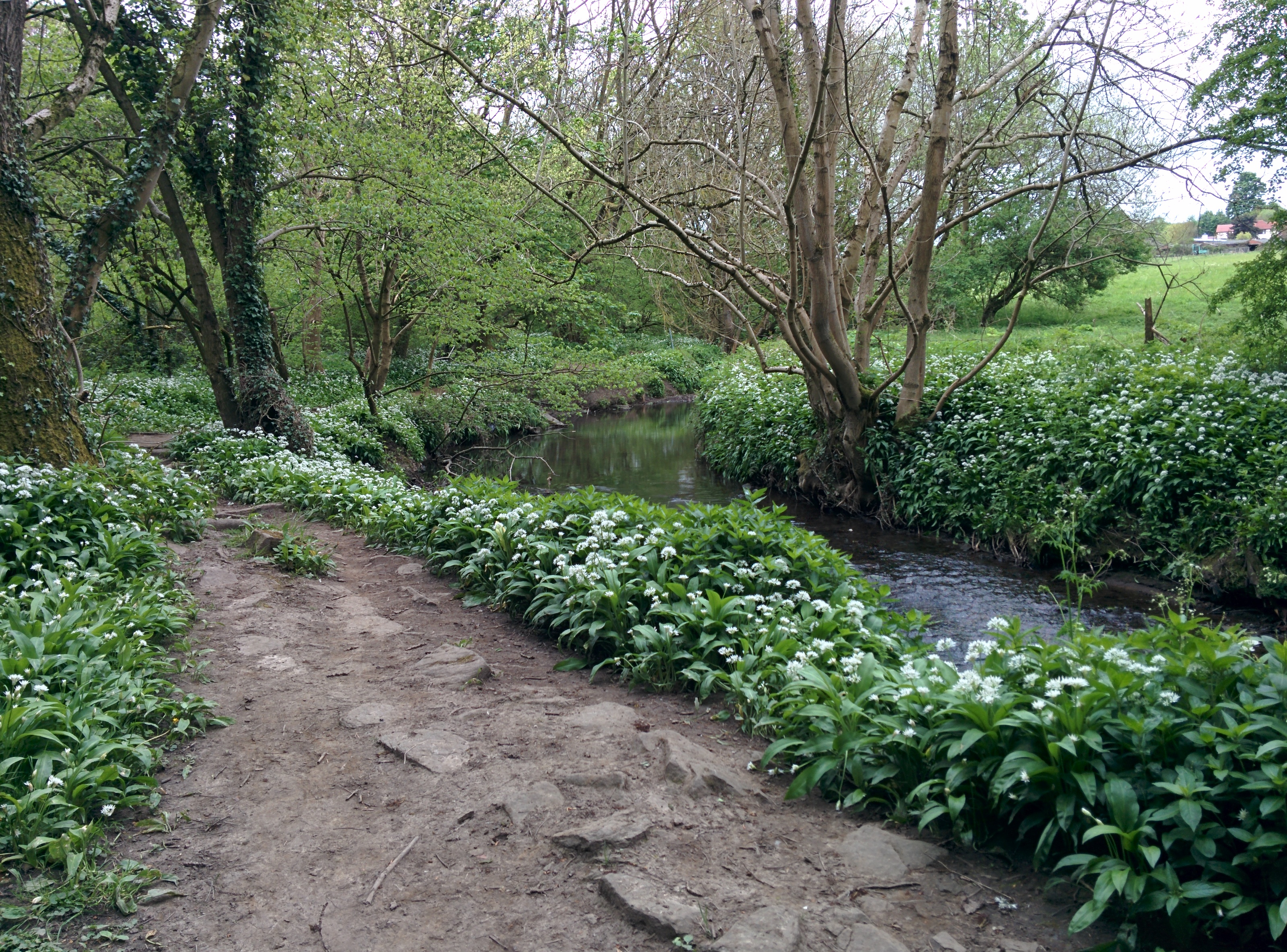
The village is known for its stunning natural beauty, surrounded by rolling hills, lush green fields, and meandering rivers. It is an ideal destination for nature lovers and outdoor enthusiasts, offering numerous walking and cycling trails that showcase the breathtaking landscapes of the Yorkshire Dales National Park.

Despite its small size, Troydale boasts a rich history. The village is home to several historic buildings, including the 14th-century St. Peter's Church, with its intricate stained glass windows and ancient stone architecture. The church serves as a focal point for the community, hosting regular services and community events.

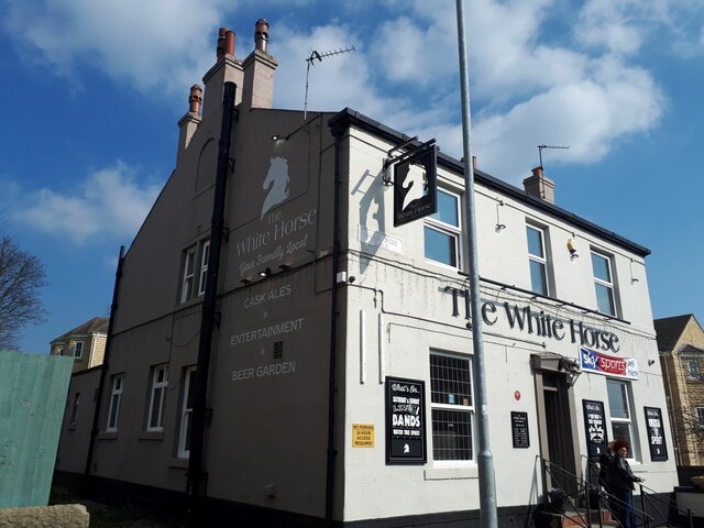
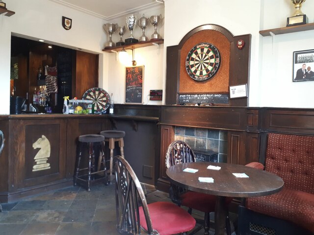
Troydale offers a range of amenities to its residents, including a primary school, a post office, and a convenience store. The village also has a local pub, The Rose and Crown, which serves as a popular gathering spot for locals and visitors alike. Additionally, Troydale is well-connected to nearby towns and cities, with regular bus services and easy access to major road networks.

In summary, Troydale is a charming village in the heart of Yorkshire, offering a tranquil and idyllic setting for those seeking a peaceful countryside lifestyle. Its natural beauty, rich history, and strong sense of community make it a truly special place to live or visit.

If you have any feedback on the listing, please let us know in the comments section below.
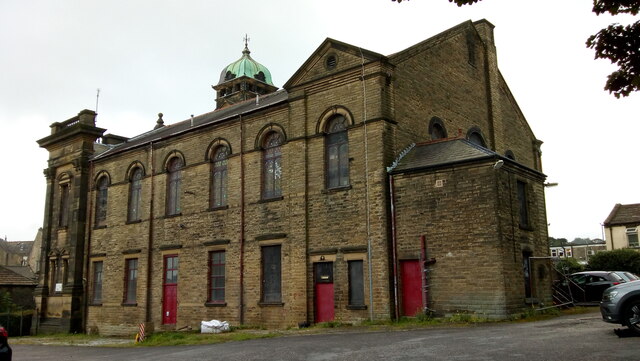
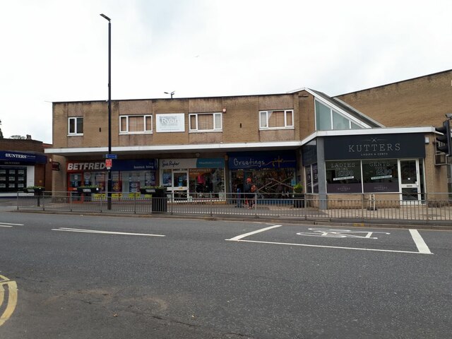
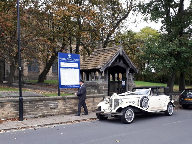
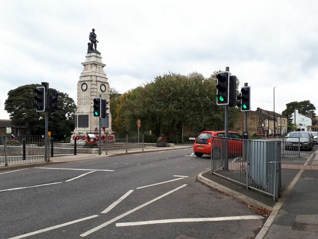
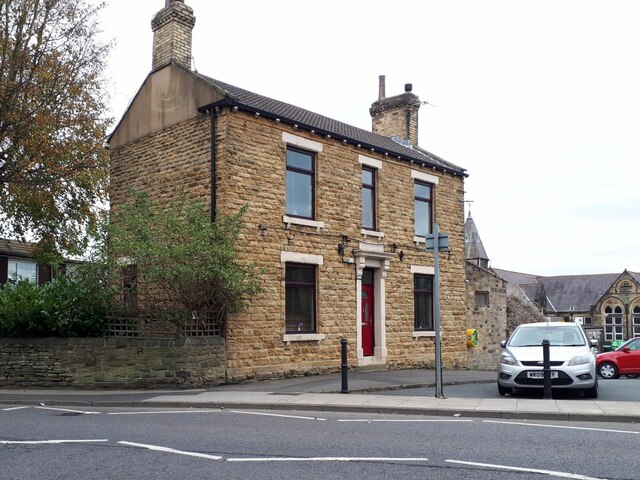
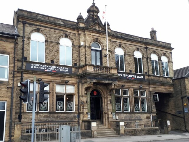
Troydale Images

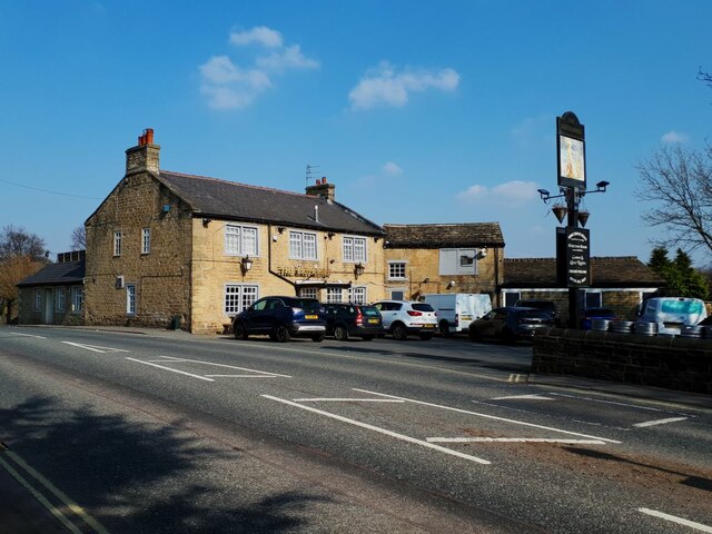
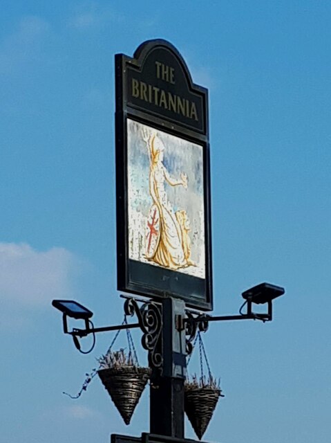
Images are sourced within 2km of 53.788144/-1.641115 or Grid Reference SE2332. Thanks to Geograph Open Source API. All images are credited.

Henconner Lane shops (3) Not counting the Leeds Bacon Company at left, as of 2021 the other shops comprise Jackson's Stores (formerly Premier), Curry Corner (formerly Lighthouse fish and chips <a href="https://www.geograph.org.uk/photo/4643176">SE2533 : Henconner Lane shops (2)</a>), and in the second block Canton Takeaway, TLC hair design, Local Barber (formerly Xerxes), Ewe Move (estate agent - formerly Antique garden <a href="https://www.geograph.org.uk/photo/4643169">SE2533 : Henconner Lane shops</a>), Pizza Corner and one other (not legible).
Henconner Lane shops (3)
Not counting the Leeds Bacon Company at left, as of 2021 the other shops comprise Jackson's Stores (formerly Premier), Curry Corner (formerly Lighthouse fish and chips SE2533 : Henconner Lane shops (2)), and in the second block Canton Takeaway, TLC hair design, Local Barber (formerly Xerxes), Ewe Move (estate agent - formerly Antique garden SE2533 : Henconner Lane shops), Pizza Corner and one other (not legible).
Former Trinity Methodist Church, Pudsey A view of the east side and rear from Mount Pleasant Heights. Grade II Listed c1899.
Former Trinity Methodist Church, Pudsey
A view of the east side and rear from Mount Pleasant Heights. Grade II Listed c1899.
Kutters, Church Lane, Pudsey Formerly known just as "The Barber's Shop", it changed its name in 2021 (I know, as my wife gets her hair cut here). To the left in the row are a greetings card shop, charity shop and betting shop.
Kutters, Church Lane, Pudsey
Formerly known just as "The Barber's Shop", it changed its name in 2021 (I know, as my wife gets her hair cut here). To the left in the row are a greetings card shop, charity shop and betting shop.
Wedding car at St Lawrence's A white Bentley with uniformed chauffeur stands outside the lychgate awaiting the happy couple.
Wedding car at St Lawrence's
A white Bentley with uniformed chauffeur stands outside the lychgate awaiting the happy couple.
Pelican crossing on Chapeltown, Pudsey Near the war memorial.
Pelican crossing on Chapeltown, Pudsey
Near the war memorial.
House with a defibrillator, Chapeltown, Pudsey It would be unusual for a private house to have a public defibrillator on the outside, so it may be that the building is publicly or charitably owned.
House with a defibrillator, Chapeltown, Pudsey
It would be unusual for a private house to have a public defibrillator on the outside, so it may be that the building is publicly or charitably owned.
Seven Steps, Chapeltown, Pudsey A bar and music venue in the former Conservative Club, see also <a href="https://www.geograph.org.uk/photo/6806334">SE2132 : Former Conservative Club, Chapeltown, Pudsey</a>. There are actually ten steps at the entrance.
Seven Steps, Chapeltown, Pudsey
A bar and music venue in the former Conservative Club, see also SE2132 : Former Conservative Club, Chapeltown, Pudsey. There are actually ten steps at the entrance.
New building going up on the site of Victoria Mills  This field north of Bramley station and east of Swinnow Road was formerly the site of Victoria woollen mills. The mills were demolished some time before 2002 but the site is only now being built on. The form of construction - precast concrete panel walls - suggests an industrial use.
New building going up on the site of Victoria Mills
This field north of Bramley station and east of Swinnow Road was formerly the site of Victoria woollen mills. The mills were demolished some time before 2002 but the site is only now being built on. The form of construction - precast concrete panel walls - suggests an industrial use.
The White Horse, Hough Side Road, Pudsey One of CAMRA's heritage pubs (see shared description). Since 2016 the inn sign <a href="https://www.geograph.org.uk/photo/4790176">SE2233 : The White Horse, Hough Side Road, Pudsey</a> has been replaced with a new one in silhouette, more a representation of a chess knight than an actual horse.
The White Horse, Hough Side Road, Pudsey
One of CAMRA's heritage pubs (see shared description). Since 2016 the inn sign SE2233 : The White Horse, Hough Side Road, Pudsey has been replaced with a new one in silhouette, more a representation of a chess knight than an actual horse.
The White Horse, Hough Side Road, Pudsey - front bar This is the most unaltered room in the pub. According to CAMRA it was refurbished by Tetley's in 1938 and the moquette seating dates from that time.  The trophies are those of a local rugby club. See <a href="https://www.geograph.org.uk/photo/7131289">SE2233 : The White Horse, Hough Side Road, Pudsey</a> for the outside.
The White Horse, Hough Side Road, Pudsey - front bar
This is the most unaltered room in the pub. According to CAMRA it was refurbished by Tetley's in 1938 and the moquette seating dates from that time. The trophies are those of a local rugby club. See SE2233 : The White Horse, Hough Side Road, Pudsey for the outside.
The White Horse, Hough Side Road, Pudsey - front bar seating This is the most unaltered room in the pub. According to CAMRA it was refurbished by Tetley's in 1938 and the seating dates from that time, although I expect the moquette covers have been replaced more than once in 84 years. See <a href="https://www.geograph.org.uk/photo/7131289">SE2233 : The White Horse, Hough Side Road, Pudsey</a> for the outside.
The White Horse, Hough Side Road, Pudsey - front bar seating
This is the most unaltered room in the pub. According to CAMRA it was refurbished by Tetley's in 1938 and the seating dates from that time, although I expect the moquette covers have been replaced more than once in 84 years. See SE2233 : The White Horse, Hough Side Road, Pudsey for the outside.
Mark's Garage Services, Swinnow Road This functional garage building with corrugated modern sheet metal cladding on the front is probably older than it looks, see <a href="https://www.geograph.org.uk/photo/7131308">SE2233 : Ghost sign on a garage</a>.
Mark's Garage Services, Swinnow Road
This functional garage building with corrugated modern sheet metal cladding on the front is probably older than it looks, see SE2233 : Ghost sign on a garage.
Ghost sign on a garage This functional garage building with corrugated modern sheet metal cladding on the front is probably older than it looks, with a ghost sign for the Victoria Garage Company Ltd painted on a rendered finish to the side. See <a href="https://www.geograph.org.uk/photo/7131307">SE2233 : Mark's Garage Services, Swinnow Road</a> for context.
Ghost sign on a garage
This functional garage building with corrugated modern sheet metal cladding on the front is probably older than it looks, with a ghost sign for the Victoria Garage Company Ltd painted on a rendered finish to the side. See SE2233 : Mark's Garage Services, Swinnow Road for context.
Town End Mills, Pudsey Now a small business centre.
Town End Mills, Pudsey
Now a small business centre.
Altered Image Gymnasium, Swinnow Road, Pudsey The business claims to be the oldest private gym in Leeds, established in 1995.
Altered Image Gymnasium, Swinnow Road, Pudsey
The business claims to be the oldest private gym in Leeds, established in 1995.
The Britannia, Swinnow Road, Pudsey A late 18th century inn with adjacent stables, grade II listed (list entry 1255936).
The Britannia, Swinnow Road, Pudsey
A late 18th century inn with adjacent stables, grade II listed (list entry 1255936).
Sign for the Britannia, Swinnow Road, Pudsey A somewhat faded sign with the traditional rendering of Britannia with trident and shield, as seen on pre-decimal pennies. See <a href="https://www.geograph.org.uk/photo/7131318">SE2233 : The Britannia, Swinnow Road, Pudsey</a> for context.
Sign for the Britannia, Swinnow Road, Pudsey
A somewhat faded sign with the traditional rendering of Britannia with trident and shield, as seen on pre-decimal pennies. See SE2233 : The Britannia, Swinnow Road, Pudsey for context.
Swinnow Road towards Bramley From this point the road runs dead straight for almost a kilometre on a fairly steady downward gradient of about 5%.
Swinnow Road towards Bramley
From this point the road runs dead straight for almost a kilometre on a fairly steady downward gradient of about 5%.
Show me another place!

Troydale is located at Grid Ref: SE2332 (Lat: 53.788144, Lng: -1.641115)

Division: West Riding

Unitary Authority: Leeds

Police Authority: West Yorkshire

What 3 Words

///latest.happen.normal. Near Pudsey, West Yorkshire

Nearby Locations

Troydale Troy Dale

Related Wikis

Post Hill

Post Hill is a designated Leeds Nature Area on the western end of Farnley, and partly in Pudsey. It is situated mostly east of Pudsey Beck and Farnley...

Farnley Hall Park

Farnley Hall Park is a park in Farnley, Leeds, England, approximately four miles from the city centre. 16 hectares in size, it lies in the grounds of Farnley...

Crawshaw Academy

Crawshaw Academy (formerly Crawshaw School) is a secondary school with academy status in Pudsey, West Yorkshire, England. The Crawshaw Academy logo is...

Farnley Hall, West Yorkshire

Farnley Hall is a stately home in Farnley, west Leeds, West Yorkshire, England. It is a grade II listed building. It was built in Elizabethan times by...

Nearby Amenities

Located within 500m of 53.788144,-1.641115
Turning Circle
Lat/Long: 53.7872729/-1.6401434
Turning Circle
Lat/Long: 53.7871647/-1.6410541
Post Box
Operator: Royal Mail
Post Box Type: wall
Ref: LS28 352
Lat/Long: 53.7878202/-1.6394415
Bus Stop
Troydale
Local Ref: 45010610
Naptan AtcoCode: 450010610
Naptan Bearing: E
Naptan CommonName: Troydale
Naptan Crossing: Troydale Road
Naptan Indicator: Stop 45010610
Naptan PlusbusZoneRef: LEEDS
Naptan ShortCommonName: Troydale Grove
Naptan Street: Troydale Lane
Naptan Verified: no
Source: naptan_import
Lat/Long: 53.7879299/-1.6399331
Bus Stop
Tong Road Farnley
Local Ref: 45012182
Naptan AtcoCode: 450012182
Naptan Bearing: N
Naptan CommonName: Tong Road Farnley
Naptan Indicator: Stop 45012182
Naptan Landmark: Cemetery
Naptan PlusbusZoneRef: LEEDS
Naptan ShortCommonName: Farnley Cemetery
Naptan Street: Tong Road
Naptan Verified: no
Source: naptan_import
Lat/Long: 53.7863959/-1.6349982
Bus Stop
Tong Road Farnley
Local Ref: 45012183
Naptan AtcoCode: 450012183
Naptan Bearing: S
Naptan CommonName: Tong Road Farnley
Naptan Crossing: Twixt Hall Lane & Green Lane
Naptan Indicator: Stop 45012183
Naptan Landmark: Cemetery
Naptan PlusbusZoneRef: LEEDS
Naptan ShortCommonName: Farnley Cemetery
Naptan Street: Tong Road
Naptan Verified: no
Source: naptan_import
Lat/Long: 53.7858834/-1.6349267
Bus Stop
Old Farnley Beaulah Hotel
Local Ref: 45012189
Naptan AtcoCode: 450012189
Naptan Bearing: NE
Naptan CommonName: Old Farnley Beaulah Hotel
Naptan Crossing: Tong Road
Naptan Indicator: Stop 45012189
Naptan Landmark: The Beulah PH
Naptan PlusbusZoneRef: LEEDS
Naptan ShortCommonName: Beaulah Hotel
Naptan Street: Hall Lane
Naptan Verified: no
Source: naptan_import
Lat/Long: 53.7884239/-1.6339029
Bus Stop
Old Farnley Beaulah Hotel
Local Ref: 45012190
Naptan AtcoCode: 450012190
Naptan Bearing: SW
Naptan CommonName: Old Farnley Beaulah Hotel
Naptan Crossing: Tong Road
Naptan Indicator: Stop 45012190
Naptan Landmark: The Beulah PH
Naptan PlusbusZoneRef: LEEDS
Naptan ShortCommonName: Beaulah Hotel
Naptan Street: Hall Lane
Naptan Verified: no
Source: naptan_import
Lat/Long: 53.7881549/-1.6341177
Bus Stop
Troydale Lane
Local Ref: 45012229
Naptan AtcoCode: 450012229
Naptan Bearing: NW
Naptan CommonName: Troydale Lane
Naptan Crossing: Troydale Gardens
Naptan Indicator: Stop 45012229
Naptan Landmark: Adcock Bank Farm
Naptan PlusbusZoneRef: LEEDS
Naptan ShortCommonName: Adcock Bank Farm
Naptan Street: Troydale Lane
Naptan Verified: no
Source: naptan_import
Lat/Long: 53.7896033/-1.6434707
Bus Stop
Troydale Lane
Local Ref: 45012230
Naptan AtcoCode: 450012230
Naptan Bearing: SE
Naptan CommonName: Troydale Lane
Naptan Crossing: Troydale Gardens
Naptan Indicator: Stop 45012230
Naptan Landmark: Adcock Bank Farm
Naptan PlusbusZoneRef: LEEDS
Naptan ShortCommonName: Adcock Bank Farm
Naptan Street: Troydale Lane
Naptan Verified: no
Source: naptan_import
Lat/Long: 53.7896386/-1.6432731
Bus Stop
Valley Road Acres Hall Avenue
Local Ref: 45012231
Naptan AtcoCode: 450012231
Naptan Bearing: W
Naptan CommonName: Valley Road Acres Hall Avenue
Naptan Crossing: Acres Hall Avenue
Naptan Indicator: Stop 45012231
Naptan PlusbusZoneRef: LEEDS
Naptan ShortCommonName: Acres Hall Avenue
Naptan Street: Valley Road
Naptan Verified: no
Source: naptan_import
Lat/Long: 53.7897597/-1.6477348
Bus Stop
Troydale Lane Acres Hall Avenue
Local Ref: 45012232
Naptan AtcoCode: 450012232
Naptan Bearing: E
Naptan CommonName: Troydale Lane Acres Hall Avenue
Naptan Crossing: Acres Avenue
Naptan Indicator: Stop 45012232
Naptan Landmark: Residential Home
Naptan PlusbusZoneRef: LEEDS
Naptan ShortCommonName: Acres Avenue
Naptan Street: Troydale Lane
Naptan Verified: no
Source: naptan_import
Lat/Long: 53.7897944/-1.6473095
Access: no
Barrier: fence
Note: temporary barrier due to land slips by the beck
Lat/Long: 53.7852967/-1.6391779
Bench
Lat/Long: 53.7923462/-1.6401159
Information: map
Source: survey;Bing
Tourism: information
Lat/Long: 53.7874223/-1.6377392
Waste Basket
Lat/Long: 53.7874471/-1.637737
Information: map
Source: survey;Bing
Tourism: information
Lat/Long: 53.7874601/-1.6376752
Telephone
Booth: KX100
Covered: booth
Operator: BT
Lat/Long: 53.7876855/-1.6395937
Disused Barrier: stile
Lat/Long: 53.7902041/-1.6378084
Recycling
Recycling Glass: yes
Lat/Long: 53.78856/-1.6337652
Information: map
Tourism: information
Lat/Long: 53.7878984/-1.6362856
Barrier: stile
Lat/Long: 53.7853283/-1.6392271
Defibrillator
Access: code
Defibrillator Location: On post, outside, opposite BT phone box
Emergency: defibrillator
Lat/Long: 53.7876909/-1.6394439
Barrier: stile
Lat/Long: 53.7897032/-1.6433814
Barrier: bollard
Foot: yes
Lat/Long: 53.7921259/-1.6441512
Waste Basket
Collection Times: Mo-Fr
Ref UK Leedscc Bin: 3378
Lat/Long: 53.787932/-1.640418
Entrance: main
Lat/Long: 53.7884419/-1.6340221
Deli 91
Shop: deli
Lat/Long: 53.7886194/-1.6340239
Defibrillator
Defibrillator Location: On external wall by Tong Road
Emergency: defibrillator
Lat/Long: 53.788549/-1.6341706
The data included in this document is from www.openstreetmap.org. The data is made available under ODbL.

Have you been to Troydale?

Leave your review of Troydale below (or comments, questions and feedback).