Troed-y-rhiw
Settlement in Pembrokeshire
Wales
Troed-y-rhiw
Troed-y-rhiw is a small village located in the county of Pembrokeshire, Wales. Situated on the western coast of Wales, Troed-y-rhiw is surrounded by picturesque countryside and is just a short distance away from the stunning Pembrokeshire Coast National Park.
The village itself is known for its quaint charm and peaceful atmosphere. It is primarily a residential area, with a small population of friendly and welcoming locals. The houses in Troed-y-rhiw are mostly traditional Welsh cottages, adding to the village's rustic appeal.
Despite its small size, Troed-y-rhiw offers some amenities to its residents. There is a local convenience store where residents can purchase daily essentials, as well as a pub where locals can gather and socialize. The village also has a primary school, providing education for the younger residents.
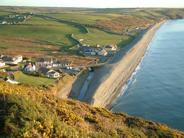
One of the main attractions in Troed-y-rhiw is its proximity to the Pembrokeshire Coast National Park. This allows residents and visitors to enjoy the stunning natural beauty of the area, including breathtaking coastal views, sandy beaches, and rugged cliffs. The national park also offers a variety of outdoor activities such as hiking, cycling, and birdwatching.
Troed-y-rhiw is well-connected to the surrounding areas, with good road links to nearby towns and cities. The village is approximately 10 miles away from the county town of Haverfordwest, where residents can access a wider range of amenities and services.
Overall, Troed-y-rhiw is a charming and peaceful village in Pembrokeshire, offering a close-knit community and easy access to the stunning natural beauty of the Pembrokeshire Coast National Park.
If you have any feedback on the listing, please let us know in the comments section below.
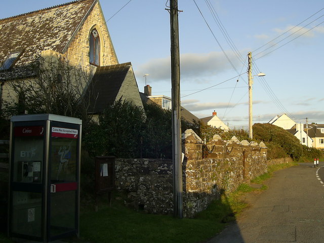
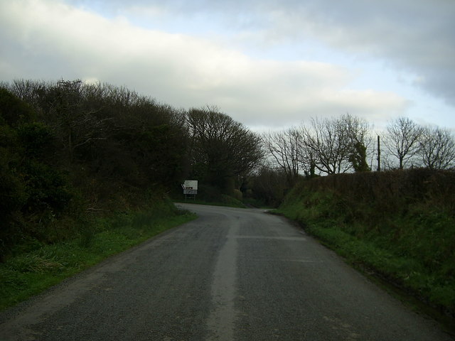
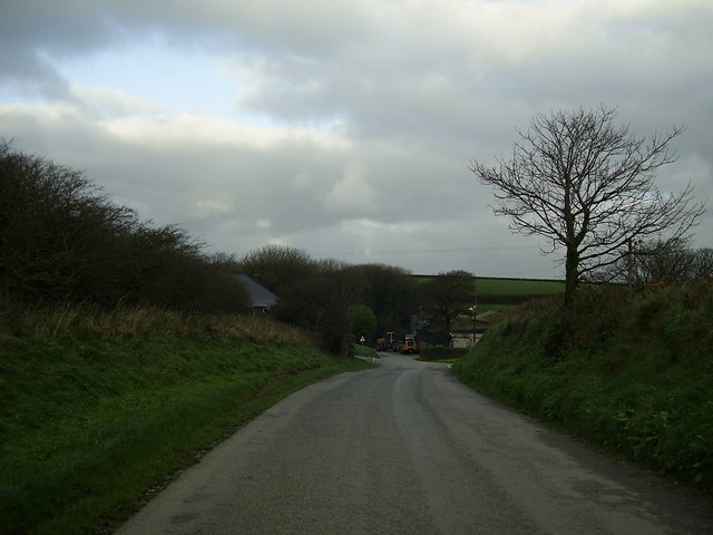
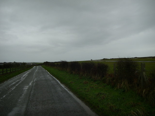
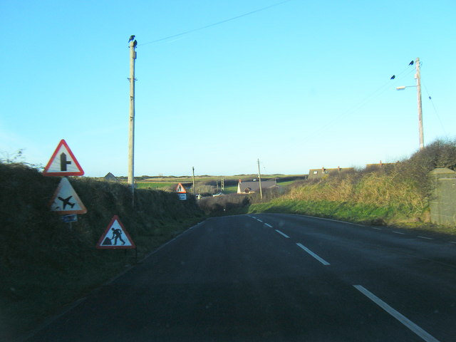
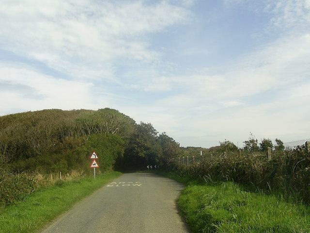
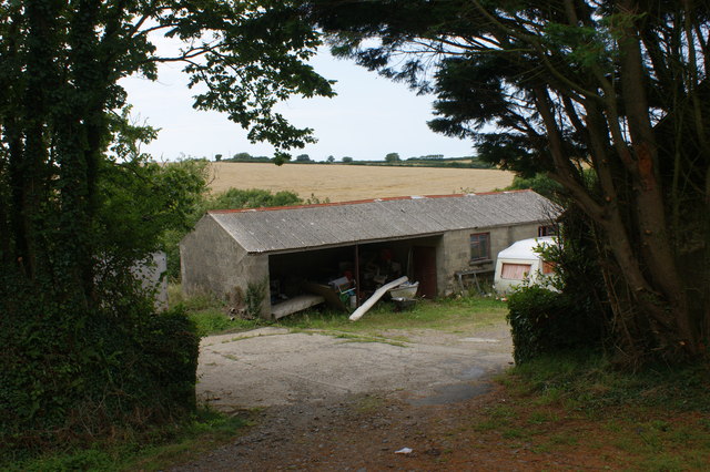
Troed-y-rhiw Images
Images are sourced within 2km of 51.880384/-5.106935 or Grid Reference SM8624. Thanks to Geograph Open Source API. All images are credited.


Troed-y-rhiw is located at Grid Ref: SM8624 (Lat: 51.880384, Lng: -5.106935)
Unitary Authority: Pembrokeshire
Police Authority: Dyfed Powys
What 3 Words
///branded.charities.tearfully. Near Mathry, Pembrokeshire
Nearby Locations
Related Wikis

Brawdy
Brawdy (Welsh: Breudeth) is a village and community in Pembrokeshire, Wales. == Etymology == The Welsh language name appears to be an archaic form of...

Cawdor Barracks
Cawdor Barracks is a British Army installation located 6.3 miles (10.1 km) east of St Davids, Pembrokeshire and 9.8 miles (15.8 km) south west of Fishguard...

RAF Brawdy
Royal Air Force Brawdy, or more simply RAF Brawdy, is a former Royal Air Force satellite station located 6.3 miles (10.1 km) east of St Davids, Pembrokeshire...

Llandeloy
Llandeloy (Welsh: Llan-lwy) is a small village and parish in Pembrokeshire, South West Wales. Together with the parishes of Brawdy and Llanreithan, it...

Penycwm
Penycwm (Welsh for "Head of the valley") is a small settlement on the A487 road near Newgale, Pembrokeshire, Wales. It is part of the community (formerly...
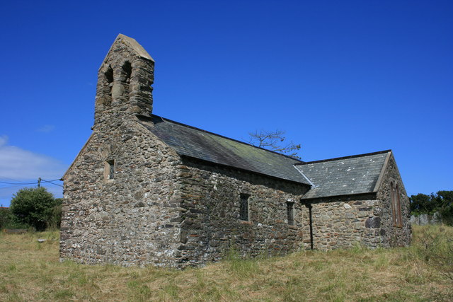
St Teilo's Church, Llandeloy
St Teilo's Church, Llandeloy, is a redundant church in the village of Llandeloy, Pembrokeshire, Wales, dedicated to Saint Teilo. It has been designated...
Newgale, Pembrokeshire
Newgale (Welsh: Niwgwl) is a village with an almost two-mile (3 km) stretch of beach in the parish of Roch, Pembrokeshire, West Wales. The beach is situated...
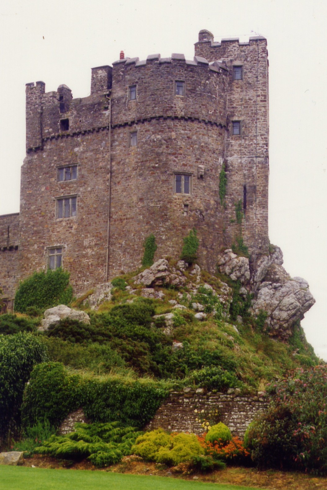
Roch Castle
Roch Castle (Welsh: Castell y Garn) is a 12th-century castle, located at Roch near Haverfordwest, Wales. Built by Norman knight Adam de Rupe in the second...
Nearby Amenities
Located within 500m of 51.880384,-5.106935Have you been to Troed-y-rhiw?
Leave your review of Troed-y-rhiw below (or comments, questions and feedback).