Aire View

Settlement in Yorkshire Craven

England

Aire View

Peacock window at Ryecroft This is not the main, grade II listed farmhouse (which I didn't photograph as there were children outside) but a building across the lane from it.
Peacock window at Ryecroft Credit: Stephen Craven

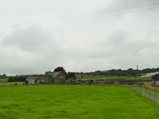
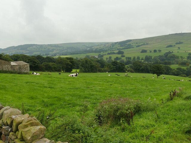
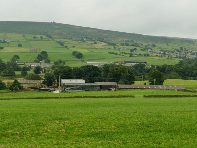
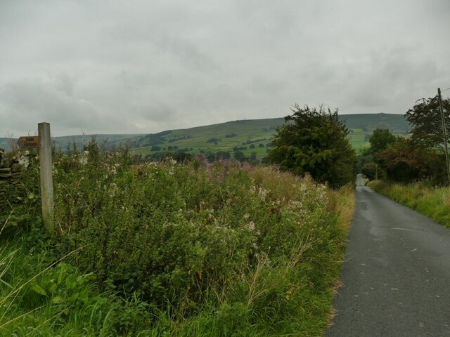
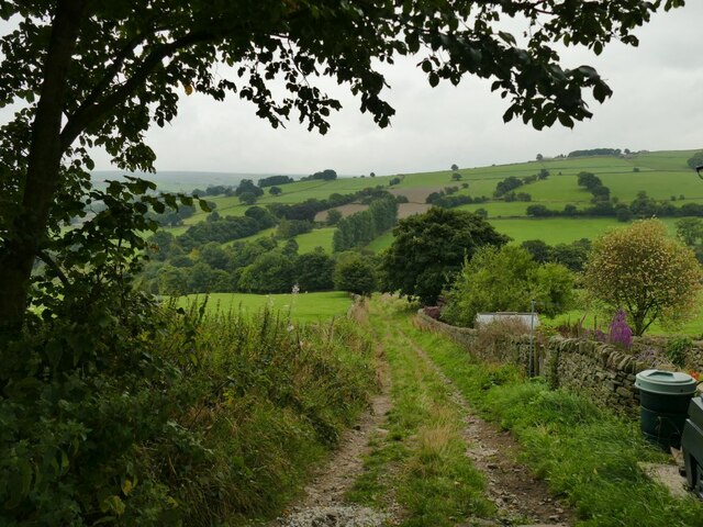
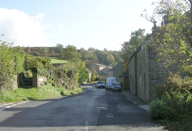
Aire View is a small village located in the county of Yorkshire, England. Situated on the banks of the River Aire, the village is known for its picturesque setting and tranquil environment. The village is surrounded by rolling hills and lush green pastures, providing a stunning backdrop for residents and visitors alike.

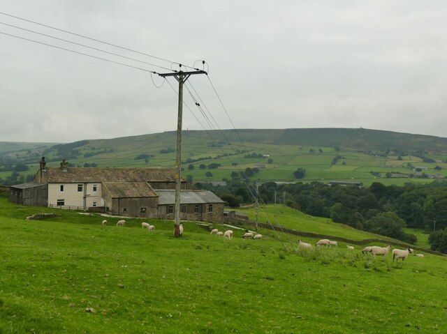
Aire View is a tight-knit community with a population of around 500 people. The residents are friendly and welcoming, creating a warm and inviting atmosphere in the village. The village is primarily residential, with a few local businesses serving the needs of the community.

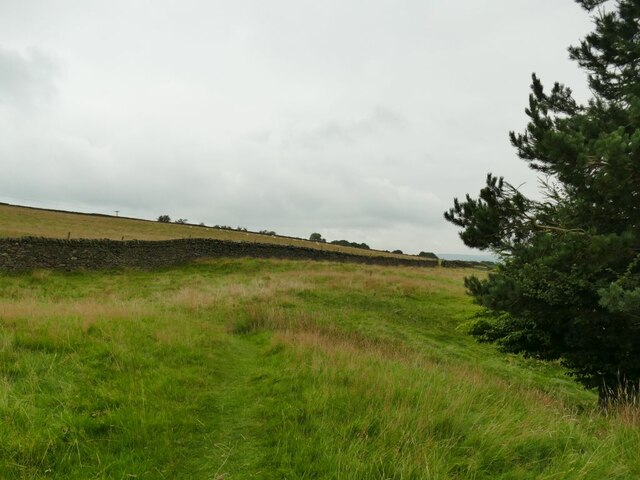
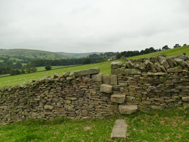
The River Aire is a prominent feature of Aire View, providing opportunities for recreational activities such as fishing, boating, and riverside walks. The scenic beauty of the river attracts nature lovers and outdoor enthusiasts, who come to enjoy the peaceful surroundings and observe the local wildlife.

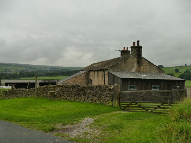
Aire View is also known for its rich history, with several historic buildings and landmarks scattered throughout the village. The village church, dating back to the 12th century, is a notable architectural gem that offers a glimpse into the area's past.

Despite its small size, Aire View benefits from its proximity to larger towns and cities. The village is conveniently located near major transportation routes, allowing residents to easily access amenities and services in nearby urban areas.

In conclusion, Aire View is a charming village in Yorkshire that offers a tranquil setting, stunning natural beauty, and a close-knit community. Whether it's exploring the river, immersing oneself in history, or enjoying the warmth of the villagers, Aire View is a hidden gem worth discovering.

If you have any feedback on the listing, please let us know in the comments section below.
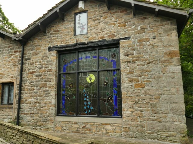
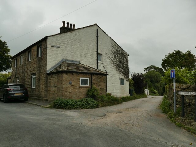
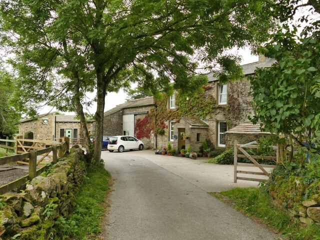
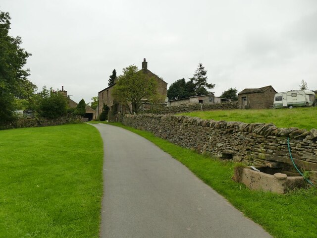
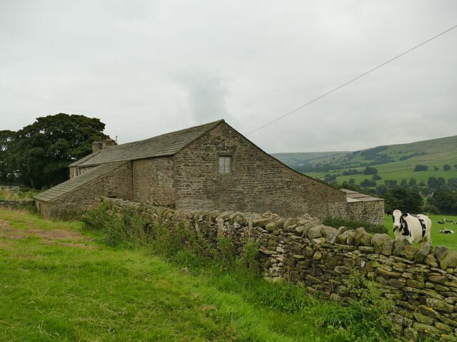
Aire View Images

Images are sourced within 2km of 53.910153/-2.0167083 or Grid Reference SD9946. Thanks to Geograph Open Source API. All images are credited.

Peacock window at Ryecroft This is not the main, grade II listed farmhouse (which I didn't photograph as there were children outside) but a building across the lane from it.
Peacock window at Ryecroft
This is not the main, grade II listed farmhouse (which I didn't photograph as there were children outside) but a building across the lane from it.
The start of Ryecroft Road The junction with Green Lane; the group of houses to the left is called Glusburn Green.
The start of Ryecroft Road
The junction with Green Lane; the group of houses to the left is called Glusburn Green.
Buckett Farm An unusually named farm near Glusburn.
Buckett Farm
An unusually named farm near Glusburn.
Binns Lane Farm
Binns Lane Farm
View from Binns Lane Looking across the valley to the ridge with two monuments either end, Lund's Tower or the 'pepperpot' at left <a href="https://www.geograph.org.uk/photo/1747397">SD9943 : Lund's Tower</a>, and Wainman's Pinnacle or the 'saltpot' at right <a href="https://www.geograph.org.uk/photo/4932502">SD9842 : Wainman's Pinnacle near Cowling</a>.
View from Binns Lane
Looking across the valley to the ridge with two monuments either end, Lund's Tower or the 'pepperpot' at left SD9943 : Lund's Tower, and Wainman's Pinnacle or the 'saltpot' at right SD9842 : Wainman's Pinnacle near Cowling.
Mown field at Green House Farm
Buildings at Scott House Farm
Binns Lane, looking east The lane is a private road serving five farms, and has a surprisingly good tarmac surface for a route of this nature.  It's also a public footpath. This is taken at the bottom of the drive to West Closes Farm.
Binns Lane, looking east
The lane is a private road serving five farms, and has a surprisingly good tarmac surface for a route of this nature. It's also a public footpath. This is taken at the bottom of the drive to West Closes Farm.
Approaching West Closes Farm The lane is a private road serving five farms, of which this is the last.  It's also a public footpath. The main farmhouse is grade II listed but not seen in this view, and was the home of a well known 19th century organ builder, John Laycock (source: <span class="nowrap"><a title="http://www.farnhill.co.uk/History_Docs/Kildwick%20Organ%20grave%20-%20issue%203.pdf" rel="nofollow ugc noopener" href="http://www.farnhill.co.uk/History_Docs/Kildwick%20Organ%20grave%20-%20issue%203.pdf">Link</a><img style="margin-left:2px;" alt="External link" title="External link - shift click to open in new window" src="https://s1.geograph.org.uk/img/external.png" width="10" height="10"/></span> ).
Approaching West Closes Farm
The lane is a private road serving five farms, of which this is the last. It's also a public footpath. The main farmhouse is grade II listed but not seen in this view, and was the home of a well known 19th century organ builder, John Laycock (source: LinkExternal link ).
Cook House Farm This is a view from behind the farm to the west.  The map shows the public footpath passing in front (south) of the property, but as I approached from the east, looking for a stile or gate, the owner and his dog came out and directed me round the back instead.

The farm was the birthplace of a well-known organ builder, John Laycock who later lived at nearby West Closes.(source: <span class="nowrap"><a title="http://www.farnhill.co.uk/History_Docs/Kildwick%20Organ%20grave%20-%20issue%203.pdf" rel="nofollow ugc noopener" href="http://www.farnhill.co.uk/History_Docs/Kildwick%20Organ%20grave%20-%20issue%203.pdf">Link</a><img style="margin-left:2px;" alt="External link" title="External link - shift click to open in new window" src="https://s1.geograph.org.uk/img/external.png" width="10" height="10"/></span> )
Cook House Farm
This is a view from behind the farm to the west. The map shows the public footpath passing in front (south) of the property, but as I approached from the east, looking for a stile or gate, the owner and his dog came out and directed me round the back instead. The farm was the birthplace of a well-known organ builder, John Laycock who later lived at nearby West Closes.(source: LinkExternal link )
Cows at Birks Farm The field is the one immediately below Cook House <a href="https://www.geograph.org.uk/photo/6954338">SD9844 : Cook House Farm</a> but I get the impression that the latter is no longer a working farm, and the cattle probably belong to Birks Farm lower down the hill.
Cows at Birks Farm
The field is the one immediately below Cook House SD9844 : Cook House Farm but I get the impression that the latter is no longer a working farm, and the cattle probably belong to Birks Farm lower down the hill.
Birks Farm A cattle farm, also the home of the "Woolly Jumper Craft Company".
Birks Farm
A cattle farm, also the home of the "Woolly Jumper Craft Company".
Top of the field above West Closes Farm The footpath dodges round the top of a conifer plantation and briefly enters this grid square in doing so.
Top of the field above West Closes Farm
The footpath dodges round the top of a conifer plantation and briefly enters this grid square in doing so.
Leys Lane Looking downhill towards Birks Bridge, with to the left the start of a public footpath to Cross Hills.
Leys Lane
Looking downhill towards Birks Bridge, with to the left the start of a public footpath to Cross Hills.
Near Leys Farm The farm is on Leys Lane between Glusburn and Lothersdale.
Near Leys Farm
The farm is on Leys Lane between Glusburn and Lothersdale.
Sheep at Near Leys Farm
A typical stile in Lothersdale Between West Close Farm and reaching the road into Lothersdale village I must have crossed at least ten stiles like this, with through stones in a dry stone wall.
A typical stile in Lothersdale
Between West Close Farm and reaching the road into Lothersdale village I must have crossed at least ten stiles like this, with through stones in a dry stone wall.
Norwood Lane below Leys House Below Leys House the lane is unsurfaced.
Norwood Lane below Leys House
Below Leys House the lane is unsurfaced.
Show me another place!

Aire View is located at Grid Ref: SD9946 (Lat: 53.910153, Lng: -2.0167083)

Division: West Riding

Administrative County: North Yorkshire

District: Craven

Police Authority: North Yorkshire

What 3 Words

///adopters.defends.earth. Near Glusburn, North Yorkshire

Nearby Locations

Cononley Aire View

Related Wikis

Nearby Amenities

Located within 500m of 53.910153,-2.0167083
Place: farm
Lat/Long: 53.9067278/-2.0153198
Gib
Man Made: survey_point
Lat/Long: 53.9098597/-2.0216793
Power: pole
Lat/Long: 53.9096867/-2.0099509
Power: pole
Lat/Long: 53.9107082/-2.0115669
Power: pole
Lat/Long: 53.9116948/-2.0131132
Power: pole
Lat/Long: 53.9120314/-2.0136362
Power: pole
Lat/Long: 53.9125922/-2.014524
Power: pole
Lat/Long: 53.9135907/-2.0160931
Power: pole
Lat/Long: 53.9141026/-2.0168924
The data included in this document is from www.openstreetmap.org. The data is made available under ODbL.

Have you been to Aire View?

Leave your review of Aire View below (or comments, questions and feedback).