Botwnnog

Settlement in Caernarfonshire

Wales

Botwnnog

Pont Saithbont Built in 1813 and more of a causeway than a bridge it crosses Afon Soch, which is little more than a stream at this point, and surrounding boggy ground.
Pont Saithbont Credit: Alan Fryer

Botwnnog is a small village located in the historical county of Caernarfonshire, in northwestern Wales. Situated on the Llyn Peninsula, it lies about 4 miles from the coast and is surrounded by picturesque countryside. The village has a population of around 800 residents.

Botwnnog is known for its rural charm and tranquility. The landscape is characterized by rolling hills, farmlands, and scattered clusters of houses. The village is centered around a small square, which features a few essential amenities including a post office, a convenience store, and a local pub. The village also has a primary school, providing education for the local children.

The area surrounding Botwnnog is predominantly agricultural, with farming playing a significant role in the local economy. Cattle and sheep farming are particularly prominent in the region. The fertile land and mild climate make it suitable for various crops, including potatoes and barley.

In terms of tourism, Botwnnog attracts visitors who appreciate the beauty of the countryside and seek a peaceful retreat. The village serves as a base for exploring the stunning coastline, which offers sandy beaches, hidden coves, and breathtaking cliffs. Outdoor enthusiasts can enjoy activities such as hiking, fishing, and birdwatching in the surrounding natural areas.

Overall, Botwnnog offers a quintessential Welsh village experience, characterized by its rural setting, friendly community, and proximity to natural beauty.

If you have any feedback on the listing, please let us know in the comments section below.
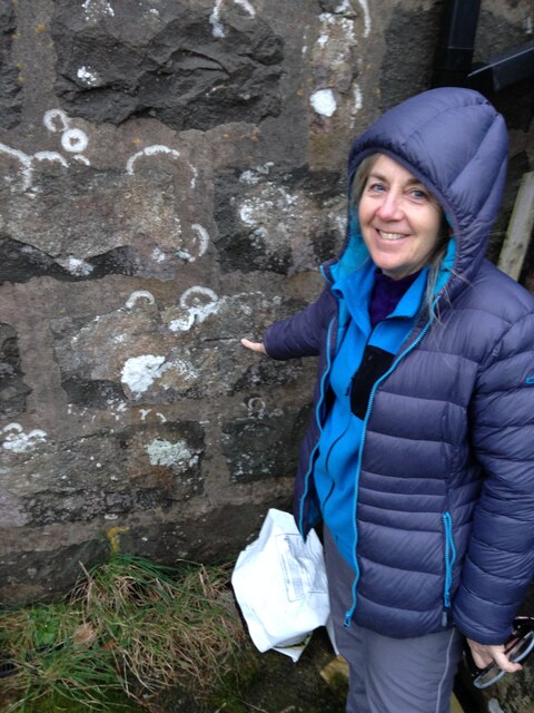
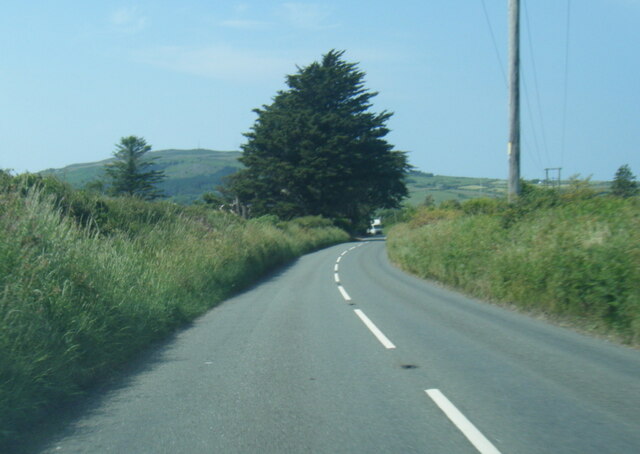
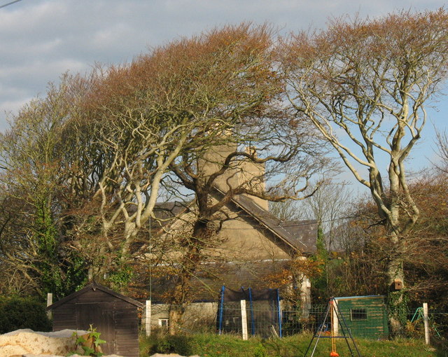
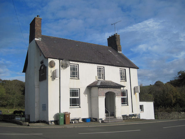
Botwnnog Images

Images are sourced within 2km of 52.849021/-4.584678 or Grid Reference SH2631. Thanks to Geograph Open Source API. All images are credited.

Pont Saithbont Built in 1813 and more of a causeway than a bridge it crosses Afon Soch, which is little more than a stream at this point, and surrounding boggy ground.
Pont Saithbont
Built in 1813 and more of a causeway than a bridge it crosses Afon Soch, which is little more than a stream at this point, and surrounding boggy ground.
Road junction Neigwl Ganol can be seen in the distance.
Road junction
Neigwl Ganol can be seen in the distance.
Road junction
Road junction
Field gateway Field gateway to a field which has been recently cleared of hay or silage, near Saithbont, near Llandegwning.
Field gateway
Field gateway to a field which has been recently cleared of hay or silage, near Saithbont, near Llandegwning.
Road crossing Saithbont Road crossing Saithbont with Neigwl Ganol in the background.
Road crossing Saithbont
Road crossing Saithbont with Neigwl Ganol in the background.
Sheep near Saithbont Sheep in a field near Saithbont.
Sheep near Saithbont
Sheep in a field near Saithbont.
Minor road near Botwnnog
Trewerin semis, Botwnnog
St Beuno's Church, Botwnnog
Capel Rhydbach Rhyd-Bach Methodist Chapel was built in 1889 in the Simple Round-Headed style of the gable entry type. A prominent feature of this Chapel is the large arch in the facade.
Capel Rhydbach
Rhyd-Bach Methodist Chapel was built in 1889 in the Simple Round-Headed style of the gable entry type. A prominent feature of this Chapel is the large arch in the facade.
Cut benchmark at St. Beuno's Church
St Beuno's Church
St Beuno's Church
B4413 near Bryngwynyd
B4413 nearing Botwnnog
B4413 west of Botwnnog
A lane at Llandegwning
St Gwynin's church, Llandegwning
St Beuno's church, Botwnnog
Show me another place!

Botwnnog is located at Grid Ref: SH2631 (Lat: 52.849021, Lng: -4.584678)

Unitary Authority: Gwynedd

Police Authority: North Wales

What 3 Words

///sprinter.consumed.races. Near Nefyn, Gwynedd

Nearby Locations

Botwnnog

Related Wikis

Botwnnog

Botwnnog is a village and community in Gwynedd in Wales, located on the Llŷn Peninsula 6 km (4 mi) west-north-west of Abersoch. It is in the historic county...

Llandegwning

Llandegwning is a village and former civil parish in the Welsh county of Gwynedd. The parish was abolished in 1934, and incorporated into Botwnnog....

Sarn Meyllteyrn

Sarn Meyllteyrn is a village and former civil parish (known at the time as Mellteyrn) in the Welsh county of Gwynedd. It is in the west of the Llŷn Peninsula...

Capel Newydd, Nanhoron

Capel Newydd in Nanhoron, near Llanengan, Gwynedd, is probably the oldest surviving Nonconformist chapel in North Wales. The chapel dates from 1770–1772...

Nearby Amenities

Located within 500m of 52.849021,-4.584678
Place Of Worship
Religion: christian
Lat/Long: 52.8473925/-4.5822511
Source: bing
Lat/Long: 52.8486156/-4.583922
Source: bing
Lat/Long: 52.8482955/-4.5834554
Botwnnog
Place: village
Source: OS_OpenData_StreetView
Wikidata: Q3398878
Wikipedia: en:Botwnnog
Lat/Long: 52.850525/-4.5832738
School
Ysgol Botwnnog
Addr City: Botwnnog
Addr Postcode: LL53 8PY
Email: pennaeth@botwnnog.gwynedd.sch.uk
Name Cy: Ysgol Botwnnog
Name En: Botwnnog School
Phone: +44 1758 730220
Wikidata: Q13132606
Lat/Long: 52.8528568/-4.5819169
Power: pole
Lat/Long: 52.8495749/-4.57828
Power: pole
Lat/Long: 52.849289/-4.5792349
Power: pole
Lat/Long: 52.8502909/-4.5789398
Power: pole
Lat/Long: 52.8495482/-4.5797378
Power: pole
Lat/Long: 52.8491853/-4.5796037
Power: pole
Lat/Long: 52.8491254/-4.5773117
Power: pole
Lat/Long: 52.8490549/-4.5791557
Power: pole
Lat/Long: 52.8460792/-4.5799698
Power: pole
Lat/Long: 52.8468552/-4.5804271
Power: pole
Lat/Long: 52.8474991/-4.580804
Power: pole
Lat/Long: 52.8476764/-4.5809019
Power: pole
Lat/Long: 52.8484224/-4.5803399
Power: pole
Lat/Long: 52.8489059/-4.5799631
Power: pole
Lat/Long: 52.8491878/-4.5796976
Power: pole
Lat/Long: 52.8496162/-4.5798625
Power: pole
Lat/Long: 52.8500301/-4.5798933
Power: pole
Lat/Long: 52.8505662/-4.5809448
Power: pole
Lat/Long: 52.8510667/-4.5818272
Power: pole
Lat/Long: 52.851381/-4.5834607
Power: pole
Lat/Long: 52.8520127/-4.5843002
Power: pole
Lat/Long: 52.8527059/-4.5852095
Power: pole
Lat/Long: 52.8533424/-4.5854616
Direction: 145
Generator Method: photovoltaic
Generator Output Electricity: yes
Generator Solar Modules: 6
Generator Source: solar
Generator Type: solar_photovoltaic_panel
Location: roof
Power: generator
Lat/Long: 52.8475705/-4.5810574
Direction: ESE
Fixme: maybe solar hot water
Generator Method: photovoltaic
Generator Output Electricity: yes
Generator Solar Modules: 2
Generator Source: solar
Generator Type: solar_photovoltaic_panel
Location: roof
Power: generator
Lat/Long: 52.8499726/-4.5857406
Direction: ESE
Fixme: maybe solar hot water
Generator Method: photovoltaic
Generator Output Electricity: yes
Generator Solar Modules: 2
Generator Source: solar
Generator Type: solar_photovoltaic_panel
Location: roof
Power: generator
Lat/Long: 52.8499418/-4.5857634
Direction: ESE
Fixme: maybe solar hot water
Generator Method: photovoltaic
Generator Output Electricity: yes
Generator Solar Modules: 2
Generator Source: solar
Generator Type: solar_photovoltaic_panel
Location: roof
Power: generator
Lat/Long: 52.8498316/-4.5858465
Direction: ESE
Fixme: maybe solar hot water
Generator Method: photovoltaic
Generator Output Electricity: yes
Generator Solar Modules: 2
Generator Source: solar
Generator Type: solar_photovoltaic_panel
Location: roof
Power: generator
Lat/Long: 52.8498025/-4.5858814
Direction: SSW
Fixme: maybe solar hot water
Generator Method: photovoltaic
Generator Output Electricity: yes
Generator Solar Modules: 2
Generator Source: solar
Generator Type: solar_photovoltaic_panel
Location: roof
Power: generator
Lat/Long: 52.8496616/-4.5860611
Direction: SSW
Fixme: maybe solar hot water
Generator Method: photovoltaic
Generator Output Electricity: yes
Generator Solar Modules: 2
Generator Source: solar
Generator Type: solar_photovoltaic_panel
Location: roof
Power: generator
Lat/Long: 52.8496753/-4.586108
Direction: ESE
Fixme: maybe solar hot water
Generator Method: photovoltaic
Generator Output Electricity: yes
Generator Solar Modules: 2
Generator Source: solar
Generator Type: solar_photovoltaic_panel
Location: roof
Power: generator
Lat/Long: 52.8496834/-4.5864889
Direction: ESE
Fixme: maybe solar hot water
Generator Method: photovoltaic
Generator Output Electricity: yes
Generator Solar Modules: 2
Generator Source: solar
Generator Type: solar_photovoltaic_panel
Location: roof
Power: generator
Lat/Long: 52.8497134/-4.5864661
Direction: ESE
Fixme: maybe solar hot water
Generator Method: photovoltaic
Generator Output Electricity: yes
Generator Solar Modules: 2
Generator Source: solar
Generator Type: solar_photovoltaic_panel
Location: roof
Power: generator
Lat/Long: 52.8498122/-4.5863809
Direction: ESE
Fixme: maybe solar hot water
Generator Method: photovoltaic
Generator Output Electricity: yes
Generator Solar Modules: 2
Generator Source: solar
Generator Type: solar_photovoltaic_panel
Location: roof
Power: generator
Lat/Long: 52.8498426/-4.5863548
Direction: ESE
Fixme: maybe solar hot water
Generator Method: photovoltaic
Generator Output Electricity: yes
Generator Solar Modules: 2
Generator Source: solar
Generator Type: solar_photovoltaic_panel
Location: roof
Power: generator
Lat/Long: 52.8499394/-4.5862737
Direction: ESE
Fixme: maybe solar hot water
Generator Method: photovoltaic
Generator Output Electricity: yes
Generator Solar Modules: 2
Generator Source: solar
Generator Type: solar_photovoltaic_panel
Location: roof
Power: generator
Lat/Long: 52.8499673/-4.5862529
Direction: 195
Generator Method: photovoltaic
Generator Output Electricity: yes
Generator Solar Modules: 16
Generator Source: solar
Generator Type: solar_photovoltaic_panel
Location: roof
Power: generator
Lat/Long: 52.8494862/-4.5858083
Direction: 285
Generator Method: photovoltaic
Generator Output Electricity: yes
Generator Solar Modules: 32
Generator Source: solar
Generator Type: solar_photovoltaic_panel
Location: roof
Power: generator
Lat/Long: 52.8495935/-4.5859189
Power: pole
Lat/Long: 52.8513178/-4.5784463
Power: pole
Lat/Long: 52.85078/-4.5790109
Power: pole
Lat/Long: 52.8502293/-4.5795715
Power: pole
Lat/Long: 52.8497855/-4.5800583
Power: pole
Lat/Long: 52.8491748/-4.5798585
Power: pole
Lat/Long: 52.8503152/-4.5809206
Power: pole
Lat/Long: 52.8497855/-4.580462
Power: pole
Lat/Long: 52.8490711/-4.5799282
Power: pole
Lat/Long: 52.8483333/-4.5825353
Power: pole
Lat/Long: 52.8486702/-4.5812264
Power: pole
Lat/Long: 52.8489845/-4.5799685
Power: portal
Source: bing
Lat/Long: 52.8481332/-4.5829685
Power: pole
Source: bing
Lat/Long: 52.8479105/-4.5826721
Power: pole
Source: bing
Lat/Long: 52.8477882/-4.5839006
Power: pole
Source: bing
Lat/Long: 52.8477429/-4.5861375
Power: pole
Source: bing
Lat/Long: 52.8476521/-4.5877817
Power: pole
Source: bing
Lat/Long: 52.847589/-4.5893911
Power: pole
Source: bing
Lat/Long: 52.8475388/-4.5907389
The data included in this document is from www.openstreetmap.org. The data is made available under ODbL.

Have you been to Botwnnog?

Leave your review of Botwnnog below (or comments, questions and feedback).