Botusfleming

Settlement in Cornwall

England

Botusfleming

A38 Liskeard Road The A38 is a major A-class trunk route. When first designated in 1922, it ran from Derby to Plymouth but it was later extended at both ends so that it now runs for 292 miles from Mansfield in Nottinghamshire to Bodmin in Cornwall.

Prior to the opening of the M5 motorway in the 1960s and 1970s, the A38 formed the main "holiday route" from the Midlands to Somerset, Devon and Cornwall and the south-western section was notorious at holiday times for the congestion. Nowadays, for most of the southern section, the A38 is a fairly quiet road shadowing the M5 extremely closely; often running alongside the motorway as a single carriageway road. The section between Exeter and Plymouth is, however, a busy dual carriageway which serves as the southern extension of the M5 and is known as “the Devon Expressway”.

More information at <span class="nowrap"><a title="http://en.wikipedia.org/wiki/A38_road" rel="nofollow ugc noopener" href="http://en.wikipedia.org/wiki/A38_road">Link</a><img style="margin-left:2px;" alt="External link" title="External link - shift click to open in new window" src="https://s1.geograph.org.uk/img/external.png" width="10" height="10"/></span>  (Wikipedia) and <span class="nowrap"><a title="http://www.sabre-roads.org.uk/wiki/index.php?title=A38" rel="nofollow ugc noopener" href="http://www.sabre-roads.org.uk/wiki/index.php?title=A38">Link</a><img style="margin-left:2px;" alt="External link" title="External link - shift click to open in new window" src="https://s1.geograph.org.uk/img/external.png" width="10" height="10"/></span>  (SABRE).
A38 Liskeard Road Credit: David Dixon

Botusfleming is a small village located in the county of Cornwall, England. Situated approximately 7 miles northeast of the city of Plymouth, it is nestled in a rural setting surrounded by rolling hills and picturesque countryside. The village is part of the South Hams district and falls within the administrative boundaries of Cornwall Council.

The history of Botusfleming dates back to the medieval period, and evidence of its past can still be seen today. The village features several historic buildings, including the Grade I listed St Mary's Church, which dates back to the 13th century and showcases beautiful architectural details.

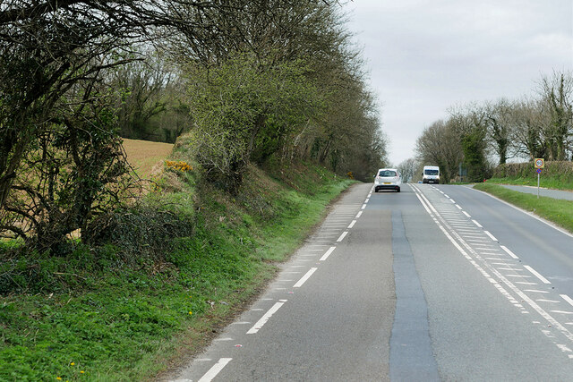
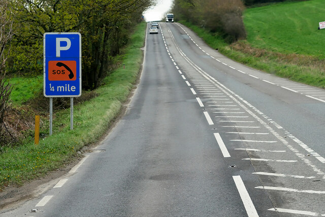
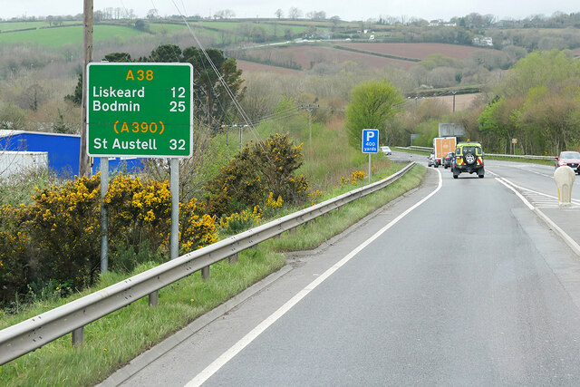
Despite its small size, Botusfleming is well-connected to neighboring areas. The A38 road runs nearby, providing easy access to Plymouth and other towns in Cornwall. The village also benefits from a regular bus service, ensuring convenient transportation options for residents and visitors alike.

While primarily a residential area, Botusfleming offers a peaceful and idyllic environment. The surrounding countryside provides ample opportunities for outdoor activities such as hiking, cycling, and exploring nature. Additionally, the village is close to the Tamar Valley, an Area of Outstanding Natural Beauty, where visitors can enjoy stunning landscapes and river views.

Although Botusfleming may be considered a quiet and secluded village, it benefits from its close proximity to larger towns and cities, making it an attractive place to live for those seeking a balance between rural tranquility and urban amenities.

If you have any feedback on the listing, please let us know in the comments section below.
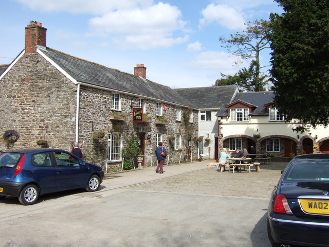
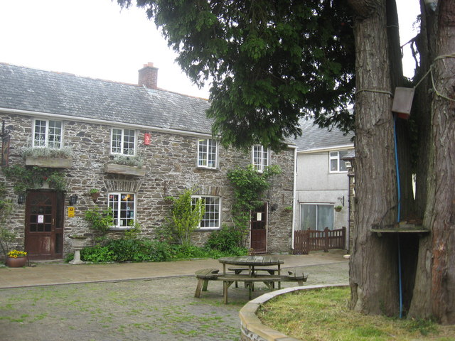
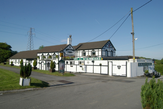
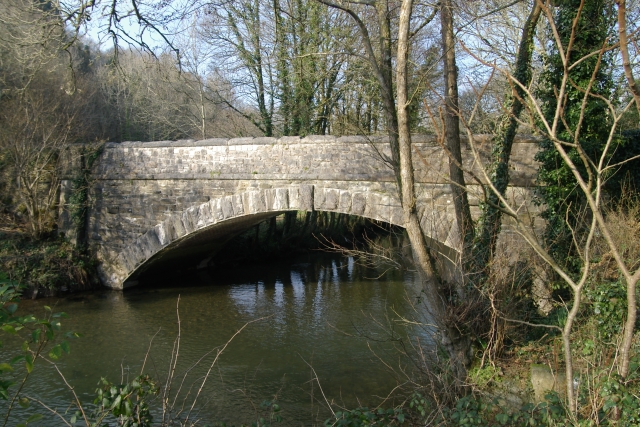
Botusfleming Images

Images are sourced within 2km of 50.431014/-4.249077 or Grid Reference SX4061. Thanks to Geograph Open Source API. All images are credited.

A38 Liskeard Road The A38 is a major A-class trunk route. When first designated in 1922, it ran from Derby to Plymouth but it was later extended at both ends so that it now runs for 292 miles from Mansfield in Nottinghamshire to Bodmin in Cornwall.

Prior to the opening of the M5 motorway in the 1960s and 1970s, the A38 formed the main "holiday route" from the Midlands to Somerset, Devon and Cornwall and the south-western section was notorious at holiday times for the congestion. Nowadays, for most of the southern section, the A38 is a fairly quiet road shadowing the M5 extremely closely; often running alongside the motorway as a single carriageway road. The section between Exeter and Plymouth is, however, a busy dual carriageway which serves as the southern extension of the M5 and is known as “the Devon Expressway”.

More information at <span class="nowrap"><a title="http://en.wikipedia.org/wiki/A38_road" rel="nofollow ugc noopener" href="http://en.wikipedia.org/wiki/A38_road">Link</a><img style="margin-left:2px;" alt="External link" title="External link - shift click to open in new window" src="https://s1.geograph.org.uk/img/external.png" width="10" height="10"/></span>  (Wikipedia) and <span class="nowrap"><a title="http://www.sabre-roads.org.uk/wiki/index.php?title=A38" rel="nofollow ugc noopener" href="http://www.sabre-roads.org.uk/wiki/index.php?title=A38">Link</a><img style="margin-left:2px;" alt="External link" title="External link - shift click to open in new window" src="https://s1.geograph.org.uk/img/external.png" width="10" height="10"/></span>  (SABRE).
A38 Liskeard Road
The A38 is a major A-class trunk route. When first designated in 1922, it ran from Derby to Plymouth but it was later extended at both ends so that it now runs for 292 miles from Mansfield in Nottinghamshire to Bodmin in Cornwall. Prior to the opening of the M5 motorway in the 1960s and 1970s, the A38 formed the main "holiday route" from the Midlands to Somerset, Devon and Cornwall and the south-western section was notorious at holiday times for the congestion. Nowadays, for most of the southern section, the A38 is a fairly quiet road shadowing the M5 extremely closely; often running alongside the motorway as a single carriageway road. The section between Exeter and Plymouth is, however, a busy dual carriageway which serves as the southern extension of the M5 and is known as “the Devon Expressway”. More information at LinkExternal link (Wikipedia) and LinkExternal link (SABRE).
A38 between Landrake and Saltash The A38 is a major A-class trunk route. When first designated in 1922, it ran from Derby to Plymouth but it was later extended at both ends so that it now runs for 292 miles from Mansfield in Nottinghamshire to Bodmin in Cornwall.

Prior to the opening of the M5 motorway in the 1960s and 1970s, the A38 formed the main "holiday route" from the Midlands to Somerset, Devon and Cornwall and the south-western section was notorious at holiday times for the congestion. Nowadays, for most of the southern section, the A38 is a fairly quiet road shadowing the M5 extremely closely; often running alongside the motorway as a single carriageway road. The section between Exeter and Plymouth is, however, a busy dual carriageway which serves as the southern extension of the M5 and is known as “the Devon Expressway”.

More information at <span class="nowrap"><a title="http://en.wikipedia.org/wiki/A38_road" rel="nofollow ugc noopener" href="http://en.wikipedia.org/wiki/A38_road">Link</a><img style="margin-left:2px;" alt="External link" title="External link - shift click to open in new window" src="https://s1.geograph.org.uk/img/external.png" width="10" height="10"/></span>  (Wikipedia) and <span class="nowrap"><a title="http://www.sabre-roads.org.uk/wiki/index.php?title=A38" rel="nofollow ugc noopener" href="http://www.sabre-roads.org.uk/wiki/index.php?title=A38">Link</a><img style="margin-left:2px;" alt="External link" title="External link - shift click to open in new window" src="https://s1.geograph.org.uk/img/external.png" width="10" height="10"/></span>  (SABRE).
A38 between Landrake and Saltash
The A38 is a major A-class trunk route. When first designated in 1922, it ran from Derby to Plymouth but it was later extended at both ends so that it now runs for 292 miles from Mansfield in Nottinghamshire to Bodmin in Cornwall. Prior to the opening of the M5 motorway in the 1960s and 1970s, the A38 formed the main "holiday route" from the Midlands to Somerset, Devon and Cornwall and the south-western section was notorious at holiday times for the congestion. Nowadays, for most of the southern section, the A38 is a fairly quiet road shadowing the M5 extremely closely; often running alongside the motorway as a single carriageway road. The section between Exeter and Plymouth is, however, a busy dual carriageway which serves as the southern extension of the M5 and is known as “the Devon Expressway”. More information at LinkExternal link (Wikipedia) and LinkExternal link (SABRE).
Approaching Vollards Lane, Hatt
Eastbound A38 near Burraton Blue signs giving advance notice of toll charges on the Tamar Bridge ahead (although traffic will have to negotiate the Saltash Tunnel before reaching the bridge).
Eastbound A38 near Burraton
Blue signs giving advance notice of toll charges on the Tamar Bridge ahead (although traffic will have to negotiate the Saltash Tunnel before reaching the bridge).
Westbound A38 at Carkeel The A38 is a major A-class trunk route. When first designated in 1922, it ran from Derby to Plymouth but it was later extended at both ends so that it now runs for 292 miles from Mansfield in Nottinghamshire to Bodmin in Cornwall.

Prior to the opening of the M5 motorway in the 1960s and 1970s, the A38 formed the main "holiday route" from the Midlands to Somerset, Devon and Cornwall and the south-western section was notorious at holiday times for the congestion. Nowadays, for most of the southern section, the A38 is a fairly quiet road shadowing the M5 extremely closely; often running alongside the motorway as a single carriageway road. The section between Exeter and Plymouth is, however, a busy dual carriageway which serves as the southern extension of the M5 and is known as “the Devon Expressway”.

More information at <span class="nowrap"><a title="http://en.wikipedia.org/wiki/A38_road" rel="nofollow ugc noopener" href="http://en.wikipedia.org/wiki/A38_road">Link</a><img style="margin-left:2px;" alt="External link" title="External link - shift click to open in new window" src="https://s1.geograph.org.uk/img/external.png" width="10" height="10"/></span>  (Wikipedia) and <span class="nowrap"><a title="http://www.sabre-roads.org.uk/wiki/index.php?title=A38" rel="nofollow ugc noopener" href="http://www.sabre-roads.org.uk/wiki/index.php?title=A38">Link</a><img style="margin-left:2px;" alt="External link" title="External link - shift click to open in new window" src="https://s1.geograph.org.uk/img/external.png" width="10" height="10"/></span>  (SABRE).
Westbound A38 at Carkeel
The A38 is a major A-class trunk route. When first designated in 1922, it ran from Derby to Plymouth but it was later extended at both ends so that it now runs for 292 miles from Mansfield in Nottinghamshire to Bodmin in Cornwall. Prior to the opening of the M5 motorway in the 1960s and 1970s, the A38 formed the main "holiday route" from the Midlands to Somerset, Devon and Cornwall and the south-western section was notorious at holiday times for the congestion. Nowadays, for most of the southern section, the A38 is a fairly quiet road shadowing the M5 extremely closely; often running alongside the motorway as a single carriageway road. The section between Exeter and Plymouth is, however, a busy dual carriageway which serves as the southern extension of the M5 and is known as “the Devon Expressway”. More information at LinkExternal link (Wikipedia) and LinkExternal link (SABRE).
St Mary's Church
St Mary's Church
Former Botus Fleming Wesleyan Chapel
Saltash Travelodge
Saltash Travelodge
Notter Bridge, near Saltash, Cornwall Notter Bridge over the River Lynher, near Saltash, Cornwall. The road over the bridge used to form part of the main A38 road into Cornwall until the road was realigned.
Notter Bridge, near Saltash, Cornwall
Notter Bridge over the River Lynher, near Saltash, Cornwall. The road over the bridge used to form part of the main A38 road into Cornwall until the road was realigned.
Quarry Cocks Lane, Notter Bridge, near Saltash A disused (and now re-used for a different purpose) quarry on Quarry Cocks Lane, Notter Bridge, near Saltash. The River Lynher runs just off to the right hand side of the picture.
Quarry Cocks Lane, Notter Bridge, near Saltash
A disused (and now re-used for a different purpose) quarry on Quarry Cocks Lane, Notter Bridge, near Saltash. The River Lynher runs just off to the right hand side of the picture.
Stoketon Cross, near Saltash Stoketon Cross, on the A38 near Saltash has been the scene of many serious road accidents. The road leading into the picture from the left is a fairly steep hill and traffic comes over the crest to sometimes meet slow traffic crossing its path across the staggered junction with inevitable consequences. The car heading towards the camera has come from the Saltash direction.
Stoketon Cross, near Saltash
Stoketon Cross, on the A38 near Saltash has been the scene of many serious road accidents. The road leading into the picture from the left is a fairly steep hill and traffic comes over the crest to sometimes meet slow traffic crossing its path across the staggered junction with inevitable consequences. The car heading towards the camera has come from the Saltash direction.
CJ Motors, Hatt, near Saltash CJ Motors, on the A388 Saltash to Callington road near Hatt. It now sits in a layby which was originally the route of the A388 before realignment. The main 132kv electric power lines run right overhead here.
CJ Motors, Hatt, near Saltash
CJ Motors, on the A388 Saltash to Callington road near Hatt. It now sits in a layby which was originally the route of the A388 before realignment. The main 132kv electric power lines run right overhead here.
The Crooked Inn, Stoketon There's a good few farm animals wandering around the grounds of this inn - especially ducks - and they're ducks with attitude too !
The Crooked Inn, Stoketon
There's a good few farm animals wandering around the grounds of this inn - especially ducks - and they're ducks with attitude too !
Holland Inn, Hatt, Saltash The Holland Inn, on the A388 at Hatt, near Saltash
Holland Inn, Hatt, Saltash
The Holland Inn, on the A388 at Hatt, near Saltash
Hatt service station, Saltash, Cornwall Hatt service station, just off the A388 at Hatt, near Saltash, Cornwall.
Hatt service station, Saltash, Cornwall
Hatt service station, just off the A388 at Hatt, near Saltash, Cornwall.
Notter Bridge Another view of Notter Bridge, this time from the western bank of the river.
Notter Bridge
Another view of Notter Bridge, this time from the western bank of the river.
The Notter Bridge Riverside Inn The Notter Bridge Riverside Inn, which is close to Notter Bridge, which spans the River Lynher.
The Notter Bridge Riverside Inn
The Notter Bridge Riverside Inn, which is close to Notter Bridge, which spans the River Lynher.
The Crooked Inn near Trematon A good spot to break the dash westward to Cornwall, and a warm welcome from the resident geese as well.
The Crooked Inn near Trematon
A good spot to break the dash westward to Cornwall, and a warm welcome from the resident geese as well.
Show me another place!

Botusfleming is located at Grid Ref: SX4061 (Lat: 50.431014, Lng: -4.249077)

Unitary Authority: Cornwall

Police Authority: Devon and Cornwall

What 3 Words

///managed.frames.desiring. Near Saltash, Cornwall

Nearby Locations

Botusfleming

Related Wikis

Botusfleming

Botus Fleming or Botusfleming (Cornish: Bosflumyes) is a village and civil parish in southeast Cornwall, England, United Kingdom. The 2001 census gives...

Hatt, Cornwall

Hatt is a hamlet in the civil parish of Botusfleming in east Cornwall, England, UK. It is on the A388 road from Callington to Saltash. Hatt House was built...

Carkeel

Carkeel is a hamlet north of Saltash in southeast Cornwall, England. == References ==

Notter, Cornwall

Notter and Notter Bridge are adjoining hamlets in southeast Cornwall, England, United Kingdom. They are situated in the civil parish of St Stephens-by...

Nearby Amenities

Located within 500m of 50.431014,-4.249077
Botus Fleming
Alt Name: Botusfleming
Name Kw: Pluw Vosflumyes
Place: village
Source Alt Name: OS_OpenData_StreetView
Lat/Long: 50.4300098/-4.2480802
Power: tower
Lat/Long: 50.4331027/-4.2521464
Power: tower
Lat/Long: 50.433241/-4.2485174
Power: tower
Lat/Long: 50.4333895/-4.2448482
Martyn Monument
Historic: monument
Lat/Long: 50.4306731/-4.2424768
Power: pole
Lat/Long: 50.4288464/-4.2539084
Power: pole
Lat/Long: 50.4329095/-4.2492762
Power: pole
Lat/Long: 50.4306508/-4.251886
Generator Method: photovoltaic
Generator Output Electricity: yes
Generator Source: solar
Generator Type: solar_photovoltaic_panel
Location: roof
Power: generator
Lat/Long: 50.4305138/-4.2479477
Fire Hydrant
Emergency: fire_hydrant
Fire Hydrant Diameter: 3"
Fire Hydrant Position: lane
Fire Hydrant Type: underground
Survey Date: 2023-01-28
Lat/Long: 50.4301663/-4.248202
Post Box
Collection Times: Mo-Fr 09:00; Sa 07:00
Operator: Royal Mail
Operator Wikidata: Q638098
Post Box Mounting: building
Post Box Type: wall
Ref: PL12 451
Royal Cypher: VR
Survey Date: 2023-01-28
Lat/Long: 50.4312042/-4.2489637
Grit Bin
Survey Date: 2023-01-28
Lat/Long: 50.4311108/-4.2491345
Fire Hydrant
Emergency: fire_hydrant
Fire Hydrant Diameter Signed: no
Fire Hydrant Position: lane
Fire Hydrant Type: underground
Survey Date: 2023-01-28
Lat/Long: 50.4319783/-4.2500901
Fire Hydrant
Emergency: fire_hydrant
Fire Hydrant Diameter Signed: no
Fire Hydrant Position: lane
Fire Hydrant Type: underground
Survey Date: 2023-01-28
Lat/Long: 50.4327548/-4.2508393
Fire Hydrant
Emergency: fire_hydrant
Fire Hydrant Diameter: 75
Fire Hydrant Position: lane
Fire Hydrant Type: underground
Survey Date: 2023-01-28
Lat/Long: 50.4311177/-4.2490225
Waste Basket
Survey Date: 2023-01-28
Lat/Long: 50.4311109/-4.2491188
HE Ref: 1329310
Fixme: draw area
Heritage: 2
Historic: pound
Listed Status: Grade II
Wikimedia Commons: File:Botusfleming Parish Pound - geograph.org.uk - 5667429.jpg
Lat/Long: 50.4308155/-4.248609
Bench
Backrest: yes
Survey Date: 2024-04-06
Lat/Long: 50.4334562/-4.2521555
Fire Hydrant
Emergency: fire_hydrant
Fire Hydrant Diameter: 3"
Fire Hydrant Position: lane
Fire Hydrant Type: underground
Survey Date: 2024-04-06
Lat/Long: 50.4300619/-4.2461926
Barrier: stile
Stile: stepover
Lat/Long: 50.4335392/-4.2525478
The data included in this document is from www.openstreetmap.org. The data is made available under ODbL.

Have you been to Botusfleming?

Leave your review of Botusfleming below (or comments, questions and feedback).