Botley

Settlement in Buckinghamshire

England

Botley

Undulating landscape between Chesham and Latimer
Undulating landscape between Chesham and Latimer Credit: Peter S

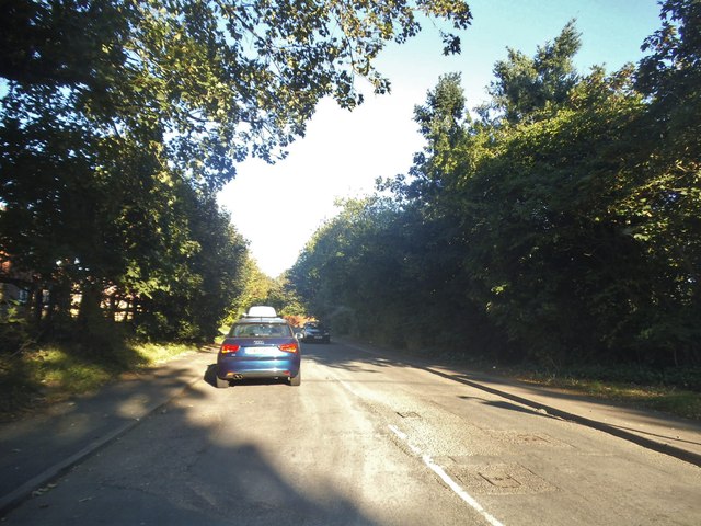
Botley is a small village located in the county of Buckinghamshire, England. Situated approximately 4 miles southeast of Aylesbury, it falls under the jurisdiction of the Aylesbury Vale district council. The village is nestled within a rural landscape, characterized by rolling hills and vast open fields.

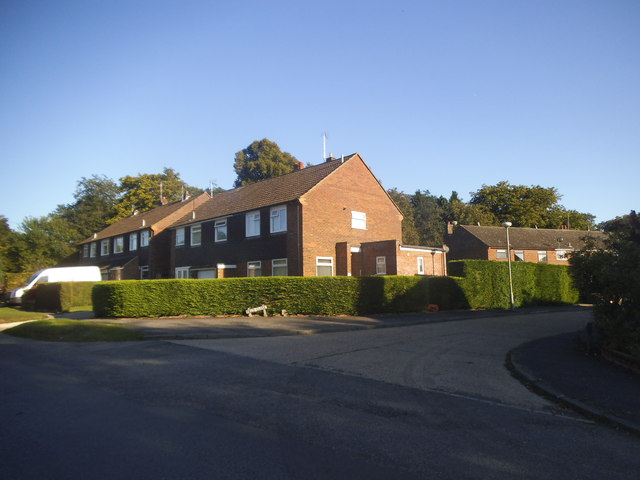
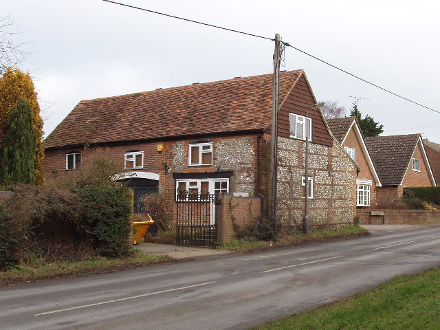
With a population of around 500 residents, Botley retains a strong sense of community. Its picturesque setting and tranquil atmosphere make it an appealing place for those seeking a peaceful retreat from city life. The village is known for its idyllic cottages, many of which date back to the 17th and 18th centuries, adding a charming historic touch to the area.

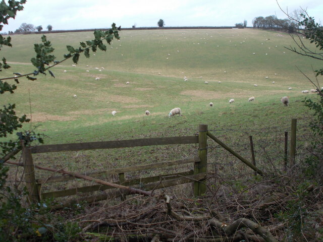
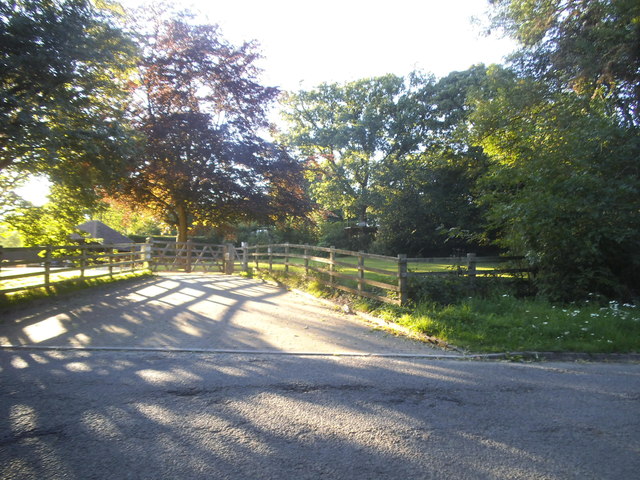
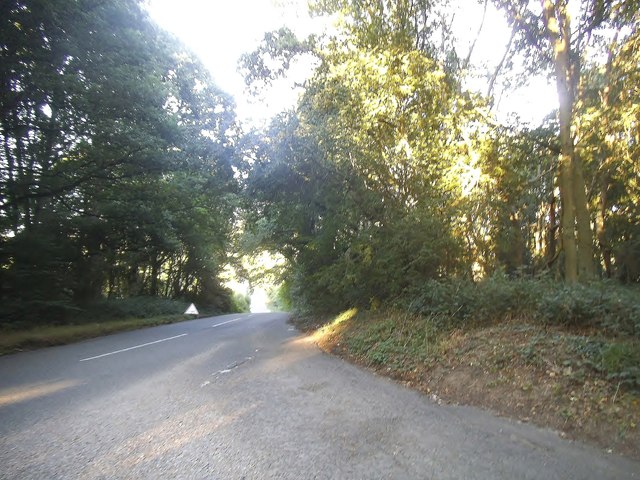
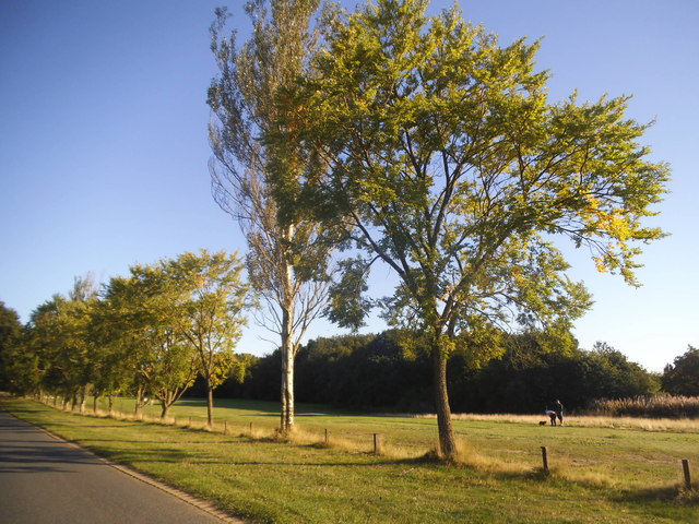
Botley is surrounded by beautiful countryside, offering numerous opportunities for outdoor activities such as hiking, cycling, and horse riding. The nearby Chiltern Hills, designated as an Area of Outstanding Natural Beauty, provide stunning scenery and a plethora of walking trails. The village is also home to various wildlife, including rabbits, foxes, and a variety of bird species.

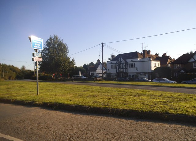
Despite its small size, Botley benefits from a few amenities. The village has a local pub, The Old Bell, which serves as a social hub for residents and visitors alike. Additionally, a village hall hosts community events and gatherings throughout the year.

Overall, Botley offers a peaceful and picturesque countryside retreat, ideal for those seeking a quiet and close-knit community within the Buckinghamshire countryside.

If you have any feedback on the listing, please let us know in the comments section below.

Botley Images

Images are sourced within 2km of 51.709243/-0.57769 or Grid Reference SP9802. Thanks to Geograph Open Source API. All images are credited.

Undulating landscape between Chesham and Latimer
Dry valley north east of Codmore Wood Road
Grazing sheep near Ashridge Farm
Trig point in Cowcroft Wood The triangulation pillar sits at 161 metres above sea level but it's not at the highest point locally.  Nearby Tylers Hill is at 170 metres.
Trig point in Cowcroft Wood
The triangulation pillar sits at 161 metres above sea level but it's not at the highest point locally. Nearby Tylers Hill is at 170 metres.
Pasture, Chesham A view across a dry valley from the footpath to the east of Hill Farm.
Pasture, Chesham
A view across a dry valley from the footpath to the east of Hill Farm.
Lycrome Road, Chesham
Lycrome Road at the junction of Field Close
Houses on Lycrombe Road, Chesham
Lye Green
Lye Green
Rushmere Road, Orchard Leigh
Torrington Farm on Grove Lane
Grove Lane, Orchard Leigh
Green Lane at the junction of Blackwell Hall Lane This leads to White End farm and was closed some time after 2008. The grass triangle was also replaced by the flat one here.
Green Lane at the junction of Blackwell Hall Lane
This leads to White End farm and was closed some time after 2008. The grass triangle was also replaced by the flat one here.
House entrance on Blackwell Hall Lane
Blackwell Hall Lane
Blackwell Hall Lane
Junction on Leyhill Road
Leyhill Common Looking towards The Swan pub
Leyhill Common
Looking towards The Swan pub
Row of trees on Leyhill Common
Show me another place!

Botley is located at Grid Ref: SP9802 (Lat: 51.709243, Lng: -0.57769)

Unitary Authority: Buckinghamshire

Police Authority: Thames Valley

What 3 Words

///member.upgrading.fault. Near Chesham, Buckinghamshire

Nearby Locations

Botley Ley Hill

Related Wikis

Botley, Buckinghamshire

Botley is a hamlet in the civil parish of Chesham, in Buckinghamshire, England.The hamlet name is Anglo Saxon in origin, and means Botta's Clearing. Botley...

Tyler's Hill

Tylers Hill is a hamlet in the civil parish of Latimer and Ley Hill, in the Buckinghamshire district, in the ceremonial county of Buckinghamshire, England...

Orchard Leigh

Orchard Leigh is a hamlet in the parish of Latimer in Buckinghamshire, England, located along the B4505 about 2 miles east of Chesham. It is in the civil...

Lye Green

Lye Green is a hamlet in the civil parish of Chesham in Buckinghamshire, England. It is located north east of Chesham. Lycrome Road runs through the centre...

Related Videos

Chorleywood to Chesham Walk | Walks Near London | E-M5 Mark III Vlog

swcwalks #swcwalks81 Marek Larwood goes on a walk from Chorleywood to Chesham, through the Chiltern Hills, taking in the ...

Chesham

A Walk In This Bucks Town.

[GB] 🇬🇧 Hiking 🥾 Day - Chess Valley Hike Part 2 - Fun Filled hike.

In this video, we take you on a breathtaking hike through the stunning Chess Valley in Hertfordshire, UK. Join us as we explore ...

Nearby Amenities

Located within 500m of 51.709243,-0.57769
Cowcroft
Landuse: farm
Note Retag: CS #48756035
Source: OS 1:25k
Lat/Long: 51.7049315/-0.578536
FIXME: ?building?
Source: npe;OS_OpenData_StreetView
Lat/Long: 51.7074908/-0.5830251
Tylers Hill
Place: hamlet
Wikidata: Q15054207
Lat/Long: 51.7056008/-0.5814301
Botley
Is In: Buckinghamshire
Place: village
Wikidata: Q4948738
Lat/Long: 51.7101501/-0.5785421
Grooms Farm
Place: farm
Source: OS_OpenData_StreetView
Lat/Long: 51.7101114/-0.5744323
Crab Tree Farm
Place: farm
Source: OS OpenData StreetView
Wikidata: Q26453224
Lat/Long: 51.7100951/-0.5707871
Turning Circle
Turning Circle: hammer
Lat/Long: 51.7080905/-0.5724948
Turning Circle
Turning Circle: square
Lat/Long: 51.7079084/-0.5711726
Power: pole
Lat/Long: 51.7069368/-0.57362
Power: pole
Source: Bing
Lat/Long: 51.7078329/-0.5748077
Power: pole
Source: Bing
Lat/Long: 51.7073323/-0.574151
Power: pole
Source: Bing
Lat/Long: 51.7072709/-0.5712143
Power: pole
Source: Bing
Lat/Long: 51.7071653/-0.57213
Power: pole
Lat/Long: 51.7086179/-0.5758221
Joiner's Close
Place: residence
Lat/Long: 51.7111687/-0.5727598
Power: pole
Lat/Long: 51.7135669/-0.5794771
Post Box
Collection Times: Mo-Fr 09:00; Sa 07:00
Operator: Royal Mail
Post Box Type: lamp
Ref: HP5 7D
Royal Cypher: EIIR
Royal Cypher Wikidata: Q33102113
Source: survey
Survey Date: 2015-08-23
Lat/Long: 51.709482/-0.5849117
Post Box
Collection Times: Mo-Fr 16:00; Sa 09:45
Operator: Royal Mail
Post Box Type: wall
Ref: HP5 138
Royal Cypher: GVIR
Royal Cypher Wikidata: Q33102169
Source: survey
Survey Date: 2015-08-23
Lat/Long: 51.7103187/-0.5782618
Direction: 260
Generator Method: photovoltaic
Generator Output Electricity: yes
Generator Solar Modules: 12
Generator Source: solar
Generator Type: solar_photovoltaic_panel
Location: roof
Power: generator
Lat/Long: 51.7077626/-0.5715106
Direction: 170
Generator Method: photovoltaic
Generator Output Electricity: yes
Generator Solar Modules: 20
Generator Source: solar
Generator Type: solar_photovoltaic_panel
Location: roof
Power: generator
Lat/Long: 51.7082961/-0.5708479
Direction: 160
Generator Method: photovoltaic
Generator Output Electricity: yes
Generator Solar Modules: 7
Generator Source: solar
Generator Type: solar_photovoltaic_panel
Location: roof
Power: generator
Lat/Long: 51.7095772/-0.5791723
Direction: 155
Generator Method: photovoltaic
Generator Output Electricity: yes
Generator Solar Modules: 10
Generator Source: solar
Generator Type: solar_photovoltaic_panel
Location: roof
Power: generator
Lat/Long: 51.7093888/-0.5847178
Direction: 150
Generator Method: photovoltaic
Generator Output Electricity: yes
Generator Solar Modules: 12
Generator Source: solar
Generator Type: solar_photovoltaic_panel
Location: roof
Power: generator
Lat/Long: 51.7086008/-0.5848602
Direction: 160
Generator Method: photovoltaic
Generator Output Electricity: yes
Generator Solar Modules: 6
Generator Source: solar
Generator Type: solar_photovoltaic_panel
Location: roof
Power: generator
Lat/Long: 51.7098165/-0.578752
Direction: 160
Generator Method: photovoltaic
Generator Output Electricity: yes
Generator Solar Modules: 12
Generator Source: solar
Generator Type: solar_photovoltaic_panel
Location: roof
Power: generator
Lat/Long: 51.7112217/-0.5733143
Direction: 160
Generator Method: photovoltaic
Generator Output Electricity: yes
Generator Solar Modules: 16
Generator Source: solar
Generator Type: solar_photovoltaic_panel
Location: roof
Power: generator
Lat/Long: 51.7092105/-0.5715383
Direction: 160
Generator Method: photovoltaic
Generator Output Electricity: yes
Generator Solar Modules: 42
Generator Source: solar
Generator Type: solar_photovoltaic_panel
Location: roof
Power: generator
Lat/Long: 51.7095498/-0.5719763
Direction: 170
Generator Method: photovoltaic
Generator Output Electricity: yes
Generator Solar Modules: 12
Generator Source: solar
Generator Type: solar_photovoltaic_panel
Location: roof
Power: generator
Lat/Long: 51.7099655/-0.581729
Power: pole
Lat/Long: 51.7069904/-0.5736919
Power: pole
Lat/Long: 51.7122777/-0.5815356
Fixme: solar panels?
Lat/Long: 51.7099854/-0.5735965
Direction: 185
Generator Method: photovoltaic
Generator Output Electricity: yes
Generator Solar Modules: 16
Generator Source: solar
Generator Type: solar_photovoltaic_panel
Location: roof
Power: generator
Lat/Long: 51.7097354/-0.5763207
The data included in this document is from www.openstreetmap.org. The data is made available under ODbL.

Have you been to Botley?

Leave your review of Botley below (or comments, questions and feedback).