Towngate

Settlement in Cumberland Eden

England

Towngate

View across River Eden from its west bank near Low House
View across River Eden from its west bank near Low House Credit: Luke Shaw

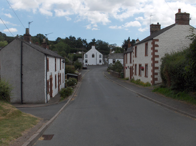
Towngate is a small village located in the county of Cumberland, England. Situated in the picturesque countryside, it is nestled between rolling hills and green meadows, offering residents and visitors a tranquil and idyllic setting. With a population of approximately 500 residents, Towngate retains a close-knit community feel.

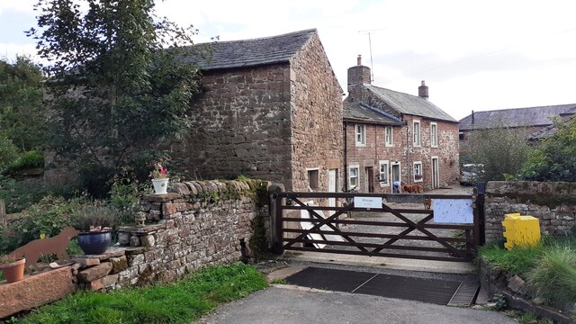
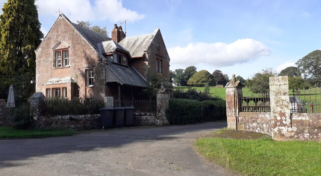
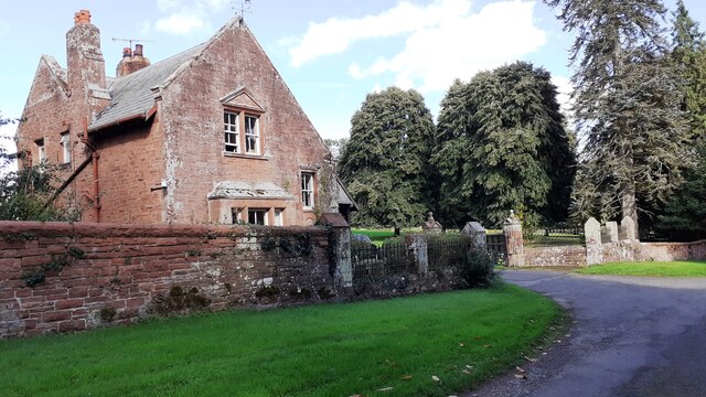
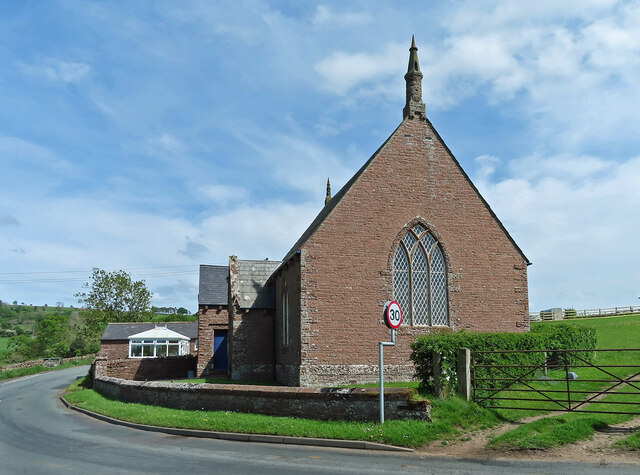
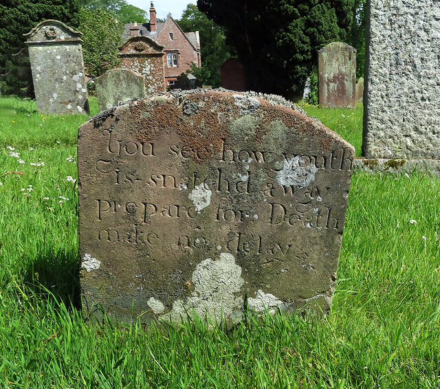
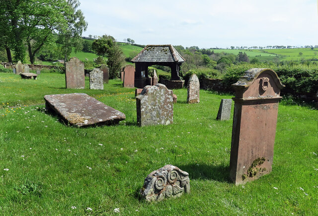
The village is characterized by its charming and well-preserved architecture. Traditional stone cottages line the narrow streets, giving Towngate a timeless and rustic charm. The local church, St. Mary's, is a prominent feature, with its striking bell tower visible from various vantage points in the village. The church dates back to the 12th century and is known for its beautiful stained glass windows.

Towngate boasts a range of amenities to cater to the needs of its residents. The village has a small convenience store where locals can find essential groceries and supplies. Additionally, there is a cozy pub, The Rose and Crown, serving traditional pub fare and providing a gathering place for villagers.

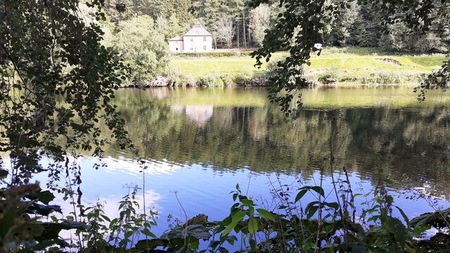
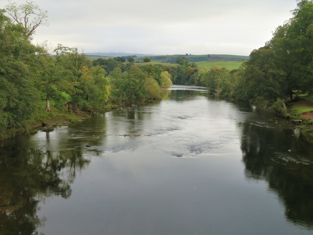
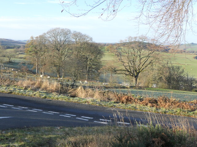
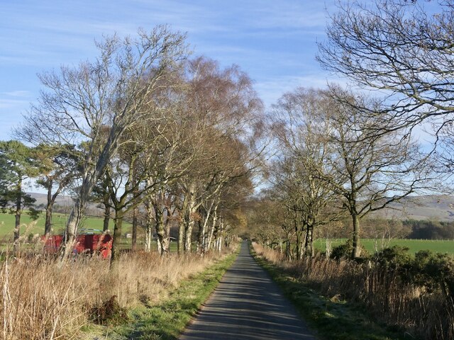
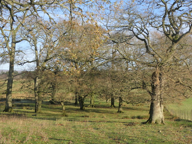
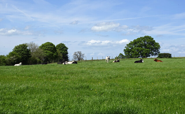
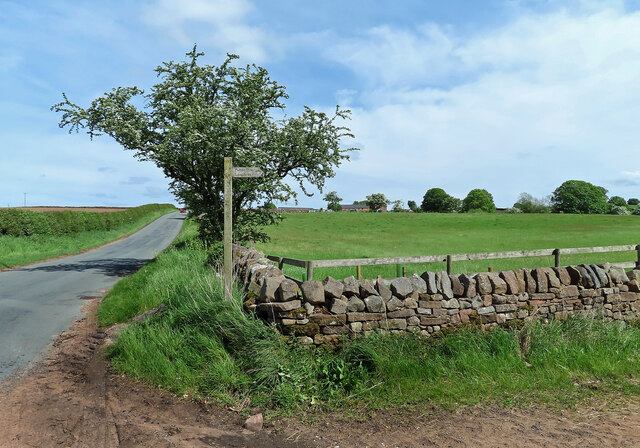
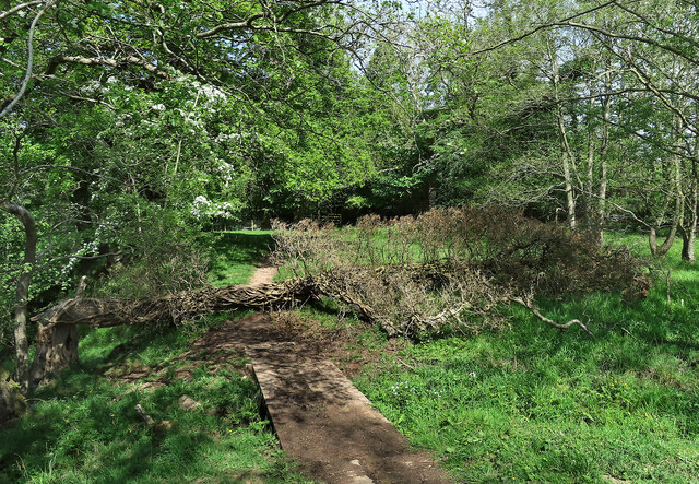
The surrounding countryside offers ample opportunities for outdoor activities. There are numerous walking trails that wind through the rolling hills, providing breathtaking views of the countryside. The nearby River Derwent is a popular spot for fishing and boating enthusiasts.

Overall, Towngate offers a peaceful and picturesque setting for its residents, with its charming architecture, close-knit community, and access to the beautiful Cumberland countryside.

If you have any feedback on the listing, please let us know in the comments section below.

Towngate Images

Images are sourced within 2km of 54.813981/-2.7379391 or Grid Reference NY5246. Thanks to Geograph Open Source API. All images are credited.

View across River Eden from its west bank near Low House
Drybeck Farm
Drybeck Farm
The Lodge and entrance to Low House
The Lodge at the entrance driveway to Low House
Downstream along the Eden The Eden is a fine mature river by the time it has reached Armathwaite. The only English river to flow northwards for most of its course.
Downstream along the Eden
The Eden is a fine mature river by the time it has reached Armathwaite. The only English river to flow northwards for most of its course.
Road junction by Ruscroft A frosty morning with icy roads.
Road junction by Ruscroft
A frosty morning with icy roads.
Ruckcroft to Broomrigg Road Must remember the extra g in rigg here.  An icy morning.
Ruckcroft to Broomrigg Road
Must remember the extra g in rigg here. An icy morning.
Oakwood, Broomrigg
Oakwood, Broomrigg
Farmland near Ainstable Good grazing land covers much of the farmland in this area. Viewed from the churchyard.
Farmland near Ainstable
Good grazing land covers much of the farmland in this area. Viewed from the churchyard.
Road junction at Ainstable The notice gives information about local events that celebrate the Queen’s Platinum Jubilee.
Road junction at Ainstable
The notice gives information about local events that celebrate the Queen’s Platinum Jubilee.
Ainstable Methodist Church Located on the western edge of the village at Rowfoot.
Ainstable Methodist Church
Located on the western edge of the village at Rowfoot.
The Heather Glen Country House Hotel Located on the east side of Ainstable village.
The Heather Glen Country House Hotel
Located on the east side of Ainstable village.
Footpath near Ainstable This path is part of a local network of routes.
Footpath near Ainstable
This path is part of a local network of routes.
Footpath near Armathwaite The path lies alongside the River Eden. A fallen tree had created a minor obstacle.
Footpath near Armathwaite
The path lies alongside the River Eden. A fallen tree had created a minor obstacle.
A spooky old oak It’s not too difficult to imagine scary things hiding in this old tree.
A spooky old oak
It’s not too difficult to imagine scary things hiding in this old tree.
A warning message This is the grave of Matthew Wilson in Ainstable churchyard. The date of death isn’t legible but the stone is typical of the 18th century. The inscription reads:
You see how youth
is snatched away
prepare for Death
make no delay.
A warning message
This is the grave of Matthew Wilson in Ainstable churchyard. The date of death isn’t legible but the stone is typical of the 18th century. The inscription reads: You see how youth is snatched away prepare for Death make no delay.
A winged soul at St Michael’s A closer look at this interesting old stone. The carving represents the departed’s soul rising up to Heaven. Unfortunately, the sunken stone was too weathered to make out any other information.
A winged soul at St Michael’s
A closer look at this interesting old stone. The carving represents the departed’s soul rising up to Heaven. Unfortunately, the sunken stone was too weathered to make out any other information.
In St Michael’s graveyard This view looks towards the lych gate at the entrance. The sunken stone in the foreground carries the carving of a winged soul.
In St Michael’s graveyard
This view looks towards the lych gate at the entrance. The sunken stone in the foreground carries the carving of a winged soul.
Show me another place!

Towngate is located at Grid Ref: NY5246 (Lat: 54.813981, Lng: -2.7379391)

Administrative County: Cumbria

District: Eden

Police Authority: Cumbria

What 3 Words

///approvals.amended.flattens. Near Wetheral, Cumbria

Nearby Locations

Ainstable Towngate

Related Wikis

Ainstable

Ainstable is a village and civil parish in the English county of Cumbria. The parish stretches from the banks of the River Eden to the summits of the North...

Low House, Wetheral

Low House is an 18th-century Georgian manor house located one and a half miles north of the village of Armathwaite in the Eden Valley of Cumbria, England...

Armathwaite

Armathwaite is a village in the English ceremonial county of Cumbria. Historically within the county of Cumberland, Armathwaite lies on the River Eden...

Armathwaite railway station

Armathwaite is a railway station on the Settle and Carlisle Line, which runs between Carlisle and Leeds via Settle. The station, situated 9 miles 75 chains...

Nearby Amenities

Located within 500m of 54.813981,-2.7379391
Towngate
Place: hamlet
Source: NPE
Lat/Long: 54.8133743/-2.7380364
Give Way
Direction: forward
Lat/Long: 54.8102344/-2.7389223
Give Way
Direction: forward
Lat/Long: 54.810192/-2.739266
Give Way
Direction: backward
Lat/Long: 54.8103208/-2.7391708
Power: pole
Lat/Long: 54.8100812/-2.736466
Power: pole
Lat/Long: 54.8108188/-2.7359416
Power: pole
Lat/Long: 54.8129431/-2.7362757
Power: pole
Lat/Long: 54.8106314/-2.7360761
Generator Method: photovoltaic
Generator Output Electricity: yes
Generator Source: solar
Generator Type: solar_photovoltaic_panel
Power: generator
Lat/Long: 54.8149777/-2.7384953
Power: pole
Lat/Long: 54.8134353/-2.7306344
The data included in this document is from www.openstreetmap.org. The data is made available under ODbL.

Have you been to Towngate?

Leave your review of Towngate below (or comments, questions and feedback).