Tolleshunt Knights
Settlement in Essex Maldon
England
Tolleshunt Knights

Tolleshunt Knights is a small village located in the county of Essex, England. Situated approximately 8 miles southeast of the town of Colchester, it lies within the Tendring district. With a population of around 1,000 residents, Tolleshunt Knights boasts a close-knit community and a peaceful rural atmosphere.
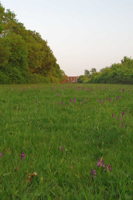
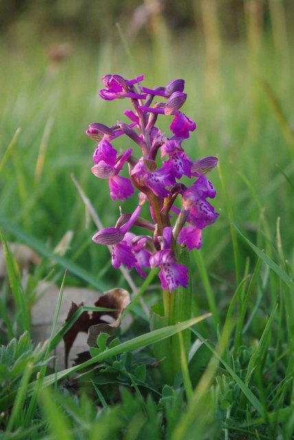
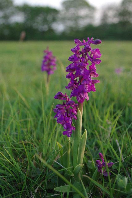
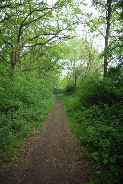
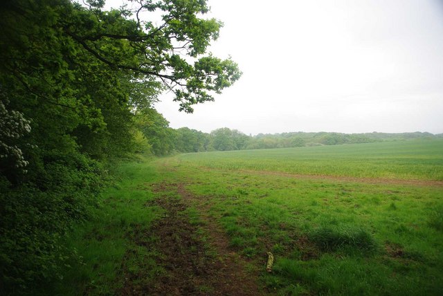
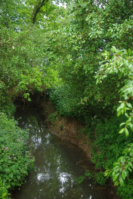
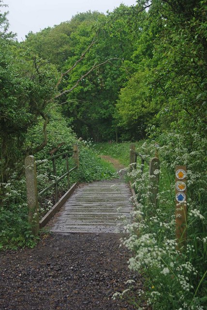
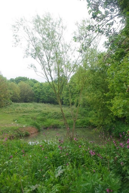
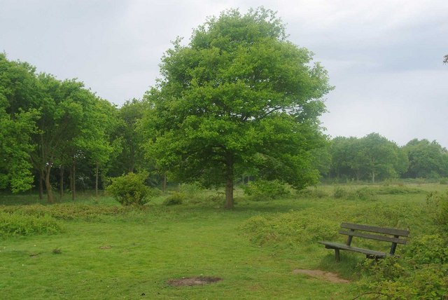
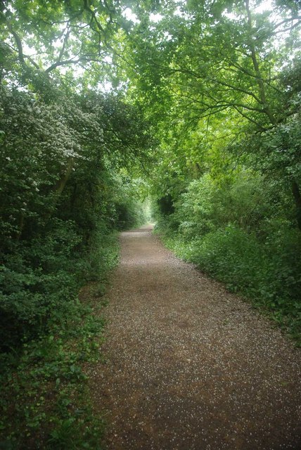
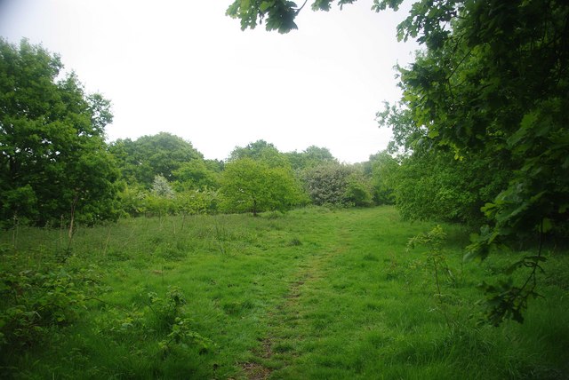
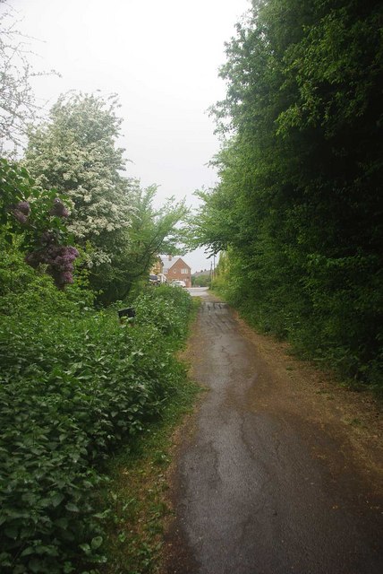
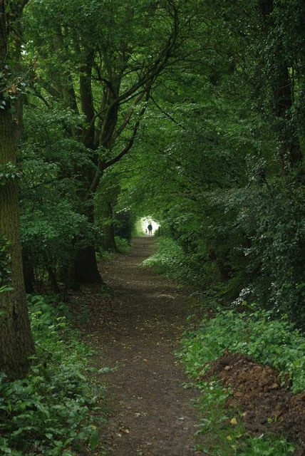
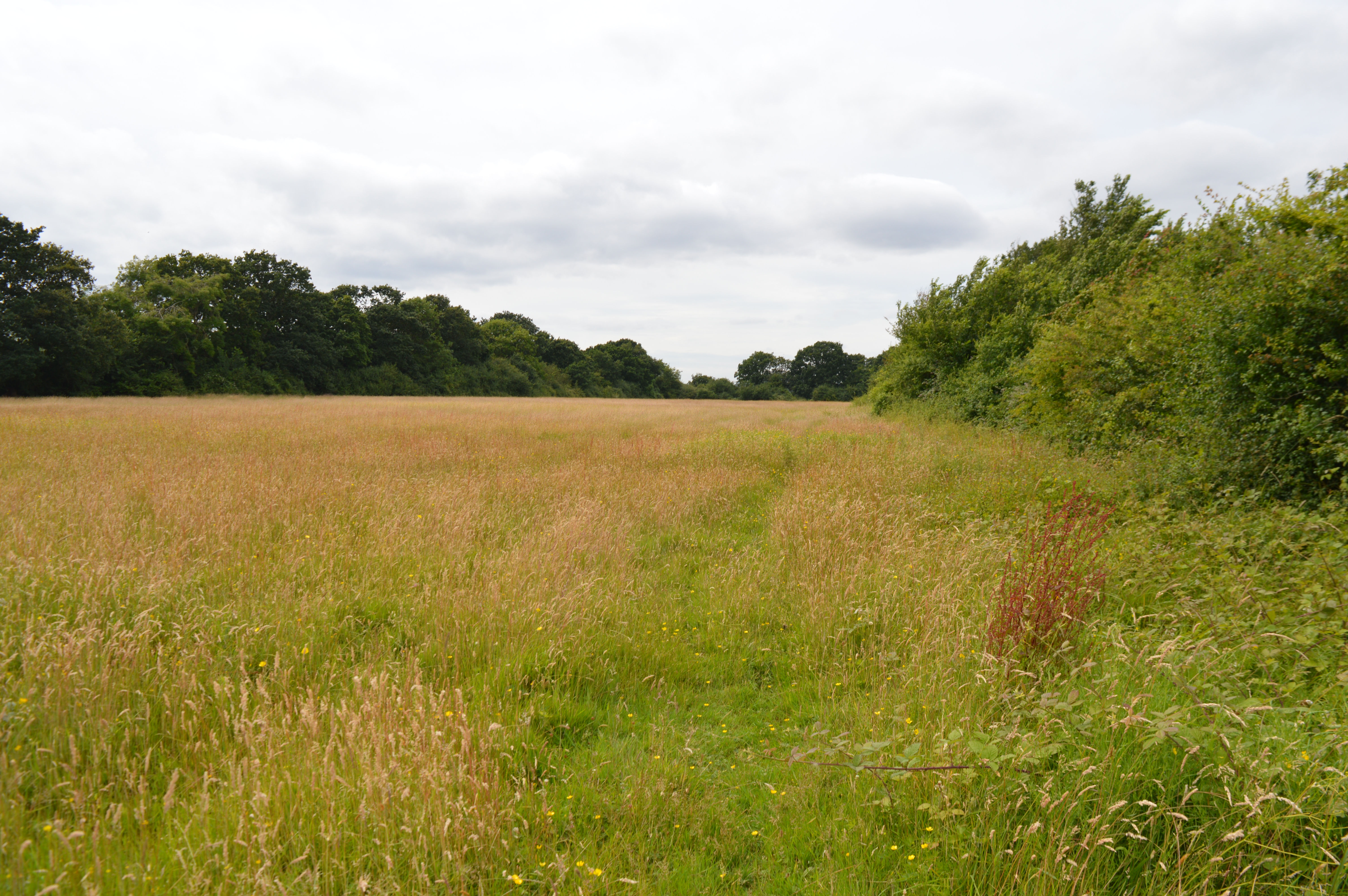
The village is known for its picturesque countryside, characterized by rolling hills, charming meadows, and meandering streams. The surrounding farmland is primarily used for agriculture, particularly arable farming and livestock rearing. This pastoral landscape offers residents and visitors the opportunity to enjoy tranquil walks and admire the natural beauty of the area.
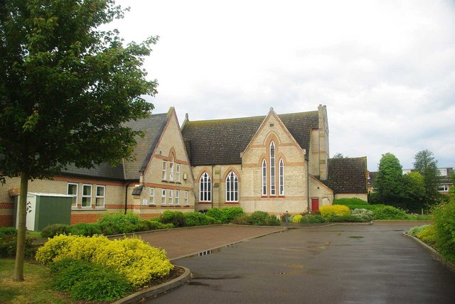
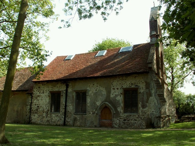
Tolleshunt Knights is rich in history, with evidence of human settlement dating back to the Roman period. The local church, St. Nicholas, is a prominent feature of the village, dating back to the 13th century. Its distinctive architecture and historical significance make it a popular attraction for history enthusiasts and visitors alike.
Despite its small size, Tolleshunt Knights offers a range of amenities to cater to the needs of its residents. These include a village hall, a primary school, a pub, and a post office. The village also hosts various community events throughout the year, such as fairs and festivals, fostering a sense of unity and camaraderie among its inhabitants.
In conclusion, Tolleshunt Knights is a charming village in Essex, England, known for its idyllic rural setting, historical landmarks, and vibrant community spirit.
If you have any feedback on the listing, please let us know in the comments section below.
Tolleshunt Knights Images
Images are sourced within 2km of 51.802806/0.763582 or Grid Reference TL9015. Thanks to Geograph Open Source API. All images are credited.


Tolleshunt Knights is located at Grid Ref: TL9015 (Lat: 51.802806, Lng: 0.763582)
Administrative County: Essex
District: Maldon
Police Authority: Essex
What 3 Words
///ashes.waistcoat.animates. Near Tolleshunt Knights, Essex
Nearby Locations
Related Wikis

Tolleshunt Knights railway station
Tolleshunt Knights railway station was on the Kelvedon and Tollesbury Light Railway, serving the village of Tolleshunt Knights, Essex. The station was...

Kelvedon and Tollesbury Light Railway
The Kelvedon and Tollesbury Light Railway was a locally promoted railway company, intended to open up an agricultural district that suffered from poor...
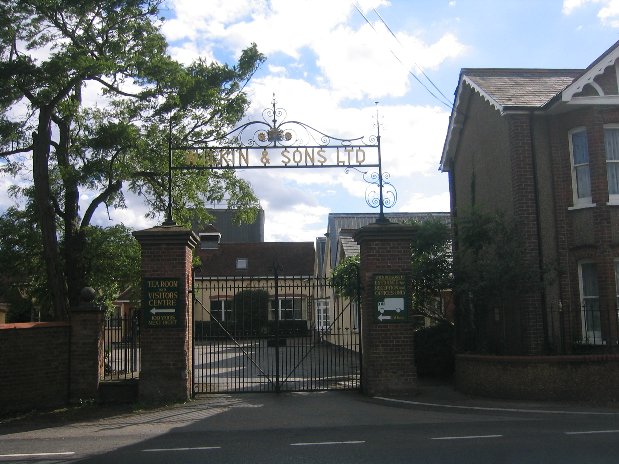
Wilkin & Sons
Wilkin & Sons Limited is a manufacturer of preserves, marmalades and associated products established in Tiptree, Essex, England in 1885, and known for...
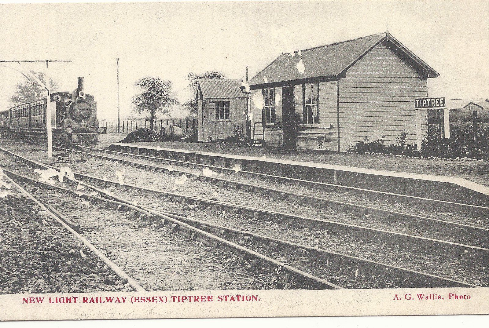
Tiptree railway station
Tiptree railway station was on the Kelvedon and Tollesbury Light Railway, serving the village of Tiptree, Essex, England. The station was 3 miles 39 chains...
Tolleshunt Knights
Tolleshunt Knights is a village and civil parish in the English county of Essex. The Parish has a Parish council, and lies within the area of Maldon District...
Oxley Green
Oxley Green is a hamlet on the B1023 road, in between the villages of Tiptree and Tolleshunt D'Arcy, in the Maldon District of Essex. == References... ==
Oxley Meadow
Oxley Meadow is a 3.2-hectare (7.9-acre) nature reserve in Tolleshunt Knights, near Tiptree in Essex. It is managed by the Essex Wildlife Trust.The site...

Tiptree
Tiptree is a village and civil parish in the English county of Essex, situated 10 miles (16 km) south-west of Colchester and around 50 miles (80 km) north...
Nearby Amenities
Located within 500m of 51.802806,0.763582Have you been to Tolleshunt Knights?
Leave your review of Tolleshunt Knights below (or comments, questions and feedback).