Boslymon

Settlement in Cornwall

England

Boslymon

B3268 south of Trebyan
B3268 south of Trebyan Credit: David Smith

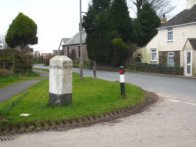
Boslymon is a small village located in the county of Cornwall, England. Situated in the southwestern part of the country, it lies about 3 miles north of the town of Newquay and is surrounded by picturesque countryside and rolling hills. The village itself is home to a population of around 500 residents, making it a tight-knit and close community.

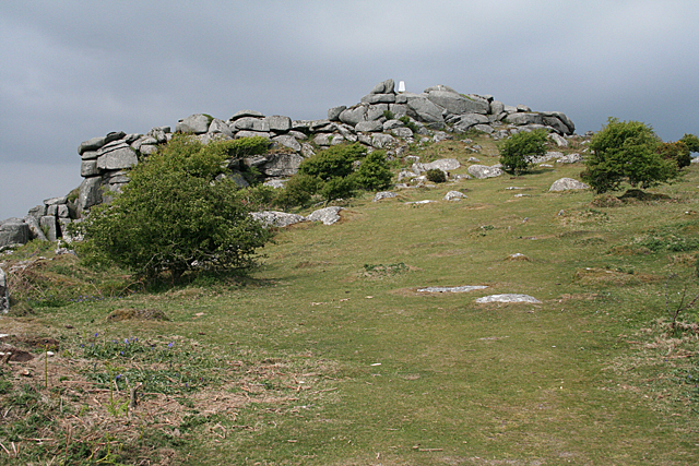
Boslymon boasts a rich history, with evidence of human activity dating back to the Neolithic period. The village is dotted with several ancient landmarks, including standing stones and burial mounds, which serve as a reminder of its past. The area is also known for its mining heritage, with remnants of old tin and copper mines still visible in the surrounding landscape.

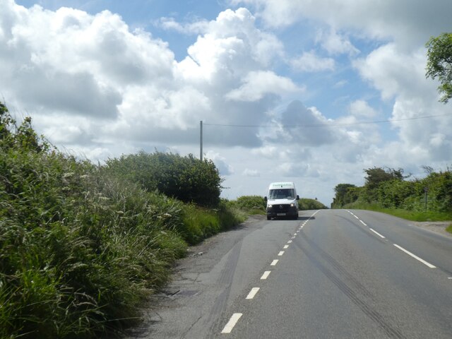
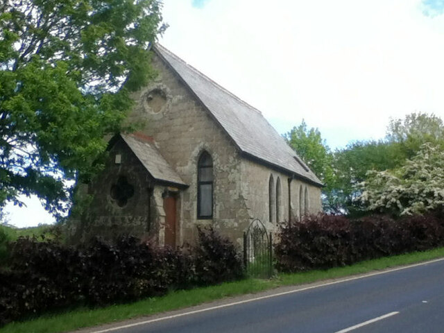
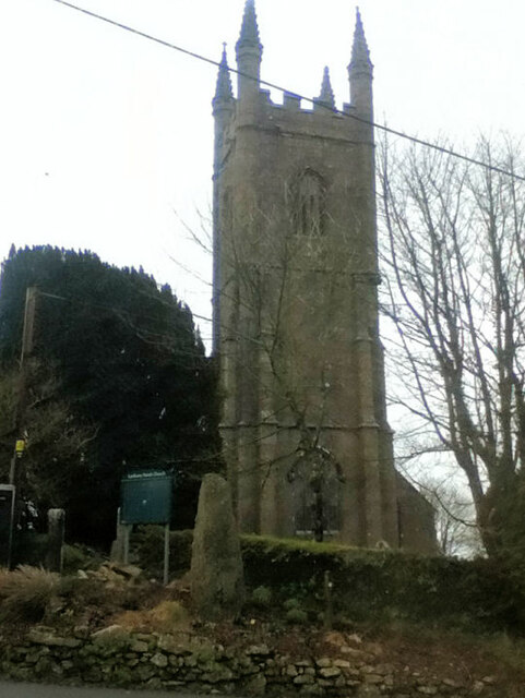
Despite its small size, Boslymon offers a range of amenities for both locals and visitors. The village is home to a quaint church, a primary school, a few local shops, and a traditional pub, which serves as a hub for social gatherings. The surrounding countryside provides ample opportunities for outdoor activities, such as hiking, cycling, and horseback riding, with numerous trails and pathways crisscrossing the area.

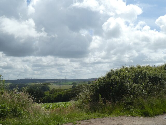
Boslymon is renowned for its natural beauty, with lush green fields, meandering streams, and breathtaking views of the nearby coastline. The village is located just a short drive away from several stunning beaches, including Fistral Beach and Watergate Bay, making it an ideal destination for those seeking a coastal retreat.

Overall, Boslymon is a charming and peaceful village that offers a slice of rural life in the heart of Cornwall. Its rich history, stunning landscapes, and warm community make it an appealing place to visit or call home.

If you have any feedback on the listing, please let us know in the comments section below.
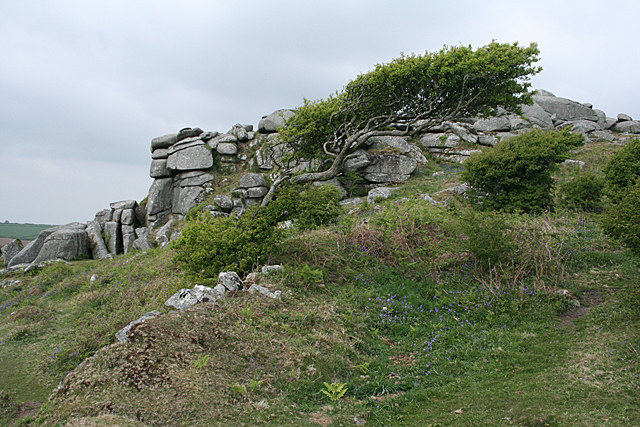
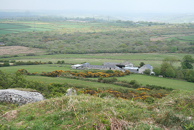
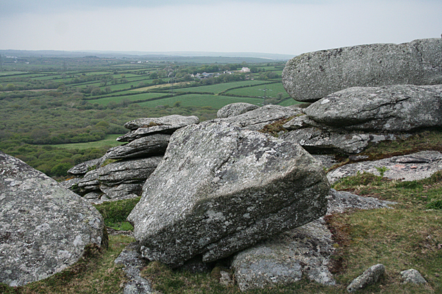
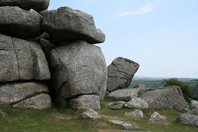
Boslymon Images

Images are sourced within 2km of 50.417407/-4.7039882 or Grid Reference SX0861. Thanks to Geograph Open Source API. All images are credited.

B3268 south of Trebyan
View eastwards from B3286
Lay-by on B3269 north of No Man's Land
Former Wesleyan Methodist Chapel
Former New Ebenezer Chapel
Entrance to Lanlivery
St Brevita's  Church
St Brevita's Church
St Brevita's Church
St Brevita's Church
Lostwithiel: at Hillhead The house stands within a triangle of roads.
Lostwithiel: at Hillhead
The house stands within a triangle of roads.
Lostwithiel: Restormel Royal Mine Looking down into a deep cutting by the probable entrance to the deep adit of the iron mine, which had its most productive period in the nineteenth century. It was visited by Queen Victoria in the 1840s, hence the 'Royal' appellation
Lostwithiel: Restormel Royal Mine
Looking down into a deep cutting by the probable entrance to the deep adit of the iron mine, which had its most productive period in the nineteenth century. It was visited by Queen Victoria in the 1840s, hence the 'Royal' appellation
Lostwithiel: towards Barngate Farm The farm lies directly ahead, just to the west of the lode of the Restormel Royal Mine. The iron lode ran in a north-south direction, roughly parallel with this raised footpath. The path may once have served as a mine access track or as a tramway. See <a href="https://www.geograph.org.uk/photo/2381215">SX0960 : Lostwithiel: by the site of Restormel iron mine</a> for the view the other way. In Lostwithiel parish
Lostwithiel: towards Barngate Farm
The farm lies directly ahead, just to the west of the lode of the Restormel Royal Mine. The iron lode ran in a north-south direction, roughly parallel with this raised footpath. The path may once have served as a mine access track or as a tramway. See SX0960 : Lostwithiel: by the site of Restormel iron mine for the view the other way. In Lostwithiel parish
Lostwithiel: by the site of Restormel iron mine The Restormel Royal Mine site occupied a linear sett, running north-south, which included the woodland to the left. Workings were partly in an openwork and partly underground. 200,000 tons of iron ore was raised between the 1850s and closure in 1886. The ore was taken by tramway, which included an incline plane to lower wagons to the Fowey valley. Horses then hauled the freight to quays on the Fowey at Lostwithiel town
Lostwithiel: by the site of Restormel iron mine
The Restormel Royal Mine site occupied a linear sett, running north-south, which included the woodland to the left. Workings were partly in an openwork and partly underground. 200,000 tons of iron ore was raised between the 1850s and closure in 1886. The ore was taken by tramway, which included an incline plane to lower wagons to the Fowey valley. Horses then hauled the freight to quays on the Fowey at Lostwithiel town
Lostwithiel: road junction at Hillhead Turn left for Lostwithiel town, turn right for Bodmin. The lane beyond is one route through to Lanlivery
Lostwithiel: road junction at Hillhead
Turn left for Lostwithiel town, turn right for Bodmin. The lane beyond is one route through to Lanlivery
Lanlivery: tree and tor On Helman Tor
Lanlivery: tree and tor
On Helman Tor
Lanlivery: Higher Trevilmick Farm seen from Helman Tor. On the edge of Red Moor Nature Reserve. In Lanlivery parish
Lanlivery: Higher Trevilmick
Farm seen from Helman Tor. On the edge of Red Moor Nature Reserve. In Lanlivery parish
Lanlivery: on Helman Tor Looking north west towards Bokiddick and Bokiddick Downs
Lanlivery: on Helman Tor
Looking north west towards Bokiddick and Bokiddick Downs
Lanlivery: Logan Stone On Helman Tor. The Logan Stone is top, centre. In Lanlivery parish
Lanlivery: Logan Stone
On Helman Tor. The Logan Stone is top, centre. In Lanlivery parish
Lanlivery: Helman Tor The approach from the south; from the car park. The trig point on top of the tor has been painted white
Lanlivery: Helman Tor
The approach from the south; from the car park. The trig point on top of the tor has been painted white
Show me another place!

Boslymon is located at Grid Ref: SX0861 (Lat: 50.417407, Lng: -4.7039882)

Unitary Authority: Cornwall

Police Authority: Devon and Cornwall

What 3 Words

///roadways.lateral.gullible. Near Lostwithiel, Cornwall

Related Wikis

Redmoor, Cornwall

Redmoor is a hamlet in Cornwall, England, United Kingdom. == Geography == Redmoor is located 2 kilometres (1.2 mi) northwest of Lostwithiel in the civil...

Boslymon

Boslymon is a hamlet in Cornwall, England, United Kingdom three miles (5 km) south of Bodmin. It is in the civil parish of Lanlivery. == References ==

Red Moor (nature reserve)

Red Moor is a nature reserve and Site of Special Scientific Interest (SSSI), noted for its biological characteristics, near Lanlivery in mid Cornwall,...

Sweetshouse

Sweetshouse is a hamlet in Cornwall, England, United Kingdom. It is about one mile south of Lanhydrock. == References ==

Nearby Amenities

Located within 500m of 50.417407,-4.7039882
Bench
Lat/Long: 50.4138869/-4.7070751
Historic: boundary_stone
Inscription: Redmore
Note: A large slab of granite with Redmore inscribed. Not really a boundary
Lat/Long: 50.4139226/-4.706955
Redmoor
Place: hamlet
Lat/Long: 50.4183293/-4.7050842
The data included in this document is from www.openstreetmap.org. The data is made available under ODbL.

Have you been to Boslymon?

Leave your review of Boslymon below (or comments, questions and feedback).