Tivoli
Settlement in Cumberland Copeland
England
Tivoli
Tivoli is a small rural community located in the Cumberland County of Nova Scotia, Canada. Situated approximately 190 kilometers north of Halifax, the provincial capital, Tivoli is a picturesque village that offers a peaceful and serene environment for its residents.
The community is nestled amidst rolling hills, lush green meadows, and dense forests, providing breathtaking views of the surrounding natural landscape. Tivoli is primarily known for its agricultural heritage, with many residents engaged in farming and livestock breeding. The fertile soil and favorable climate of the region make it ideal for cultivating a variety of crops, including potatoes, corn, and wheat.
The village itself is home to a close-knit community of approximately 500 residents. The community prides itself on its strong sense of community spirit, evident through various local events and gatherings held throughout the year. Residents have access to essential amenities such as a community center, a small grocery store, and a post office.
Tivoli is also known for its proximity to outdoor recreational activities. The nearby Cobequid Mountains offer hiking and biking trails, while the nearby rivers and lakes provide opportunities for fishing and boating. The region is also abundant in wildlife, making it a popular spot for nature enthusiasts and birdwatchers.
Overall, Tivoli, Cumberland, offers a tranquil and idyllic setting for those seeking a peaceful rural lifestyle surrounded by natural beauty.
If you have any feedback on the listing, please let us know in the comments section below.
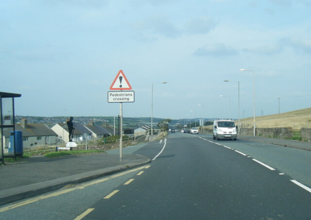
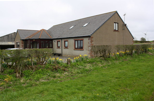
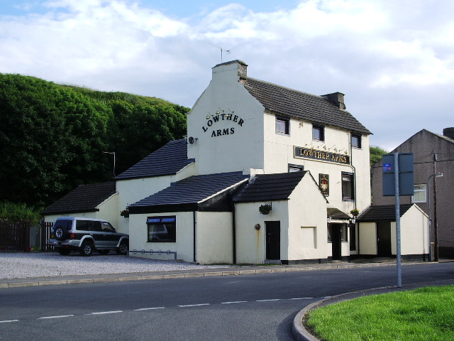
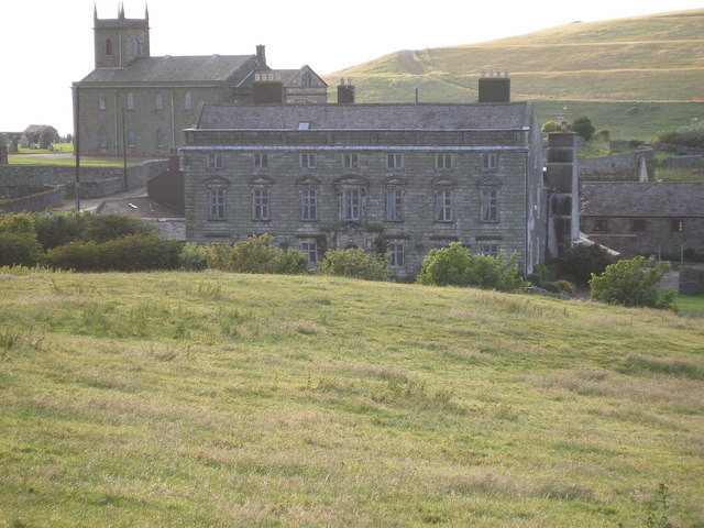
Tivoli Images
Images are sourced within 2km of 54.565108/-3.5635826 or Grid Reference NX9920. Thanks to Geograph Open Source API. All images are credited.


Tivoli is located at Grid Ref: NX9920 (Lat: 54.565108, Lng: -3.5635826)
Administrative County: Cumbria
District: Copeland
Police Authority: Cumbria
What 3 Words
///beep.stung.awestruck. Near Whitehaven, Cumbria
Nearby Locations
Related Wikis

Quality Corner
Quality Corner is a hamlet in the English county of Cumbria. Quality Corner is located about one mile east of the port of Whitehaven; its postal address...
Parton, Cumbria
Parton is a village and civil parish on the Cumbrian coast, overlooking the Solway Firth, 1¼ miles (2 km) from Whitehaven in England. The parish had a...

Moresby Parks railway station
Moresby Parks railway station was opened by the Cleator and Workington Junction Railway (C&WJR) in 1879. It was situated just north of the summit of the...
Moresby, Cumbria
Moresby is a small village and civil parish in the Borough of Copeland in Cumbria, England. It had a population of 1,280 at the 2001 census, increasing...
Millgrove railway station (England)
Millgrove railway station was a private station on the Cleator and Workington Junction Railway (C&WJR) main line from Moor Row to Workington Central. It...
Moresby Hall
Moresby Hall is a former manor house and hotel in Parton, Cumbria, England, overlooking the Cumbrian Fells, and just to the north of the village of Moresby...
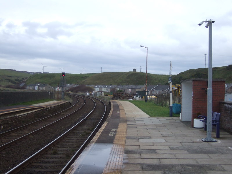
Parton railway station
Parton railway station is a railway station serving the village of Parton in Cumbria, England. It is on the Cumbrian Coast Line, which runs between Carlisle...
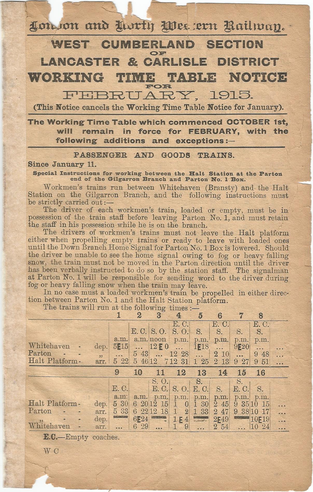
Parton Halt railway station
Parton Halt railway station was opened by the LNWR and FR Joint Railway ("The Joint Line") in January 1915 and closed by the LMSR fourteen years later...
Nearby Amenities
Located within 500m of 54.565108,-3.5635826Have you been to Tivoli?
Leave your review of Tivoli below (or comments, questions and feedback).