Tittenhurst

Settlement in Berkshire

England

Tittenhurst

The Forge 86a Upper Village Road Sunninghill The house was built 25 years ago following demolition of the original factory (The Forge). The climber on the right is Solanum jasminoides 'Album', still flowering profusely in October.
The Forge 86a Upper Village Road Sunninghill Credit: Mick Crawley

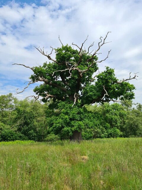
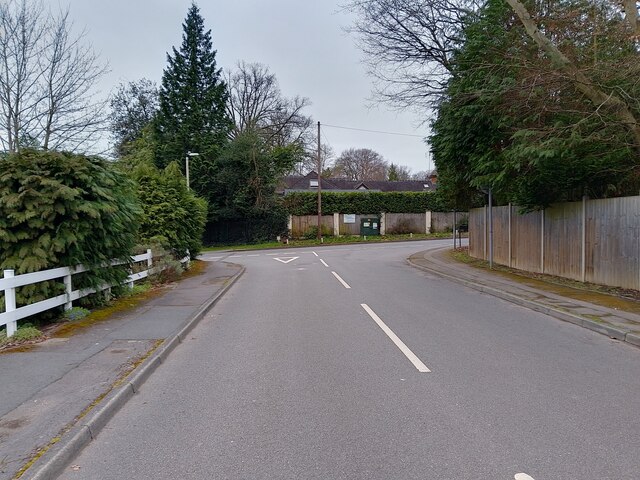
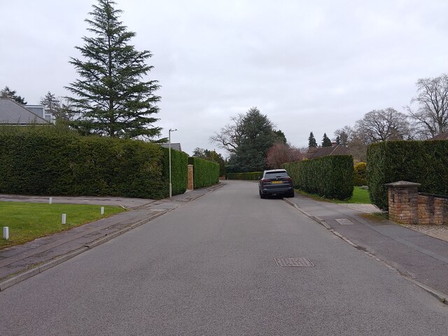
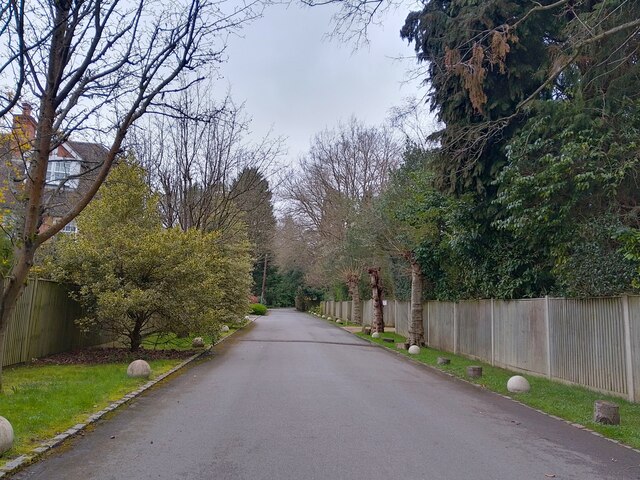
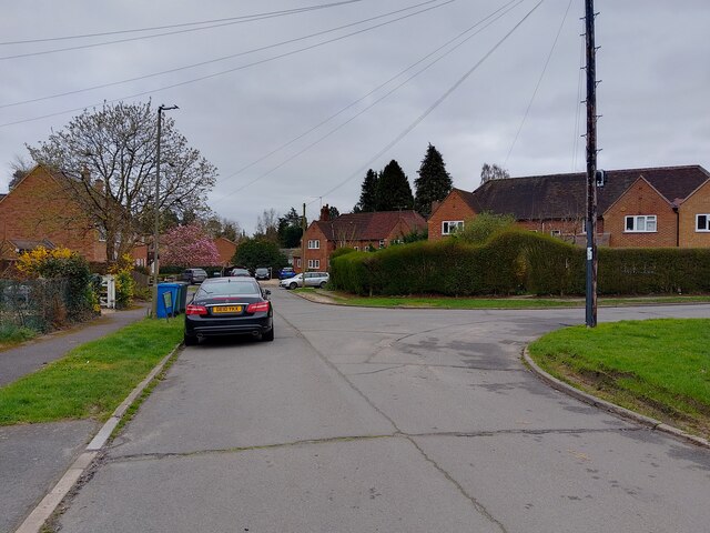
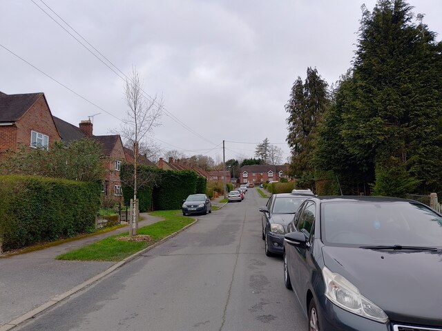
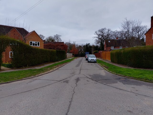
Tittenhurst is a small rural village located in Berkshire, England. Situated approximately three miles southeast of the town of Maidenhead, it is nestled in the picturesque countryside of the Thames Valley. The village is characterized by its tranquil atmosphere and stunning natural beauty, making it an idyllic destination for those seeking a peaceful retreat.

Tittenhurst is renowned for its historical significance. The village is home to Tittenhurst Park, a grand mansion that was once owned by John Lennon, the famous musician and member of The Beatles. Lennon resided in Tittenhurst Park from 1969 to 1971 and recorded some of his most iconic songs during his time there.

The estate itself is set amidst sprawling grounds, featuring meticulously manicured gardens and a serene lake. The mansion has since changed hands and undergone renovations, but it remains an iconic landmark in the village and a testament to its rich history.

The village of Tittenhurst offers a range of amenities for residents and visitors alike. There are a few local shops and a village pub, providing essential services and a place to socialize. The surrounding countryside provides ample opportunities for outdoor activities such as hiking, cycling, and horseback riding.

Overall, Tittenhurst is a charming village with a unique blend of history, natural beauty, and a welcoming community. Its peaceful ambiance and proximity to the bustling town of Maidenhead make it an attractive destination for those seeking a balance between rural tranquility and convenient access to amenities.

If you have any feedback on the listing, please let us know in the comments section below.
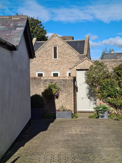
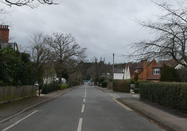
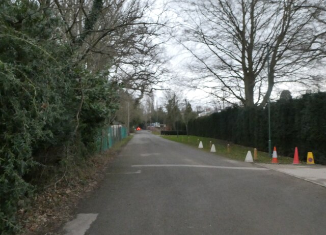
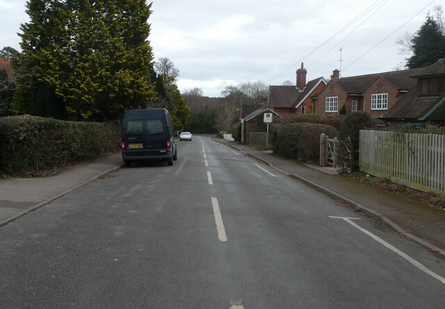
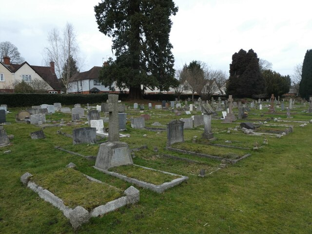
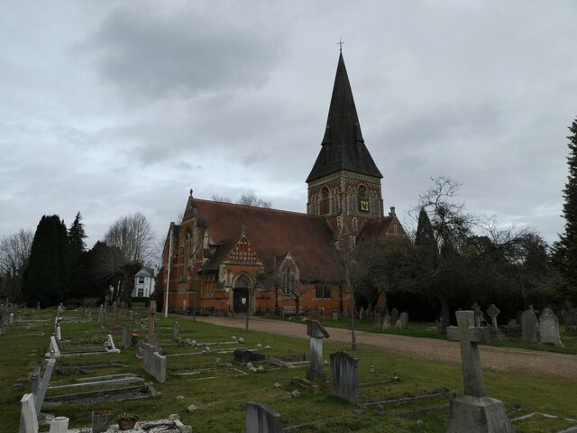
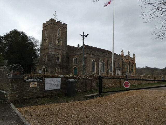
Tittenhurst Images

Images are sourced within 2km of 51.403084/-0.63567 or Grid Reference SU9568. Thanks to Geograph Open Source API. All images are credited.

The Forge 86a Upper Village Road Sunninghill The house was built 25 years ago following demolition of the original factory (The Forge). The climber on the right is Solanum jasminoides 'Album', still flowering profusely in October.
The Forge 86a Upper Village Road Sunninghill
The house was built 25 years ago following demolition of the original factory (The Forge). The climber on the right is Solanum jasminoides 'Album', still flowering profusely in October.
Looking west-southwest along Church Road
Looking south-southwest along Church Lane
Looking east-northeast along Church Road
Holy Trinity, Sunningdale: churchyard
Holy Trinity, Sunningdale: early February 2022
St Michael & All Angels, Sunninghill: early February 2022
site of the former Sunninghill Gasometer After lying derelict for many years, the gasometer was eventually demolished, then the site lay as waste ground for a decade, during which period it developed a very diverse flora.  All that is gone now, as the long-delayed housing development is underway.
site of the former Sunninghill Gasometer
After lying derelict for many years, the gasometer was eventually demolished, then the site lay as waste ground for a decade, during which period it developed a very diverse flora. All that is gone now, as the long-delayed housing development is underway.
Stag-headed Quercus robur in Church Field Silwood Park As the tree ages,  there comes a point when the canopy starts to contract each year  leaving the resilient but now dead limbs behind.
Stag-headed Quercus robur in Church Field Silwood Park
As the tree ages, there comes a point when the canopy starts to contract each year leaving the resilient but now dead limbs behind.
Greenways Drive junction The junction at the end of Greenways Drive (a cul-de-sac) leading to Devenish Road (the A330).
Greenways Drive junction
The junction at the end of Greenways Drive (a cul-de-sac) leading to Devenish Road (the A330).
Greenways Drive A cul-de-sac off Devenish Road (the A330).
Greenways Drive
A cul-de-sac off Devenish Road (the A330).
Fireball Hill A road off Devenish Road (the A330).
Fireball Hill
A road off Devenish Road (the A330).
Park Crescent A road that goes in a loop, serving cul-de-sacs on a housing estate, off Rise Road.
Park Crescent
A road that goes in a loop, serving cul-de-sacs on a housing estate, off Rise Road.
Park Crescent A road that goes in a loop, serving cul-de-sacs on a housing estate, off Rise Road.
Park Crescent
A road that goes in a loop, serving cul-de-sacs on a housing estate, off Rise Road.
Park Crescent A road that goes in a loop, serving cul-de-sacs on a housing estate, off Rise Road.
Park Crescent
A road that goes in a loop, serving cul-de-sacs on a housing estate, off Rise Road.
Heather Drive signs Lots of signs at the entrance to Heather Drive, a private road (cul-de-sac) off Onslow Road.

The top sign denotes the route is a public footpath, though is very faded. The next sign gives the speed limit as 20mph. The next is a road sign of the name "HEATHER DRIVE". Underneath is a sign showing that the road is a dead end and a private road: "PRIVATE ROAD RESIDENT PARKING ONLY". The bottom sign says "CCTV IN USE" with an image of a camera - I wonder if the CCTV is GDPR compliant!
Heather Drive signs
Lots of signs at the entrance to Heather Drive, a private road (cul-de-sac) off Onslow Road. The top sign denotes the route is a public footpath, though is very faded. The next sign gives the speed limit as 20mph. The next is a road sign of the name "HEATHER DRIVE". Underneath is a sign showing that the road is a dead end and a private road: "PRIVATE ROAD RESIDENT PARKING ONLY". The bottom sign says "CCTV IN USE" with an image of a camera - I wonder if the CCTV is GDPR compliant!
Entrance to Heather Drive A white gate is at the entrance (and exit - though that is to the right) to Heather Drive. The road is the route of a public footpath. The houses have names rather than numbers, are very large and generally in an Ascot style.
Entrance to Heather Drive
A white gate is at the entrance (and exit - though that is to the right) to Heather Drive. The road is the route of a public footpath. The houses have names rather than numbers, are very large and generally in an Ascot style.
Heather Drive A cul-de-sac off Onslow Road. The road is the route of a public footpath. The houses have names rather than numbers, are very large and generally in an Ascot style.
Heather Drive
A cul-de-sac off Onslow Road. The road is the route of a public footpath. The houses have names rather than numbers, are very large and generally in an Ascot style.
Show me another place!

Tittenhurst is located at Grid Ref: SU9568 (Lat: 51.403084, Lng: -0.63567)

Unitary Authority: Windsor and Maidenhead

Police Authority: Thames Valley

What 3 Words

///camp.thus.hedge. Near Sunningdale, Berkshire

Related Wikis

Sunningdale Park

Sunningdale Park is a country estate centred around a property known as Northcote House in Sunningdale, Berkshire. == History == The house is thought to...

National School of Government

The National School of Government (previously known as the Civil Service College and the Centre for Management and Policy Studies, or CMPS) was the part...
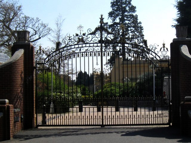
Tittenhurst Park

Tittenhurst Park is a Grade II listed early Georgian country house set in 72 acres (29 hectares) off London Road at Beggar's Bush near Ascot and over...

Silwood Park

Silwood Park is the rural campus of Imperial College London, England. It is situated near the village of Sunninghill, near Ascot in Berkshire. Since 1986...

Related Videos

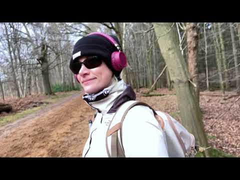
Photos: Virginia Water Cascades and Windsor Castle | Day Hike Saturday | 🇬🇧 Hiking UK | England

Virginia Water, Windsor Great Park, the Long Walk, and Windsor Castle Distance: 17.08 km (10.9 miles) Grading: Easy Rating: 2 ...

Hiking Adventure! Windsor Great Park | Maya Miles

So, on Monday 18th Jan 2021 my new hiking boots arrived so I planned a route around Windsor Great Park to try them out.

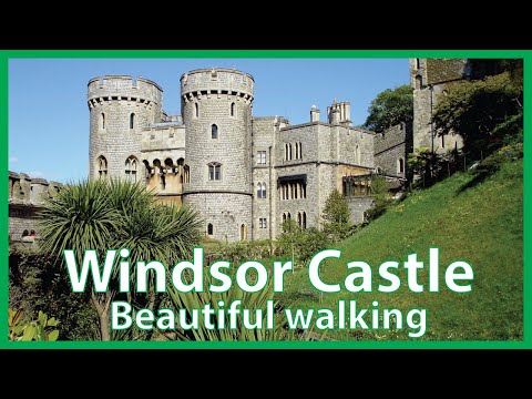
Virginia Water, 🇬🇧 Windsor Great Park, the Long Walk, and Windsor Castle | 🇬🇧 Hiking UK | England

Sunningdale to Windsor walk 17.0km (10.6 miles), if ending the walk at Windsor Riverside railway station: 16.6 km (10.3 miles) if ...

Adorable Walking Trails Near London (Windsor Castle) | Hiking UK | England

Slough to Egham via Windsor Great Park walk An introductory walk passing Windsor Castle with lots of history, deer, pheasants, ...

Nearby Amenities

Located within 500m of 51.403084,-0.63567
High Street
Naptan AtcoCode: 036006001304
Naptan Bearing: NW
Naptan BusStopType: CUS
Naptan CommonName: High Street
Naptan Indicator: NW-bound
Naptan Landmark: Cowarth Road
Naptan NaptanCode: winadjd
Naptan Street: High Street
Naptan Verified: no
Source: naptan_import
Lat/Long: 51.4001633/-0.6324037
Cannon Corner
Naptan AtcoCode: 036006002306
Naptan Bearing: SW
Naptan BusStopType: CUS
Naptan CommonName: Cannon Corner
Naptan Indicator: S-bound
Naptan Landmark: London Road
Naptan NaptanCode: winagam
Naptan Street: Buckhurst Road
Naptan Verified: no
Source: naptan_import
Lat/Long: 51.4071012/-0.6374447
Bus Stop
Sandy Lane
Naptan AtcoCode: 036006004303
Naptan Bearing: S
Naptan CommonName: Sandy Lane
Naptan Indicator: o/s Burnham House
Naptan Landmark: Sandy Lane
Naptan NaptanCode: winatgw
Naptan Street: Station Road
Naptan Verified: no
Public Transport: platform
Source: naptan_import
Lat/Long: 51.4006527/-0.6342724
Bus Stop
High Street
Alt Name: Nags Head
Naptan AltCommonName: Nags Head
Naptan AltStreet: Not Specified
Naptan AtcoCode: 036006626626
Naptan Bearing: SE
Naptan CommonName: High Street
Naptan Indicator: SE-bound
Naptan Landmark: Cowarth Road
Naptan NaptanCode: windtgt
Naptan Street: High Street
Naptan Verified: no
Public Transport: platform
Source: naptan_import
Lat/Long: 51.4001956/-0.6320864
Bus Stop
Cannon Corner
Naptan AtcoCode: 036006638638
Naptan Bearing: NE
Naptan CommonName: Cannon Corner
Naptan Indicator: N-bound
Naptan Landmark: London Road
Naptan NaptanCode: windtmd
Naptan Street: Buckhurst Road
Naptan Verified: no
Public Transport: platform
Source: naptan_import
Lat/Long: 51.4071748/-0.6375863
Northcote House
Alt Name: Civil Service College
Naptan AltCommonName: Civil Service College
Naptan AltStreet: Not Specified
Naptan AtcoCode: 036006871871
Naptan Bearing: SE
Naptan BusStopType: CUS
Naptan CommonName: Northcote House
Naptan Indicator: opp
Naptan Landmark: Larch Avenue
Naptan NaptanCode: winajap
Naptan Street: Silwood Road
Naptan Verified: no
Source: naptan_import
Lat/Long: 51.4040476/-0.6385419
Bus Stop
Northcote House
Alt Name: Civil Service College;Civil Service College;Sunningdale Park
Naptan AltCommonName: Civil Service College;Sunningdale Park
Naptan AltStreet: Not Specified;Not Specified
Naptan AtcoCode: 036006871872
Naptan Bearing: NW
Naptan CommonName: Northcote House
Naptan Indicator: o/s
Naptan Landmark: Larch Avenue
Naptan NaptanCode: wingagt
Naptan Street: Silwood Road
Naptan Verified: no
Public Transport: platform
Source: naptan_import
Lat/Long: 51.4039488/-0.6385592
Post Box
Upper Nursery
Collection Times: Mo-Fr 17:00; Sa 11:30
Ref: SL5 33
Lat/Long: 51.4005281/-0.6315111
Post Office
Silwood Road Post Office
Addr Postcode: SL5 0PY
Branch: Silwood Road
Brand: Post Office
Brand Wikidata: Q1783168
Check Date: 2020-02-20
Contact Website: https://www.postoffice.co.uk/branch-finder/1479466/silwood-road
Ref Pol Id: 2766
Lat/Long: 51.4056703/-0.6387378
Parking
Willow
Access: private
Lat/Long: 51.4027656/-0.6414721
Beggar's Bush
Place: village
Lat/Long: 51.4063554/-0.638369
Shop: convenience
Lat/Long: 51.4056628/-0.6388057
Cary Stables
Landuse: farm
Note Retag: CS #48756035
Source: seen on journey
Lat/Long: 51.4043142/-0.6412087
Pub
The Royal Oak
Addr City: Sunningdale
Addr Housenumber: 19
Addr Postcode: SL5 0QL
Addr Street: Station Road
Phone: +44 1344 623625
Website: http://www.theroyaloaksunningdale.co.uk/
Lat/Long: 51.3994716/-0.6342111
Crossing
Crossing Island: yes
Kerb: lowered
Sloped Curb: yes
Source: Bing;survey
Lat/Long: 51.4065496/-0.6382352
Crossing
Crossing Island: yes
Kerb: lowered
Sloped Curb: yes
Source: Bing;survey
Lat/Long: 51.4065008/-0.6382309
Give Way
Source: Bing
Lat/Long: 51.4047581/-0.6393377
Give Way
Source: Bing
Lat/Long: 51.4014427/-0.6341034
Direction: 180
Generator Method: photovoltaic
Generator Output Electricity: yes
Generator Solar Modules: 16
Generator Source: solar
Generator Type: solar_photovoltaic_panel
Location: roof
Power: generator
Lat/Long: 51.4017301/-0.6314741
Direction: 140
Generator Method: photovoltaic
Generator Output Electricity: yes
Generator Solar Modules: 6
Generator Source: solar
Generator Type: solar_photovoltaic_panel
Location: roof
Power: generator
Lat/Long: 51.4016345/-0.6320744
Direction: 230
Fixme: survey: nature of the two extra square panels? Thermal?
Generator Method: photovoltaic
Generator Output Electricity: yes
Generator Solar Modules: 6
Generator Source: solar
Generator Type: solar_photovoltaic_panel
Location: roof
Power: generator
Lat/Long: 51.4016247/-0.632168
Direction: 190
Generator Method: photovoltaic
Generator Output Electricity: yes
Generator Solar Modules: 16
Generator Source: solar
Generator Type: solar_photovoltaic_panel
Location: roof
Power: generator
Lat/Long: 51.4014339/-0.6311769
Fixme: survey: solar panels?
Lat/Long: 51.4005656/-0.6332993
Direction: 130
Generator Method: photovoltaic
Generator Output Electricity: yes
Generator Solar Modules: 12
Generator Source: solar
Generator Type: solar_photovoltaic_panel
Location: roof
Power: generator
Lat/Long: 51.3999233/-0.6321551
The data included in this document is from www.openstreetmap.org. The data is made available under ODbL.

Have you been to Tittenhurst?

Leave your review of Tittenhurst below (or comments, questions and feedback).