Blacknest

Settlement in Berkshire

England

Blacknest

Looking west-southwest along Church Road
Looking west-southwest along Church Road Credit: Basher Eyre

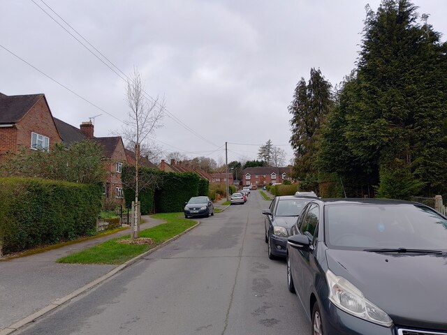
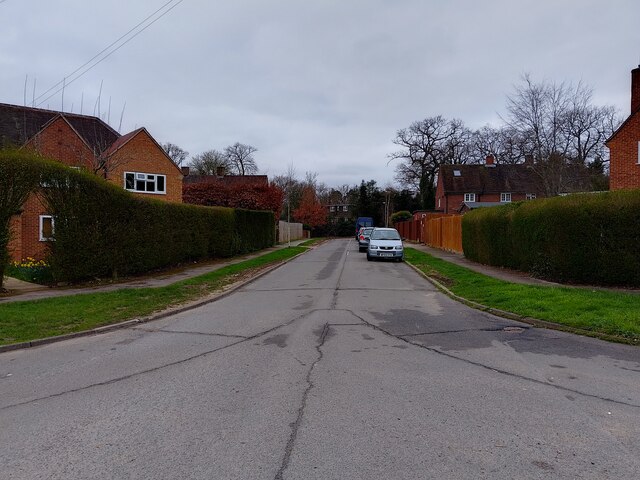
Blacknest is a small village located in Berkshire, England. Situated in the southeastern part of the county, it falls within the district of Hart. The village is nestled within the picturesque countryside, characterized by rolling hills and lush green fields.

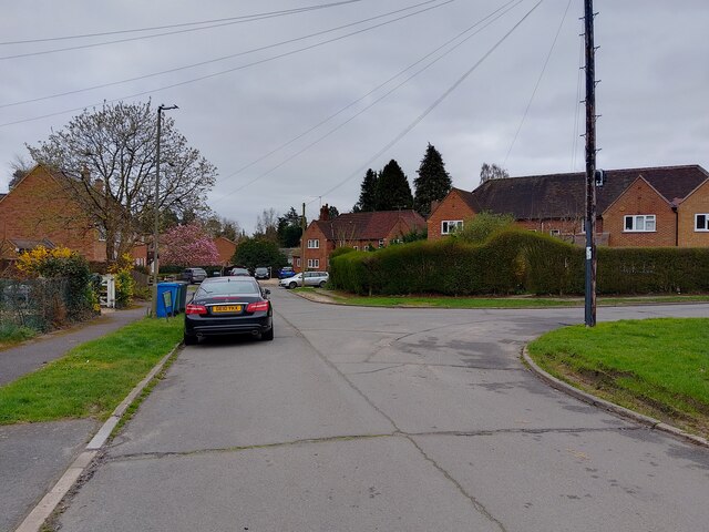
Blacknest is a rural settlement, comprising mostly residential properties with a few small businesses. The village exudes a tranquil and peaceful atmosphere, making it an ideal place for those seeking a quiet and idyllic living environment.

Despite its small size, Blacknest boasts a strong sense of community. Residents often come together to organize local events and festivities, fostering a close-knit and friendly atmosphere. The village also benefits from a range of amenities, including a village hall, a primary school, and a local pub, which serves as a social hub for both residents and visitors.

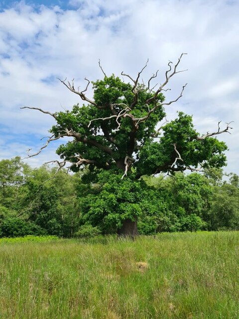
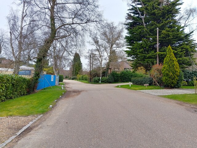
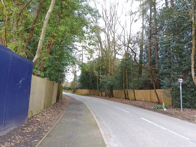
Nature enthusiasts are drawn to Blacknest due to its proximity to several areas of natural beauty. The village is surrounded by vast expanses of woodland, making it a haven for walkers, hikers, and outdoor enthusiasts. Additionally, the village is located close to the popular Wellington Country Park, which offers a multitude of recreational activities for all ages.

Blacknest enjoys good transport links, with easy access to major road networks such as the M3 and M4, providing convenient connections to nearby towns and cities. The closest railway station is located in the neighboring village of Hook, offering regular services to London and other destinations.

Overall, Blacknest is a charming and picturesque village, perfect for those seeking a peaceful countryside retreat while still having access to essential amenities and transport links.

If you have any feedback on the listing, please let us know in the comments section below.
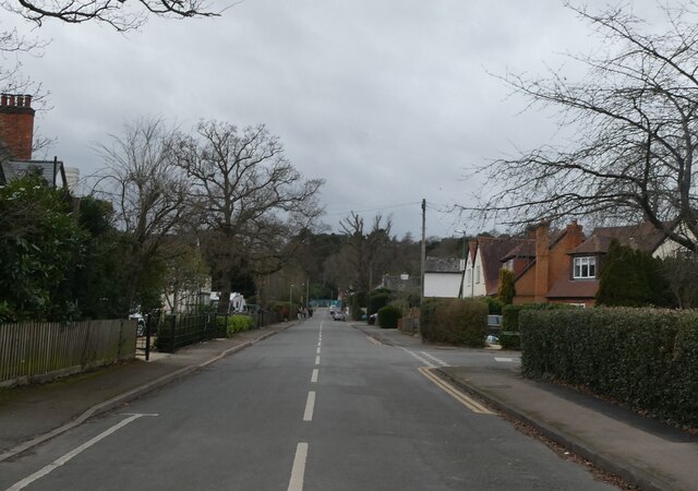
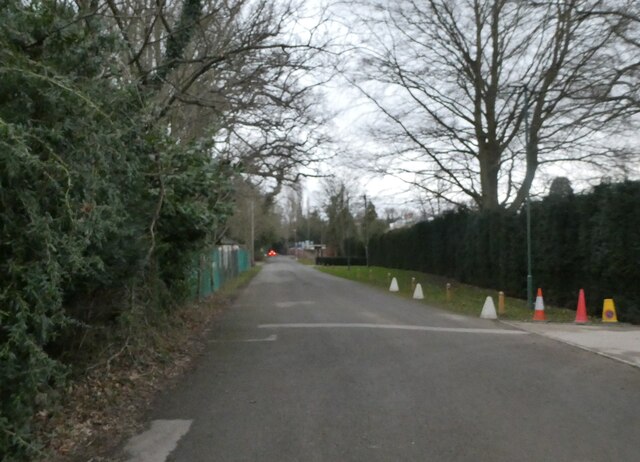
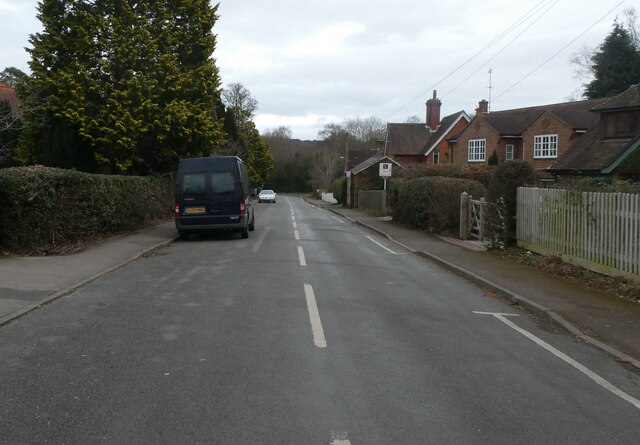
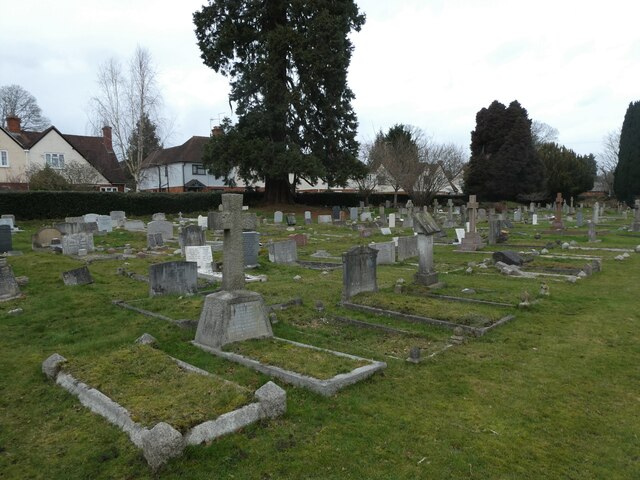
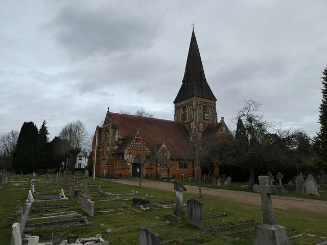
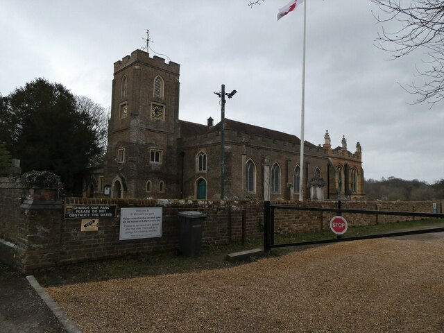
Blacknest Images

Images are sourced within 2km of 51.408363/-0.622705 or Grid Reference SU9568. Thanks to Geograph Open Source API. All images are credited.

Looking west-southwest along Church Road
Looking south-southwest along Church Lane
Looking east-northeast along Church Road
Holy Trinity, Sunningdale: churchyard
Holy Trinity, Sunningdale: early February 2022
St Michael & All Angels, Sunninghill: early February 2022
Stag-headed Quercus robur in Church Field Silwood Park As the tree ages,  there comes a point when the canopy starts to contract each year  leaving the resilient but now dead limbs behind.
Stag-headed Quercus robur in Church Field Silwood Park
As the tree ages, there comes a point when the canopy starts to contract each year leaving the resilient but now dead limbs behind.
Park Crescent A road that goes in a loop, serving cul-de-sacs on a housing estate, off Rise Road.
Park Crescent
A road that goes in a loop, serving cul-de-sacs on a housing estate, off Rise Road.
Park Crescent A road that goes in a loop, serving cul-de-sacs on a housing estate, off Rise Road.
Park Crescent
A road that goes in a loop, serving cul-de-sacs on a housing estate, off Rise Road.
Park Crescent A road that goes in a loop, serving cul-de-sacs on a housing estate, off Rise Road.
Park Crescent
A road that goes in a loop, serving cul-de-sacs on a housing estate, off Rise Road.
Heather Drive signs Lots of signs at the entrance to Heather Drive, a private road (cul-de-sac) off Onslow Road.

The top sign denotes the route is a public footpath, though is very faded. The next sign gives the speed limit as 20mph. The next is a road sign of the name "HEATHER DRIVE". Underneath is a sign showing that the road is a dead end and a private road: "PRIVATE ROAD RESIDENT PARKING ONLY". The bottom sign says "CCTV IN USE" with an image of a camera - I wonder if the CCTV is GDPR compliant!
Heather Drive signs
Lots of signs at the entrance to Heather Drive, a private road (cul-de-sac) off Onslow Road. The top sign denotes the route is a public footpath, though is very faded. The next sign gives the speed limit as 20mph. The next is a road sign of the name "HEATHER DRIVE". Underneath is a sign showing that the road is a dead end and a private road: "PRIVATE ROAD RESIDENT PARKING ONLY". The bottom sign says "CCTV IN USE" with an image of a camera - I wonder if the CCTV is GDPR compliant!
Entrance to Heather Drive A white gate is at the entrance (and exit - though that is to the right) to Heather Drive. The road is the route of a public footpath. The houses have names rather than numbers, are very large and generally in an Ascot style.
Entrance to Heather Drive
A white gate is at the entrance (and exit - though that is to the right) to Heather Drive. The road is the route of a public footpath. The houses have names rather than numbers, are very large and generally in an Ascot style.
Heather Drive A cul-de-sac off Onslow Road. The road is the route of a public footpath. The houses have names rather than numbers, are very large and generally in an Ascot style.
Heather Drive
A cul-de-sac off Onslow Road. The road is the route of a public footpath. The houses have names rather than numbers, are very large and generally in an Ascot style.
Heather Drive gates The gates at the entrance and exit of Heather Drive, a cul-de-sac off Onslow Road. The road is the route of a public footpath. The houses have names rather than numbers, are very large and generally in an Ascot style.
Heather Drive gates
The gates at the entrance and exit of Heather Drive, a cul-de-sac off Onslow Road. The road is the route of a public footpath. The houses have names rather than numbers, are very large and generally in an Ascot style.
Heather Drive A cul-de-sac off Onslow Road. The road is the route of a public footpath. The houses have names rather than numbers, are very large and generally in an Ascot style.
Heather Drive
A cul-de-sac off Onslow Road. The road is the route of a public footpath. The houses have names rather than numbers, are very large and generally in an Ascot style.
Public footpath off Heather Drive A public footpath with a gate for vehicular access at the end of Heather Drive, a cul-de-sac off Onslow Road.

Despite the small sign on the gate saying it is private and that there is no public right of way, there is a public right of way here with a public footpath leading into the woods to West Drive. I do hope walkers will not be deterred by whoever owns the land.
Public footpath off Heather Drive
A public footpath with a gate for vehicular access at the end of Heather Drive, a cul-de-sac off Onslow Road. Despite the small sign on the gate saying it is private and that there is no public right of way, there is a public right of way here with a public footpath leading into the woods to West Drive. I do hope walkers will not be deterred by whoever owns the land.
Larch Avenue A road between Silwood Road (the B383) and Rise Road.
Larch Avenue
A road between Silwood Road (the B383) and Rise Road.
Show me another place!

Blacknest is located at Grid Ref: SU9568 (Lat: 51.408363, Lng: -0.622705)

Unitary Authority: Windsor and Maidenhead

Police Authority: Thames Valley

What 3 Words

///front.wash.plates. Near Sunningdale, Berkshire

Related Wikis

Coworth Park Hotel

Coworth House, currently known as Coworth Park Hotel, is a late 18th-century country house situated at Sunningdale, near Ascot, in the English county of...

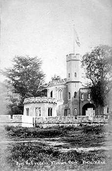
Fort Belvedere, Surrey

Fort Belvedere (originally Shrubs Hill Tower) is a Grade II* listed country house on Shrubs Hill in Windsor Great Park, in Surrey, England. The fort was...

Tittenhurst Park

Tittenhurst Park is a Grade II listed early Georgian country house set in 72 acres (29 hectares) off London Road at Beggar's Bush near Ascot and over...

Sunningdale

Sunningdale is a large village with a retail area and a civil parish in the Royal Borough of Windsor and Maidenhead. It takes up the extreme south-east...

Silwood Park

Silwood Park is the rural campus of Imperial College London, England. It is situated near the village of Sunninghill, near Ascot in Berkshire. Since 1986...

IPARC

The International Pesticide Application Research Consortium (IPARC), previously the International Pesticide Application Research Centre and before that...

Sunningdale Park

Sunningdale Park is a country estate centred around a property known as Northcote House in Sunningdale, Berkshire. == History == The house is thought to...

National School of Government

The National School of Government (previously known as the Civil Service College and the Centre for Management and Policy Studies, or CMPS) was the part...

Related Videos

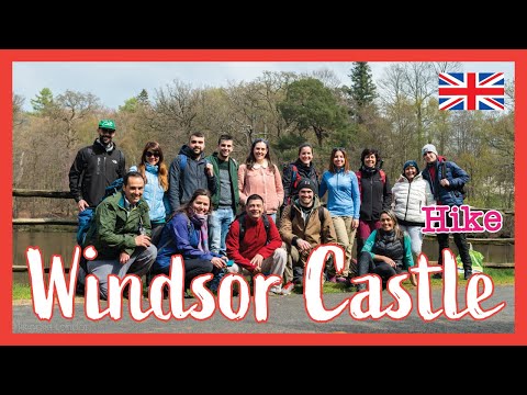
Photos: Virginia Water Cascades and Windsor Castle | Day Hike Saturday | 🇬🇧 Hiking UK | England

Virginia Water, Windsor Great Park, the Long Walk, and Windsor Castle Distance: 17.08 km (10.9 miles) Grading: Easy Rating: 2 ...

Hiking Adventure! Windsor Great Park | Maya Miles

So, on Monday 18th Jan 2021 my new hiking boots arrived so I planned a route around Windsor Great Park to try them out.

Virginia Water, 🇬🇧 Windsor Great Park, the Long Walk, and Windsor Castle | 🇬🇧 Hiking UK | England

Sunningdale to Windsor walk 17.0km (10.6 miles), if ending the walk at Windsor Riverside railway station: 16.6 km (10.3 miles) if ...

Adorable Walking Trails Near London (Windsor Castle) | Hiking UK | England

Slough to Egham via Windsor Great Park walk An introductory walk passing Windsor Castle with lots of history, deer, pheasants, ...

Nearby Amenities

Located within 500m of 51.408363,-0.622705
Board Type: board
Information: board
Tourism: information
Lat/Long: 51.4110537/-0.6187491
Blacknest
Place: village
Lat/Long: 51.4089897/-0.6244023
Blacknest House
Place: isolated_dwelling
Lat/Long: 51.4106477/-0.6284237
Blacknest Lodge
Addr Housename: Blacknest Lodge
Building: residential
Lat/Long: 51.4099716/-0.6245804
Mount Pleasant
Place: locality
Lat/Long: 51.407061/-0.6227694
Barrier: lift_gate
Lat/Long: 51.4087134/-0.6198753
Pub
The Belvedere Arms
Lat/Long: 51.4093107/-0.6243954
Building: hut
Source: Bing
Lat/Long: 51.4103615/-0.624086
Barrier: bollard
Lat/Long: 51.4103151/-0.6240711
Fast Food
Cafe in the Park
Note: van
Lat/Long: 51.4100972/-0.6228122
Bench
Lat/Long: 51.4101628/-0.6227338
Restaurant
Aya Court
Lat/Long: 51.4091339/-0.6248458
Aeroway: helipad
Description: Not explicitly marked.
Surface: grass
Lat/Long: 51.4069943/-0.6186541
Colour: red and white
Marker: aerial
Material: plastic
Utility: gas
Lat/Long: 51.4072015/-0.6291604
Colour: yellow
Marker: post
Material: concrete
Utility: gas
Lat/Long: 51.4070657/-0.6291641
Colour: yellow
Marker: post
Material: concrete
Utility: gas
Lat/Long: 51.4049611/-0.6272107
Colour: red
Marker: post
Material: concrete
Utility: gas
Lat/Long: 51.4050003/-0.6273127
The data included in this document is from www.openstreetmap.org. The data is made available under ODbL.

Have you been to Blacknest?

Leave your review of Blacknest below (or comments, questions and feedback).