Tindale Crescent

Settlement in Durham

England

Tindale Crescent

Tittybottle Park, Bishop Auckland The delightfully named 'Tittybottle Park' which was restored in 2011. The origin of the name - a nickname really - is reportedly that nursemaids would gather there in earlier times when this was an affluent part of the town to chat and feed their babies. The view is from the entrance gate.
It seems that there are other parks known by the same name, either officially or colloquially - here's one from Otley - <a title="https://www.geograph.org.uk/photo/1937873" href="https://www.geograph.org.uk/photo/1937873">Link</a> .
Tittybottle Park, Bishop Auckland Credit: Trevor Littlewood

Tindale Crescent is a retail park located in Durham, England. Situated just off the A167 road, it is conveniently accessible by both car and public transport. The retail park is home to a variety of popular stores, offering a wide range of products and services to cater to the needs of local residents and visitors.

One of the main attractions of Tindale Crescent is the large ASDA supermarket, known for its extensive selection of groceries, household items, clothing, and electronics. The supermarket also offers a pharmacy and a petrol station, making it a convenient one-stop shopping destination.

In addition to ASDA, Tindale Crescent boasts a number of other well-known retailers, including Next, Matalan, Poundland, and Pets at Home. These stores provide a diverse shopping experience, with options for fashion, homeware, discount goods, and pet supplies. There is also a McDonald's restaurant on-site, providing a quick and satisfying dining option for shoppers.

The retail park offers ample parking facilities, ensuring ease of access for those arriving by car. Moreover, regular bus services connect Tindale Crescent to Durham city center and surrounding areas, making it easily accessible for those relying on public transportation.

Tindale Crescent serves as a popular shopping destination for both locals and visitors, providing a convenient and varied retail experience. With its range of stores, ample parking, and accessibility, it continues to attract a steady stream of shoppers seeking quality products and value for money.

If you have any feedback on the listing, please let us know in the comments section below.

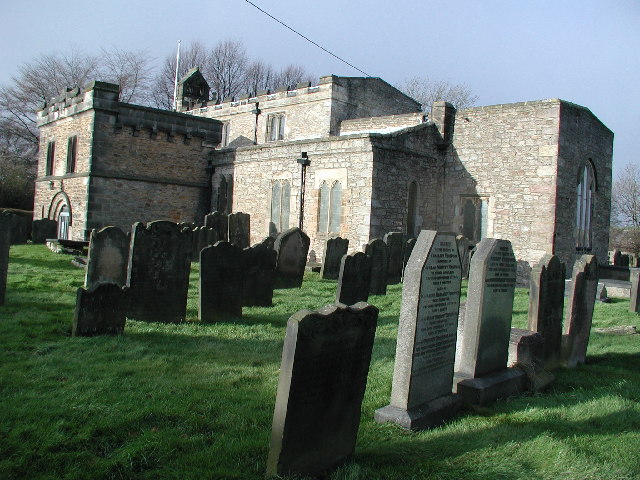
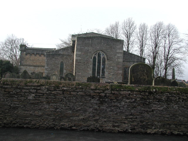
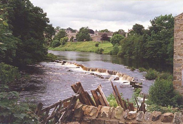
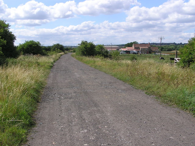
Tindale Crescent Images

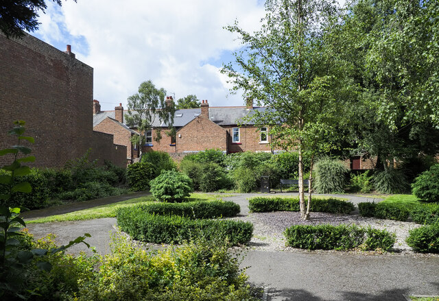
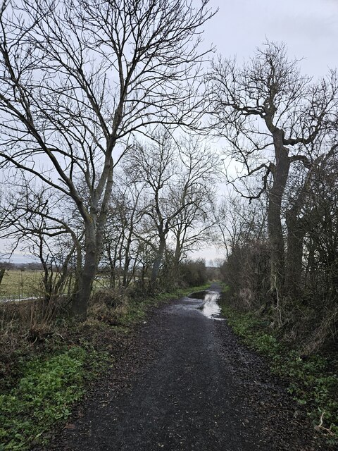
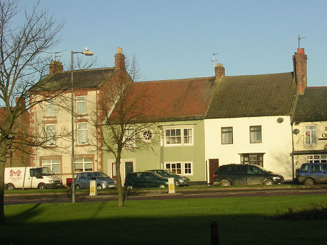
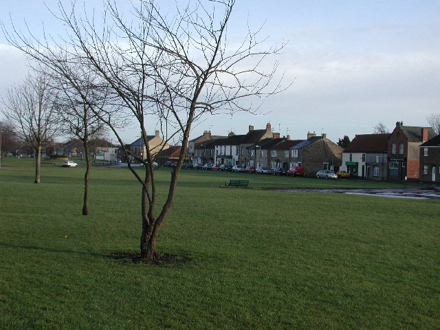
Images are sourced within 2km of 54.64171/-1.696268 or Grid Reference NZ1927. Thanks to Geograph Open Source API. All images are credited.

Tittybottle Park, Bishop Auckland The delightfully named 'Tittybottle Park' which was restored in 2011. The origin of the name - a nickname really - is reportedly that nursemaids would gather there in earlier times when this was an affluent part of the town to chat and feed their babies. The view is from the entrance gate.
It seems that there are other parks known by the same name, either officially or colloquially - here's one from Otley - <a title="https://www.geograph.org.uk/photo/1937873" href="https://www.geograph.org.uk/photo/1937873">Link</a> .
Tittybottle Park, Bishop Auckland
The delightfully named 'Tittybottle Park' which was restored in 2011. The origin of the name - a nickname really - is reportedly that nursemaids would gather there in earlier times when this was an affluent part of the town to chat and feed their babies. The view is from the entrance gate. It seems that there are other parks known by the same name, either officially or colloquially - here's one from Otley - Link .
Weardale railway, Bishop Auckland A view looking down the Weardale railway towards Bishop Auckland Railway station.
Weardale railway, Bishop Auckland
A view looking down the Weardale railway towards Bishop Auckland Railway station.
Brewer's Fayre Pub and Premier Inn - Bishop Auckland
Pollards Inn Pollards Inn is a pub on the north side of the B6284, Etherley Lane, in Bishop Auckland.
Pollards Inn
Pollards Inn is a pub on the north side of the B6284, Etherley Lane, in Bishop Auckland.
Tindale Crescent Boddy Street
Flooded River Gaunless at Fylands bridge
Flats on Tindale Crescent
Route of the Stockton & Darlington Railway Former trackbed of the S&DR, this section was constructed once Shildon tunnel on the branch to Bishop Auckland had been built, and replaced the rope worked Brussleton Inclines.
Route of the Stockton & Darlington Railway
Former trackbed of the S&DR, this section was constructed once Shildon tunnel on the branch to Bishop Auckland had been built, and replaced the rope worked Brussleton Inclines.
Walking the dogs on Haggs Lane Haggs Lane heading south, soon to start climbing towards Brusselton Wood.
Walking the dogs on Haggs Lane
Haggs Lane heading south, soon to start climbing towards Brusselton Wood.
Burnshouse Lane beyond barrier The barrier would allow pedestrians and riders to cross on to the lane but restrict larger, powered vehicles from moving to the camera side.
Burnshouse Lane continues ahead for a short distance; another dirt road, Haggs Lane, branches right, climbing towards Brusselton Wood.
Burnshouse Lane beyond barrier
The barrier would allow pedestrians and riders to cross on to the lane but restrict larger, powered vehicles from moving to the camera side. Burnshouse Lane continues ahead for a short distance; another dirt road, Haggs Lane, branches right, climbing towards Brusselton Wood.
Burnshouse Lane looking East Burnshouse Lane with its new cycle friendly surface.
Burnshouse Lane looking East
Burnshouse Lane with its new cycle friendly surface.
West Auckland village centre West Auckland is one of the many attractive "green" villages of County Durham. In the case of West Auckland, unfortunately the charm of the village is impaired by the passage of heavy traffic. The main road in the foreground is common to the A68 and A688.
West Auckland village centre
West Auckland is one of the many attractive "green" villages of County Durham. In the case of West Auckland, unfortunately the charm of the village is impaired by the passage of heavy traffic. The main road in the foreground is common to the A68 and A688.
West Auckland village green Looking ESE towards where the A68 enters Chapel Street. The taller building (far right on Front Street), which was once the Co-op butchers-cum-stables, became a Village Centre at the Millennium.
West Auckland village green
Looking ESE towards where the A68 enters Chapel Street. The taller building (far right on Front Street), which was once the Co-op butchers-cum-stables, became a Village Centre at the Millennium.
Church & churchyard of St Helen Auckland Small church dating from the mid-twelfth century
Church & churchyard of St Helen Auckland
Small church dating from the mid-twelfth century
Church of St Helen Auckland
The River Gaunless at West Auckland
Broom Mill and disused railway This is a  former Corn Mill near the River Gaunless. And the trackbed of the old Stockton and Darlington Railway.
Broom Mill and disused railway
This is a former Corn Mill near the River Gaunless. And the trackbed of the old Stockton and Darlington Railway.
Disused Railway : Bankfoot Farm Stockton and Darlington Railway and road to Bankfoot Farm. Off to the left on Burnshouse Lane, the old St.Helens (Auckland) Colliery Branch Line.
Disused Railway : Bankfoot Farm
Stockton and Darlington Railway and road to Bankfoot Farm. Off to the left on Burnshouse Lane, the old St.Helens (Auckland) Colliery Branch Line.
Show me another place!

Tindale Crescent is located at Grid Ref: NZ1927 (Lat: 54.64171, Lng: -1.696268)

Unitary Authority: County Durham

Police Authority: Durham

What 3 Words

///spaces.rice.crisis. Near Bishop Auckland, Co. Durham

Nearby Locations

Tindale Crescent

Related Wikis

Tindale Crescent

Tindale Crescent is a place in County Durham, in England. It is situated immediately to the south-west of Bishop Auckland.

Bishop Auckland F.C.

Bishop Auckland Football Club is a football club based in Bishop Auckland, County Durham, England. They are one of the most successful amateur sides, having...

Woodhouse Close Estate

Woodhouse Close Estate or locally "Woodhouse" is a post-war former council housing estate, located to the south of Bishop Auckland, County Durham, England...

St John's Catholic School

St John's Catholic School & Sixth Form College is a Coeducational Roman Catholic secondary school and sixth form with academy status. It is located on...

Nearby Amenities

Located within 500m of 54.64171,-1.696268
Traffic Signals
Fixme: Would be better moved to 4 ped crossings
Lat/Long: 54.6414718/-1.6913523
Mini Roundabout
Lat/Long: 54.6383028/-1.6989949
Historic: mine
Mineral: coal
Source: NPE
Lat/Long: 54.6392467/-1.7002806
Bus Stop
Club (Watling Road)
Bench: yes
Bus: yes
Departures Board: timetable
Naptan AtcoCode: 13004011C
Naptan Bearing: E
Naptan CommonName: Club (Watling Road)
Naptan Indicator: east bound
Naptan Landmark: Landmark not known
Naptan NaptanCode: durawdat
Naptan Notes: Outside boundary of Auckland Gate Centre and 60 Dere Avenue- A688- Bishop Auckland
Naptan Street: A688 Watling Road
Naptan Verified: no
Passenger Information Display: no
Public Transport: platform
Shelter: yes
Source: naptan_import
Lat/Long: 54.641688/-1.6901946
Bus Stop
Club (Watling Road)
Bus: yes
Departures Board: timetable
Naptan AtcoCode: 13004011G
Naptan Bearing: W
Naptan CommonName: Club (Watling Road)
Naptan Indicator: west bound
Naptan Landmark: Landmark not known
Naptan NaptanCode: durawdaw
Naptan Notes: Opposite Auckland Gate Centre- A688- Bishop Auckland
Naptan Street: A688 Watling Road
Naptan Verified: no
Public Transport: platform
Shelter: yes
Source: naptan_import
Lat/Long: 54.6414916/-1.690692
Bus Stop
Hospital
Naptan AtcoCode: 13004012D
Naptan Bearing: SE
Naptan CommonName: Hospital
Naptan Indicator: south east bound
Naptan Landmark: Landmark not known
Naptan NaptanCode: durawdga
Naptan Notes: Opposite 49 Greenfields Road- near junction with West View (road name)- S of Tindale Crescent
Naptan Street: Greenfields Road
Naptan Verified: no
Source: naptan_import
Lat/Long: 54.6426127/-1.6933332
Bus Stop
Hospital
Naptan AtcoCode: 13004012H
Naptan Bearing: NW
Naptan CommonName: Hospital
Naptan Indicator: north west bound
Naptan Landmark: Landmark not known
Naptan NaptanCode: durawdgd
Naptan Notes: Outside 37 Greenfields Road- S of Tindale Crescent Hospital- Bishop Auckland
Naptan Street: Greenfields Road
Naptan Verified: no
Source: naptan_import
Lat/Long: 54.6423694/-1.6930871
Bus Stop
Club (Brantwood Avenue)
Bench: no
Bus: yes
Naptan AtcoCode: 13004013D
Naptan Bearing: SE
Naptan CommonName: Club (Brantwood Avenue)
Naptan Indicator: south east bound
Naptan Landmark: Landmark not known
Naptan NaptanCode: durawdgj
Naptan Notes: Opposite 1 Tindale Crescent- opposite a club- Bishop Auckland
Naptan Street: Unclassified Road
Naptan Verified: no
Public Transport: platform
Shelter: no
Source: naptan_import
Lat/Long: 54.6412033/-1.6904308
Bus Stop
Club (Brantwood Avenue)
Bus: yes
Naptan AtcoCode: 13004013H
Naptan Bearing: NW
Naptan CommonName: Club (Brantwood Avenue)
Naptan Indicator: north west bound
Naptan Landmark: Landmark not known
Naptan NaptanCode: durawdgm
Naptan Notes: Outside boundary of 7-8 Brantwood Terrace- Bishop Auckland
Naptan Street: Unclassified Road
Naptan Verified: no
Public Transport: platform
Source: naptan_import
Lat/Long: 54.6408425/-1.6898912
Bus Stop
Bench: no
Bus: yes
Covered: no
Naptan AtcoCode: 13004016B
Naptan Bearing: NE
Naptan CommonName: Factories
Naptan Indicator: north east bound
Naptan Landmark: Landmark not known
Naptan NaptanCode: durawdjd
Naptan Notes: W of Abraham Industrial Estate- Tindale Crescent factories- A688 Maude Terrace- Bishop Auckland
Naptan Street: A688
Naptan Verified: no
Public Transport: platform
Shelter: no
Source: naptan_import
Lat/Long: 54.6402892/-1.6949776
Bus Stop
Maude Terrace
Naptan AtcoCode: 13004017B
Naptan Bearing: NE
Naptan CommonName: Maude Terrace
Naptan Indicator: north east bound
Naptan Landmark: Landmark not known
Naptan NaptanCode: durawdjm
Naptan Notes: Outside boundary 22-23 Maude Terrace- near junction with Dale Terrace- A688- Bishop Auckland
Naptan Street: A688
Naptan Verified: no
Shelter: no
Source: naptan_import
Lat/Long: 54.6381101/-1.7004631
Bus Stop
Archer Avenue
Bus: yes
Naptan AtcoCode: 13004217D
Naptan Bearing: SE
Naptan CommonName: Archer Avenue
Naptan Indicator: south east bound
Naptan Landmark: Landmark not known
Naptan NaptanCode: durawjgd
Naptan Notes: Outside boundary of 32 Walker Drive and Woodhouse Close Infants School- Bishop Auckland
Naptan Street: Walker Drive
Naptan Verified: no
Public Transport: platform
Source: naptan_import
Lat/Long: 54.6444739/-1.690158
Bus Stop
Lusby Cres-Gudmunsen Ave
Bus: yes
Naptan AtcoCode: 13004220H
Naptan Bearing: NW
Naptan CommonName: Lusby Cres-Gudmunsen Ave
Naptan Indicator: north west bound
Naptan Landmark: Landmark not known
Naptan NaptanCode: durawjgw
Naptan Notes: Outside boundary of 78-80 Lusby Crescent- near Gudmensen Avenue- Bishop Auckland
Naptan Street: Lusby Crescent
Naptan Verified: no
Public Transport: platform
Source: naptan_import
Lat/Long: 54.6439806/-1.6905336
Bus Stop
Lusby Cres.-Ramsey Cres.
Naptan AtcoCode: 13004221H
Naptan Bearing: NW
Naptan CommonName: Lusby Cres.-Ramsey Cres.
Naptan Indicator: north west bound
Naptan Landmark: Landmark not known
Naptan NaptanCode: durawjma
Naptan Notes: Outside 38 Lusby Crescent- Bishop Auckland
Naptan Street: Lusby Crescent
Naptan Verified: no
Source: naptan_import
Lat/Long: 54.6448231/-1.6931926
Bus Stop
19 Ramsey Crescent
Naptan AtcoCode: 13004222F
Naptan Bearing: SW
Naptan CommonName: 19 Ramsey Crescent
Naptan Indicator: south west bound
Naptan Landmark: Landmark not known
Naptan NaptanCode: durawjmd
Naptan Notes: Outside Boundary of 10-21 Ramsey Crescent- Bishop Auckland
Naptan Street: Ramsey Crescent
Naptan Verified: no
Source: naptan_import
Lat/Long: 54.6445222/-1.6950389
Bus Stop
Richardson Avenue
Naptan AtcoCode: 13004223D
Naptan Bearing: SE
Naptan CommonName: Richardson Avenue
Naptan Indicator: south east bound
Naptan Landmark: Landmark not known
Naptan NaptanCode: durawjmg
Naptan Notes: Ramsey Crescent- Approximately 6 m from Junction with Richardson Avenue- Bishop Auckland
Naptan Street: Ramsey Crescent
Naptan Verified: no
Source: naptan_import
Lat/Long: 54.6439373/-1.6947333
Bus Stop
Harrison Crescent
Naptan AtcoCode: 13004224F
Naptan Bearing: SW
Naptan CommonName: Harrison Crescent
Naptan Indicator: south west bound
Naptan Landmark: Landmark not known
Naptan NaptanCode: durawjmj
Naptan Notes: On Harrison Crescent- very near junction with Greenfields Road- Bishop Auckland
Naptan Street: Harrison Crescent
Naptan Verified: no
Source: naptan_import
Lat/Long: 54.6430904/-1.6938874
Bus Stop
Greenfields Rd (Ind. Est.)
Naptan AtcoCode: 13004225H
Naptan Bearing: NW
Naptan CommonName: Greenfields Rd (Ind. Est.)
Naptan Indicator: north west bound
Naptan Landmark: Landmark not known
Naptan NaptanCode: durawjmp
Naptan Notes: On Greenfields Road- outside Solar Glass (Glass Factory)- opposite end of path to Ramsey Cresce
Naptan Street: Greenfields Road
Naptan Verified: no
Source: naptan_import
Lat/Long: 54.6440393/-1.6959722
Bus Stop
Greenfields Rd-West Lane
Naptan AtcoCode: 13004226D
Naptan Bearing: SE
Naptan CommonName: Greenfields Rd-West Lane
Naptan Indicator: south east bound
Naptan Landmark: Landmark not known
Naptan NaptanCode: durawjmt
Naptan Notes: At the junction of Greenfields Road with West Lane (end of path)- W of 32 Greenfields Road- Bis
Naptan Street: Greenfields Road
Naptan Verified: no
Source: naptan_import
Lat/Long: 54.6446517/-1.6964945
Bus Stop
Weardale Dr-Farndale Sq
Naptan AtcoCode: 13004227F
Naptan Bearing: SW
Naptan CommonName: Weardale Dr-Farndale Sq
Naptan Indicator: south west bound
Naptan Landmark: Landmark not known
Naptan NaptanCode: durawjpa
Naptan Notes: Outside 45 Weardale Drive- Bishop Auckland
Naptan Street: Weardale Drive
Naptan Verified: no
Source: naptan_import
Lat/Long: 54.6460881/-1.6958794
Bus Stop
Greenfields Rd-Weardale Dr.
Naptan AtcoCode: 13004250D
Naptan Bearing: SE
Naptan CommonName: Greenfields Rd-Weardale Dr.
Naptan Indicator: south east bound
Naptan Landmark: Landmark not known
Naptan NaptanCode: durawmgt
Naptan Notes: Outside 58 Greenfields Road- N of junction with Weardale Drive- Bishop Auckland
Naptan Street: Greenfields Road
Naptan Verified: no
Source: naptan_import
Lat/Long: 54.6456791/-1.6976336
Bus Stop
Greenfields Rd-Weardale Dr.
Naptan AtcoCode: 13004250H
Naptan Bearing: NW
Naptan CommonName: Greenfields Rd-Weardale Dr.
Naptan Indicator: north west bound
Naptan Landmark: Landmark not known
Naptan NaptanCode: durawmgw
Naptan Notes: Opposite 50 Greenfields Road- S of junction with Weardale Drive- Bishop Auckland
Naptan Street: Greenfields Road
Naptan Verified: no
Source: naptan_import
Lat/Long: 54.645193/-1.6973118
Addr City: Bishop Auckland
Addr Street: Staindrop Road
Disused Amenity: post_office
Image: https://www.geograph.org.uk/photo/3540310
Note: https://www.thenorthernecho.co.uk/news/12883227.move-post-office-branch/
Source: OS OpenData StreetView
Lat/Long: 54.6414264/-1.6926148
Power: tower
Lat/Long: 54.6391755/-1.6991713
Traffic Signals
Lat/Long: 54.6393802/-1.6965335
Mini Roundabout
Lat/Long: 54.6402686/-1.6937132
Fuel
Tesco
Brand: Tesco
Brand Wikidata: Q487494
Website: https://www.tesco.com/store-locator/bishop-auckland/st.-helen-auckland/petrol-filling-station
Lat/Long: 54.6399405/-1.6964115
Mini Roundabout
Lat/Long: 54.6389305/-1.6907696
Crossing
Crossing: zebra
Crossing Island: yes
Lat/Long: 54.6393491/-1.6926476
Fast Food
Bedale's Chippy
Addr City: Bishop Auckland
Addr Street: Staindrop Road
Cuisine: fish_and_chips
Fixme: Now trading as Tindale Chippy?
Image: https://www.geograph.org.uk/photo/3540310
Lat/Long: 54.6414838/-1.6922167
Pharmacy
Boots
Addr City: Bishop Auckland
Addr Place: Bishop Auckland Shopping Park
Addr Postcode: DL14 9FA
Addr Suburb: St Helen Auckland
Addr Unit: 8
Brand: Boots
Brand Wikidata: Q6123139
Fhrs Id: 628430
Healthcare: pharmacy
Lat/Long: 54.6410274/-1.6953047
Marks & Spencer
Addr City: Bishop Auckland
Addr Place: Bishop Auckland Shopping Park
Addr Postcode: DL14 9FA
Addr Suburb: St Helen Auckland
Addr Unit: 4
Brand: Marks & Spencer
Brand Wikidata: Q714491
Contact Website: https://www.marksandspencer.com/stores/bishop-auckland-simply-food-1178
Fhrs Id: 534637
Fixme: Is this a Simply Food?
Shop: department_store
Lat/Long: 54.6407734/-1.6964141
Central Tyre
Addr City: Bishop Auckland
Addr Postcode: DL14 9TA
Addr Street: Brantwood Terrace
Email: sl150@stapletons-tyre.co.uk
Phone: +44 1388 605315
Shop: car_repair
Website: https://www.hiqonline.co.uk
Lat/Long: 54.6407362/-1.6887129
Howdens Joinery
Addr City: Bishop Auckland
Addr Street: Staindrop Road
Brand: Howdens Joinery
Brand Wikidata: Q5921438
Shop: kitchen
Website: https://www.howdens.com/find-a-depot/bishop-auckland
Lat/Long: 54.6410051/-1.6926123
Home Sweet Home
Addr City: Bishop Auckland
Addr Street: Staindrop Road
Shop: furniture
Lat/Long: 54.6401955/-1.693418
Talk Of The Town
Addr City: Bishop Auckland
Addr Street: Staindrop Road
Fixme: Needs more info
Shop: yes
Lat/Long: 54.6403179/-1.6930114
National Tyres And Autocare
Addr City: Bishop Auckland
Addr Street: Staindrop Road
Brand: National Tyres and Autocare
Brand Wikidata: Q6979055
Shop: car_repair
Short Name: National Tyres
Lat/Long: 54.6404967/-1.6926008
Cafe
Starbucks
Addr City: Bishop Auckland
Addr Postcode: DL14 9TT
Brand: Starbucks
Brand Wikidata: Q37158
Cuisine: coffee_shop
Fhrs Id: 802410
Official Name: Starbucks Coffee
Phone: +44 1388 602497
Takeaway: yes
Website: https://www.starbucks.com/store-locator/store/87134/bishop-auckland-retail-park-abraham-enterprise-park-unit-4-durham-eng-dl-14-9-
Lat/Long: 54.6401042/-1.693871
Tindale News
Addr City: Bishop Auckland
Addr Housenumber: 5
Addr Postcode: DL14 9TE
Addr Street: Greenfields Road
Fhrs Id: 304760
Shop: convenience
Source Addr: FHRS Open Data
Lat/Long: 54.641693/-1.6921362
Post Box
Image: https://www.geograph.org.uk/photo/3540310
Ref: DL14 58
Lat/Long: 54.6413765/-1.6926841
Waste Basket
Lat/Long: 54.6413689/-1.6927215
Barrier: bollard
Lat/Long: 54.6413619/-1.6927499
Barrier: bollard
Lat/Long: 54.6413584/-1.6927743
Barrier: bollard
Lat/Long: 54.6413478/-1.6927967
Next
Addr City: Bishop Auckland
Brand: Next
Brand Wikidata: Q246655
Shop: clothes
Lat/Long: 54.6413299/-1.695114
Travis Perkins
Addr City: Bishop Auckland
Addr Street: Staindrop Road
Brand: Travis Perkins
Brand Wikidata: Q2450664
Shop: doityourself
Website: https://www.travisperkins.co.uk/branch-locator/9066
Lat/Long: 54.6389437/-1.6965969
Power: tower
Lat/Long: 54.6401658/-1.7025179
Atm
Lat/Long: 54.6392736/-1.69483
Waste Basket
Waste: dog_excrement
Lat/Long: 54.6380595/-1.6999391
Crossing
Crossing Island: yes
Lat/Long: 54.638201/-1.699566
Waste Basket
Lat/Long: 54.6387717/-1.6973971
Bus Stop
Superstore
Naptan AtcoCode: 13004016F
Naptan Bearing: SW
Naptan CommonName: Superstore
Naptan Indicator: SW-bound
Naptan Landmark: Landmark not known
Naptan NaptanCode: durawdjg
Naptan Street: A688
Source: naptan_import
Lat/Long: 54.6387585/-1.6974252
Crossing
Crossing: traffic_signals
Direction: forward
Lat/Long: 54.6415741/-1.6915772
Crossing
Crossing: zebra
Lat/Long: 54.6403983/-1.6936748
Crossing
Crossing: zebra
Lat/Long: 54.6407548/-1.6933324
Crossing
Crossing: zebra
Lat/Long: 54.6394493/-1.693816
Crossing
Crossing: zebra
Lat/Long: 54.6390977/-1.6944461
Crossing
Crossing: zebra
Lat/Long: 54.639494/-1.6967089
Crossing
Crossing: zebra
Lat/Long: 54.639254/-1.6967736
Crossing
Crossing: zebra
Lat/Long: 54.6394813/-1.6963488
Crossing
Crossing: zebra
Lat/Long: 54.6405135/-1.6941667
Crossing
Crossing: zebra
Lat/Long: 54.6404977/-1.694603
Crossing
Crossing: zebra
Lat/Long: 54.6402044/-1.6947116
Crossing
Crossing: zebra
Lat/Long: 54.6400957/-1.6942075
Crossing
Crossing: zebra
Lat/Long: 54.6402861/-1.6939082
Crossing
Crossing: zebra
Tactile Paving: yes
Lat/Long: 54.6391511/-1.6925816
Crossing
Crossing: zebra
Lat/Long: 54.6395469/-1.6923243
Crossing
Crossing: zebra
Lat/Long: 54.6393637/-1.6920179
Crossing
Crossing: zebra
Crossing Island: yes
Lat/Long: 54.6391013/-1.6921864
Crossing
Crossing: zebra
Crossing Island: yes
Tactile Paving: yes
Lat/Long: 54.6383165/-1.6916329
Crossing
Crossing: traffic_signals
Direction: backward
Lat/Long: 54.6414373/-1.6916598
Crossing
Crossing: traffic_signals
Direction: forward
Lat/Long: 54.6415307/-1.6909103
Crossing
Crossing: traffic_signals
Direction: backward
Lat/Long: 54.6413689/-1.6910398
Generator Method: photovoltaic
Generator Output Electricity: yes
Generator Source: solar
Generator Type: solar_photovoltaic_panel
Location: roof
Power: generator
Lat/Long: 54.6436616/-1.6913752
Generator Method: photovoltaic
Generator Output Electricity: yes
Generator Source: solar
Generator Type: solar_photovoltaic_panel
Location: roof
Power: generator
Lat/Long: 54.6436787/-1.6914127
Generator Method: photovoltaic
Generator Output Electricity: yes
Generator Source: solar
Generator Type: solar_photovoltaic_panel
Location: roof
Power: generator
Lat/Long: 54.6441396/-1.6945026
Generator Method: photovoltaic
Generator Output Electricity: yes
Generator Source: solar
Generator Type: solar_photovoltaic_panel
Location: roof
Power: generator
Lat/Long: 54.6445416/-1.6944061
Generator Method: photovoltaic
Generator Output Electricity: yes
Generator Source: solar
Generator Type: solar_photovoltaic_panel
Location: roof
Power: generator
Lat/Long: 54.6443538/-1.6951303
Generator Method: photovoltaic
Generator Output Electricity: yes
Generator Source: solar
Generator Type: solar_photovoltaic_panel
Location: roof
Power: generator
Lat/Long: 54.6443895/-1.6934163
Crossing
Crossing: uncontrolled
Crossing Ref: zebra
Lat/Long: 54.6400174/-1.6956429
Crossing
Crossing: uncontrolled
Crossing Ref: zebra
Lat/Long: 54.6404019/-1.6964059
Crossing
Crossing: uncontrolled
Crossing Ref: zebra
Lat/Long: 54.6405605/-1.6968851
Crossing
Crossing: uncontrolled
Crossing Ref: zebra
Lat/Long: 54.6405471/-1.6977157
Crossing
Crossing: uncontrolled
Crossing Ref: zebra
Lat/Long: 54.6397916/-1.6967827
Crossing
Crossing: uncontrolled
Crossing Ref: zebra
Lat/Long: 54.6399631/-1.6967977
Crossing
Crossing: uncontrolled
Crossing Ref: zebra
Lat/Long: 54.6383992/-1.6925475
Bus Stop
Football Ground
Bus: yes
Naptan AtcoCode: 13004781A
Naptan Bearing: N
Naptan BusStopType: MKD
Naptan CommonName: Football Ground
Naptan Indicator: N-bound
Naptan Landmark: near football ground
Naptan NaptanCode: durgawgm
Naptan Street: Stadium Way
Naptan Verified: no
Public Transport: platform
Shelter: yes
Source: naptan_import
Lat/Long: 54.638729/-1.6920809
Bus Stop
Football Ground
Bus: yes
Naptan AtcoCode: 13004781E
Naptan Bearing: S
Naptan BusStopType: MKD
Naptan CommonName: Football Ground
Naptan Indicator: S-bound
Naptan Landmark: near football ground
Naptan NaptanCode: durgawgp
Naptan Street: Stadium Way
Naptan Verified: no
Public Transport: platform
Shelter: yes
Source: naptan_import
Lat/Long: 54.6387307/-1.6917899
Redworth Furniture
Addr City: Bishop Auckland
Addr Postcode: DL14 9TT
Addr Suburb: St Helen Auckland
Mapillary: 831021747514758
Shop: furniture
Website: https://www.redworthfurniturecentre.com/
Lat/Long: 54.6400112/-1.6928387
Screwfix
Brand: Screwfix
Brand Wikidata: Q7439115
Mapillary: 904819946728490
Shop: doityourself
Website: https://www.screwfix.com/stores/PA4/bishop-auckland
Lat/Long: 54.6400702/-1.6926201
Pharmacy
Tesco Pharmacy
Fixme: Confirm location in building
Website: https://www.tesco.com/store-locator/bishop-auckland/st.-helen-auckland/pharmacy
Lat/Long: 54.6410046/-1.6982004
St. Helen's Colliery
Fixme: Confirm location
Historic: mine
Resource: coal
Website: http://www.dmm.org.uk/colliery/s017.htm
Lat/Long: 54.6376346/-1.6960573
Argos
Addr City: Bishop Auckland
Addr Postcode: DL14 9AE
Addr Suburb: St Helen Auckland
Brand: Argos
Brand Wikidata: Q4789707
Fhrs Id: 1030054
Shop: catalogue
Website: https://www.argos.co.uk/stores/4529-bishop-auckland-in-sainsburys
Lat/Long: 54.6386171/-1.6947688
Cafe
Tesco Café
Addr City: Bishop Auckland
Addr Postcode: DL14 9AB
Addr Suburb: St Helen Auckland
Fhrs Id: 1005247
Fixme: Confirm location in building
Operator: Tesco Family Dining Ltd
Outdoor Seating: no
Website: https://www.tesco.com/store-locator/bishop-auckland/st.-helen-auckland/cafe
Lat/Long: 54.6408529/-1.6988555
The data included in this document is from www.openstreetmap.org. The data is made available under ODbL.

Have you been to Tindale Crescent?

Leave your review of Tindale Crescent below (or comments, questions and feedback).