Tindale

Settlement in Cumberland Carlisle

England

Tindale

View towards Tindale Tarn
View towards Tindale Tarn Credit: Les Hull

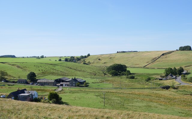
Tindale is a small village located in the county of Cumberland in northwest England. Situated about 6 miles east of the town of Brampton, Tindale is nestled in a rural setting surrounded by picturesque countryside. The village is part of the civil parish of Hayton and Mealo, and falls within the administrative district of Carlisle.

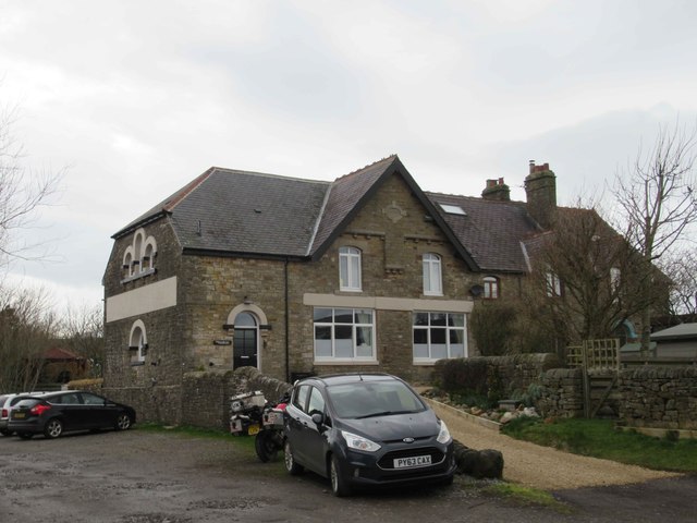
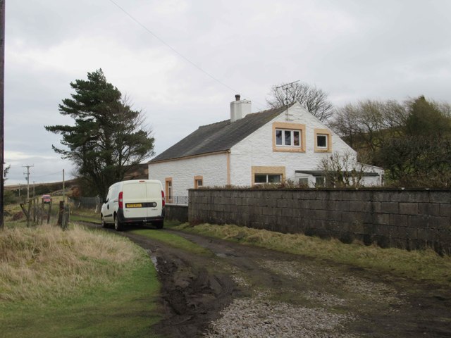
Tindale is a tight-knit community with a population of around 300 residents. The village mainly consists of traditional stone-built houses, giving it a charming and quintessentially English feel. The local economy is primarily based on agriculture and farming, with many residents engaged in these industries.

In terms of amenities, Tindale offers limited facilities within the village itself. However, the nearby town of Brampton provides a wider range of services, including shops, schools, and healthcare facilities.

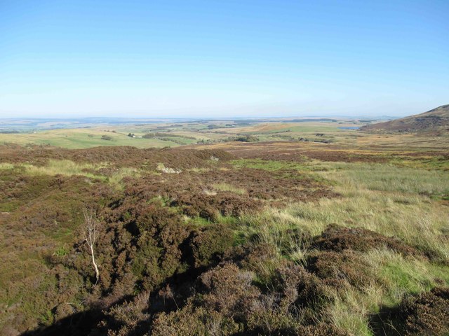
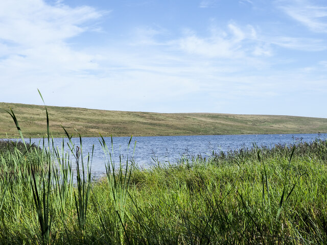
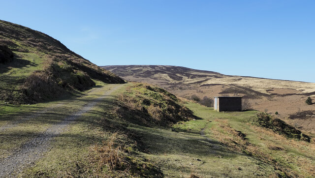
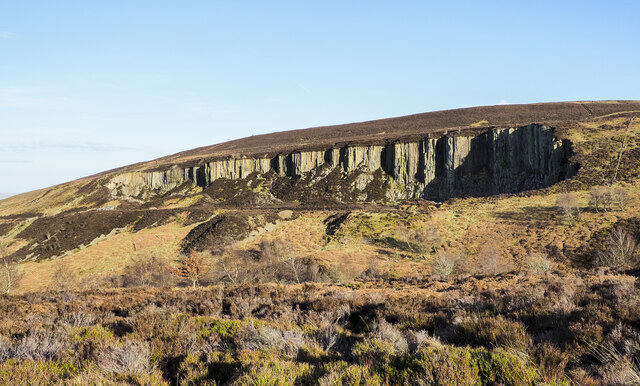
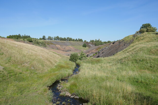
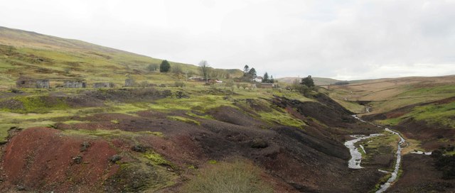
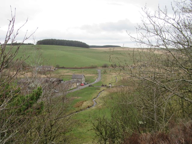
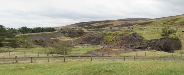
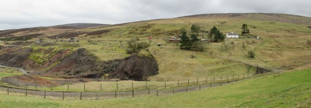
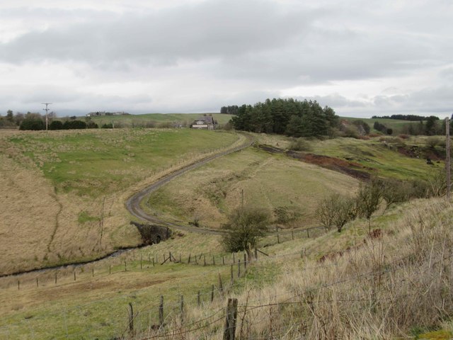
The village is surrounded by beautiful countryside, making it an ideal location for outdoor enthusiasts and nature lovers. The area offers numerous walking and cycling routes, allowing residents and visitors to explore the stunning landscapes and enjoy the tranquility of the rural surroundings.

Tindale is well-connected by road, with the A69 trunk road passing just south of the village. This provides easy access to nearby towns and cities, including Carlisle, Newcastle, and Hexham.

Overall, Tindale is a peaceful and idyllic village that offers a close-knit community, stunning countryside views, and easy access to nearby amenities and transport links.

If you have any feedback on the listing, please let us know in the comments section below.
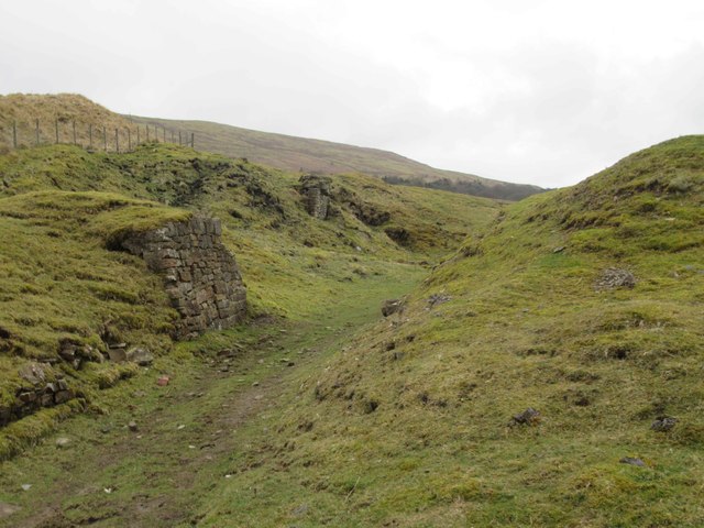
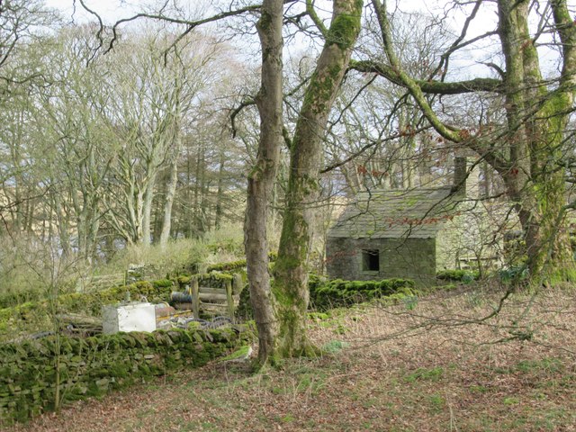
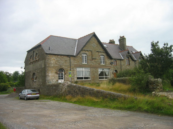
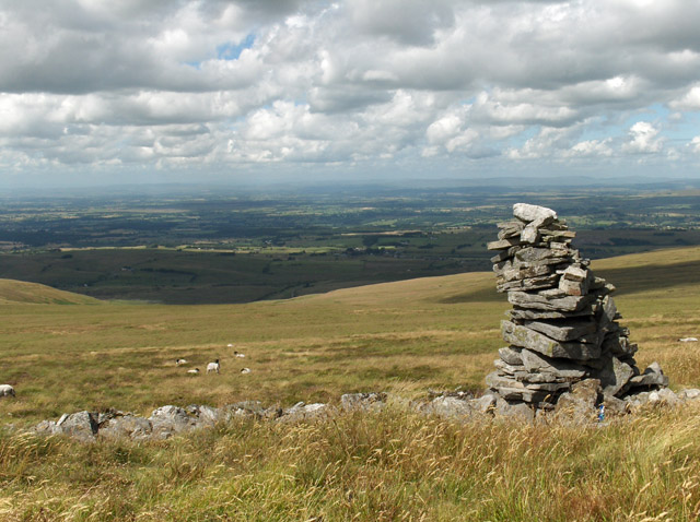
Tindale Images

Images are sourced within 2km of 54.928546/-2.599195 or Grid Reference NY6159. Thanks to Geograph Open Source API. All images are credited.

View towards Tindale Tarn
Tindale Tarn The tarn as seen from a hide at its west end. It's managed as part of the RSPB's Geltsdale reserve.
Tindale Tarn
The tarn as seen from a hide at its west end. It's managed as part of the RSPB's Geltsdale reserve.
Brick building below road to disused quarry The small building lies below the access road for the disused quarry above the Black Burn near Midgeholme.
Brick building below road to disused quarry
The small building lies below the access road for the disused quarry above the Black Burn near Midgeholme.
Quarry near to Black Burn A striking, disused quarry north-west of Byers Pike seen from the west across the valley of the Black Burn. There's little remaining on the site, just the ruins of a concrete building and the access road.
Les Hull names the feature as Raven Crag Quarry - <a title="https://www.geograph.org.uk/photo/1481511" href="https://www.geograph.org.uk/photo/1481511">Link</a> .
Quarry near to Black Burn
A striking, disused quarry north-west of Byers Pike seen from the west across the valley of the Black Burn. There's little remaining on the site, just the ruins of a concrete building and the access road. Les Hull names the feature as Raven Crag Quarry - Link .
Riggfoot Farm and environs near Tindale A view of this pastoral scene captured from a footpath/cycleway utilising the route of a former railway.

This photograph was taken during the Coronavirus (COVID-19) pandemic of 2020/21/22.
Riggfoot Farm and environs near Tindale
A view of this pastoral scene captured from a footpath/cycleway utilising the route of a former railway. This photograph was taken during the Coronavirus (COVID-19) pandemic of 2020/21/22.
Tarn Beck and the former site of Tindale Spelter and Fume Works An industrial wasteland produced as a result of the production of zinc in the 19 and early 20th century.  Refer to the Historic England entry at <span class="nowrap"><a title="https://historicengland.org.uk/listing/the-list/list-entry/1019761?section=official-list-entry" rel="nofollow ugc noopener" href="https://historicengland.org.uk/listing/the-list/list-entry/1019761?section=official-list-entry">Link</a><img style="margin-left:2px;" alt="External link" title="External link - shift click to open in new window" src="https://s1.geograph.org.uk/img/external.png" width="10" height="10"/></span> for further information.

This photograph was taken during the Coronavirus (COVID-19) pandemic of 2020/21/22.
Tarn Beck and the former site of Tindale Spelter and Fume Works
An industrial wasteland produced as a result of the production of zinc in the 19 and early 20th century. Refer to the Historic England entry at LinkExternal link for further information. This photograph was taken during the Coronavirus (COVID-19) pandemic of 2020/21/22.
Former Emporium, Tindale Since my last photo of this house it has been sold and restoration to the outside has been carried out.  It much more distinctive in appearance and the restoration has enhanced the appearance of this property.
<a title="https://www.geograph.org.uk/photo/898697" href="https://www.geograph.org.uk/photo/898697">Link</a>
Former Emporium, Tindale
Since my last photo of this house it has been sold and restoration to the outside has been carried out. It much more distinctive in appearance and the restoration has enhanced the appearance of this property. Link
Spoil Heaps from Zinc Mining and Tarn Beck
Riggfoot Farm
Riggfoot Farm
Spoil Heaps from Zinc Mining and Tarn Beck
Spoil Heaps from Zinc Mining and Tarn Beck View towards Bishophill (white house) and Brithwaite Forest.
Spoil Heaps from Zinc Mining and Tarn Beck
View towards Bishophill (white house) and Brithwaite Forest.
Possible Remains of the Zinc Smelt Mill
Bishophill No doubt housed workers from the zinc mine and smelter.
Bishophill
No doubt housed workers from the zinc mine and smelter.
View towards Former Emporium, Tindale Tarn Beck valley.
View towards Former Emporium, Tindale
Tarn Beck valley.
Lime Kiln
Lime Kiln
Disused Quarry Entrance
Possible Bridge Abutment This may have been a bridge supporting a small mineral line over the main tramway for the zinc mine.  If so it may have been built to transport rock from the quarry.
Possible Bridge Abutment
This may have been a bridge supporting a small mineral line over the main tramway for the zinc mine. If so it may have been built to transport rock from the quarry.
Possible Potting Shed, Tarn House
Show me another place!

Tindale is located at Grid Ref: NY6159 (Lat: 54.928546, Lng: -2.599195)

Administrative County: Cumbria

District: Carlisle

Police Authority: Cumbria

What 3 Words

///purifier.plugged.veal. Near Greenhead, Northumberland

Nearby Locations

Roachburn Tindale

Related Wikis

Tindale, Cumbria

Tindale or Tindale Fell is a hamlet in the parish of Farlam in the City of Carlisle district of the English county of Cumbria. It is to the south of the...

Geltsdale RSPB reserve

Geltsdale RSPB reserve is a nature reserve in Geltsdale, Cumbria, England. The Royal Society for the Protection of Birds manages the site for upland birds...

Midgeholme

Midgeholme is a hamlet and civil parish in City of Carlisle district, Cumbria, England. At the 2001 census the parish had a population of 67.The parish...

Midgeholme Coalfield

The Midgeholme Coalfield is a coalfield in Midgeholme, on the border of Cumbria with Northumberland in northern England. It is the largest of a series...

Hallbankgate

Hallbankgate is a village in Cumbria, England, 13 miles (21 km) east of Carlisle. A former coal and lead mining village, it straddles the A689 Brampton...

Halton Lea Gate

Halton Lea Gate is a small village in Northumberland, England, on the A689 road close to the boundary of the counties of Northumberland and Cumbria. The...

Nether Denton

Nether Denton is a scattered settlement and civil parish in rural Cumbria, England, situated about 12 miles (19 km) north-east of Carlisle, by the A69...

Cold Fell (Pennines)

Cold Fell is a mountain in the northern Pennines, in Cumbria, England. Lying among the northernmost uplands of the North Pennines AONB, it is the most...

Nearby Amenities

Located within 500m of 54.928546,-2.599195
Woodend
Place: locality
Lat/Long: 54.9283286/-2.5922201
Roachburn Colliery
Historic: mine
Is In Country Code: GB
Is In County: Cumbria
Mineral: coal
Source: http://www.cumbria-railways.co.uk/brampton_railway.html
Lat/Long: 54.9315281/-2.602534
Tindale Fell Spelter Works
Historic: industrial
Is In Country Code: GB
Is In County: Cumbria
Source: http://www.cumbria-railways.co.uk/brampton_railway.html
Lat/Long: 54.9244295/-2.5966971
Dolesholegate Cottage
Local Ref: AT
Naptan AtcoCode: 090033170987
Naptan Bearing: E
Naptan BusStopType: CUS
Naptan CommonName: Dolesholegate Cottage
Naptan Indicator: at
Naptan Landmark: Dolesholegate Cottage
Naptan NaptanCode: cumapwaj
Naptan Street: No name
Naptan Verified: no
Source: naptan_import
Lat/Long: 54.9272244/-2.5985586
Roachburn (E bound)
Local Ref: AT
Naptan AtcoCode: 090033171326
Naptan Bearing: E
Naptan BusStopType: CUS
Naptan CommonName: Roachburn (E bound)
Naptan Indicator: at
Naptan Landmark: end of road leading to Roachburn
Naptan NaptanCode: cumapwam
Naptan Street: A689
Naptan Verified: no
Source: naptan_import
Lat/Long: 54.9307369/-2.6024499
Old Chapel
Naptan AtcoCode: 090033172702
Naptan Bearing: E
Naptan BusStopType: CUS
Naptan CommonName: Old Chapel
Naptan Indicator: o/s
Naptan Landmark: Old Chapel Tindale
Naptan NaptanCode: cumapwdj
Naptan Street: No name
Naptan Verified: no
Source: naptan_import
Lat/Long: 54.9271034/-2.5975737
Roachburn (W bound)
Local Ref: AT
Naptan AtcoCode: 090033173456
Naptan Bearing: W
Naptan BusStopType: CUS
Naptan CommonName: Roachburn (W bound)
Naptan Indicator: at
Naptan Landmark: end of road leading to Roachburn
Naptan NaptanCode: cumapwdp
Naptan Street: A689
Naptan Verified: no
Source: naptan_import
Lat/Long: 54.9306574/-2.6021834
Tindale
Place: locality
Source: OS_OpenData_StreetView
Wikidata: Q7808036
Lat/Long: 54.9277401/-2.5987074
Bench
Lat/Long: 54.9308244/-2.6017807
Telephone
Lat/Long: 54.9278153/-2.5987324
Post Box
Ref: CA8 403
Lat/Long: 54.9274265/-2.5990377
Post Box
Ref: CA8 71
Lat/Long: 54.9308027/-2.6053611
Addr Housenumber: 6
Fixme: rest of address lacking
Lat/Long: 54.9306067/-2.604787
Bishophill
Place: locality
Lat/Long: 54.9248782/-2.5995419
Power: pole
Lat/Long: 54.9301343/-2.6052559
Power: pole
Lat/Long: 54.9295286/-2.6053631
Power: pole
Lat/Long: 54.9288228/-2.6054764
Power: pole
Lat/Long: 54.9280636/-2.6056039
Power: pole
Lat/Long: 54.9275439/-2.6043554
Power: pole
Lat/Long: 54.9269881/-2.6030098
Power: pole
Lat/Long: 54.9264579/-2.6017168
Power: pole
Lat/Long: 54.9259636/-2.600519
Power: pole
Lat/Long: 54.9253765/-2.5990964
Power: pole
Lat/Long: 54.9249998/-2.5981757
Power: pole
Lat/Long: 54.9250021/-2.5965549
Power: pole
Lat/Long: 54.9250788/-2.595189
Power: pole
Lat/Long: 54.9275357/-2.5917552
Power: pole
Lat/Long: 54.926416/-2.6002073
Power: pole
Lat/Long: 54.9272055/-2.5997176
Power: pole
Lat/Long: 54.9326705/-2.598544
Power: pole
Lat/Long: 54.9321695/-2.5984691
Power: pole
Lat/Long: 54.9317091/-2.5985035
Power: pole
Lat/Long: 54.9311452/-2.5985683
Power: pole
Lat/Long: 54.9305767/-2.5995446
Power: pole
Lat/Long: 54.9303744/-2.6042957
Power: pole
Lat/Long: 54.9307941/-2.6025717
Power: pole
Lat/Long: 54.9315405/-2.6012261
The data included in this document is from www.openstreetmap.org. The data is made available under ODbL.

Have you been to Tindale?

Leave your review of Tindale below (or comments, questions and feedback).