Boscomoor

Settlement in Staffordshire South Staffordshire

England

Boscomoor

Filance Lock near Penkridge in Staffordshire Filance Lock is No 37 on the Staffordshire and Worcestershire Canal near Penkridge, by Templars Way. It proviseds a fall (or rise) of 10ft 3in (about 3·1 metres).
Filance Lock near Penkridge in Staffordshire Credit: Roger D Kidd

Boscomoor is a small village located in the county of Staffordshire, England. Situated approximately 5 miles northwest of the town of Cannock, it falls within the Cannock Chase District. The village is surrounded by picturesque countryside, characterized by rolling hills and woodland areas, offering a serene and tranquil atmosphere for its residents.

With a population of around 1,000 people, Boscomoor is a close-knit community that prides itself on its friendly and welcoming nature. The village is known for its strong community spirit, with various local events and activities organized throughout the year, bringing neighbors together.

Despite its small size, Boscomoor offers a range of amenities for its residents. These include a primary school, a village hall, and a local pub, providing a central meeting point for locals. The village also benefits from its proximity to Cannock, where a wider range of shops, supermarkets, and services can be found.

The surrounding area offers ample opportunities for outdoor recreation. The nearby Cannock Chase, designated as an Area of Outstanding Natural Beauty, provides beautiful walking and cycling trails, as well as opportunities for wildlife spotting. Additionally, Boscomoor is well-connected to other towns and cities in the region, with good transport links, including regular bus services and nearby railway stations.

Overall, Boscomoor offers a peaceful and scenic setting, making it an ideal place for those seeking a quiet and close-knit community, while still having access to nearby amenities and natural beauty.

If you have any feedback on the listing, please let us know in the comments section below.
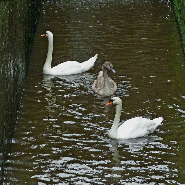
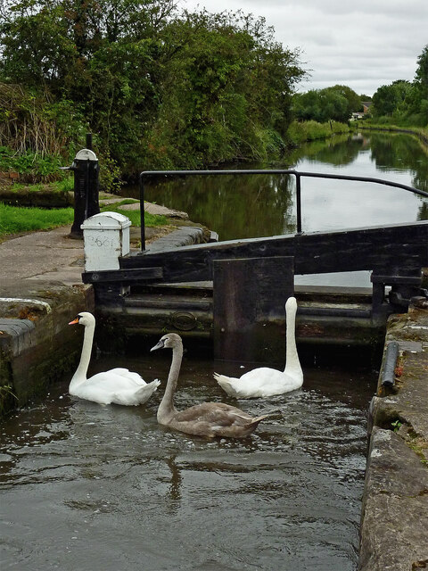
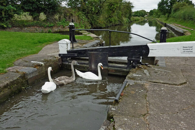
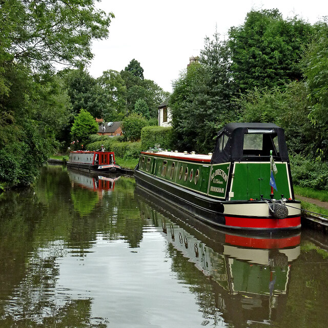
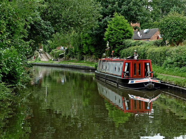
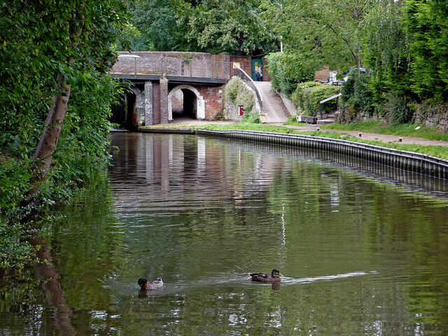
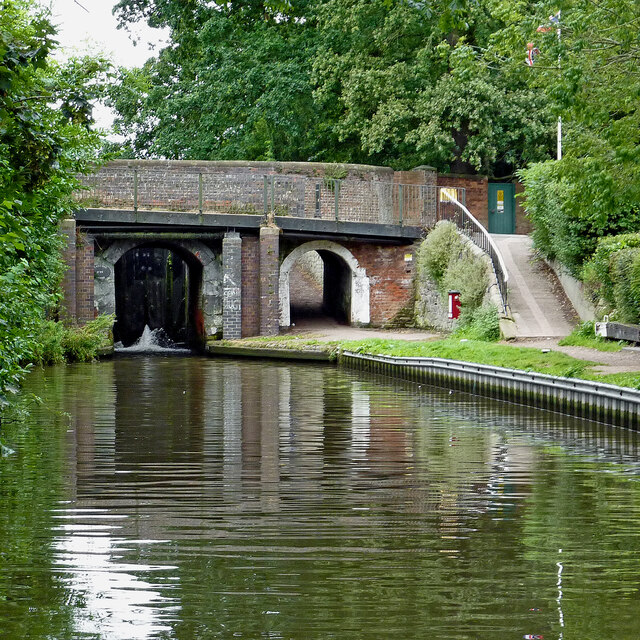
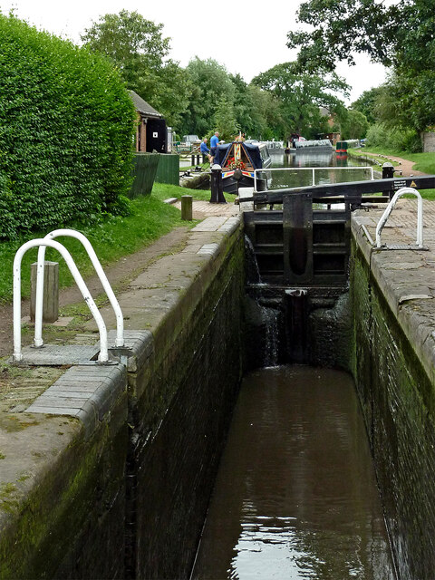
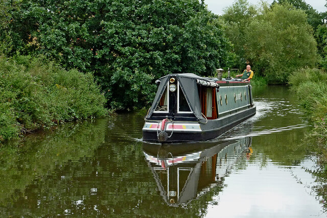
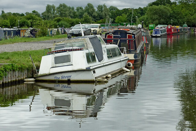
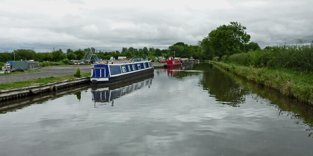
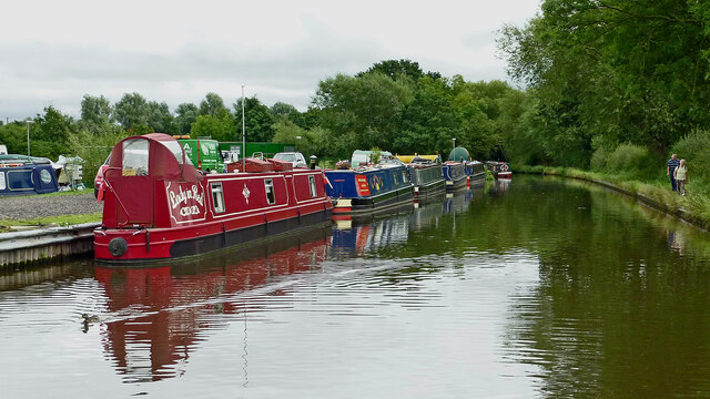
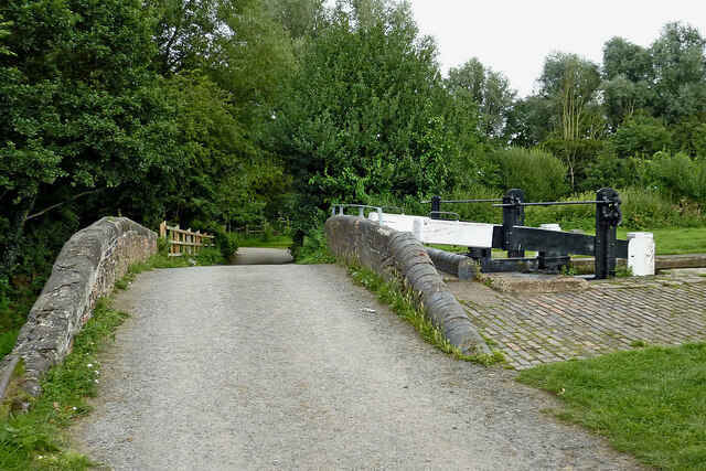
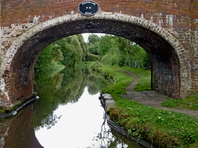
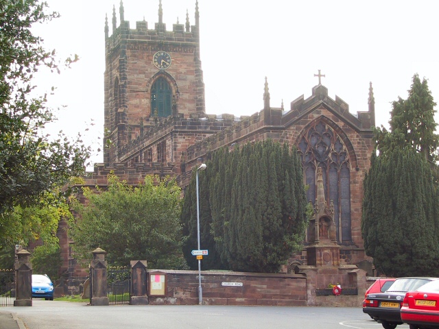
Boscomoor Images

Images are sourced within 2km of 52.717275/-2.1147 or Grid Reference SJ9213. Thanks to Geograph Open Source API. All images are credited.

Filance Lock near Penkridge in Staffordshire Filance Lock is No 37 on the Staffordshire and Worcestershire Canal near Penkridge, by Templars Way. It proviseds a fall (or rise) of 10ft 3in (about 3·1 metres).
Filance Lock near Penkridge in Staffordshire
Filance Lock is No 37 on the Staffordshire and Worcestershire Canal near Penkridge, by Templars Way. It proviseds a fall (or rise) of 10ft 3in (about 3·1 metres).
Swans in Longford Lock near Penkridge, Staffordshire These three wanted a free lift up to the next water level.

<a href="https://www.geograph.org.uk/photo/7049547">SJ9314 : Swans using Longford Lock near Penkridge, Staffordshire</a>
Swans in Longford Lock near Penkridge, Staffordshire
These three wanted a free lift up to the next water level. SJ9314 : Swans using Longford Lock near Penkridge, Staffordshire
Mixed usage of Longord Lock near Penkridge The three swans swam into the lock chamber in front of the narrowboat. Despite the turbulence of the water entering the lock through the gate paddles, they showed little sign of distress or concern.

Longford Lock is No 39 on the Staffordshire and Worcestershire Canal, providing a rise (or fall) of ten feet (three metres).


<a href="https://www.geograph.org.uk/photo/7049572">SJ9314 : Longford Lock with swans, north of Penkridge</a>
Mixed usage of Longord Lock near Penkridge
The three swans swam into the lock chamber in front of the narrowboat. Despite the turbulence of the water entering the lock through the gate paddles, they showed little sign of distress or concern. Longford Lock is No 39 on the Staffordshire and Worcestershire Canal, providing a rise (or fall) of ten feet (three metres). SJ9314 : Longford Lock with swans, north of Penkridge
Swans using Longford Lock near Penkridge, Staffordshire Looking south towards Penkridge and Wolverhampton.
The three swans swam into the lock chamber in front of a narrowboat. Despite the turbulence of the water entering the lock through the gate paddles, they showed little sign of distress or concern, and waited patiently for me to open the gate.

Longford Lock is No 39 on the Staffordshire and Worcestershire Canal, providing a rise (or fall) of ten feet (three metres).
Swans using Longford Lock near Penkridge, Staffordshire
Looking south towards Penkridge and Wolverhampton. The three swans swam into the lock chamber in front of a narrowboat. Despite the turbulence of the water entering the lock through the gate paddles, they showed little sign of distress or concern, and waited patiently for me to open the gate. Longford Lock is No 39 on the Staffordshire and Worcestershire Canal, providing a rise (or fall) of ten feet (three metres).
Longford Lock with swans, north of Penkridge Looking south towards Penkridge and Wolverhampton.
The three swans swam into the lock chamber in front of a narrowboat. Despite the initial turbulence of the water entering the lock through the gate paddles, they showed little sign of distress or concern, and are waiting patiently for me to open the gate.

<a href="https://www.geograph.org.uk/photo/7049535">SJ9314 : Mixed usage of Longord Lock near Penkridge</a>

Longford Lock is No 39 on the Staffordshire and Worcestershire Canal, providing a rise (or fall) of ten feet (three metres).
Longford Lock with swans, north of Penkridge
Looking south towards Penkridge and Wolverhampton. The three swans swam into the lock chamber in front of a narrowboat. Despite the initial turbulence of the water entering the lock through the gate paddles, they showed little sign of distress or concern, and are waiting patiently for me to open the gate. SJ9314 : Mixed usage of Longord Lock near Penkridge Longford Lock is No 39 on the Staffordshire and Worcestershire Canal, providing a rise (or fall) of ten feet (three metres).
Housing by the canal near Penkridge in Staffordshire This is the Staffordshire and Worcestershire Canal, looking south-west towards Penkridge Lock. The mobile homes are in Little Marsh Grove.
Housing by the canal near Penkridge in Staffordshire
This is the Staffordshire and Worcestershire Canal, looking south-west towards Penkridge Lock. The mobile homes are in Little Marsh Grove.
Moored narrowboats near Penkridge in Staffordshire This is the Staffordshire and Worcestershire Canal, looking south-west towards Penkridge Lock (just past the bend). There are plenty of visitor moorings here north of Penkridge Lock.
Moored narrowboats near Penkridge in Staffordshire
This is the Staffordshire and Worcestershire Canal, looking south-west towards Penkridge Lock (just past the bend). There are plenty of visitor moorings here north of Penkridge Lock.
Staffordshire and Worcestershire Canal at Penkridge in Staffordshire This is the Staffordshire and Worcestershire Canal, looking south-west towards Penkridge Lock (just past the bend). There are plenty of visitor moorings here north of Penkridge Bridge and Lock.
Staffordshire and Worcestershire Canal at Penkridge in Staffordshire
This is the Staffordshire and Worcestershire Canal, looking south-west towards Penkridge Lock (just past the bend). There are plenty of visitor moorings here north of Penkridge Bridge and Lock.
Canal by Penkridge Bridge, Staffordshire This is the Staffordshire and Worcestershire Canal at Penkridge Bridge (No 86) and Lock (No 38 (just visible). There are plenty of visitor moorings behind the camera. The popular Boat Inn is off to the right.
Canal by Penkridge Bridge, Staffordshire
This is the Staffordshire and Worcestershire Canal at Penkridge Bridge (No 86) and Lock (No 38 (just visible). There are plenty of visitor moorings behind the camera. The popular Boat Inn is off to the right.
Penkridge Bridge and Lock in Staffordshire This is the Staffordshire and Worcestershire Canal at Penkridge Bridge (No 86) and Lock (No 38). There are plenty of visitor moorings behind the camera. The bridge carries Cannock Road. The lock provides a rise of 9ft 3in (2·8 metres), and its tail gates are leaking badly. The popular Boat Inn is off to the right.
Penkridge Bridge and Lock in Staffordshire
This is the Staffordshire and Worcestershire Canal at Penkridge Bridge (No 86) and Lock (No 38). There are plenty of visitor moorings behind the camera. The bridge carries Cannock Road. The lock provides a rise of 9ft 3in (2·8 metres), and its tail gates are leaking badly. The popular Boat Inn is off to the right.
Penkridge Lock in Staffordshire Looking south towards Wolverhampton and Stourport.
Penkridge Lock is No 38 on the Staffordshire and Worcestershire Canal. The lock provides a rise of 9ft 3in (2·8 metres), and has been drained in this image in anticipation of a narrowboat approaching from behind the camera. Contrasting with the bottom gates, the top gate is leaking minimally.
Penkridge Lock in Staffordshire
Looking south towards Wolverhampton and Stourport. Penkridge Lock is No 38 on the Staffordshire and Worcestershire Canal. The lock provides a rise of 9ft 3in (2·8 metres), and has been drained in this image in anticipation of a narrowboat approaching from behind the camera. Contrasting with the bottom gates, the top gate is leaking minimally.
Wading heron south of Penkridge, Staffordshire Unusually this bird decided not to fly off as we passed it on the Staffordshire and Worcestershire Canal. Teveray Drive housing is by the canal, above.
Wading heron south of Penkridge, Staffordshire
Unusually this bird decided not to fly off as we passed it on the Staffordshire and Worcestershire Canal. Teveray Drive housing is by the canal, above.
Canal cruising south of Penkridge in Staffordshire This is the Staffordshire and Worcestershire Canal at the southern edge of Penkridge, looking south-east as the canal meanders towards Wolverhampton and Stourport.
Canal cruising south of Penkridge in Staffordshire
This is the Staffordshire and Worcestershire Canal at the southern edge of Penkridge, looking south-east as the canal meanders towards Wolverhampton and Stourport.
Sunken boat by Otherton Marina near Penkridge A notice on the boat stated that it had been hit by a passing hire boat. Staffordshire and Worcestershire Canal.
Sunken boat by Otherton Marina near Penkridge
A notice on the boat stated that it had been hit by a passing hire boat. Staffordshire and Worcestershire Canal.
Staffordshire and Worcestershire Canal south of Penkridge Looking south-east towards Wolverhampton and Stourport. Otherton Marina is on the left.
Staffordshire and Worcestershire Canal south of Penkridge
Looking south-east towards Wolverhampton and Stourport. Otherton Marina is on the left.
Staffordshire and Worcestershire Canal south of Penkridge Looking south-east towards Wolverhampton and Stourport. Otherton Marina is on the left.
Staffordshire and Worcestershire Canal south of Penkridge
Looking south-east towards Wolverhampton and Stourport. Otherton Marina is on the left.
Otherton Bridge and Lock near Penkridge, Staffordshire Otherton Bridge is No 83 across the Staffordshire and Worcestershire Canal south of Penkridge. It is an accommodation bridge which also carries a public footpath. Otherton Lock provides a rise (or fall) of 10ft 3in (3·1 metres).
The noisy M6 motorway is behind the trees.
Otherton Bridge and Lock near Penkridge, Staffordshire
Otherton Bridge is No 83 across the Staffordshire and Worcestershire Canal south of Penkridge. It is an accommodation bridge which also carries a public footpath. Otherton Lock provides a rise (or fall) of 10ft 3in (3·1 metres). The noisy M6 motorway is behind the trees.
Staffordshire and Worcestershire Canal south of Penkridge Looking south towards Wolverhampton through the arch of Otherton Lane Bridge, No 81.
Staffordshire and Worcestershire Canal south of Penkridge
Looking south towards Wolverhampton through the arch of Otherton Lane Bridge, No 81.
Show me another place!

Boscomoor is located at Grid Ref: SJ9213 (Lat: 52.717275, Lng: -2.1147)

Administrative County: Staffordshire

District: South Staffordshire

Police Authority: Staffordshire

What 3 Words

///threaded.grownup.needed. Near Penkridge, Staffordshire

Nearby Locations

The Swamp Boscomoor

Related Wikis

History of Penkridge

Penkridge is a village and parish in Staffordshire with a history stretching back to the Anglo-Saxon period. A religious as well as a commercial centre...

Penkridge railway station

Penkridge railway station is a railway station serving the village of Penkridge in Staffordshire, England. It is situated on the Birmingham loop of the...

Penkridge

Penkridge ( PENG-krij) is a large village and civil parish in South Staffordshire District in Staffordshire, England. It is to the south of Stafford, north...

Rodbaston

Rodbaston is a village in Staffordshire, England. The population as taken at the 2011 census can be found under Penkridge. It is the location of a campus...

Nearby Amenities

Located within 500m of 52.717275,-2.1147
Bus Stop
Bungham Lane
Bus: yes
Naptan AtcoCode: 3800C607600
Naptan Bearing: N
Naptan CommonName: Bungham Lane
Naptan Indicator: Adj
Naptan Landmark: Bungham Lane
Naptan Street: Wolverhampton Road
Naptan Verified: no
Public Transport: platform
Source: naptan_import
Lat/Long: 52.7193281/-2.1176848
Bus Stop
Boscomoor Lane
Bus: yes
Naptan AtcoCode: 3800C607601
Naptan Bearing: S
Naptan CommonName: Boscomoor Lane
Naptan Indicator: Adj
Naptan Landmark: Boscomoor Lane
Naptan Street: Wolverhampton Road
Naptan Verified: no
Public Transport: platform
Source: naptan_import
Lat/Long: 52.7186897/-2.1177275
Bus Stop
Mayfield Avenue
Bus: yes
Naptan AtcoCode: 3800C608000
Naptan Bearing: N
Naptan CommonName: Mayfield Avenue
Naptan Indicator: Adj
Naptan Landmark: Mayfield Avenue
Naptan Street: Wolverhampton Road
Naptan Verified: no
Public Transport: platform
Source: naptan_import
Lat/Long: 52.7207848/-2.117289
Bus Stop
Mayfield Avenue
Bus: yes
Naptan AtcoCode: 3800C608001
Naptan Bearing: S
Naptan CommonName: Mayfield Avenue
Naptan Indicator: Opp
Naptan Landmark: Mayfield Av
Naptan Street: Wolverhampton Road
Naptan Verified: no
Public Transport: platform
Source: naptan_import
Lat/Long: 52.7204526/-2.1169179
Bus Stop
Fire Station
Bus: yes
Naptan AtcoCode: 3800C618601
Naptan Bearing: NW
Naptan CommonName: Fire Station
Naptan Indicator: Adj
Naptan Landmark: Fire Station
Naptan Street: Boscomoor Lane
Naptan Verified: no
Public Transport: platform
Source: naptan_import
Lat/Long: 52.7172365/-2.1145555
Bus Stop
Fire Station
Bus: yes
Naptan AtcoCode: 3800C618602
Naptan Bearing: SE
Naptan CommonName: Fire Station
Naptan Indicator: Opp
Naptan Landmark: Fire Station
Naptan Street: Boscomoor Lane
Naptan Verified: no
Public Transport: platform
Source: naptan_import
Lat/Long: 52.7173911/-2.1165124
Bus Stop
Boscomoor Lane
Bus: yes
Naptan AtcoCode: 3800C618701
Naptan Bearing: N
Naptan CommonName: Boscomoor Lane
Naptan Indicator: Adj
Naptan Landmark: Boscomoor Lane
Naptan Street: Vale Gardens
Naptan Verified: no
Public Transport: platform
Source: naptan_import
Lat/Long: 52.7181694/-2.116675
Bus Stop
Brook Close
Bus: yes
Naptan AtcoCode: 3800C619301
Naptan Bearing: N
Naptan CommonName: Brook Close
Naptan Indicator: Opp
Naptan Landmark: Brook Close
Naptan Street: Vale Gardens
Naptan Verified: no
Public Transport: platform
Source: naptan_import
Lat/Long: 52.7190697/-2.1153153
Bus Stop
Tildesley Close
Bus: yes
Naptan AtcoCode: 3800C619401
Naptan Bearing: NE
Naptan CommonName: Tildesley Close
Naptan Indicator: Adj
Naptan Landmark: Tildesley Close
Naptan Street: Vale Gardens
Naptan Verified: no
Public Transport: platform
Source: naptan_import
Lat/Long: 52.7211249/-2.1154067
Bus Stop
Manorfield Close
Bus: yes
Naptan AtcoCode: 3800C619501
Naptan Bearing: W
Naptan CommonName: Manorfield Close
Naptan Indicator: Adj
Naptan Landmark: Manorfield Close
Naptan Street: Vale Gardens
Public Transport: platform
Source: naptan_import
Lat/Long: 52.7213727/-2.1132907
Barrier: bollard
Lat/Long: 52.7183303/-2.1104895
Penkridge Primary Sub-Station
Power: substation
Ref: 8754
Lat/Long: 52.7151054/-2.1121983
Barrier: cycle_barrier
Lat/Long: 52.7201541/-2.1194889
Post Box
Ref: ST19 387
Lat/Long: 52.7175709/-2.1150844
Post Box
Ref: ST19 259
Lat/Long: 52.7212361/-2.1154782
Fullmore Close
Power: substation
Ref: 8845
Lat/Long: 52.7178477/-2.1079749
Barrier: bollard
Lat/Long: 52.7188049/-2.109956
Rendermore Close
Power: substation
Ref: 8844
Lat/Long: 52.7187837/-2.113124
Recycling
Lat/Long: 52.7174362/-2.117907
Fast Food
Flaming Grill
Lat/Long: 52.7169684/-2.1182784
Barrier: bollard
Lat/Long: 52.7168863/-2.1190171
Costcutter
Brand: Costcutter
Brand Wikidata: Q5175072
Brand Wikipedia: en:Costcutter
Shop: convenience
Lat/Long: 52.7168575/-2.1188127
Restaurant
Minhs Cantonese Restaurant
Cuisine: cantonese
Lat/Long: 52.7170178/-2.1179985
Lyne Hill Industrial Estate
Power: substation
Ref: 8228
Lat/Long: 52.716807/-2.11726
Restaurant
SpiceMahal
Cuisine: indian
Lat/Long: 52.7168915/-2.1185674
Fast Food
Oysters
Cuisine: fish_and_chips
Lat/Long: 52.7168526/-2.118267
Orange
Man Made: tower
Lat/Long: 52.7172383/-2.1187211
Noexit: yes
Lat/Long: 52.7153225/-2.1202884
Noexit: yes
Lat/Long: 52.7150363/-2.119495
Noexit: yes
Lat/Long: 52.7150615/-2.1196357
Noexit: yes
Lat/Long: 52.7149452/-2.118801
Noexit: yes
Lat/Long: 52.7149068/-2.118605
Noexit: yes
Lat/Long: 52.7147203/-2.1178635
Bus Stop
Bus: yes
Public Transport: platform
Lat/Long: 52.7214593/-2.1138382
Grit Bin
Lat/Long: 52.7214779/-2.1137524
Bench
Lat/Long: 52.7216859/-2.1141493
Height: 5
Natural: cliff
Lat/Long: 52.7212501/-2.1157727
Noexit: yes
Lat/Long: 52.7163125/-2.1194075
Noexit: yes
Lat/Long: 52.7151631/-2.1175799
Noexit: yes
Lat/Long: 52.7160117/-2.1192549
Noexit: yes
Lat/Long: 52.7156705/-2.119267
Noexit: yes
Lat/Long: 52.7156449/-2.1175551
Noexit: yes
Lat/Long: 52.7165267/-2.1192737
Barrier: bollard
Motor Vehicle: no
Lat/Long: 52.7159312/-2.1135914
Barrier: bollard
Motor Vehicle: no
Lat/Long: 52.715907/-2.113783
Generator Method: photovoltaic
Generator Output Electricity: yes
Generator Source: solar
Generator Type: solar_photovoltaic_panel
Location: roof
Power: generator
Lat/Long: 52.7170507/-2.1197578
Generator Method: photovoltaic
Generator Output Electricity: yes
Generator Source: solar
Generator Type: solar_photovoltaic_panel
Location: roof
Power: generator
Lat/Long: 52.716937/-2.1204525
Generator Method: photovoltaic
Generator Output Electricity: yes
Generator Source: solar
Generator Type: solar_photovoltaic_panel
Location: roof
Power: generator
Lat/Long: 52.7185227/-2.118752
Generator Method: photovoltaic
Generator Output Electricity: yes
Generator Source: solar
Generator Type: solar_photovoltaic_panel
Location: roof
Power: generator
Lat/Long: 52.7209321/-2.1175289
The data included in this document is from www.openstreetmap.org. The data is made available under ODbL.

Have you been to Boscomoor?

Leave your review of Boscomoor below (or comments, questions and feedback).