Boscadjack

Settlement in Cornwall

England

Boscadjack

Farmland, Wendron Roselidden Farm is seen across an arable field from Rowe's Lane.
Farmland, Wendron Credit: Andrew Smith

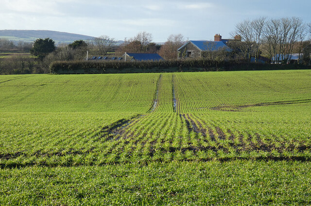
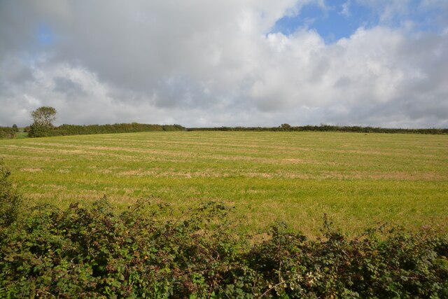
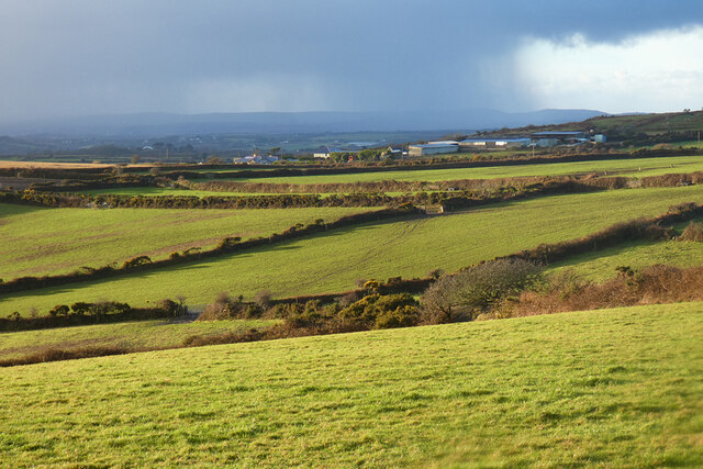
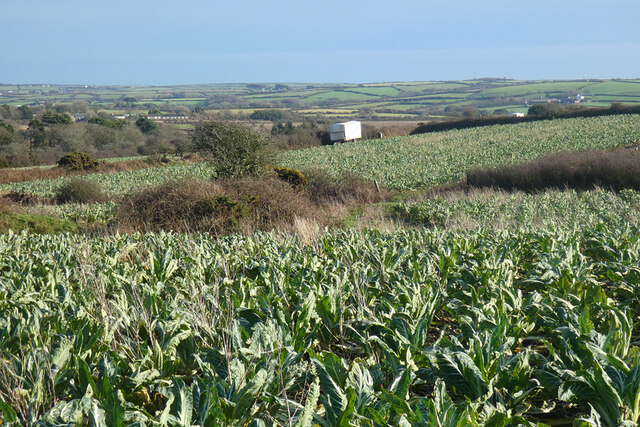
Boscadjack is a small village located in the county of Cornwall, in southwestern England. Situated near the coast, it lies approximately 5 miles northeast of the popular tourist destination, St Ives. Boscadjack is nestled in a picturesque setting, surrounded by rolling hills, lush green fields, and breathtaking countryside.

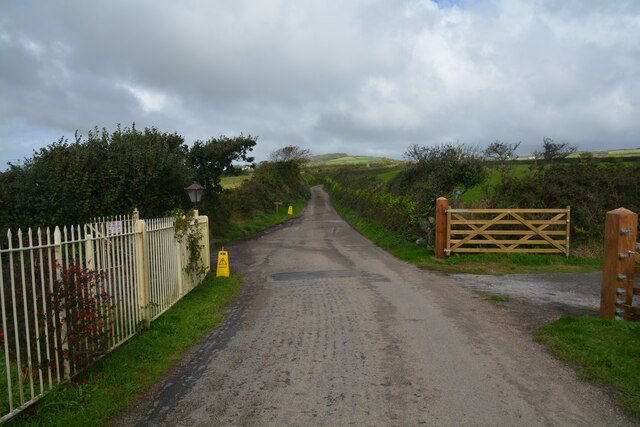
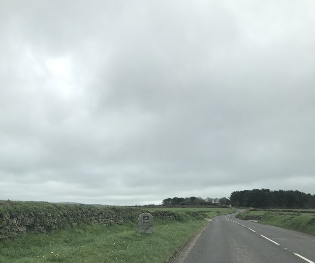
The village itself is characterized by its quaint and charming atmosphere, with a collection of traditional stone cottages and narrow winding streets. Boscadjack boasts a strong sense of community, with a close-knit population that takes pride in preserving its rural character.

One of the notable features of Boscadjack is its proximity to the beautiful Cornish coastline. The village is just a short distance from several stunning sandy beaches, including Gwithian and Godrevy, which are renowned for their excellent surfing conditions. These beaches also offer breathtaking views of the rugged cliffs and sparkling blue waters of the Atlantic Ocean.

In terms of amenities, Boscadjack offers limited facilities, including a small village shop and a local pub. However, the larger town of St Ives is easily accessible, providing residents with a wider range of services, shops, and eateries.

Boscadjack is a haven for nature lovers and outdoor enthusiasts, with numerous walking and cycling trails crisscrossing the surrounding countryside. The area is also home to a variety of wildlife, including rare bird species and seals, making it an ideal destination for birdwatching and wildlife spotting.

Overall, Boscadjack offers a peaceful and idyllic retreat, perfect for those seeking a slower pace of life and a close connection to nature.

If you have any feedback on the listing, please let us know in the comments section below.
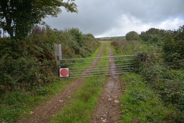
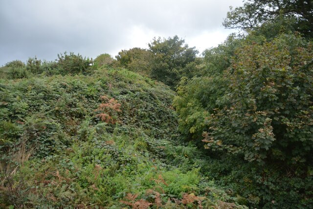
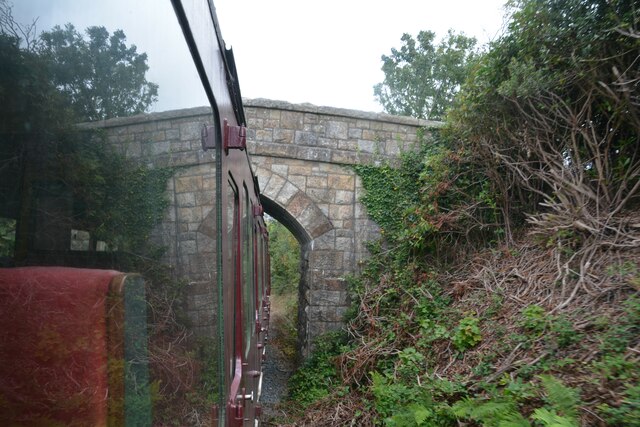
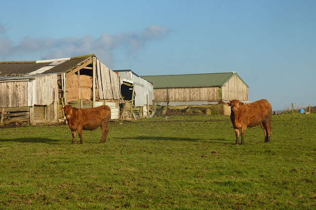
Boscadjack Images

Images are sourced within 2km of 50.13058/-5.260097 or Grid Reference SW6730. Thanks to Geograph Open Source API. All images are credited.

Farmland, Wendron Roselidden Farm is seen across an arable field from Rowe's Lane.
Farmland, Wendron
Roselidden Farm is seen across an arable field from Rowe's Lane.
Sithney : Road Looking along a road.
Sithney : Road
Looking along a road.
Sithney : Grassy Field Looking out towards a field.
Sithney : Grassy Field
Looking out towards a field.
Old Wayside Cross in Bodilly Veor, Wendron Bodilly Cross, incised in a stone on the west side of the road in Bodilly Veor, Wendron parish. A Scheduled Monument <span class="nowrap"><a title="https://historicengland.org.uk/listing/the-list/list-entry/1010851" rel="nofollow ugc noopener" href="https://historicengland.org.uk/listing/the-list/list-entry/1010851">Link</a><img style="margin-left:2px;" alt="External link" title="External link - shift click to open in new window" src="https://s1.geograph.org.uk/img/external.png" width="10" height="10"/></span>. See also <a title="https://www.geograph.org.uk/photo/3379823" href="https://www.geograph.org.uk/photo/3379823">Link</a>.

Milestone Society National ID: CWKE_WEN09
Old Wayside Cross in Bodilly Veor, Wendron
Bodilly Cross, incised in a stone on the west side of the road in Bodilly Veor, Wendron parish. A Scheduled Monument LinkExternal link. See also Link. Milestone Society National ID: CWKE_WEN09
Crowntown : Track A track seen beyond the gate.
Crowntown : Track
A track seen beyond the gate.
Crowntown : Bushes Bushes seen from the Helston Heritage Railway.
Crowntown : Bushes
Bushes seen from the Helston Heritage Railway.
Crowntown : Helston Heritage Railway On the train heading under the bridge.
Crowntown : Helston Heritage Railway
On the train heading under the bridge.
Pasture, Wendron A footpath crosses small fields on the approach to Higher Manhay Farm.
Pasture, Wendron
A footpath crosses small fields on the approach to Higher Manhay Farm.
Pasture and farm buildings, Sithney Cattle in a field to the south of Wheal Mount Farm.
Pasture and farm buildings, Sithney
Cattle in a field to the south of Wheal Mount Farm.
Pasture, Sithney High Park Farm is seen in the middle distance with a showery skyline and the higher ground near St Ives beyond.
Pasture, Sithney
High Park Farm is seen in the middle distance with a showery skyline and the higher ground near St Ives beyond.
Farmland, Sithney The cauliflowers here look like they are approaching being large enough for harvesting. One of the grower's wagons is seen ahead. It belongs to a Lincolnshire-based company that also operates down here.
Farmland, Sithney
The cauliflowers here look like they are approaching being large enough for harvesting. One of the grower's wagons is seen ahead. It belongs to a Lincolnshire-based company that also operates down here.
Former Coverack Bridges Wesleyan Methodist Chapel
The Old Sunday School
Former United Methodist Church
Modern boundary stone entering Wendron District
Wheal Roots, Poldark Mine The position is little more than a guess as it was underground in 1985. This shows mannequins arranged on staging in a near vertical stope. Underground photography is no longer permitted here.
Wheal Roots, Poldark Mine
The position is little more than a guess as it was underground in 1985. This shows mannequins arranged on staging in a near vertical stope. Underground photography is no longer permitted here.
Poldark Mine, waterwheel Seen in 1985 on the underground tour that eventually led into the museum buildings. The position is no more than a guess. It is a 14' diameter overshot wheel made by Redruth Foundry Company in 1904 and used at Treamble Mine. It is now in a wheelpit dating from 1493. Underground photography is no longer allowed here.
Poldark Mine, waterwheel
Seen in 1985 on the underground tour that eventually led into the museum buildings. The position is no more than a guess. It is a 14' diameter overshot wheel made by Redruth Foundry Company in 1904 and used at Treamble Mine. It is now in a wheelpit dating from 1493. Underground photography is no longer allowed here.
Wheal Roots, Poldark Mine - underground stamps In one of the underground chambers is this small set of stamps (6 head) belt driven by a small steam engine that has a compressed air coupling on it. Underground photography is no longer allowed but there was no issue in 1985.
Wheal Roots, Poldark Mine - underground stamps
In one of the underground chambers is this small set of stamps (6 head) belt driven by a small steam engine that has a compressed air coupling on it. Underground photography is no longer allowed but there was no issue in 1985.
Show me another place!

Boscadjack is located at Grid Ref: SW6730 (Lat: 50.13058, Lng: -5.260097)

Unitary Authority: Cornwall

Police Authority: Devon and Cornwall

What 3 Words

///jaundice.dislikes.vitamins. Near Wendron, Cornwall

Nearby Locations

Boscadjack Wendron

Related Wikis

Boscadjack

Boscadjack is an area of high ground in west Cornwall, England, United Kingdom, which gives its name to two farming settlements. The area lies to the west...

Coverack Bridges

Coverack Bridges (Cornish: Ponskovrek) is a hamlet in southwest Cornwall, England. It is situated southwest of Wendron in the valley of the River Cober...

Wendron

Wendron (Cornish: Egloswendron (village), Pluw Wendron (parish); historically St. Wendron) is a village and civil parish in Cornwall, England, United Kingdom...

Boderwennack

Boderwennack is a settlement, and its surrounding area in south Cornwall, England, United Kingdom. It is situated in the civil parish of Wendron half-a...

Nearby Amenities

Located within 500m of 50.13058,-5.260097
Place: farm
Lat/Long: 50.1341057/-5.2588721
The data included in this document is from www.openstreetmap.org. The data is made available under ODbL.

Have you been to Boscadjack?

Leave your review of Boscadjack below (or comments, questions and feedback).