Thurloxton

Settlement in Somerset Sedgemoor

England

Thurloxton

Ordnance Survey Cut Mark This OS cut mark can be found on the porch of St Giles Church. It marks a point 81.292m above mean sea level.
Ordnance Survey Cut Mark Credit: Adrian Dust

Thurloxton is a small village located in the county of Somerset, England. Situated approximately 5 miles from the town of Taunton, it is nestled in the picturesque Quantock Hills, an Area of Outstanding Natural Beauty.

The village itself is characterized by its rural charm and traditional architecture. It is home to a tight-knit community of around 400 residents, creating a friendly and welcoming atmosphere. The houses in Thurloxton range from historic thatched cottages to more modern dwellings, blending old and new seamlessly.

The surrounding countryside offers breathtaking views and ample opportunities for outdoor activities. The Quantock Hills provide an extensive network of footpaths and bridleways, making it a haven for walkers, cyclists, and horse riders. The area is also known for its diverse wildlife, including red deer, ponies, and a variety of bird species.

Despite its small size, Thurloxton boasts a strong community spirit. The village has a local pub, The Thurloxton Arms, which serves as a social hub for residents and visitors alike. Additionally, the village hall hosts various events and activities throughout the year, fostering a sense of togetherness.

Thurloxton's proximity to Taunton offers convenient access to a wider range of amenities, including shops, schools, and healthcare facilities. The village is well-connected by road, with the M5 motorway just a short drive away, allowing for easy travel to other parts of Somerset and beyond.

Overall, Thurloxton offers a tranquil and idyllic setting for those seeking a peaceful rural lifestyle, while still benefiting from nearby urban amenities.

If you have any feedback on the listing, please let us know in the comments section below.
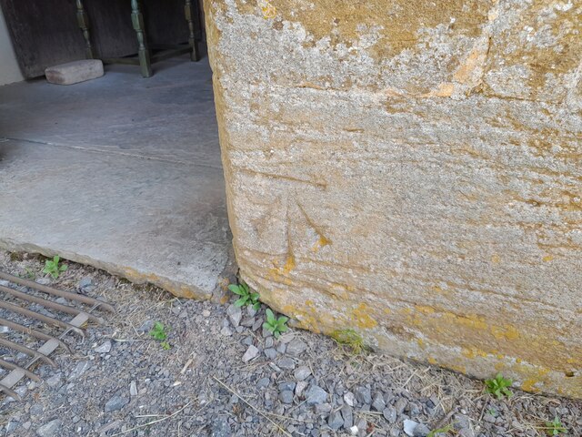
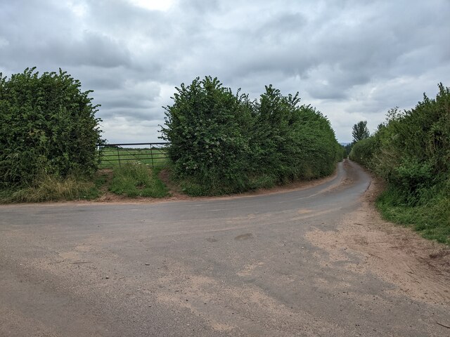
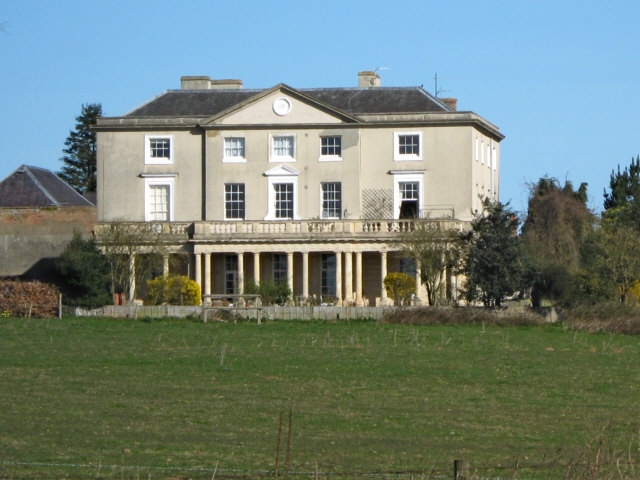
Thurloxton Images

Images are sourced within 2km of 51.062431/-3.035242 or Grid Reference ST2729. Thanks to Geograph Open Source API. All images are credited.

Ordnance Survey Cut Mark This OS cut mark can be found on the porch of St Giles Church. It marks a point 81.292m above mean sea level.
Ordnance Survey Cut Mark
This OS cut mark can be found on the porch of St Giles Church. It marks a point 81.292m above mean sea level.
Looking east down Adder Lane
Thurloxton : Taunton Road A38 The A38 seen at the road junction.
Thurloxton : Taunton Road A38
The A38 seen at the road junction.
Thurloxton : Knotcroft Lane Looking along a small lane through the village.
Thurloxton : Knotcroft Lane
Looking along a small lane through the village.
Thurloxton : Driveway A small driveway into the nearby homes.
Thurloxton : Driveway
A small driveway into the nearby homes.
Thurloxton : Country Lane A small lane heading to the village.
Thurloxton : Country Lane
A small lane heading to the village.
Thurloxton : Grassy Field A field off Howell's Lane.
Thurloxton : Grassy Field
A field off Howell's Lane.
Thurloxton : Howell's Lane Looking along a small country lane.
Thurloxton : Howell's Lane
Looking along a small country lane.
Thurloxton : St Giles Church Entrance gates into the churchyard.
Thurloxton : St Giles Church
Entrance gates into the churchyard.
Thurloxton : St Giles Church The Norman Anglican Church of St Giles in Thurloxton dates from the 14th century but is predominantly from the 15th century with 19th-century restoration including the addition of the north aisle in 1868.
Thurloxton : St Giles Church
The Norman Anglican Church of St Giles in Thurloxton dates from the 14th century but is predominantly from the 15th century with 19th-century restoration including the addition of the north aisle in 1868.
Thurloxton : St Giles Church The two-stage west tower is supported by diagonal buttresses.
Thurloxton : St Giles Church
The two-stage west tower is supported by diagonal buttresses.
Thurloxton : St Giles Church Looking to the Christmas tree in the church grounds.
Thurloxton : St Giles Church
Looking to the Christmas tree in the church grounds.
Thurloxton : St Giles Church The two-stage west tower is supported by diagonal buttresses. The Norman Anglican Church of St Giles in Thurloxton dates from the 14th century but is predominantly from the 15th century with 19th-century restoration including the addition of the north aisle in 1868.
Thurloxton : St Giles Church
The two-stage west tower is supported by diagonal buttresses. The Norman Anglican Church of St Giles in Thurloxton dates from the 14th century but is predominantly from the 15th century with 19th-century restoration including the addition of the north aisle in 1868.
Thurloxton : St Giles Church The church consists of a two-bay nave which has a south porch and three-bay north aisle, and a two-bay chancel with vestry. The interior includes an octagonal Norman font and 18th century rood screen.
Thurloxton : St Giles Church
The church consists of a two-bay nave which has a south porch and three-bay north aisle, and a two-bay chancel with vestry. The interior includes an octagonal Norman font and 18th century rood screen.
Thurloxton : St Giles Church A window dedicated to Queen Elizabeth II and Prince Philip for the Diamond Jubilee.
Thurloxton : St Giles Church
A window dedicated to Queen Elizabeth II and Prince Philip for the Diamond Jubilee.
Thurloxton : St Giles Church A place for some bell ringing.
Thurloxton : St Giles Church
A place for some bell ringing.
Thurloxton : St Giles Church The church consists of a two-bay nave which has a south porch and three-bay north aisle, and a two-bay chancel with vestry. The interior includes an octagonal Norman font and 18th century rood screen.
Thurloxton : St Giles Church
The church consists of a two-bay nave which has a south porch and three-bay north aisle, and a two-bay chancel with vestry. The interior includes an octagonal Norman font and 18th century rood screen.
Show me another place!

Thurloxton is located at Grid Ref: ST2729 (Lat: 51.062431, Lng: -3.035242)

Administrative County: Somerset

District: Sedgemoor

Police Authority: Avon and Somerset

What 3 Words

///swims.copy.tightrope. Near North Petherton, Somerset

Related Wikis

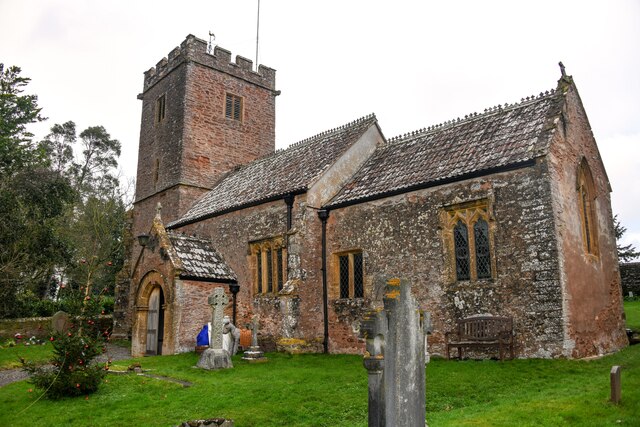
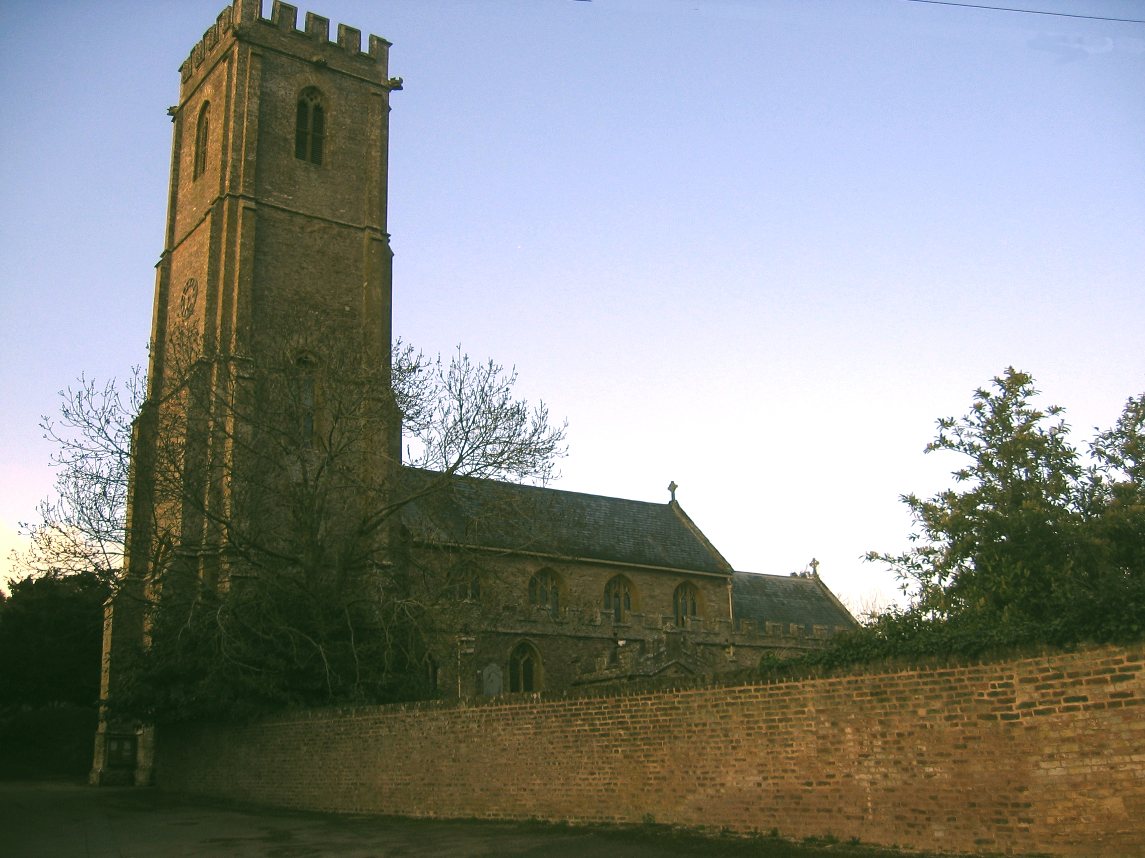
Church of St Giles, Thurloxton

The Norman Anglican Church of St Giles in Thurloxton dates from the 14th century but is predominantly from the 15th century with 19th-century restoration...

Thurloxton

Thurloxton is a village and civil parish 5 miles (8 km) north-east of Taunton, and 5 miles south-west of Bridgwater on the south-eastern slopes of the...

West Monkton

West Monkton is a village and civil parish in Somerset, England, situated 2 miles (3.2 km) north east of Taunton. The parish includes the hamlets of Monkton...

Walford, Somerset

Walford is a small village 3 miles (5 km) north east of Taunton in Somerset, England. Most of the village, including Walford Cross at the junction of...

Nearby Amenities

Located within 500m of 51.062431,-3.035242
Give Way
Direction: forward
Lat/Long: 51.0624984/-3.0351633
Bus Stop
Maypole Inn (NE-bound)
Bus: yes
Network: The Buses of Somerset
Network Wikidata: Q17018973
Network Wikipedia: en:The Buses of Somerset
Operator: First South West
Operator Wikidata: Q5454172
Public Transport: platform
Ref: 21, 21A
Lat/Long: 51.0612858/-3.0327893
Give Way
Direction: backward
Lat/Long: 51.0590314/-3.0365634
Give Way
Direction: forward
Lat/Long: 51.0585047/-3.0352619
Give Way
Direction: forward
Lat/Long: 51.0587098/-3.0352444
Give Way
Direction: forward
Lat/Long: 51.0631359/-3.0308362
Post Box
Check Date Collection Times: 2023-03-23
Collection Times: Mo-Fr 09:00; Sa 07:00
Operator: Royal Mail
Operator Wikidata: Q638098
Post Box Type: wall
Ref: TA2 23D
Royal Cypher: EIIR
Royal Cypher Wikidata: Q33102113
Lat/Long: 51.0625601/-3.0352373
Bus Stop
Maypole Inn (SW-bound)
Bus: yes
Network: The Buses of Somerset
Network Wikidata: Q17018973
Network Wikipedia: en:The Buses of Somerset
Operator: First South West
Operator Wikidata: Q5454172
Public Transport: platform
Ref: 21, 21A
Lat/Long: 51.061241/-3.0326222
Bus: yes
Operator: First South West
Public Transport: stop_position
Ref: 21, 21A
Lat/Long: 51.0612629/-3.0326986
Give Way
Direction: forward
Lat/Long: 51.0638993/-3.0291004
Give Way
Direction: forward
Lat/Long: 51.0639288/-3.0290401
Give Way
Direction: forward
Lat/Long: 51.0622642/-3.0352226
Give Way
Direction: backward
Lat/Long: 51.06241/-3.0349651
Bench
Lat/Long: 51.0622327/-3.0353126
Public Bookcase
Thurloxton Book Exchange
Booth: K6
Disused Amenity: telephone
Man Made: telephone_box
Public Bookcase Type: phone_box
Lat/Long: 51.0622621/-3.0353007
Information: guidepost
Tourism: information
Lat/Long: 51.0623978/-3.0352963
The data included in this document is from www.openstreetmap.org. The data is made available under ODbL.

Have you been to Thurloxton?

Leave your review of Thurloxton below (or comments, questions and feedback).