Thulston
Settlement in Derbyshire South Derbyshire
England
Thulston
Thulston is a small village located in the county of Derbyshire, England. Situated approximately 5 miles south of the city of Derby, Thulston is surrounded by picturesque countryside and is nestled within the Trent Valley.
The village can trace its origins back to Saxon times, with evidence of settlements in the area dating back over a thousand years. Today, Thulston retains much of its historic charm, with several older buildings still standing, including the Grade II listed Thulston Manor, a 17th-century country house.
Despite its small size, Thulston offers a range of amenities for its residents and visitors. The village is home to a local primary school, providing education for children in the area. Additionally, there is a village hall that serves as a community hub, hosting various events and activities throughout the year.
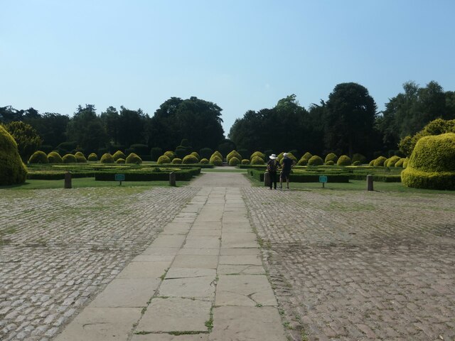
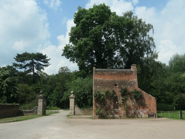
The surrounding countryside provides ample opportunities for outdoor pursuits, such as hiking and cycling. Thulston is also conveniently located near the Trent and Mersey Canal, offering opportunities for boating and fishing enthusiasts. The nearby Elvaston Castle Country Park is a popular attraction, featuring stunning gardens, woodlands, and a Gothic revival castle.
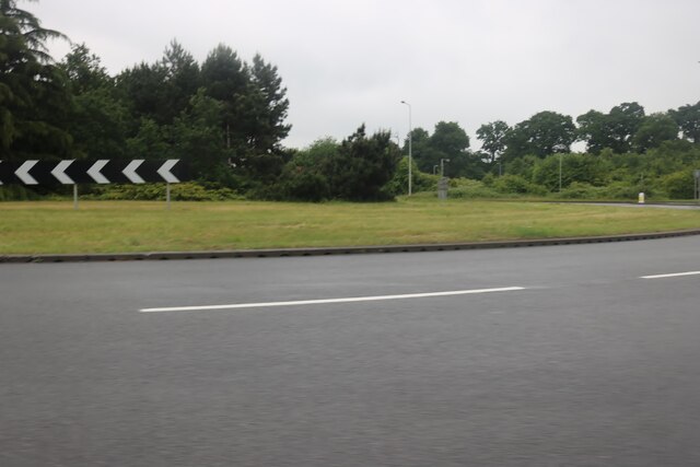
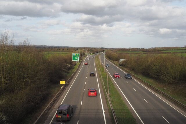
Access to Thulston is primarily by road, with the A6 running nearby, providing links to Derby and other nearby towns. Public transport options are limited, with a few bus services connecting the village to neighboring areas.
In summary, Thulston is a charming village in Derbyshire, offering a tranquil setting, historic buildings, and access to beautiful countryside.
If you have any feedback on the listing, please let us know in the comments section below.
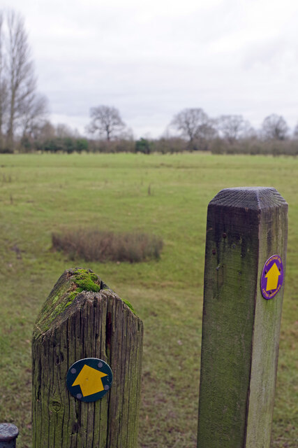
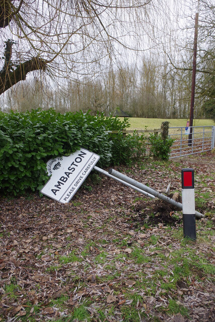
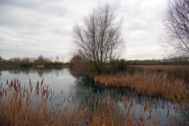
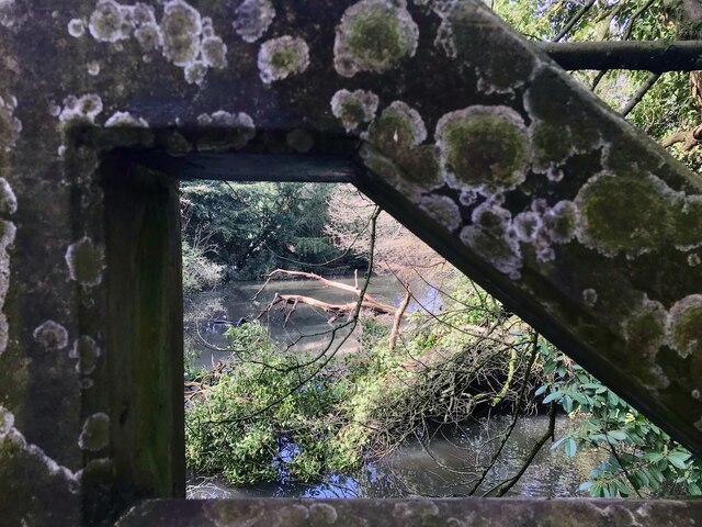
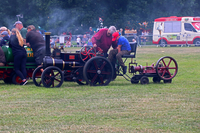
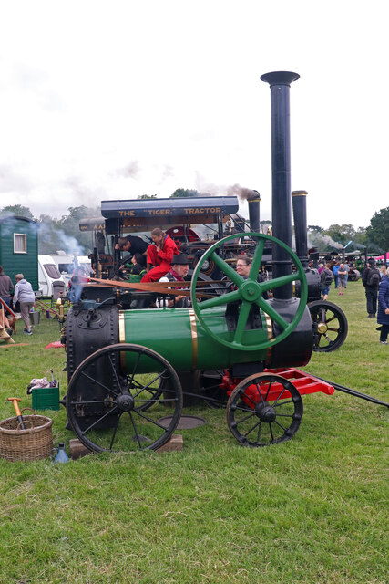
Thulston Images
Images are sourced within 2km of 52.88244/-1.391432 or Grid Reference SK4131. Thanks to Geograph Open Source API. All images are credited.


Thulston is located at Grid Ref: SK4131 (Lat: 52.88244, Lng: -1.391432)
Administrative County: Derbyshire
District: South Derbyshire
Police Authority: Derbyshire
What 3 Words
///wordplay.feuds.refer. Near Aston-on-Trent, Derbyshire
Nearby Locations
Related Wikis

Elvaston, Derbyshire
Elvaston is a small village and civil parish in Derbyshire, England. The parish also includes two hamlets, Ambaston and Thulston, and a modern housing...

South East Derbyshire Rural District
South East Derbyshire was a rural district in Derbyshire, England from 1894 to 1974. It covered an area to the south-east of Derby. It was formed as Shardlow...
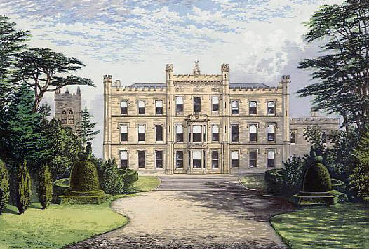
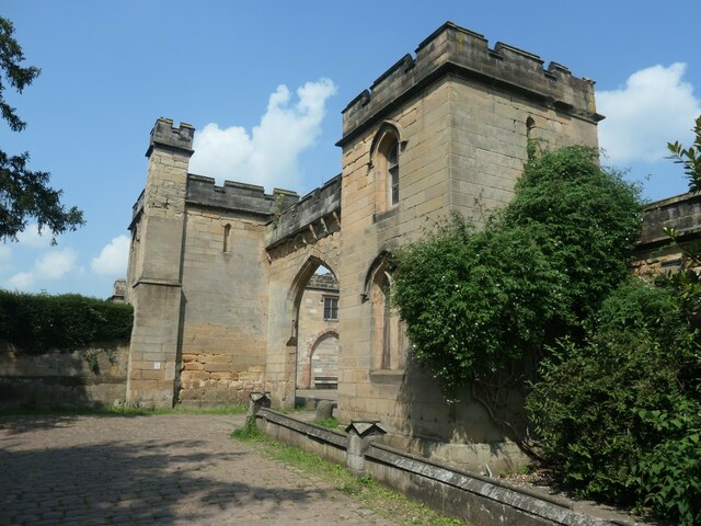
Elvaston Castle
Elvaston Castle is a stately home in Elvaston, Derbyshire, England. The Gothic Revival castle and surrounding parkland is run and owned by Derbyshire County...
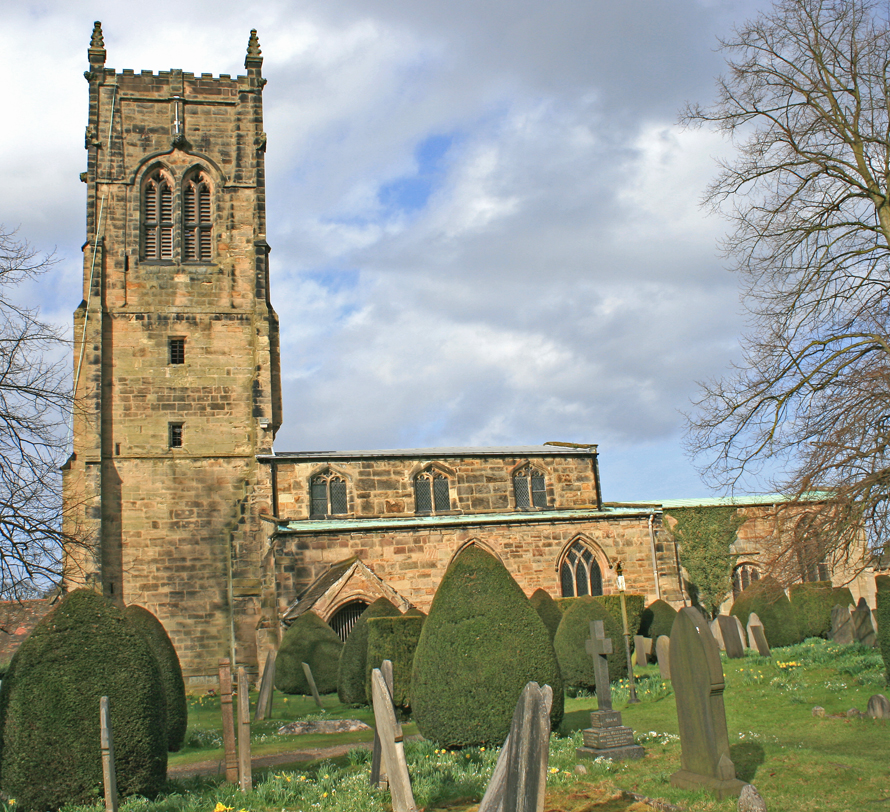
St Bartholomew's Church, Elvaston
St Bartholomew's Church, Elvaston is a Grade I listed parish church in the Church of England in Elvaston, Derbyshire. == History == The church dates from...

Derby South services
The Derby South services are two service stations run by Welcome Break on either side of the A50 road. The services are located in South Derbyshire, near...
Borrowash Hydro
Borrowash Hydro is a hydro-electric power plant built on the River Derwent in Borrowash, Derbyshire. The location is the site of the former Borrowash...

Borrowash railway station
Borrowash railway station was a station at Borrowash in Derbyshire. == History == It was built in 1839 for the Midland Counties Railway, which shortly...

All Saints' Church, Aston-upon-Trent
All Saints’ Church, Aston upon Trent is a Grade I listed parish church in the Church of England in Aston-on-Trent, Derbyshire. == History == The church...
Nearby Amenities
Located within 500m of 52.88244,-1.391432Have you been to Thulston?
Leave your review of Thulston below (or comments, questions and feedback).