Thorneywood
Settlement in Nottinghamshire Gedling
England
Thorneywood

Thorneywood is a residential area located in Nottinghamshire, England. Situated approximately two miles east of Nottingham city center, it falls within the boundaries of the City of Nottingham. Thorneywood is bordered by the neighborhoods of St. Ann's to the north, Sneinton to the west, and Bakersfield to the east.
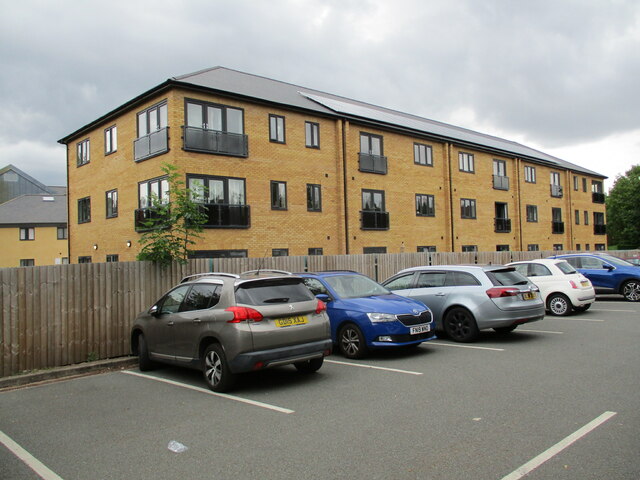
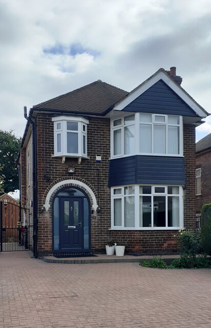
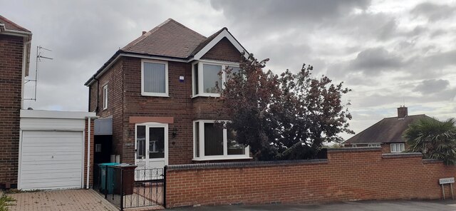
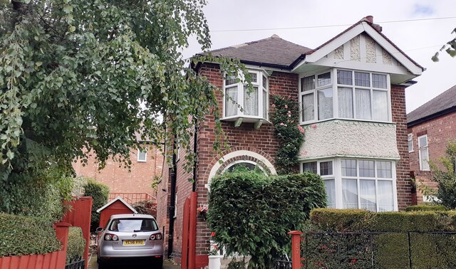
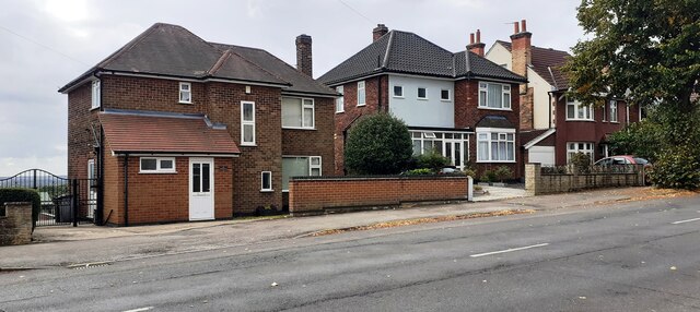
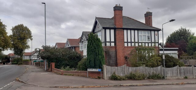
The area is predominantly residential, consisting mainly of terraced houses and some low-rise apartment buildings. Thorneywood offers a mix of private and social housing, catering to a diverse community. It is a popular residential choice for families and professionals due to its close proximity to Nottingham's amenities and transport links.
Thorneywood benefits from its location near several green spaces, including the Victoria Park, which offers recreational facilities such as tennis courts, a bowling green, and a children's play area. Additionally, the nearby Colwick Country Park provides ample opportunities for outdoor activities, including walking, cycling, and fishing.
There are a number of schools in and around Thorneywood, making it an appealing area for families with children. The area also benefits from good transport links, with regular bus services connecting it to Nottingham city center and other nearby areas.
Overall, Thorneywood offers a pleasant residential environment, with easy access to amenities, green spaces, and transport links. Its diverse community and range of housing options make it an attractive place to live for individuals from various backgrounds.
If you have any feedback on the listing, please let us know in the comments section below.
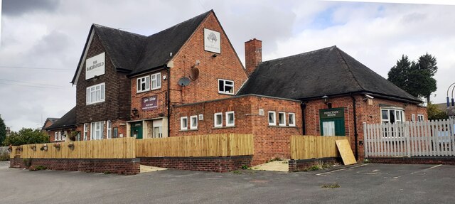
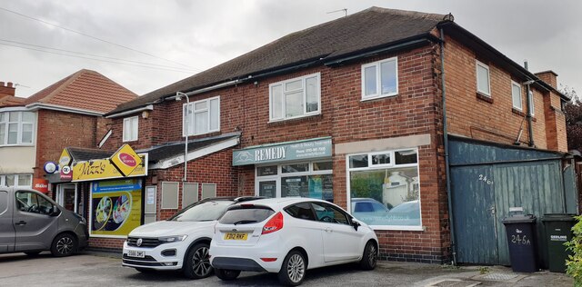
Thorneywood Images
Images are sourced within 2km of 52.973378/-1.113911 or Grid Reference SK5942. Thanks to Geograph Open Source API. All images are credited.


Thorneywood is located at Grid Ref: SK5942 (Lat: 52.973378, Lng: -1.113911)
Administrative County: Nottinghamshire
District: Gedling
Police Authority: Nottinghamshire
What 3 Words
///vouch.filled.fantastic. Near Arnold, Nottinghamshire
Nearby Locations
Related Wikis
St Ann's Well railway station
St Ann's Well railway station was a station serving the suburb of St Ann's in Nottingham, Nottinghamshire. It was located on the Great Northern Railway...

The Carlton Academy
The Carlton Academy is a secondary school in Nottinghamshire, previously known as The Wheldon School and Sports Academy. The school is sponsored by the...
Boulevard United Reformed Church, Nottingham
Boulevard United Reformed Church was built as Hyson Green Congregational Church on Gregory Boulevard in Hyson Green, Nottingham in 1900. == History... ==
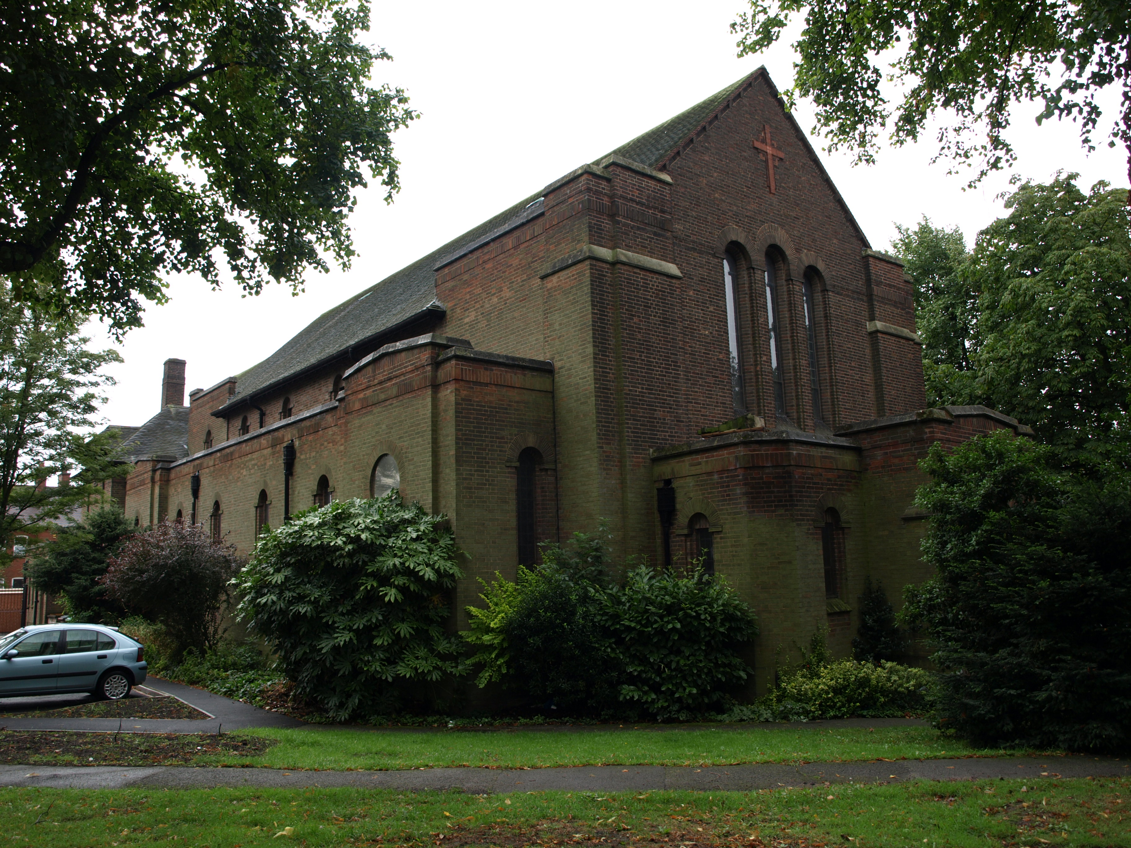
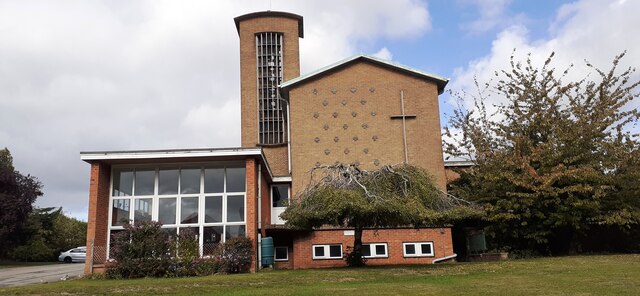
St Cyprian's Church, Sneinton
St Cyprian's Church, Sneinton is a parish church of the Church of England in Sneinton, Nottingham. == History == The church was built in 1935 by the architect...
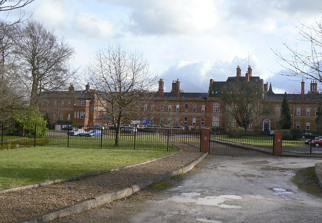
Coppice Hospital
The Coppice Hospital was a mental health facility in Mapperley, Nottingham, England. == History == The hospital, which was designed by Thomas Chambers...
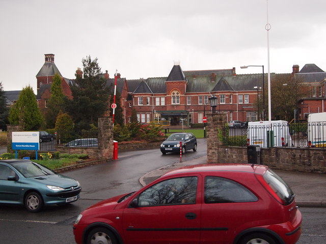
Mapperley Hospital
Mapperley Hospital was a mental health facility on Porchester Road in Nottingham, England. == History == The hospital, which was designed by George Thomas...
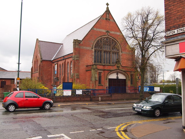
Mapperley Methodist Church
Mapperley Methodist Church is an active Methodist church on Woodborough Road in Mapperley, Nottingham. == History == The building of the church started...

Mapperley
Mapperley is a residential and commercial area of north-eastern Nottingham, England. The area is bounded by Sherwood to the north-west, Thorneywood to...
Nearby Amenities
Located within 500m of 52.973378,-1.113911Have you been to Thorneywood?
Leave your review of Thorneywood below (or comments, questions and feedback).