Porchester
Settlement in Nottinghamshire Gedling
England
Porchester
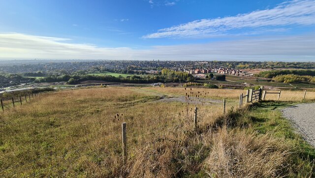
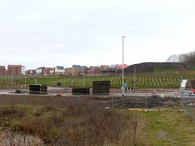
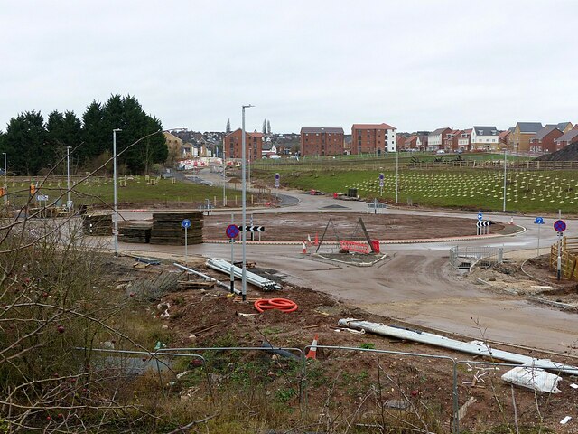
Porchester is a small village located in the county of Nottinghamshire, England. Situated approximately 8 miles north of the city of Nottingham, Porchester falls within the district of Gedling. The village is nestled in a rural setting, surrounded by picturesque countryside and farmland.
With a population of around 500 residents, Porchester offers a peaceful and close-knit community. The village is known for its quaint charm and traditional English architecture, with many of its buildings dating back several centuries. The local church, St. James' Church, is an iconic landmark and a focal point for the community.
Despite its relatively small size, Porchester benefits from a range of amenities. The village has a primary school, providing education for local children, and a village hall that hosts various community events and gatherings. Additionally, there are a few local shops and businesses that cater to the needs of the residents.
Porchester is well-connected to surrounding areas by road, with easy access to Nottingham and other nearby towns. The village is also served by public transportation, allowing residents to commute to neighboring areas for work or leisure activities.
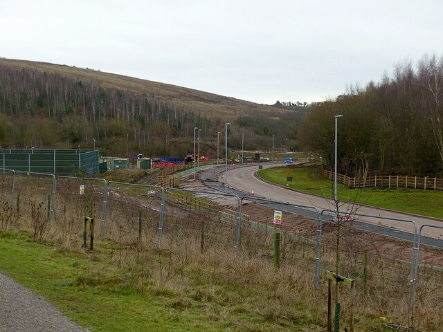
The natural beauty surrounding Porchester makes it an ideal location for outdoor enthusiasts. The village is surrounded by walking trails and offers stunning views of the Nottinghamshire countryside. The nearby River Trent also provides opportunities for boating and fishing.
Overall, Porchester is a charming and tranquil village, offering a peaceful escape from the bustling city life while still maintaining close proximity to urban amenities and attractions.
If you have any feedback on the listing, please let us know in the comments section below.
Porchester Images
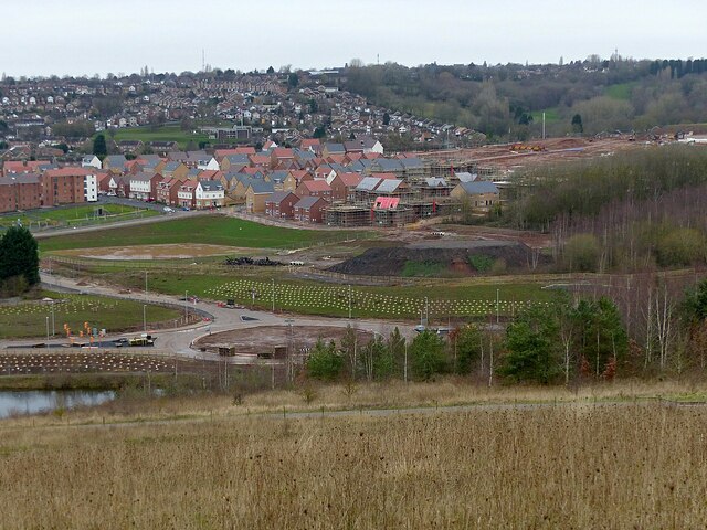
Images are sourced within 2km of 52.980131/-1.115263 or Grid Reference SK5942. Thanks to Geograph Open Source API. All images are credited.


Porchester is located at Grid Ref: SK5942 (Lat: 52.980131, Lng: -1.115263)
Administrative County: Nottinghamshire
District: Gedling
Police Authority: Nottinghamshire
What 3 Words
///comb.reds.horns. Near Arnold, Nottinghamshire
Nearby Locations
Related Wikis

Mapperley
Mapperley is a residential and commercial area of north-eastern Nottingham, England. The area is bounded by Sherwood to the north-west, Thorneywood to...
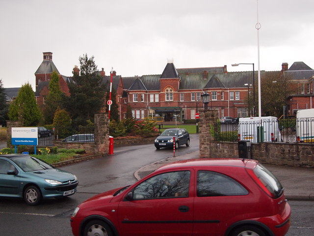
Mapperley Hospital
Mapperley Hospital was a mental health facility on Porchester Road in Nottingham, England. == History == The hospital, which was designed by George Thomas...
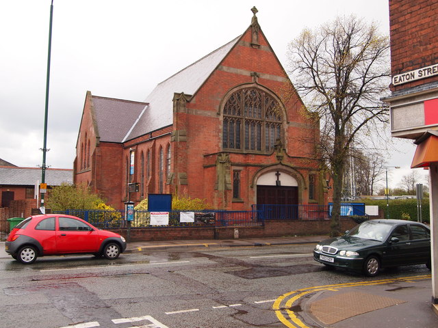
Mapperley Methodist Church
Mapperley Methodist Church is an active Methodist church on Woodborough Road in Mapperley, Nottingham. == History == The building of the church started...

Gedling Miners Welfare F.C.
Gedling Miners Welfare Football Club is a football club based in Gedling, Nottinghamshire, England. They are currently members of the United Counties League...
Nearby Amenities
Located within 500m of 52.980131,-1.115263Have you been to Porchester?
Leave your review of Porchester below (or comments, questions and feedback).