Borehamwood

Settlement in Hertfordshire Hertsmere

England

Borehamwood

Derelict restaurant on Watling Street, Elstree
Derelict restaurant on Watling Street, Elstree Credit: David Howard

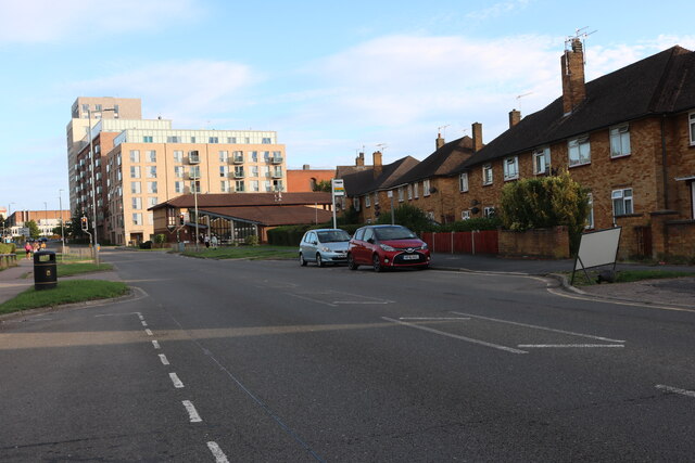
Borehamwood is a town located in the county of Hertfordshire, England. It is situated approximately 12 miles northwest of central London and falls within the London commuter belt. Borehamwood is part of the larger borough of Hertsmere and is bordered by the towns of Elstree, Shenley, and Radlett.

The town has a rich history, with evidence of human settlement in the area dating back to the Stone Age. In more recent times, Borehamwood has become known for its association with the film and television industry. It is home to Elstree Studios, one of the oldest and most prestigious film studios in the United Kingdom. Many iconic films and television shows have been produced here, including the Star Wars and Indiana Jones franchises.

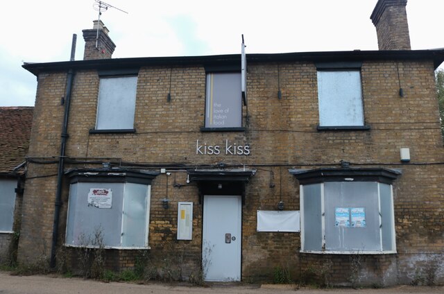
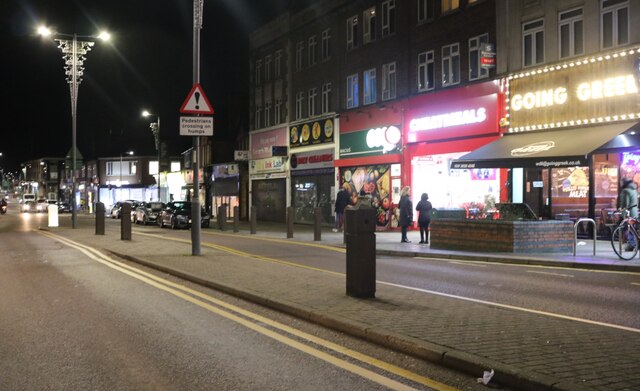
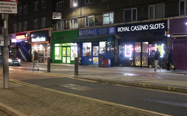
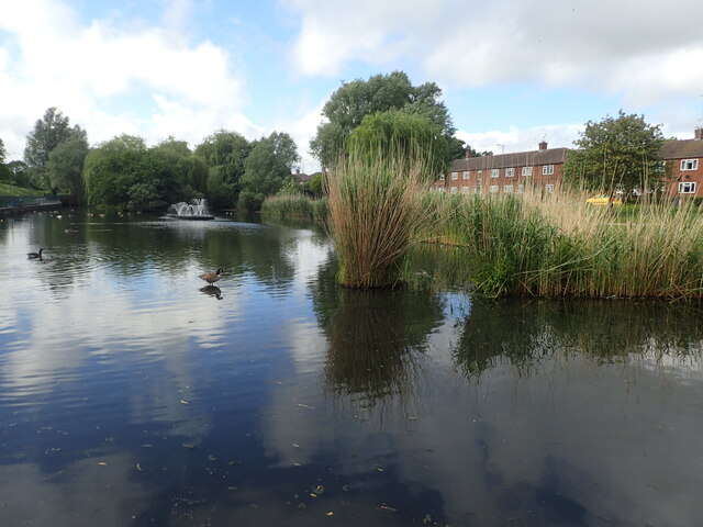
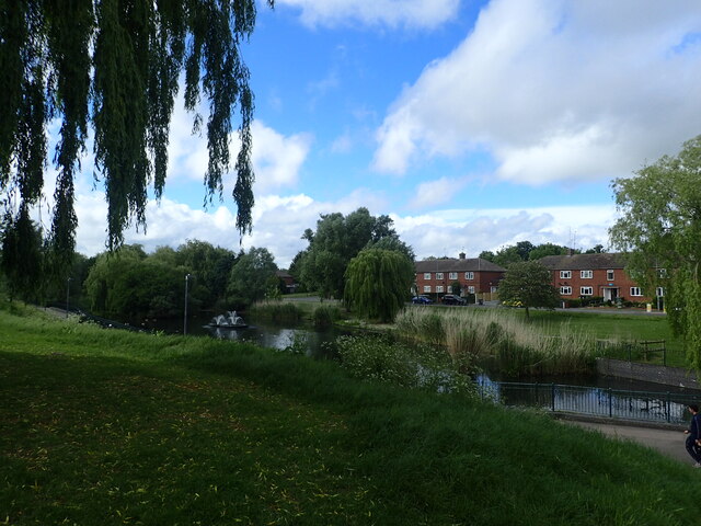
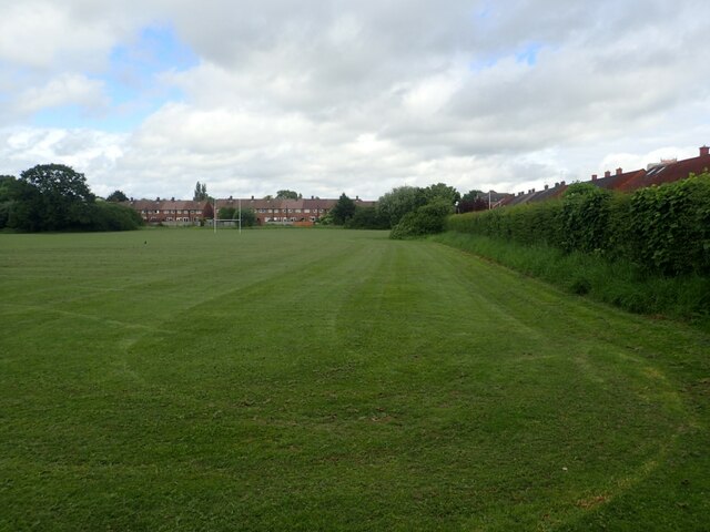
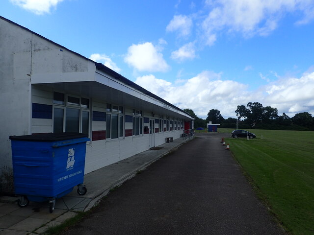
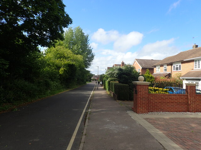
Borehamwood offers a range of amenities and facilities for its residents. The town center is vibrant and bustling, with a mix of shops, restaurants, and entertainment venues. Retail parks and supermarkets provide convenient shopping options, while parks and green spaces offer recreational opportunities for outdoor activities.

Transportation in Borehamwood is well-connected, with the town served by several bus routes and a railway station providing links to London and other nearby towns. The M25 motorway is easily accessible, allowing for convenient travel by car.

Education in Borehamwood is provided by a number of primary and secondary schools, ensuring that children have access to quality education within the local area.

Overall, Borehamwood offers a mix of historical significance, cultural importance, and modern amenities, making it an attractive place to live and visit within Hertfordshire.

If you have any feedback on the listing, please let us know in the comments section below.
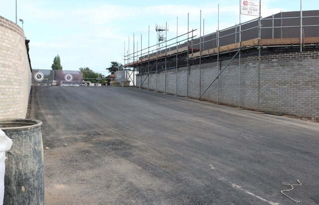
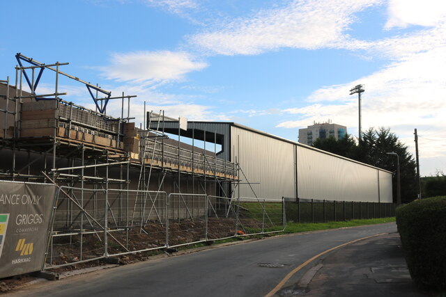
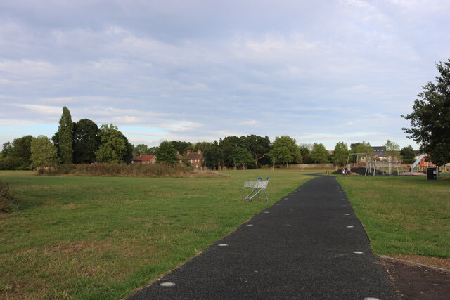
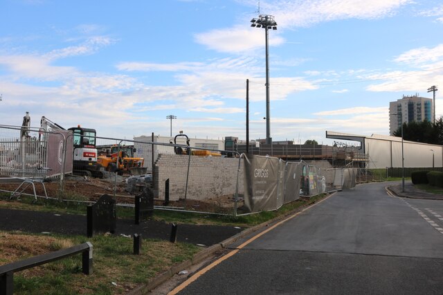
Borehamwood Images

Images are sourced within 2km of 51.656936/-0.289747 or Grid Reference TQ1896. Thanks to Geograph Open Source API. All images are credited.

Derelict restaurant on Watling Street, Elstree
Shenley Road, Borehamwood Heading south the A5 (as was) was closed in Radlett and all traffic was diverted through Borehamwood. I was tempted to pick up a Wimpy as there are very few left now.
Shenley Road, Borehamwood
Heading south the A5 (as was) was closed in Radlett and all traffic was diverted through Borehamwood. I was tempted to pick up a Wimpy as there are very few left now.
Shenley Road, Borehamwood
Lake in Aberford Park Aberford Park was purchased in stages starting in 1888. The lake was formed by the damming of the Borehamwood Brook. On some maps this is known as Tykes Water.

More information can be found at <span class="nowrap"><a title="https://www.greenflagaward.org//park-summary/?park=576" rel="nofollow ugc noopener" href="https://www.greenflagaward.org//park-summary/?park=576">Link</a><img style="margin-left:2px;" alt="External link" title="External link - shift click to open in new window" src="https://s1.geograph.org.uk/img/external.png" width="10" height="10"/></span>  and <span class="nowrap"><a title="https://www.parksherts.co.uk/parks/view/aberford-park" rel="nofollow ugc noopener" href="https://www.parksherts.co.uk/parks/view/aberford-park">Link</a><img style="margin-left:2px;" alt="External link" title="External link - shift click to open in new window" src="https://s1.geograph.org.uk/img/external.png" width="10" height="10"/></span>
Lake in Aberford Park
Aberford Park was purchased in stages starting in 1888. The lake was formed by the damming of the Borehamwood Brook. On some maps this is known as Tykes Water. More information can be found at LinkExternal link and LinkExternal link
Aberford Park Aberford Park was purchased in stages starting in 1888. The lake was formed by the damming of the Borehamwood Brook. On some maps this is known as Tykes Water.

More information can be found at <span class="nowrap"><a title="https://www.greenflagaward.org//park-summary/?park=576" rel="nofollow ugc noopener" href="https://www.greenflagaward.org//park-summary/?park=576">Link</a><img style="margin-left:2px;" alt="External link" title="External link - shift click to open in new window" src="https://s1.geograph.org.uk/img/external.png" width="10" height="10"/></span>  and <span class="nowrap"><a title="https://www.parksherts.co.uk/parks/view/aberford-park" rel="nofollow ugc noopener" href="https://www.parksherts.co.uk/parks/view/aberford-park">Link</a><img style="margin-left:2px;" alt="External link" title="External link - shift click to open in new window" src="https://s1.geograph.org.uk/img/external.png" width="10" height="10"/></span>

See also <a title="https://www.geograph.org.uk/photo/7182331" href="https://www.geograph.org.uk/photo/7182331">Link</a>
Aberford Park
Aberford Park was purchased in stages starting in 1888. The lake was formed by the damming of the Borehamwood Brook. On some maps this is known as Tykes Water. More information can be found at LinkExternal link and LinkExternal link See also Link
Rugby and cricket ground alongside Croxdale Road This is the Old Haberdashers Sports Ground.
Rugby and cricket ground alongside Croxdale Road
This is the Old Haberdashers Sports Ground.
Rugby and cricket ground alongside Croxdale Road This is the Old Haberdashers Sports Ground - see also <a title="https://www.geograph.org.uk/photo/7182342" href="https://www.geograph.org.uk/photo/7182342">Link</a>
Rugby and cricket ground alongside Croxdale Road
This is the Old Haberdashers Sports Ground - see also Link
Theobald Street, Borehamwood The main part of Theobald Street runs parallel to this service road on the other side of the trees on the left
Theobald Street, Borehamwood
The main part of Theobald Street runs parallel to this service road on the other side of the trees on the left
The entrance to Borehamwood FC The ground is currently being rebuilt and this is the road entrance which is not yet in use, the pedestrian entrance runs parallel to the left.
The entrance to Borehamwood FC
The ground is currently being rebuilt and this is the road entrance which is not yet in use, the pedestrian entrance runs parallel to the left.
Meadow Park Stadium, Borehamwood Currently being rebuilt, this is the home of Borehamwood FC.
Meadow Park Stadium, Borehamwood
Currently being rebuilt, this is the home of Borehamwood FC.
Meadow Park, Borehamwood
Construction work at Borehamwood FC The whole stadium is being rebuilt.
Construction work at Borehamwood FC
The whole stadium is being rebuilt.
The pedestrian entrance to Borehamwood FC This is all in the process of construction.
The pedestrian entrance to Borehamwood FC
This is all in the process of construction.
Meadow Park, Borehamwood Looking towards Broughinge Road.
Meadow Park, Borehamwood
Looking towards Broughinge Road.
Liberty Court, Borehamwood
Fairbrook Medical Centre, Borehamwood
Meadow Park car park, Borehamwood
Brook Road, Borehamwood
Show me another place!

Borehamwood is located at Grid Ref: TQ1896 (Lat: 51.656936, Lng: -0.289747)

Administrative County: Hertfordshire

District: Hertsmere

Police Authority: Hertfordshire

What 3 Words

///tribal.head.snacks. Near Borehamwood, Hertfordshire

Related Wikis

Elstree & Borehamwood railway station

Elstree & Borehamwood railway station is a railway station in the town of Borehamwood, Hertfordshire, England. It primarily serves Borehamwood as well...

Gate Studios

Gate Studios was one of the many studios known collectively as Elstree Studios in the town of Borehamwood, England. Opened in 1928, the studios were in...
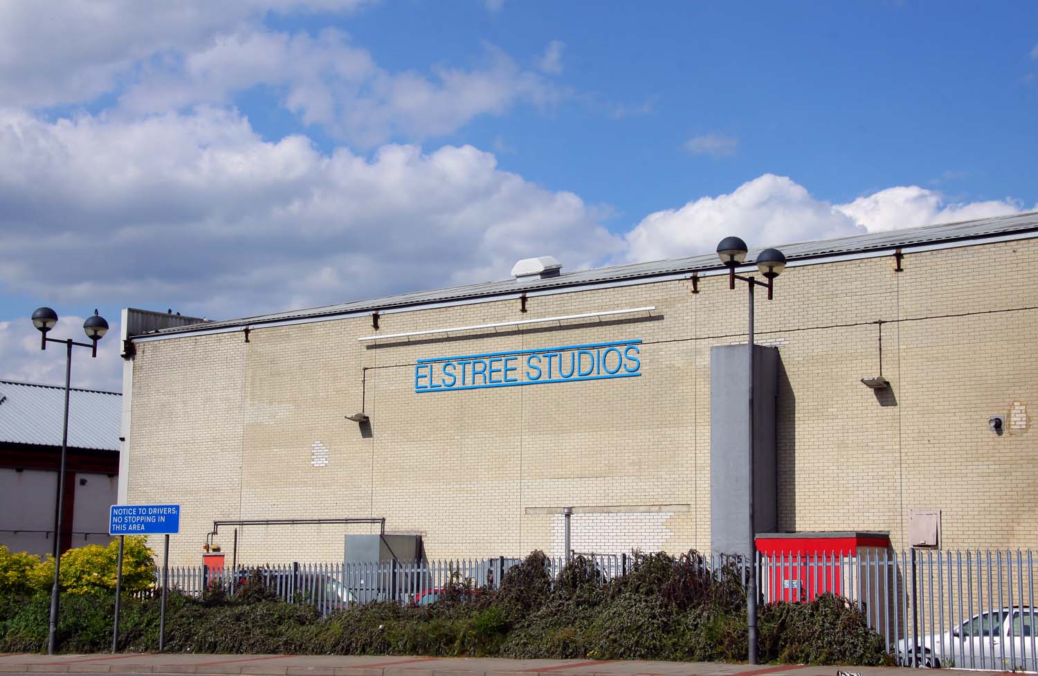
Elstree Studios

Elstree Studios is a generic term which can refer to several current and demolished British film studios and television studios based in or around the...

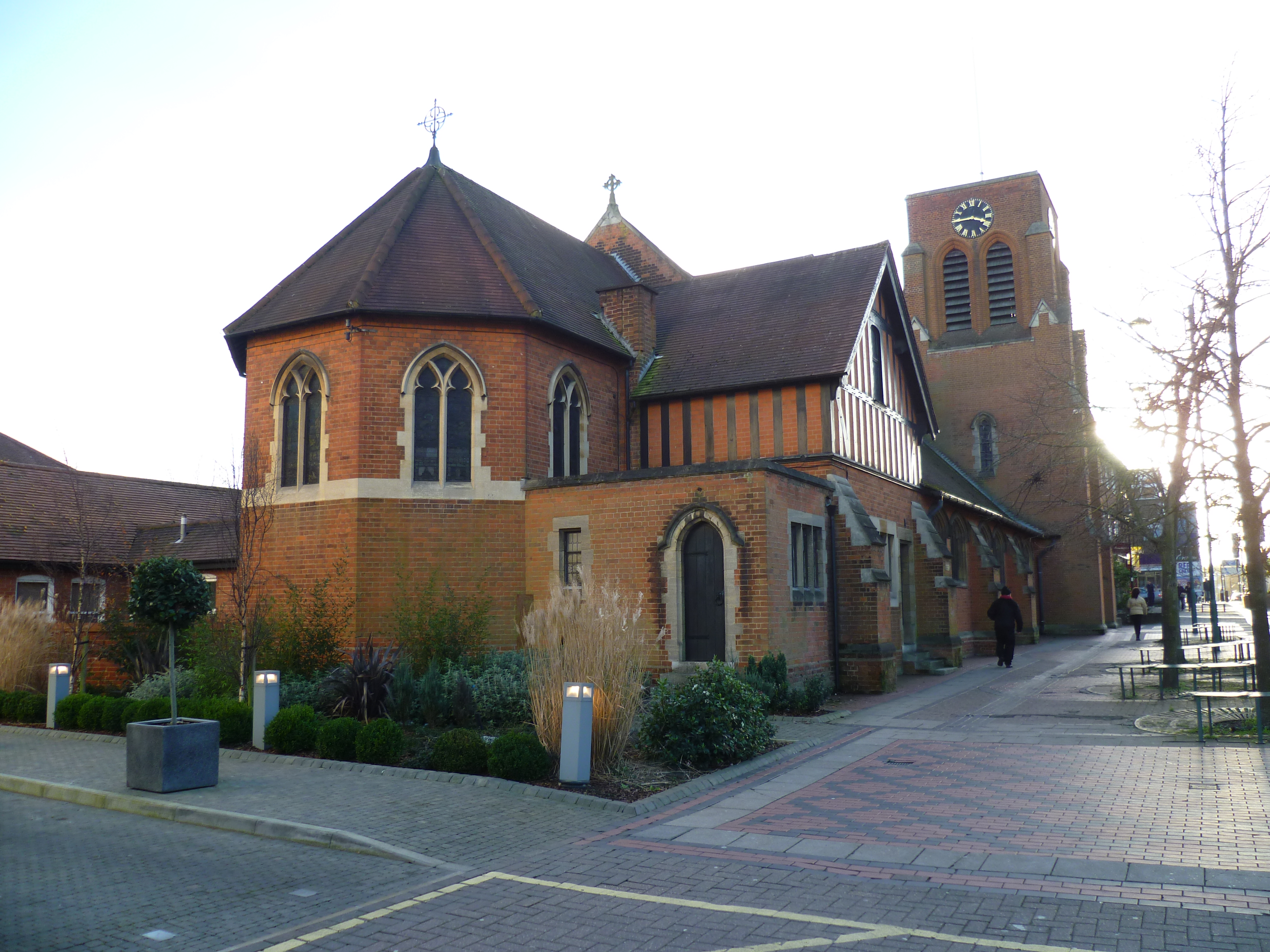
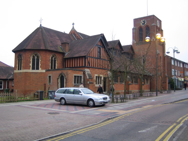
All Saints church, Borehamwood

All Saints church is a Church of England church in Shenley Road, Borehamwood. It is in the parish of Elstree and Borehamwood. The church is built in the...

BBC Elstree Centre

The BBC Elstree Centre, sometimes referred to as the BBC Elstree Studios, is a television production facility, currently owned by the BBC. The complex...

Borehamwood

Borehamwood (, historically also Boreham Wood) is a town in southern Hertfordshire, England, 12 miles (19 km) from Charing Cross. Borehamwood has a population...

Elstree and Borehamwood

Elstree and Borehamwood is a civil parish in the Hertsmere district, in Hertfordshire, England. Located approximately 12 miles (19 km) northwest of central...
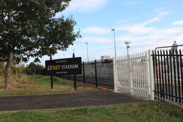
Boreham Wood F.C.

Boreham Wood Football Club is a professional football club based in Borehamwood, Hertfordshire, England. They are currently members of the National League...

Nearby Amenities

Located within 500m of 51.656936,-0.289747
Bench
Lat/Long: 51.6533757/-0.2876695
Location Transition: yes
Power: pole
Lat/Long: 51.6574665/-0.2857532
Power: pole
Lat/Long: 51.6582861/-0.2866155
Power: pole
Lat/Long: 51.6591313/-0.2875677
Power: pole
Lat/Long: 51.6599749/-0.2885118
Power: pole
Lat/Long: 51.6608384/-0.289413
Material: wood
Power: pole
Lat/Long: 51.661266/-0.2901104
Power: pole
Lat/Long: 51.6607702/-0.2896544
Power: pole
Lat/Long: 51.6599233/-0.2887291
Power: pole
Lat/Long: 51.6590781/-0.2877608
Power: pole
Lat/Long: 51.6582195/-0.2868059
Location Transition: yes
Power: pole
Lat/Long: 51.6573975/-0.2859409
Direction: 160
Generator Method: photovoltaic
Generator Output Electricity: yes
Generator Solar Modules: 18
Generator Source: solar
Generator Type: solar_photovoltaic_panel
Location: roof
Power: generator
Lat/Long: 51.6535985/-0.286336
Direction: 165
Generator Method: photovoltaic
Generator Output Electricity: yes
Generator Solar Modules: 16
Generator Source: solar
Generator Type: solar_photovoltaic_panel
Location: roof
Power: generator
Lat/Long: 51.654187/-0.2866265
Direction: 150
Generator Method: photovoltaic
Generator Output Electricity: yes
Generator Solar Modules: 9
Generator Source: solar
Generator Type: solar_photovoltaic_panel
Location: roof
Power: generator
Lat/Long: 51.6557484/-0.2872127
Fixme: solar panels?
Lat/Long: 51.655607/-0.2864689
Direction: 185
Generator Method: photovoltaic
Generator Output Electricity: yes
Generator Solar Modules: 42
Generator Source: solar
Generator Type: solar_photovoltaic_panel
Location: roof
Power: generator
Lat/Long: 51.6542051/-0.2849246
Direction: 160
Generator Method: photovoltaic
Generator Output Electricity: yes
Generator Solar Modules: 20
Generator Source: solar
Generator Type: solar_photovoltaic_panel
Location: roof
Power: generator
Lat/Long: 51.6601676/-0.2848341
Direction: 160
Generator Method: photovoltaic
Generator Output Electricity: yes
Generator Solar Modules: 21
Generator Source: solar
Generator Type: solar_photovoltaic_panel
Location: roof
Power: generator
Lat/Long: 51.6600749/-0.2848039
Traffic Calming: island
Lat/Long: 51.6593814/-0.2838807
Crossing
Crossing: unmarked
Crossing Island: no
Tactile Paving: no
Lat/Long: 51.6549854/-0.2850173
Barrier: kerb
Kerb: lowered
Tactile Paving: no
Lat/Long: 51.6559775/-0.2857428
Crossing
Crossing: unmarked
Crossing Island: no
Tactile Paving: no
Lat/Long: 51.6559971/-0.2856871
The data included in this document is from www.openstreetmap.org. The data is made available under ODbL.

Have you been to Borehamwood?

Leave your review of Borehamwood below (or comments, questions and feedback).