Rowe, The
Settlement in Staffordshire Stafford
England
Rowe, The

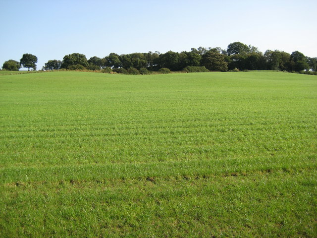
Rowe, The, Staffordshire is a small village located in the county of Staffordshire, England. It is situated in the West Midlands region, approximately 4 miles north of the town of Stafford. The village is surrounded by picturesque countryside, with rolling green fields and wooded areas.
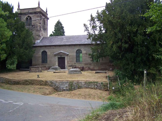
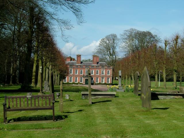
Rowe, The, Staffordshire is known for its rich history, dating back to medieval times. The village is home to several historic buildings, including St. Mary's Church, which dates back to the 13th century. The church is a beautiful example of Gothic architecture and contains several notable features, such as stained glass windows and a medieval font.
The village is also renowned for its traditional English pubs, where visitors can enjoy a pint of local ale and sample traditional British cuisine. The friendly atmosphere and warm hospitality of the locals make these pubs a popular spot for both residents and tourists.
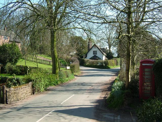
Rowe, The, Staffordshire is well-connected to neighboring towns and cities, with easy access to major road networks. The nearby town of Stafford offers a range of amenities, including shopping centers, supermarkets, and leisure facilities.
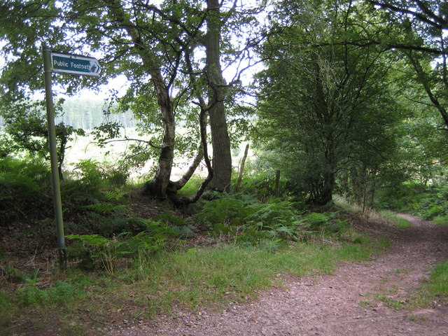
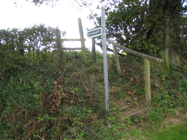
The village is surrounded by natural beauty, making it an ideal destination for outdoor enthusiasts. There are several walking and cycling trails in the area, allowing visitors to explore the stunning countryside and enjoy the tranquility of rural life.
Overall, Rowe, The, Staffordshire is a charming village with a rich history, beautiful scenery, and a warm community spirit. It offers a peaceful retreat for those seeking a break from the hustle and bustle of city life.
If you have any feedback on the listing, please let us know in the comments section below.
Rowe, The Images
Images are sourced within 2km of 52.940867/-2.269302 or Grid Reference SJ8238. Thanks to Geograph Open Source API. All images are credited.


Rowe, The is located at Grid Ref: SJ8238 (Lat: 52.940867, Lng: -2.269302)
Administrative County: Staffordshire
District: Stafford
Police Authority: Staffordshire
What 3 Words
///limits.rosette.progress. Near Standon, Staffordshire
Nearby Locations
Related Wikis

Coombesdale
Coombesdale is a small settlement in Staffordshire, England. It is near the A51 road and is 6 kilometres (4 mi) southwest of the city of Stoke-on-Trent...
Whitmore, Staffordshire
Whitmore is a village and small curacy in the county of Staffordshire, England, near Newcastle-under-Lyme. The name Whitmore can be found in the Domesday...

Maer Hall
Maer Hall is a large Grade II listed 17th-century country house in Maer, Staffordshire, set in a park which is listed Grade II in Historic England's Register...
Standon Bridge railway station
Standon Bridge railway station was a railway station in Standon, approximately 4 miles (6.4 km) west of Stone, Staffordshire. The station closed on 4 February...

Acton, Staffordshire
Acton is a hamlet in the Borough of Newcastle-under-Lyme, Staffordshire. It lies four miles south west of Newcastle close to the junction of the A53 and...
Whitmore Hall
Whitmore Hall is the home of the Cavenagh-Mainwaring family at Whitmore, Staffordshire. A Grade I listed building, the hall was designated a house of...

Standon, Staffordshire
Standon is a village and civil parish in the Stafford district, in the county of Staffordshire, England. Standon has a church called Church of All Saints...
Maer, Staffordshire
Maer is a rural village and civil parish in the Borough of Newcastle-under-Lyme, Staffordshire, England, to the west of the pottery manufacturing town...
Have you been to Rowe, The?
Leave your review of Rowe, The below (or comments, questions and feedback).