Hatton Common
Wood, Forest in Staffordshire Stafford
England
Hatton Common

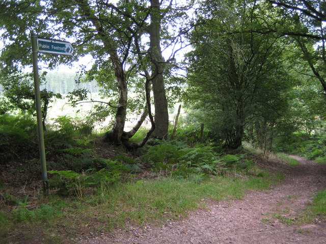
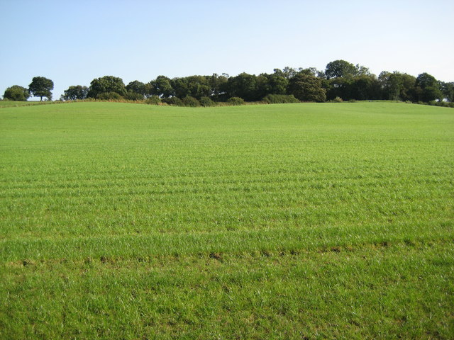
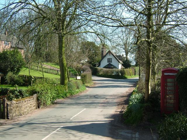
Hatton Common is a picturesque woodland area located in the county of Staffordshire, England. Nestled within the heart of the county, it is known for its stunning natural beauty and serene atmosphere. The common is situated near the village of Hatton, and covers a vast area of lush greenery and mature trees.
The woodland in Hatton Common is predominantly made up of deciduous trees such as oak, beech, and birch, which create a stunning canopy of foliage during the summer months. The forest floor is covered in a rich carpet of moss, wildflowers, and ferns, giving the area a tranquil and magical feel.
The common is home to a diverse range of wildlife, including various species of birds, squirrels, foxes, and rabbits. It provides a safe haven for these animals, allowing them to thrive in their natural habitat. Birdwatchers will be particularly delighted by the abundance of different bird species that can be spotted in the area.
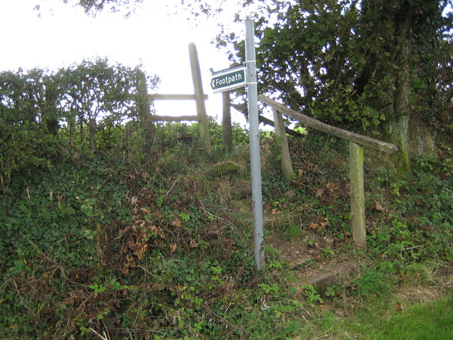
For nature lovers and outdoor enthusiasts, Hatton Common provides a variety of recreational opportunities. There are numerous walking trails that wind through the woodland, allowing visitors to explore the area and enjoy its natural wonders. The dense forest also provides a sheltered environment for camping and picnicking, making it a popular destination for families and nature enthusiasts alike.
Overall, Hatton Common in Staffordshire is a true gem of natural beauty. Its enchanting woodland, diverse wildlife, and peaceful ambiance make it a must-visit destination for anyone seeking a peaceful escape into nature.
If you have any feedback on the listing, please let us know in the comments section below.
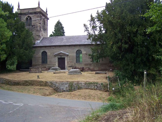
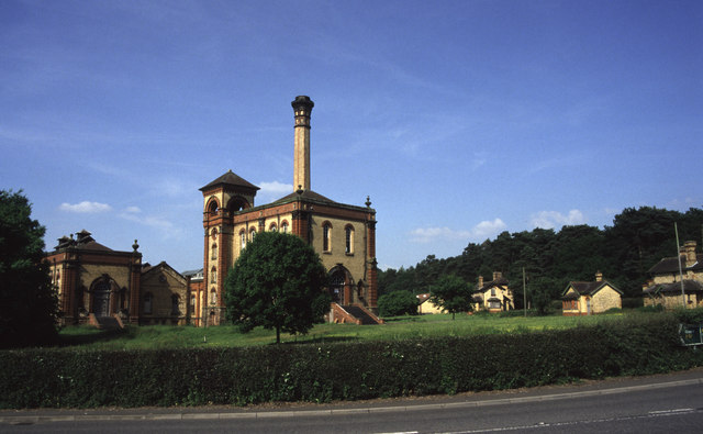
Hatton Common Images
Images are sourced within 2km of 52.940864/-2.2590356 or Grid Reference SJ8238. Thanks to Geograph Open Source API. All images are credited.


Hatton Common is located at Grid Ref: SJ8238 (Lat: 52.940864, Lng: -2.2590356)
Administrative County: Staffordshire
District: Stafford
Police Authority: Staffordshire
What 3 Words
///hiking.lifestyle.drumbeat. Near Standon, Staffordshire
Nearby Locations
Related Wikis

Coombesdale
Coombesdale is a small settlement in Staffordshire, England. It is near the A51 road and is 6 kilometres (4 mi) southwest of the city of Stoke-on-Trent...
Beechcliff
Beechcliff is a village in Staffordshire, England. For population details at the 2011 census see Swynnerton
Standon Bridge railway station
Standon Bridge railway station was a railway station in Standon, approximately 4 miles (6.4 km) west of Stone, Staffordshire. The station closed on 4 February...
Whitmore, Staffordshire
Whitmore is a village and small curacy in the county of Staffordshire, England, near Newcastle-under-Lyme. The name Whitmore can be found in the Domesday...

Acton, Staffordshire
Acton is a hamlet in the Borough of Newcastle-under-Lyme, Staffordshire. It lies four miles south west of Newcastle close to the junction of the A53 and...

Standon, Staffordshire
Standon is a village and civil parish in the Stafford district, in the county of Staffordshire, England. Standon has a church called Church of All Saints...
Whitmore Hall
Whitmore Hall is the home of the Cavenagh-Mainwaring family at Whitmore, Staffordshire. A Grade I listed building, the hall was designated a house of...

Maer Hall
Maer Hall is a large Grade II listed 17th-century country house in Maer, Staffordshire, set in a park which is listed Grade II in Historic England's Register...
Have you been to Hatton Common?
Leave your review of Hatton Common below (or comments, questions and feedback).