Rookery, The
Settlement in Hertfordshire Three Rivers
England
Rookery, The
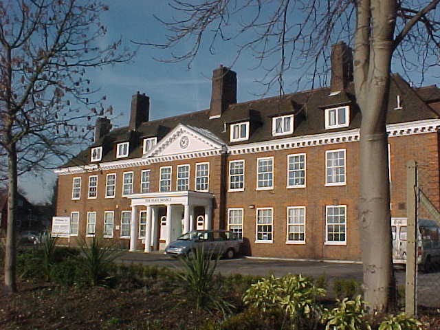
The Rookery is a picturesque village located in Hertfordshire, England. Situated amidst the rolling countryside, this charming settlement offers a tranquil and idyllic atmosphere for its residents and visitors alike. The village is nestled within a verdant landscape, adorned with lush green fields, meandering rivers, and scenic woodlands, making it an ideal destination for nature enthusiasts.
The Rookery boasts a rich history that can be traced back several centuries. The village is known for its well-preserved medieval architecture, with quaint thatched-roof cottages and rustic timber-framed buildings dotting the streets. The historic St. Mary's Church, dating back to the 12th century, stands as a testament to the village's heritage.
Despite its small size, The Rookery offers a range of amenities for its inhabitants. The village is home to a cozy local pub, the Rookery Arms, where locals and visitors can enjoy a pint of ale or indulge in traditional English cuisine. Additionally, a community center serves as a hub for various social and recreational activities, fostering a sense of camaraderie among the villagers.
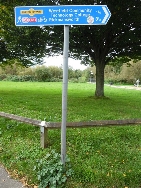
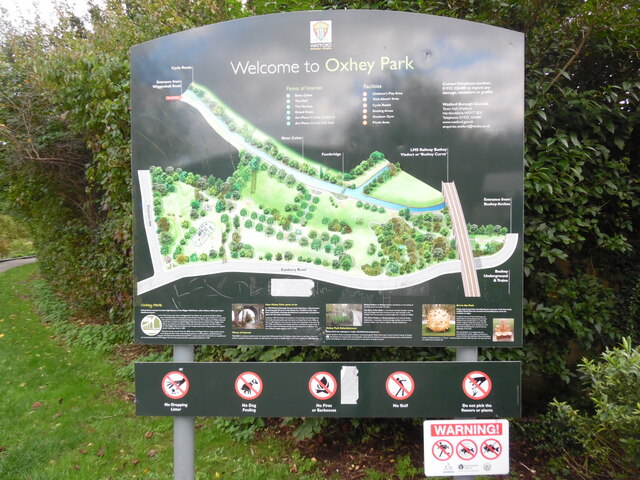
The natural beauty surrounding The Rookery provides ample opportunities for outdoor pursuits. Residents can explore the numerous walking trails that weave through the countryside, offering breathtaking views of the surrounding landscapes. The village is also in proximity to several nature reserves and parks, offering opportunities for birdwatching, picnicking, and peaceful retreats.
Overall, The Rookery is a quintessential English village that charms visitors with its scenic beauty, rich history, and warm community spirit. It is a haven for those seeking a peaceful retreat from the bustle of city life, offering a slice of rural paradise in Hertfordshire.
If you have any feedback on the listing, please let us know in the comments section below.
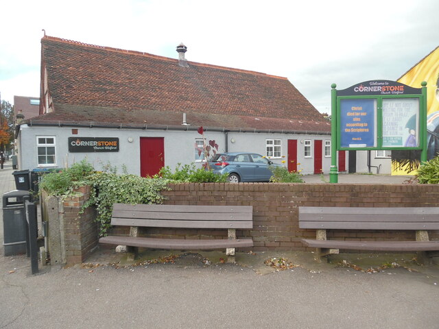
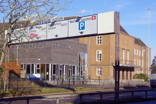
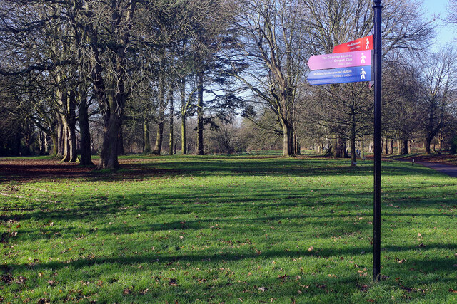
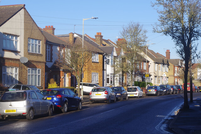
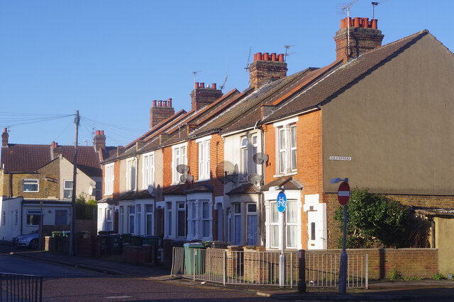
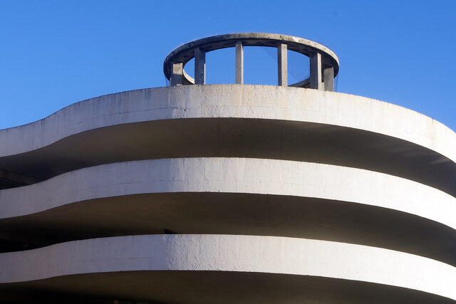
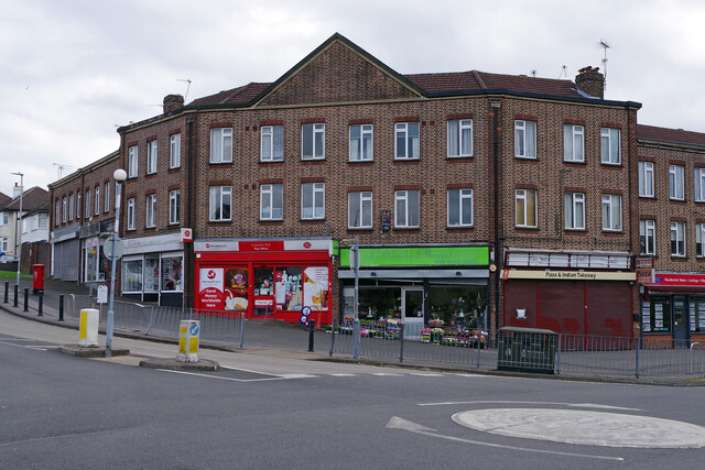
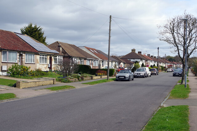
Rookery, The Images
Images are sourced within 2km of 51.643805/-0.39568085 or Grid Reference TQ1195. Thanks to Geograph Open Source API. All images are credited.


Rookery, The is located at Grid Ref: TQ1195 (Lat: 51.643805, Lng: -0.39568085)
Administrative County: Hertfordshire
District: Three Rivers
Police Authority: Hertfordshire
What 3 Words
///pocket.bonds.cook. Near Watford, Hertfordshire
Nearby Locations
Related Wikis

Croxley Green Light Maintenance Depot
Croxley Green Light Maintenance Depot was a traction maintenance depot located in Croxley, Watford, England that provided storage and light maintenance...
Watford Power Station
Watford Power Station was a coal-fired power station situated in Watford's Riverside area. The station was built by the Watford Corporation Electricity...

The Lairage Land
The Lairage Land is a 4.4 hectare Local Nature Reserve in Watford in Hertfordshire. It is owned and managed by Watford Borough Council.The site is mainly...

Bushey railway station
Bushey is a railway station in Hertfordshire which serves Bushey and Oxhey. It is situated on the West Coast Main Line, 5 miles (8 km) north of Harrow...
Colney Butts
Colney Butts is the former name of an area of Watford, Hertfordshire, England, around Vicarage Road and the cemetery. == References ==

Watford (UK Parliament constituency)
Watford is a constituency represented in the House of Commons of the UK Parliament since 2019 by Conservative Party MP Dean Russell. == Constituency... ==
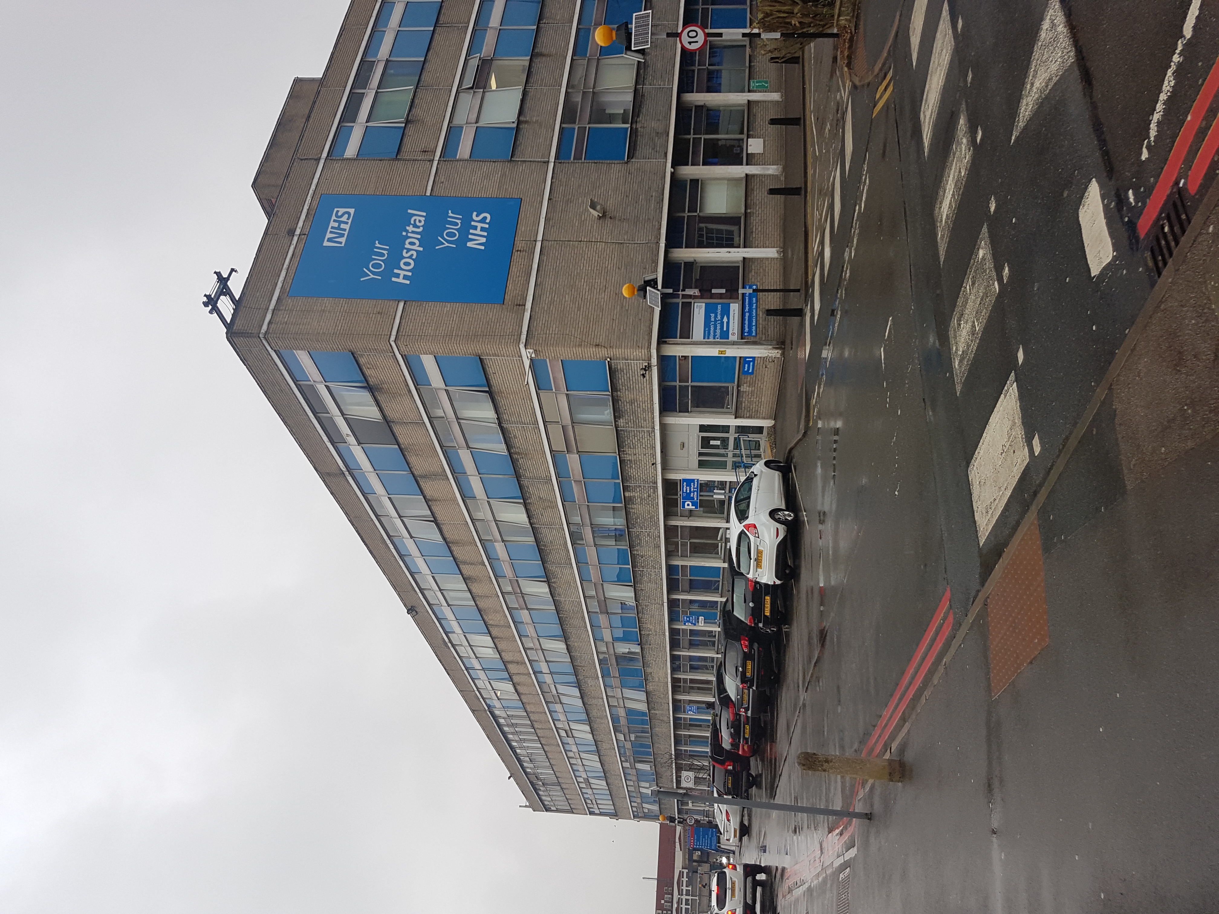
Watford General Hospital
Watford General Hospital is a 521-bed acute District General Hospital situated on Vicarage Road, Watford, Hertfordshire. Together with Hemel Hempstead...

Vicarage Road
Vicarage Road is a stadium in Watford, England, and is the home stadium of Championship club Watford. An all-seater stadium, its current capacity is 22...
Nearby Amenities
Located within 500m of 51.643805,-0.39568085Have you been to Rookery, The?
Leave your review of Rookery, The below (or comments, questions and feedback).