Murray, The
Settlement in Lanarkshire
Scotland
Murray, The
Murray is a small town located in the county of Lanarkshire, Scotland. It is positioned approximately 12 miles southeast of the city of Glasgow and lies within the council area of South Lanarkshire. The town is nestled in the scenic Clyde Valley, surrounded by rolling hills and picturesque landscapes.
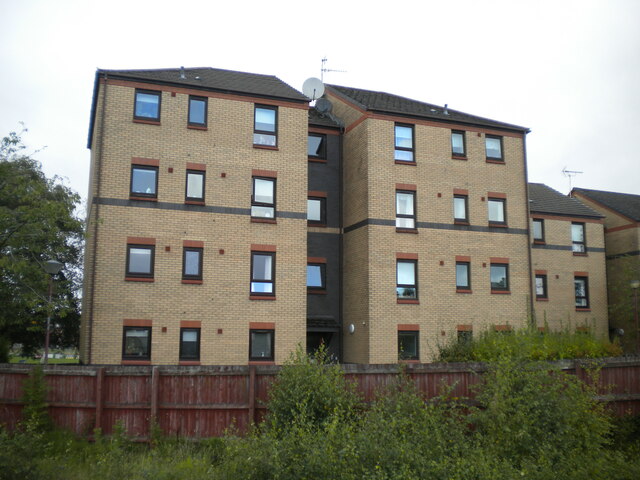
Murray has a rich history dating back to the medieval times when it was primarily an agricultural settlement. Over the years, it has evolved into a vibrant community with a mix of residential, commercial, and industrial areas. The town boasts a range of amenities and services, including shops, restaurants, schools, and leisure facilities, making it an attractive place for families and individuals alike.
One of the notable landmarks in Murray is the Murray Parish Church, a historic building that dates back to the 18th century. The church serves as a focal point for the local community and holds regular services and events throughout the year.
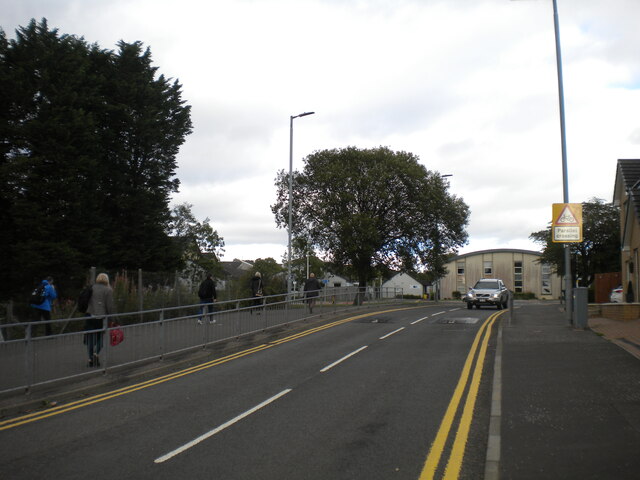
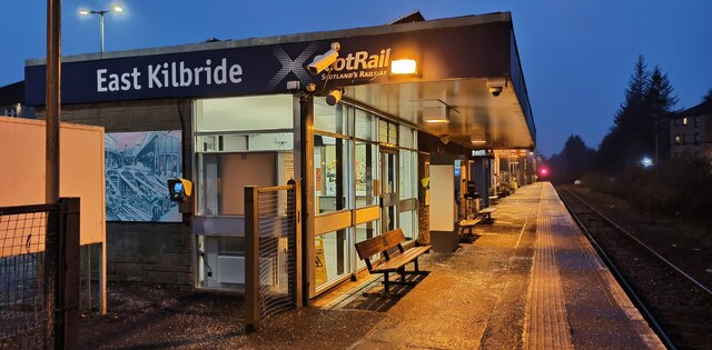
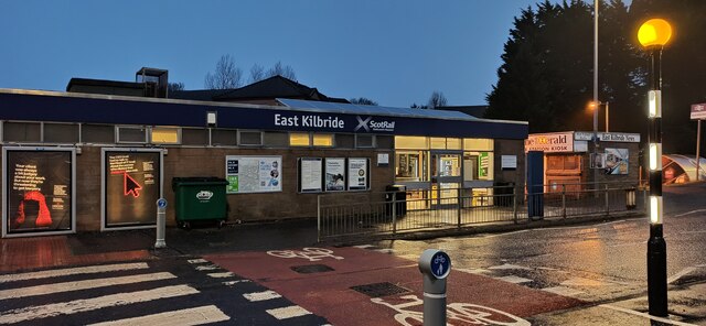
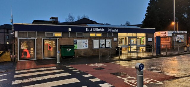
The town is well-connected to neighboring areas and major cities by road and public transportation. It has a reliable bus network, providing easy access to Glasgow and other nearby towns. Additionally, the M74 motorway is within close proximity, offering convenient travel options for commuters.
Murray is also known for its beautiful countryside, offering numerous opportunities for outdoor activities such as hiking, cycling, and fishing. The nearby Clyde Valley provides stunning views, with the River Clyde running through the area, making it a popular spot for nature enthusiasts.
Overall, Murray, The, Lanarkshire is a charming town that combines a rich history with modern amenities, making it an appealing place to live, work, and visit.
If you have any feedback on the listing, please let us know in the comments section below.
Murray, The Images
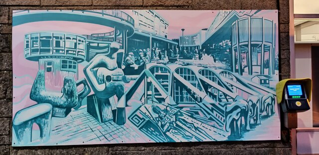
Images are sourced within 2km of 55.752672/-4.1823514 or Grid Reference NS6353. Thanks to Geograph Open Source API. All images are credited.


Murray, The is located at Grid Ref: NS6353 (Lat: 55.752672, Lng: -4.1823514)
Unitary Authority: South Lanarkshire
Police Authority: Lanarkshire
What 3 Words
///grab.input.softly. Near East Kilbride, South Lanarkshire
Nearby Locations
Related Wikis

The Murray, East Kilbride
The Murray is a residential area in the new town of East Kilbride, in South Lanarkshire, Scotland; it lies immediately to the south-west of the town centre...
Greenhills, East Kilbride
Greenhills is an area within the Scottish new town of East Kilbride, South Lanarkshire in Greater Glasgow. Greenhills is a residential area on the south...
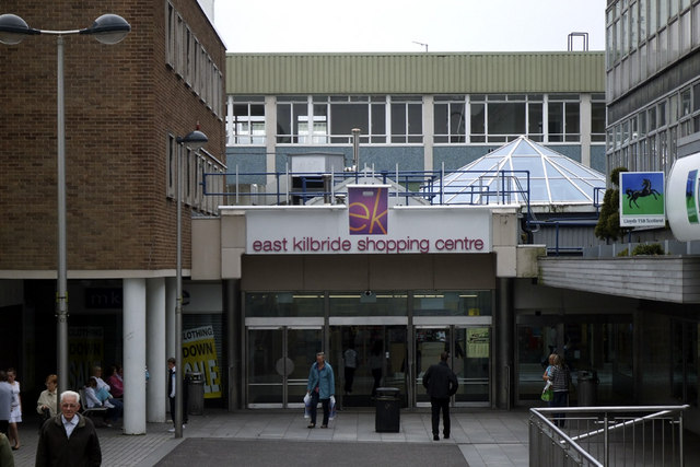
East Kilbride Shopping Centre
EK, East Kilbride (previously East Kilbride Shopping Centre) is located in the town centre of East Kilbride and is Scotland's biggest undercover shopping...
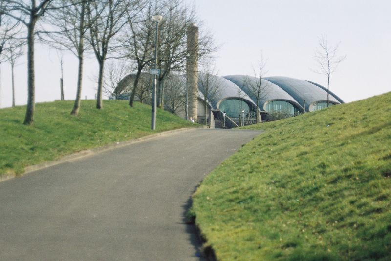
Dollan Aqua Centre
Dollan Aqua Centre (previously known as Dollan Baths) is a 20th-century category A listed building in East Kilbride, Scotland. == Design == Designed by...
Nearby Amenities
Located within 500m of 55.752672,-4.1823514Have you been to Murray, The?
Leave your review of Murray, The below (or comments, questions and feedback).