The Leigh

Settlement in Gloucestershire Tewkesbury

England

The Leigh

Cottage at The Leigh The Leigh is a quiet backwater just off the A38.
Cottage at The Leigh Credit: Jonathan Billinger

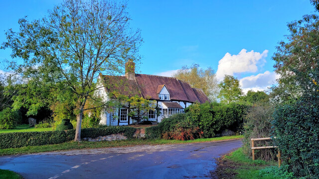
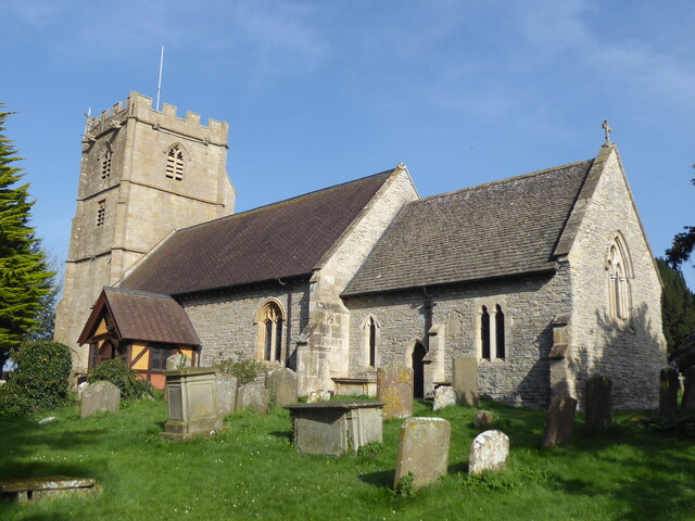
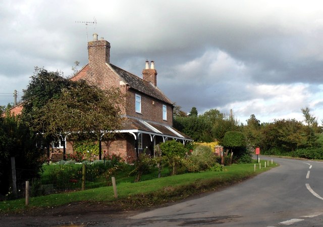
The Leigh is a small village located in the county of Gloucestershire, England. Situated in the Cotswolds Area of Outstanding Natural Beauty, it offers a picturesque and idyllic setting. The village is nestled in a valley, surrounded by rolling hills and stunning countryside views.

With a population of around 500 residents, The Leigh maintains a close-knit community atmosphere. The village is characterized by its charming stone cottages, some of which date back to the 17th century, giving it a timeless and traditional feel. The architecture in The Leigh is predominantly Cotswold stone, adding to its rustic and quintessential English village charm.

Despite its small size, The Leigh has a thriving community spirit, with various amenities and activities available to its residents. The village boasts a well-regarded primary school, providing education to local children. Additionally, there is a village hall that serves as a hub for social events and gatherings.

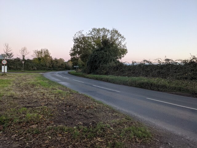
The surrounding natural beauty of The Leigh provides ample opportunities for outdoor activities. The village is surrounded by footpaths and bridleways, making it a popular destination for walkers, hikers, and cyclists. The nearby Cotswold Way, a long-distance trail, passes through the village, further enhancing its appeal to outdoor enthusiasts.

Overall, The Leigh offers a tranquil and picturesque setting, ideal for those seeking a peaceful and scenic place to call home. Its combination of natural beauty, historic architecture, and strong community spirit make it a truly special village in Gloucestershire.

If you have any feedback on the listing, please let us know in the comments section below.
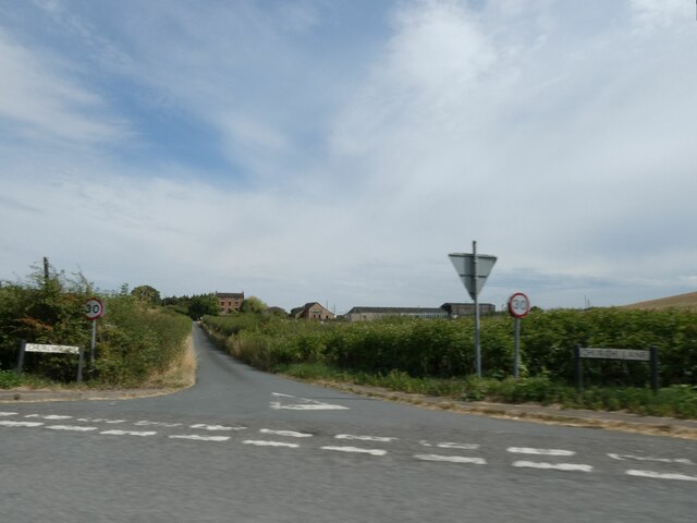
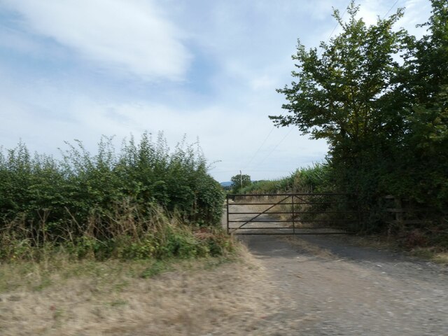
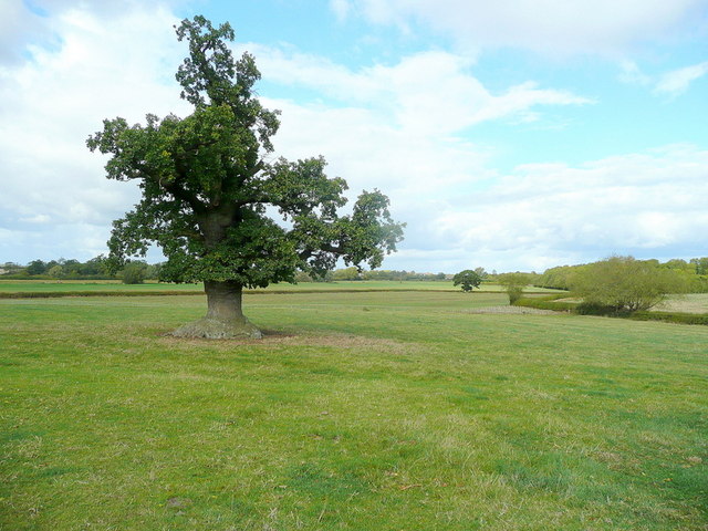
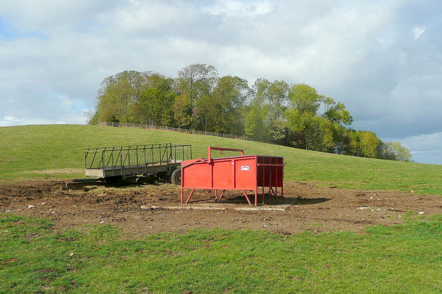
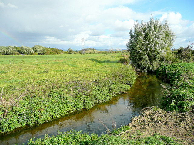
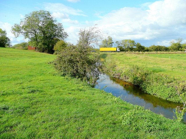
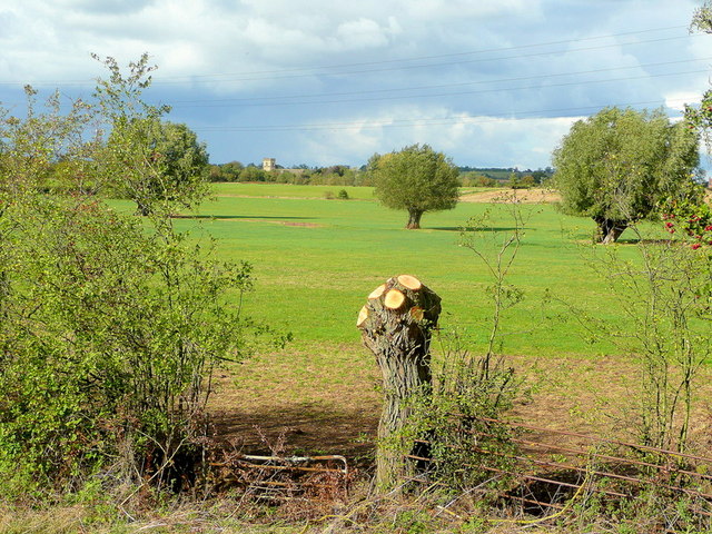
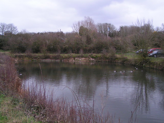
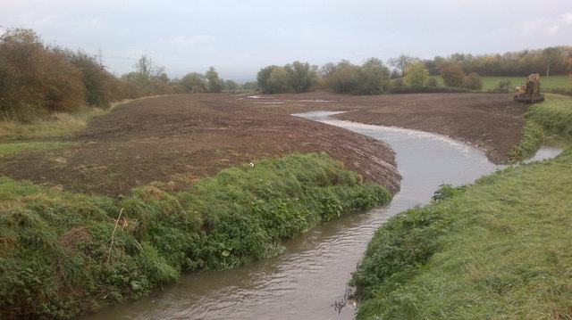
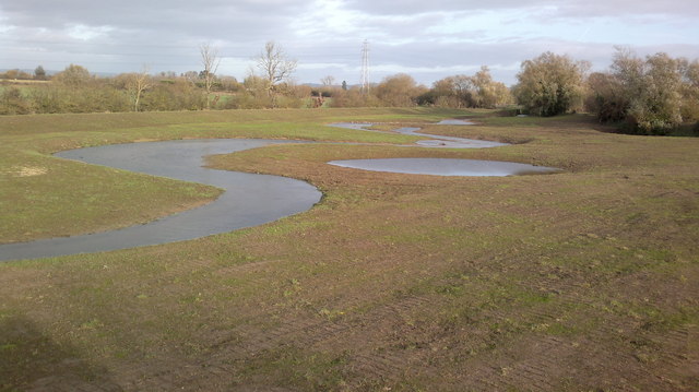
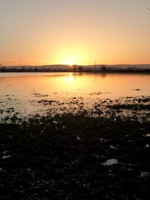
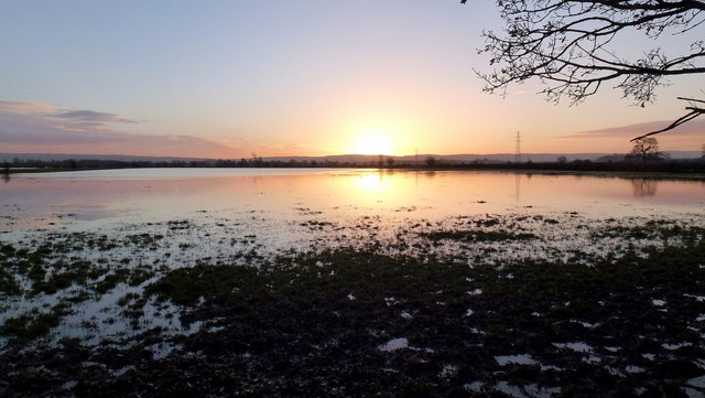
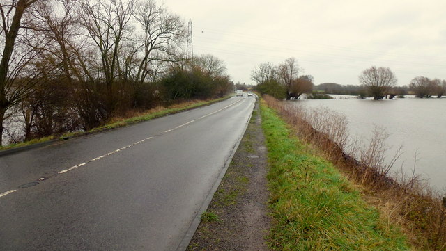
The Leigh Images

Images are sourced within 2km of 51.933017/-2.190722 or Grid Reference SO8626. Thanks to Geograph Open Source API. All images are credited.

Cottage at The Leigh The Leigh is a quiet backwater just off the A38.
Cottage at The Leigh
The Leigh is a quiet backwater just off the A38.
The B4213 road (Apperley) Here is the B4213 road at Apperley, which later joins in the A38 road in the distance.
The B4213 road (Apperley)
Here is the B4213 road at Apperley, which later joins in the A38 road in the distance.
Prior's Norton, St Mary
Little used bus stop by A38 at Pancake Corner The grass has spread over the pavement
Little used bus stop by A38 at Pancake Corner
The grass has spread over the pavement
Road to Prior's Norton from A38
Field gate and footpath at Pancake Corner
Old oak by a footpath The path north from Barrow follows the flat Chelt valley floor towards Knights Bridge.
Old oak by a footpath
The path north from Barrow follows the flat Chelt valley floor towards Knights Bridge.
Barrow Hill The equipment has been recently used for cattle in this field.
Taken from the stile for the footpath north to Knights Bridge.
Barrow Hill
The equipment has been recently used for cattle in this field. Taken from the stile for the footpath north to Knights Bridge.
River Chelt A small tributary of the mighty Severn that lends its name to a large Regency spa town.
River Chelt
A small tributary of the mighty Severn that lends its name to a large Regency spa town.
River Chelt near Inchmore Bridge The flow is away from the camera towards the busy A38.
River Chelt near Inchmore Bridge
The flow is away from the camera towards the busy A38.
View across the floodplain Looking towards Leigh church tower from Inchmore Bridge on the A38.
View across the floodplain
Looking towards Leigh church tower from Inchmore Bridge on the A38.
Coombe Hill Canal basin The end of the Coombe Hill Canal - the basin where coal for Cheltenham was once unloaded.
Coombe Hill Canal basin
The end of the Coombe Hill Canal - the basin where coal for Cheltenham was once unloaded.
River Chelt's new route Looking towards the A38, the river Chelt has been rerouted to provide a new wetland area for wildlife.
  To the right is the old coarse, now used as a fish refuge.
River Chelt's new route
Looking towards the A38, the river Chelt has been rerouted to provide a new wetland area for wildlife. To the right is the old coarse, now used as a fish refuge.
River Chelt's new wetland areas The Chelt's new coarse with a new flood barrier stretching out to the rear toward the A38 and new wetland areas in the foreground.
River Chelt's new wetland areas
The Chelt's new coarse with a new flood barrier stretching out to the rear toward the A38 and new wetland areas in the foreground.
Cottage on road junction, Lower Apperley
Cobney meadows at dawn, 1 08:24 and the sun has just cleared the crest of the distant Cotswolds.
Floodwaters from November are receding very slowly.
Cobney meadows at dawn, 1
08:24 and the sun has just cleared the crest of the distant Cotswolds. Floodwaters from November are receding very slowly.
Cobney meadows at dawn, 2 08:23 and the sun is just about to rise over the distant Cotswolds.
Parts of the Severn floodplain are still inundated after November's flooding.
Cobney meadows at dawn, 2
08:23 and the sun is just about to rise over the distant Cotswolds. Parts of the Severn floodplain are still inundated after November's flooding.
A38 near Norton The Severn floodplain extends to both sides of the main road where the small River Chelt is now Lake Chelt.
A38 near Norton
The Severn floodplain extends to both sides of the main road where the small River Chelt is now Lake Chelt.
Show me another place!

The Leigh is located at Grid Ref: SO8626 (Lat: 51.933017, Lng: -2.190722)

Administrative County: Gloucestershire

District: Tewkesbury

Police Authority: Gloucestershire

What 3 Words

///haven.cautious.bloodshot. Near Churchdown, Gloucestershire

Related Wikis

Leigh, Gloucestershire

Leigh is a village and civil parish in the district of Tewkesbury, in the county of Gloucestershire, England. As of 2019, it has a population of 325....

Barrow, Gloucestershire

The Barrow is a hamlet in Gloucestershire, England. ISS Boddington is within the hamlet. == References == == External links == Media related to Barrow...

Apperley

Apperley is a village in Gloucestershire, England, about 3 miles (5 km) southwest of Tewkesbury, 1 mile (1.6 km) south of Deerhurst and 1⁄3 mile (0.5 km...

Coombe Hill, Tewkesbury

Coombe Hill is a hamlet in the civil parish of Leigh in Gloucestershire, England. It lies on the A38 road between Gloucester and Tewkesbury, at the junction...

Nearby Amenities

Located within 500m of 51.933017,-2.190722
Leigh
Is In: Gloucestershire, England, UK
Place: village
Lat/Long: 51.9329966/-2.1897132
Post Box
Collection Times: Mo-Fr 16:15; Sa 11:30
Post Box Mounting: pier
Post Box Type: lamp
Ref: GL19 332
Royal Cypher: EIIR
Royal Cypher Wikidata: Q33102113
Lat/Long: 51.9340568/-2.1892659
Evington
Place: hamlet
Lat/Long: 51.9295337/-2.1904123
Marker: pedestal
Operator: CLH
Operator Old: GPSS
Ref: CP 2268
Source: survey
Utility: oil
Lat/Long: 51.9294403/-2.1877438
Marker: aerial
Operator: CLH
Operator Old: GPSS
Ref GPSS: 19467
Source: survey
Utility: oil
Lat/Long: 51.9293567/-2.1878712
Marker: aerial
Operator: CLH
Operator Old: GPSS
Ref GPSS: 18256
Source: survey
Utility: oil
Lat/Long: 51.9294452/-2.1877364
Power: pole
Lat/Long: 51.9304475/-2.195834
Power: pole
Lat/Long: 51.9304264/-2.1964878
Power: pole
Lat/Long: 51.9311938/-2.1969639
Power: pole
Lat/Long: 51.9319603/-2.1974467
Power: pole
Lat/Long: 51.9327285/-2.1979301
Denes Hollow
Power: pole
Transformer: distribution
Voltage Primary: 11000
Lat/Long: 51.9314952/-2.1848014
Power: pole
Lat/Long: 51.9307084/-2.185138
Power: pole
Lat/Long: 51.9304863/-2.1854565
Bramley
Power: pole
Transformer: distribution
Voltage Primary: 11000
Lat/Long: 51.9292157/-2.1872784
Power: pole
Lat/Long: 51.9294588/-2.1871832
Power: pole
Lat/Long: 51.9302205/-2.1868908
Power: pole
Lat/Long: 51.9309796/-2.1865998
Leigh West
Power: pole
Transformer: distribution
Voltage Primary: 11000
Lat/Long: 51.9337192/-2.192268
Power: pole
Lat/Long: 51.9333326/-2.1922177
Power: pole
Lat/Long: 51.9329187/-2.1921755
Power: pole
Lat/Long: 51.9326541/-2.1921325
Power: pole
Lat/Long: 51.9326401/-2.1914016
Power: pole
Lat/Long: 51.932609/-2.1901169
Power: pole
Lat/Long: 51.9323684/-2.1895992
Leigh Central
Power: pole
Transformer: distribution
Voltage Primary: 11000
Lat/Long: 51.9333181/-2.1887483
Power: pole
Lat/Long: 51.9328555/-2.1887315
Power: pole
Lat/Long: 51.9324317/-2.1887295
Power: pole
Lat/Long: 51.9319624/-2.1887369
Power: pole
Lat/Long: 51.9313914/-2.1875171
Power: pole
Lat/Long: 51.9312244/-2.1876224
Prospect House
Power: pole
Transformer: distribution
Voltage Primary: 11000
Lat/Long: 51.931016/-2.1889944
Power: pole
Lat/Long: 51.9308121/-2.19031
Power: pole
Lat/Long: 51.9307828/-2.1904904
Leigh South
Power: pole
Transformer: distribution
Voltage Primary: 11000
Lat/Long: 51.9296664/-2.1912072
Power: pole
Lat/Long: 51.9301609/-2.1912789
Power: pole
Lat/Long: 51.9306422/-2.1913594
Power: pole
Lat/Long: 51.930562/-2.1918925
Power: pole
Lat/Long: 51.9305231/-2.1931109
Power: pole
Lat/Long: 51.9304797/-2.1945257
The data included in this document is from www.openstreetmap.org. The data is made available under ODbL.

Have you been to The Leigh?

Leave your review of The Leigh below (or comments, questions and feedback).