Leigh, The

Settlement in Gloucestershire Tewkesbury

England

Leigh, The

Cereal crop, Lower Apperley
Cereal crop, Lower Apperley Credit: JThomas

Leigh, The, Gloucestershire is a small village located in the Cotswold district of Gloucestershire, England. Situated approximately 5 miles south-east of the historic town of Cheltenham, Leigh lies in the heart of the picturesque Cotswolds region, renowned for its scenic beauty and charming villages.

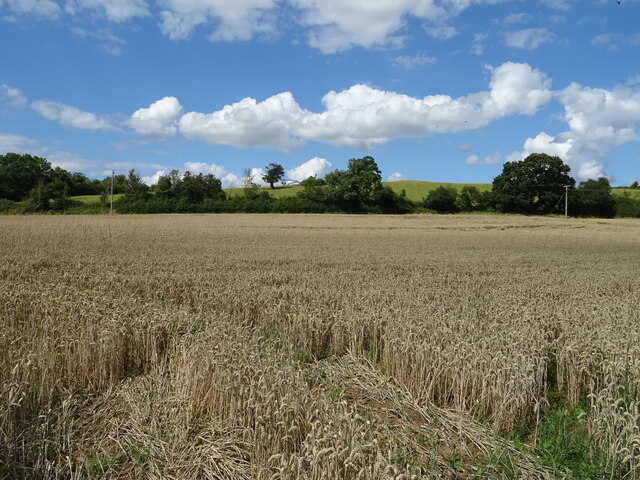
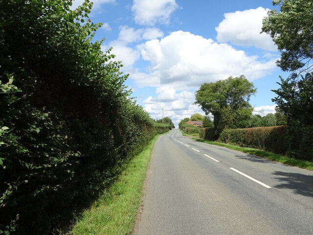
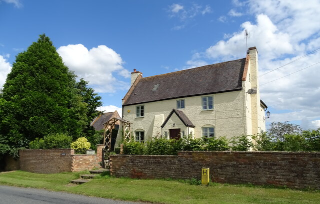
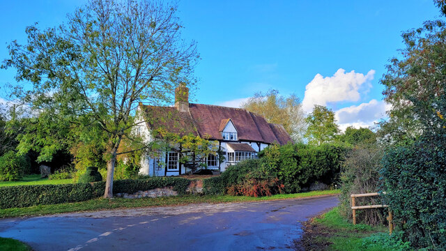
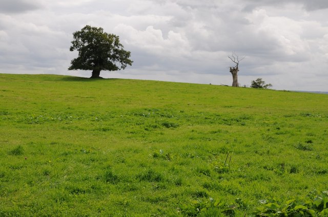
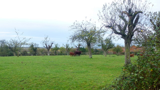
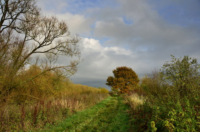
The village of Leigh is characterized by its quintessentially English countryside setting, featuring rolling hills, lush green fields, and traditional stone-built houses. It is surrounded by several other small villages such as Apperley, Coberley, and Shurdington, all contributing to the area's rural and tranquil atmosphere.

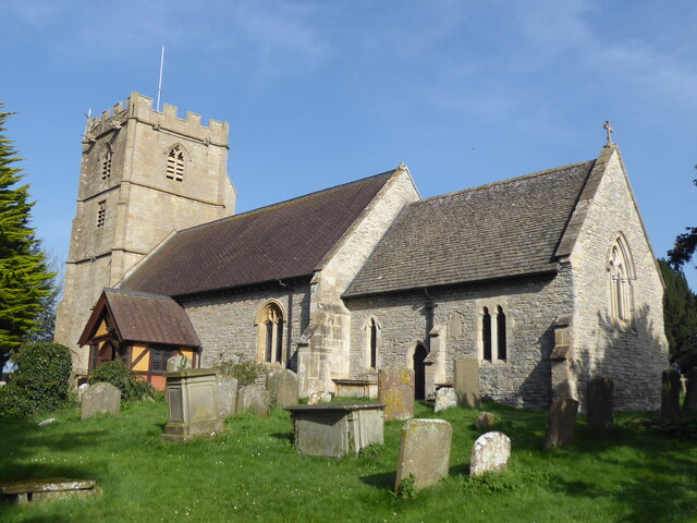
Leigh boasts a rich history dating back to the Anglo-Saxon period, with evidence of settlement in the area for over a thousand years. It is home to St. Catherine's Church, a Grade II listed building that dates back to the 12th century, showcasing the village's historical significance.

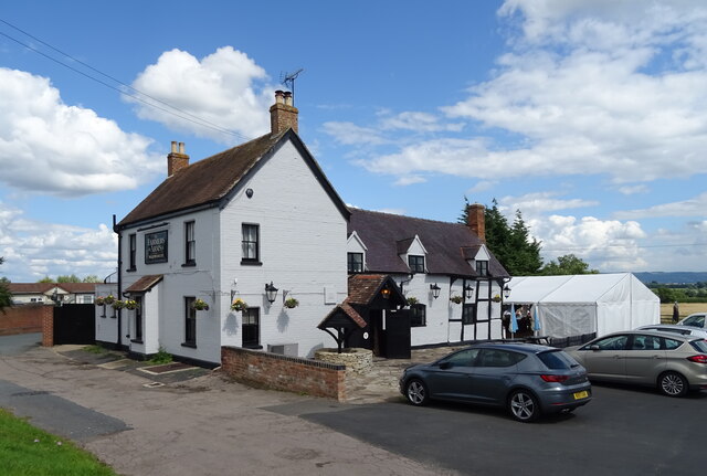
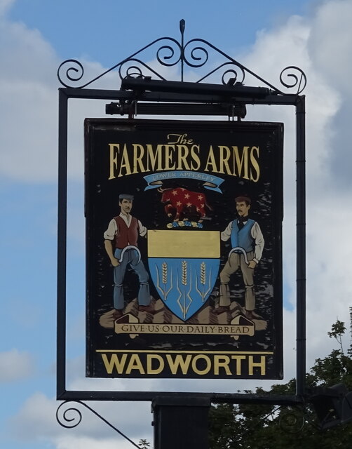
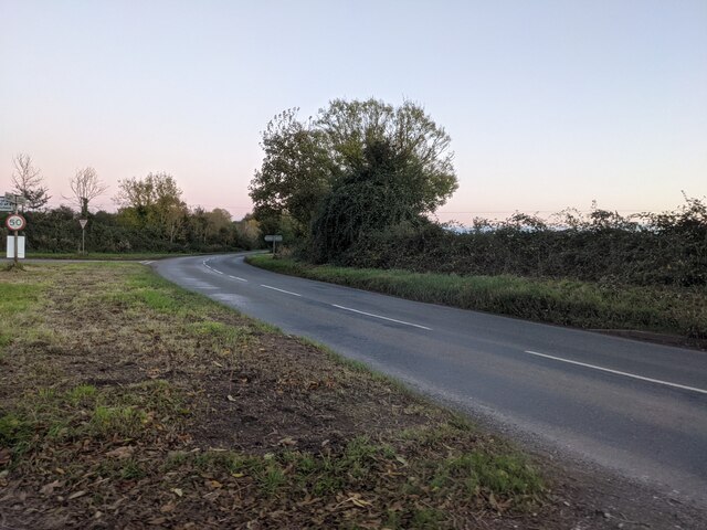
Despite its small size, Leigh offers a range of amenities for its residents. These include a village hall, a primary school, and a local pub, providing a sense of community and social gathering places. The village is also well-connected to larger towns and cities, with easy access to major road networks such as the A435 and A46, ensuring convenient transportation links.

Leigh's idyllic location within the Cotswolds makes it a popular destination for tourists and visitors seeking to explore the area's natural beauty. With its charming countryside setting and historical landmarks, Leigh, The, Gloucestershire encapsulates the essence of traditional English village life.

If you have any feedback on the listing, please let us know in the comments section below.
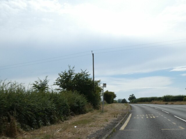
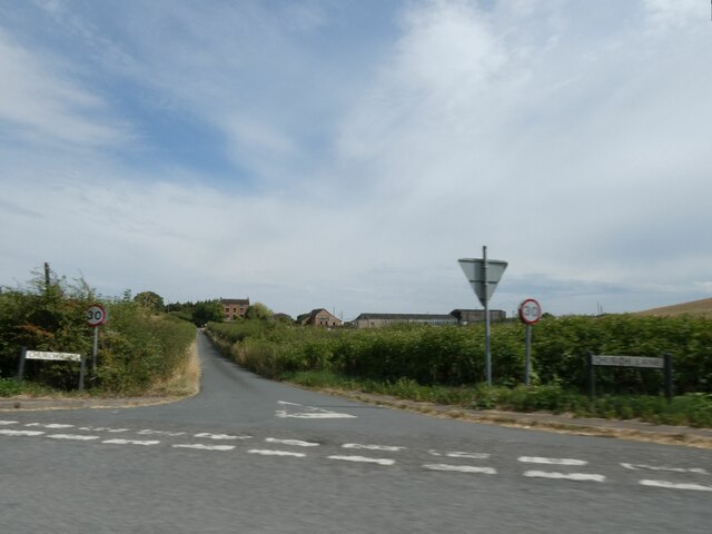
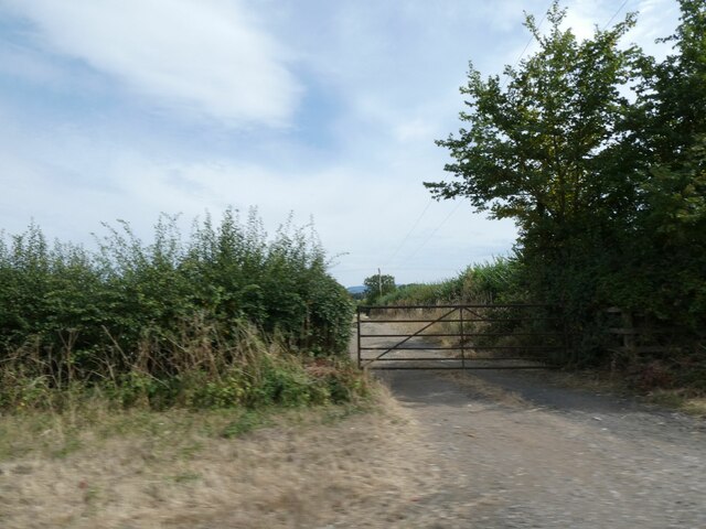
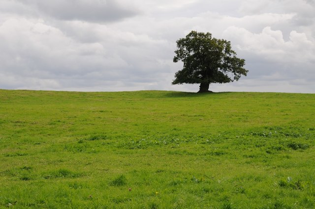
Leigh, The Images

Images are sourced within 2km of 51.933017/-2.190722 or Grid Reference SO8626. Thanks to Geograph Open Source API. All images are credited.

Cereal crop, Lower Apperley
B4213, Lower Apperley Towards the A38.
B4213, Lower Apperley
Towards the A38.
The Farmers Arms, Apperley  On the B4213.
The Farmers Arms, Apperley
On the B4213.
Sign for the Farmers Arms, Apperley
House on the B4213, Apperley
Cottage at The Leigh The Leigh is a quiet backwater just off the A38.
Cottage at The Leigh
The Leigh is a quiet backwater just off the A38.
The B4213 road (Apperley) Here is the B4213 road at Apperley, which later joins in the A38 road in the distance.
The B4213 road (Apperley)
Here is the B4213 road at Apperley, which later joins in the A38 road in the distance.
Prior's Norton, St Mary
Little used bus stop by A38 at Pancake Corner The grass has spread over the pavement
Little used bus stop by A38 at Pancake Corner
The grass has spread over the pavement
Road to Prior's Norton from A38
Field gate and footpath at Pancake Corner
Tree on Willow Hill Oak tree on Willow Hill in Lower Apperley.
Tree on Willow Hill
Oak tree on Willow Hill in Lower Apperley.
Trees in a field An oak tree and a dead tree in a field at Lower Apperley.
Trees in a field
An oak tree and a dead tree in a field at Lower Apperley.
Coombe Hill Nature Reserve The Gloucestershire Wildlife Trust Coombe Hill Nature Reserve viewed from the old tow path of the former Coombe Hill Canal.
Coombe Hill Nature Reserve
The Gloucestershire Wildlife Trust Coombe Hill Nature Reserve viewed from the old tow path of the former Coombe Hill Canal.
Coombe Hill Canal towpath The old towpath of the former Coombe Hill Canal.
Coombe Hill Canal towpath
The old towpath of the former Coombe Hill Canal.
Beef in an old orchard The fruit trees are almost gone but this land at Pancake Corner supports beef cattle.
Beef in an old orchard
The fruit trees are almost gone but this land at Pancake Corner supports beef cattle.
Track and footpath The public footpath crosses the shallow Chelt valley to get to Boddington about a country mile away.
Track and footpath
The public footpath crosses the shallow Chelt valley to get to Boddington about a country mile away.
Coombe Hill Nature Reserve Coombe Hill Nature Reserve along canal side path.
Coombe Hill Nature Reserve
Coombe Hill Nature Reserve along canal side path.
Show me another place!

Leigh, The is located at Grid Ref: SO8626 (Lat: 51.933017, Lng: -2.190722)

Administrative County: Gloucestershire

District: Tewkesbury

Police Authority: Gloucestershire

What 3 Words

///haven.cautious.bloodshot. Near Churchdown, Gloucestershire

Related Wikis

Leigh, Gloucestershire

Leigh is a village and civil parish in the district of Tewkesbury, in the county of Gloucestershire, England. As of 2019, it has a population of 325....

Barrow, Gloucestershire

The Barrow is a hamlet in Gloucestershire, England.ISS Boddington is within the hamlet. == References == == External links == Media related to Barrow...

Apperley

Apperley is a village in Gloucestershire, England, about 3 miles (5 km) southwest of Tewkesbury, 1 mile (1.6 km) south of Deerhurst and 1⁄3 mile (0.5 km...

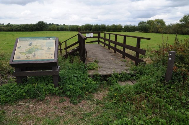
Coombe Hill, Tewkesbury

Coombe Hill is a hamlet in the civil parish of Leigh in Gloucestershire, England. It lies on the A38 road between Gloucester and Tewkesbury, at the junction...

Coombe Hill Canal

Coombe Hill Canal lies in the Vale of Gloucester, south west England, north of Leigh and runs west 2.75 miles (4.43 km) from Coombe Hill Basin to the River...

River Chelt

The River Chelt is a tributary of England's largest river, the Severn. The Chelt flows through the western edge of the Cotswolds and the town of Cheltenham...

ISS Boddington

ISS Boddington is an installation of Defence Digital (formerly Information Systems & Services), an operating cluster of the Ministry of Defence. It was...

Norton, Gloucestershire

Norton is a settlement and civil parish in the English county of Gloucestershire. == Overview == The main settlements in the parish are the three hamlets...

Nearby Amenities

Located within 500m of 51.933017,-2.190722
Leigh
Is In: Gloucestershire, England, UK
Place: village
Lat/Long: 51.9329966/-2.1897132
Post Box
Collection Times: Mo-Fr 16:15; Sa 11:30
Post Box Mounting: pier
Post Box Type: lamp
Ref: GL19 332
Royal Cypher: EIIR
Royal Cypher Wikidata: Q33102113
Lat/Long: 51.9340568/-2.1892659
Evington
Place: hamlet
Lat/Long: 51.9295337/-2.1904123
Marker: pedestal
Operator: CLH
Operator Old: GPSS
Ref: CP 2268
Source: survey
Utility: oil
Lat/Long: 51.9294403/-2.1877438
Marker: aerial
Operator: CLH
Operator Old: GPSS
Ref GPSS: 19467
Source: survey
Utility: oil
Lat/Long: 51.9293567/-2.1878712
Marker: aerial
Operator: CLH
Operator Old: GPSS
Ref GPSS: 18256
Source: survey
Utility: oil
Lat/Long: 51.9294452/-2.1877364
Power: pole
Lat/Long: 51.9304475/-2.195834
Power: pole
Lat/Long: 51.9304264/-2.1964878
Power: pole
Lat/Long: 51.9311938/-2.1969639
Power: pole
Lat/Long: 51.9319603/-2.1974467
Power: pole
Lat/Long: 51.9327285/-2.1979301
Denes Hollow
Power: pole
Transformer: distribution
Voltage Primary: 11000
Lat/Long: 51.9314952/-2.1848014
Power: pole
Lat/Long: 51.9307084/-2.185138
Power: pole
Lat/Long: 51.9304863/-2.1854565
Bramley
Power: pole
Transformer: distribution
Voltage Primary: 11000
Lat/Long: 51.9292157/-2.1872784
Power: pole
Lat/Long: 51.9294588/-2.1871832
Power: pole
Lat/Long: 51.9302205/-2.1868908
Power: pole
Lat/Long: 51.9309796/-2.1865998
Leigh West
Power: pole
Transformer: distribution
Voltage Primary: 11000
Lat/Long: 51.9337192/-2.192268
Power: pole
Lat/Long: 51.9333326/-2.1922177
Power: pole
Lat/Long: 51.9329187/-2.1921755
Power: pole
Lat/Long: 51.9326541/-2.1921325
Power: pole
Lat/Long: 51.9326401/-2.1914016
Power: pole
Lat/Long: 51.932609/-2.1901169
Power: pole
Lat/Long: 51.9323684/-2.1895992
Leigh Central
Power: pole
Transformer: distribution
Voltage Primary: 11000
Lat/Long: 51.9333181/-2.1887483
Power: pole
Lat/Long: 51.9328555/-2.1887315
Power: pole
Lat/Long: 51.9324317/-2.1887295
Power: pole
Lat/Long: 51.9319624/-2.1887369
Power: pole
Lat/Long: 51.9313914/-2.1875171
Power: pole
Lat/Long: 51.9312244/-2.1876224
Prospect House
Power: pole
Transformer: distribution
Voltage Primary: 11000
Lat/Long: 51.931016/-2.1889944
Power: pole
Lat/Long: 51.9308121/-2.19031
Power: pole
Lat/Long: 51.9307828/-2.1904904
Leigh South
Power: pole
Transformer: distribution
Voltage Primary: 11000
Lat/Long: 51.9296664/-2.1912072
Power: pole
Lat/Long: 51.9301609/-2.1912789
Power: pole
Lat/Long: 51.9306422/-2.1913594
Power: pole
Lat/Long: 51.930562/-2.1918925
Power: pole
Lat/Long: 51.9305231/-2.1931109
Power: pole
Lat/Long: 51.9304797/-2.1945257
The data included in this document is from www.openstreetmap.org. The data is made available under ODbL.

Have you been to Leigh, The?

Leave your review of Leigh, The below (or comments, questions and feedback).