Highlands, The
Settlement in Sussex Rother
England
Highlands, The
The Highlands is a picturesque area located in the county of Sussex, England. Situated amidst rolling hills and lush greenery, it offers a serene and tranquil environment for residents and visitors alike. With its beautiful landscapes and charming villages, the Highlands is a popular destination for those seeking a peaceful retreat.
The region is known for its stunning natural beauty, with numerous walking trails and scenic viewpoints. Visitors can explore the South Downs National Park, which encompasses a significant portion of the area, and enjoy breathtaking views of the surrounding countryside. The park also offers opportunities for outdoor activities such as hiking, cycling, and horseback riding.
In addition to its natural attractions, the Highlands is home to several historic towns and villages. The town of Lewes, with its medieval castle and charming streets lined with timber-framed houses, is a must-visit for history enthusiasts. Another notable town is Eastbourne, famous for its Victorian pier and stunning seafront promenade.
The Highlands is also renowned for its traditional English pubs and quaint tearooms, where visitors can savor delicious homemade treats and sample local ales. The region's culinary scene is diverse, with a range of restaurants offering both traditional British cuisine and international flavors.
Overall, the Highlands in Sussex is a destination that combines natural beauty, rich history, and a warm and welcoming atmosphere. Whether exploring the great outdoors or immersing oneself in the local culture, this area offers a truly memorable experience for all who visit.
If you have any feedback on the listing, please let us know in the comments section below.
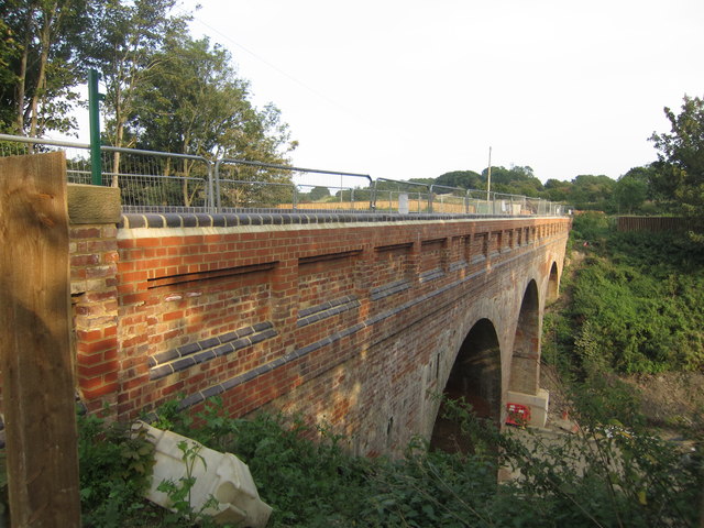
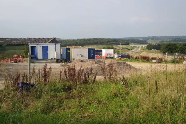
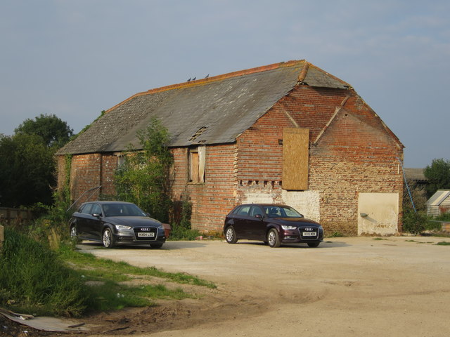
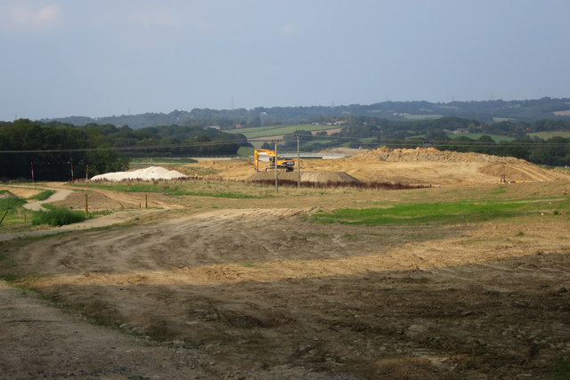
Highlands, The Images
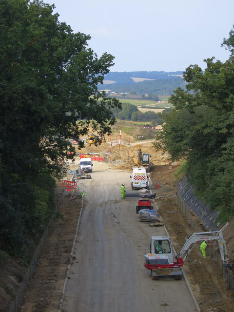
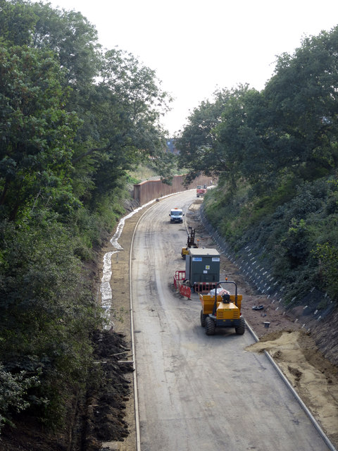
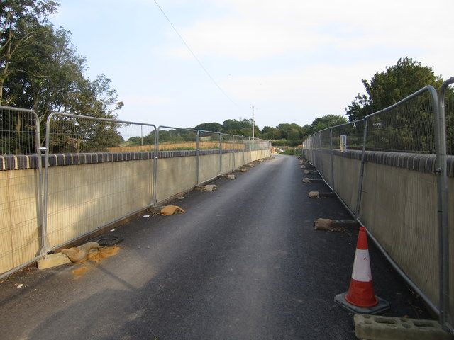
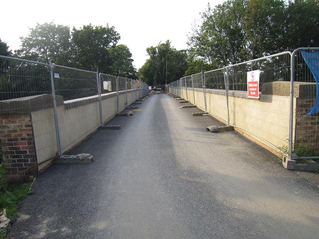
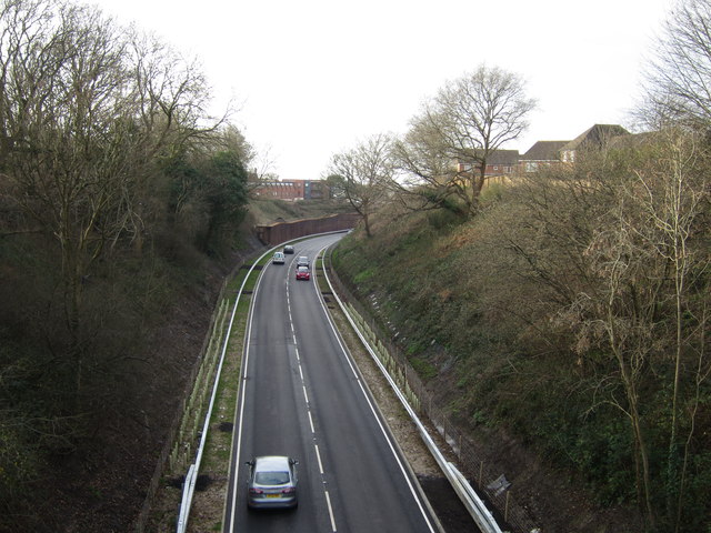
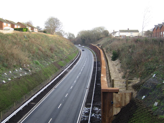
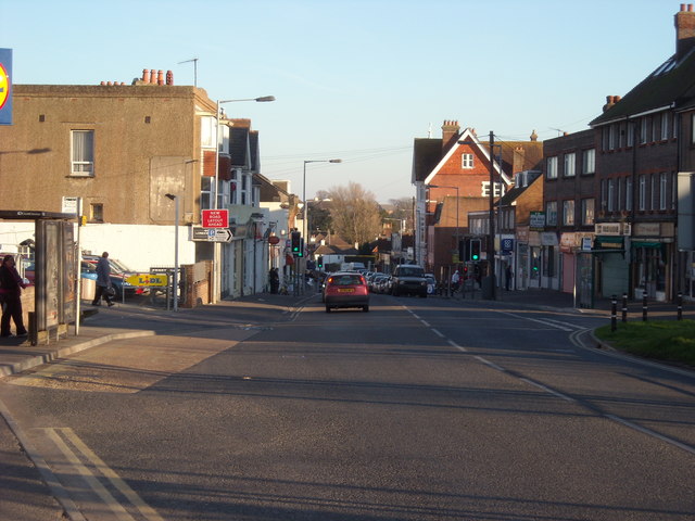
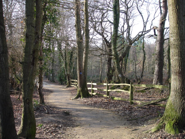
Images are sourced within 2km of 50.861192/0.454027 or Grid Reference TQ7209. Thanks to Geograph Open Source API. All images are credited.
Highlands, The is located at Grid Ref: TQ7209 (Lat: 50.861192, Lng: 0.454027)
Administrative County: East Sussex
District: Rother
Police Authority: Sussex
What 3 Words
///earpiece.protect.vitamins. Near Bexhill-on-Sea, East Sussex
Nearby Locations
Related Wikis

Bexhill High Academy
Bexhill High Academy (formerly Bexhill High School) is a coeducational secondary school with academy status, located in Bexhill-on-Sea in the English county...
Sidley, East Sussex
Sidley is a village on the outskirts of Bexhill-on-Sea in East Sussex, England. Its governance falls within the jurisdiction of the Charter Trustees town...

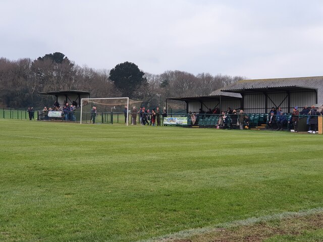
Sidley United F.C.
Sidley United Football Club is a football club based in Sidley, near Bexhill, England. The club is affiliated to the Sussex County Football Association...
High Woods
High Woods is a 33.7-hectare (83-acre) biological Site of Special Scientific Interest on the northern outskirts of Bexhill-on-Sea in East Sussex. It is...
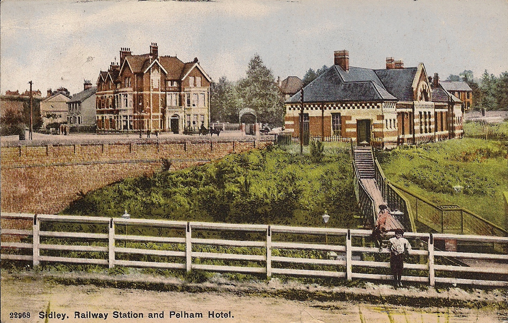
Sidley railway station
Sidley railway station is a closed railway station In Sidley, East Sussex. It was on the Bexhill West branch of the Hastings line from Tunbridge Wells...

Bexhill-on-Sea
Bexhill-on-Sea (often shortened to Bexhill) is a seaside town and civil parish in the Rother District in the county of East Sussex in South East England...
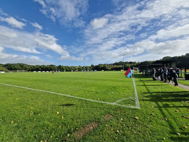
Little Common F.C.
Little Common Football Club is a football club based in the Little Common area of Bexhill-on-Sea, East Sussex, England. They are currently members of the...

Rother District
Rother is a local government district in East Sussex, England. Its council is based in Bexhill-on-Sea. The district is named after the River Rother which...
Nearby Amenities
Located within 500m of 50.861192,0.454027Have you been to Highlands, The?
Leave your review of Highlands, The below (or comments, questions and feedback).