Mill Wood
Wood, Forest in Sussex Rother
England
Mill Wood
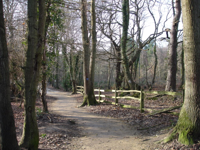
Mill Wood is a picturesque woodland located in the county of Sussex, England. Covering an area of approximately 50 acres, this enchanting forest is known for its diverse flora and fauna, making it a popular destination for nature lovers and outdoor enthusiasts.
The woodland is characterized by its dense canopy of towering trees, predominantly consisting of oak, beech, and ash. These majestic trees provide shade and shelter for a variety of wildlife species that call Mill Wood their home. Visitors can often spot squirrels, foxes, and a wide range of bird species, including woodpeckers, thrushes, and owls.
Tranquil walking trails wind through the woodland, allowing visitors to explore its natural beauty at their own pace. The paths are well-maintained, making it accessible for all ages and abilities. Along the way, walkers can admire the vibrant wildflowers that carpet the forest floor during the spring and summer months, adding a burst of color to the surroundings.
Mill Wood is also home to a small stream that meanders through the forest, enhancing the serene ambiance of the area. The stream provides a habitat for various aquatic creatures, such as frogs and water insects, adding to the biodiversity of the woodland.
Visitors are encouraged to respect the natural environment and adhere to the designated trails to preserve the delicate ecosystem of Mill Wood. With its tranquil atmosphere, diverse wildlife, and scenic beauty, Mill Wood offers a captivating escape into nature for all who visit.
If you have any feedback on the listing, please let us know in the comments section below.
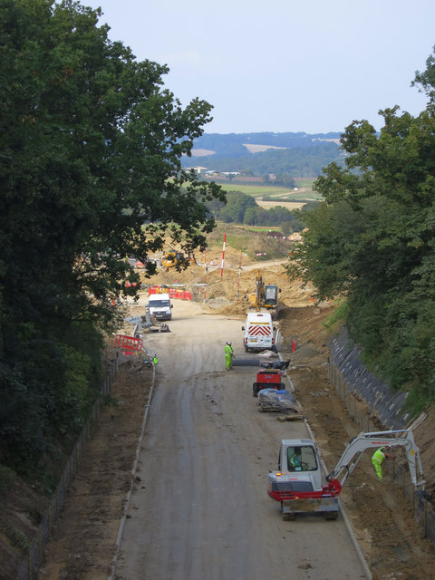
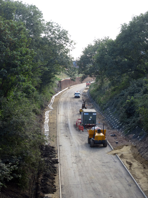
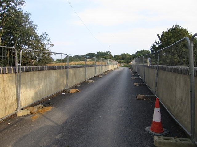
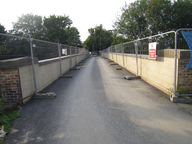
Mill Wood Images
Images are sourced within 2km of 50.862217/0.45683611 or Grid Reference TQ7209. Thanks to Geograph Open Source API. All images are credited.


Mill Wood is located at Grid Ref: TQ7209 (Lat: 50.862217, Lng: 0.45683611)
Administrative County: East Sussex
District: Rother
Police Authority: Sussex
What 3 Words
///cave.diplomats.subplot. Near Bexhill-on-Sea, East Sussex
Nearby Locations
Related Wikis

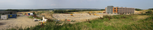
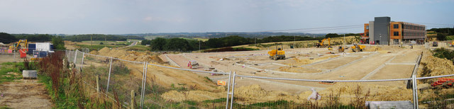
Bexhill High Academy
Bexhill High Academy (formerly Bexhill High School) is a coeducational secondary school with academy status, located in Bexhill-on-Sea in the English county...
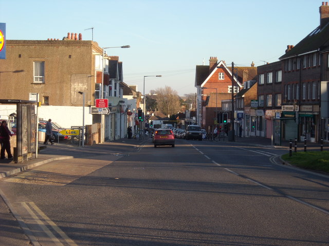
Sidley, East Sussex
Sidley is a village on the outskirts of Bexhill-on-Sea in East Sussex, England. Its governance falls within the jurisdiction of the Charter Trustees town...

Sidley United F.C.
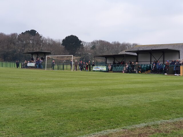
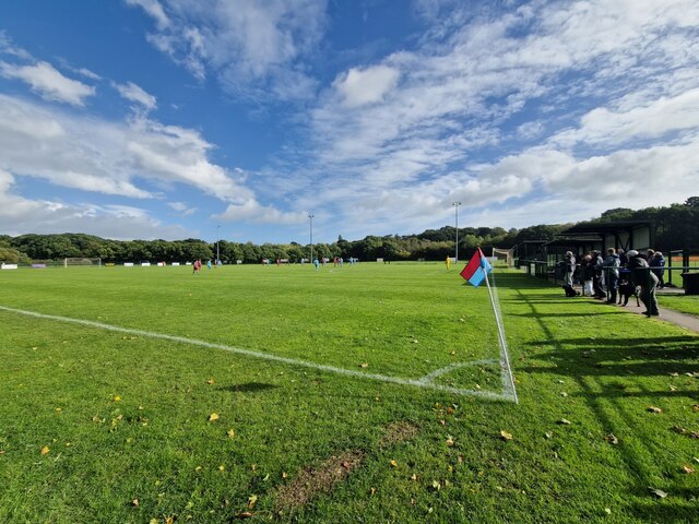
Sidley United Football Club is a football club based in Sidley, near Bexhill, England. The club is affiliated to the Sussex County Football Association...
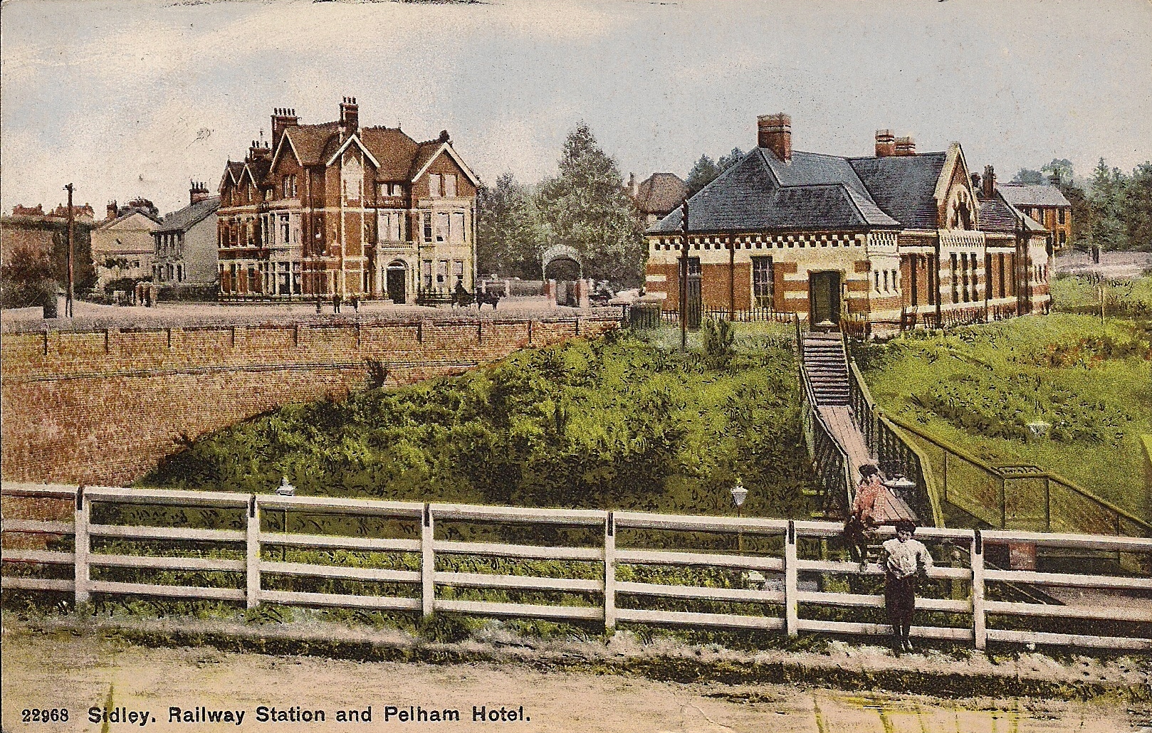
Sidley railway station
Sidley railway station is a closed railway station In Sidley, East Sussex. It was on the Bexhill West branch of the Hastings line from Tunbridge Wells...

Bexhill-on-Sea
Bexhill-on-Sea (often shortened to Bexhill) is a seaside town and civil parish in the Rother District in the county of East Sussex in South East England...
High Woods
High Woods is a 33.7-hectare (83-acre) biological Site of Special Scientific Interest on the northern outskirts of Bexhill-on-Sea in East Sussex. It is...

Rother District
Rother is a local government district in East Sussex, England. Its council is based in Bexhill-on-Sea. The district is named after the River Rother which...
Bexhill Hospital
Bexhill Hospital is a National Health Service hospital at Bexhill-on-Sea in East Sussex, England. It is managed by the East Sussex Healthcare NHS Trust...
Nearby Amenities
Located within 500m of 50.862217,0.45683611Have you been to Mill Wood?
Leave your review of Mill Wood below (or comments, questions and feedback).